MyTopo
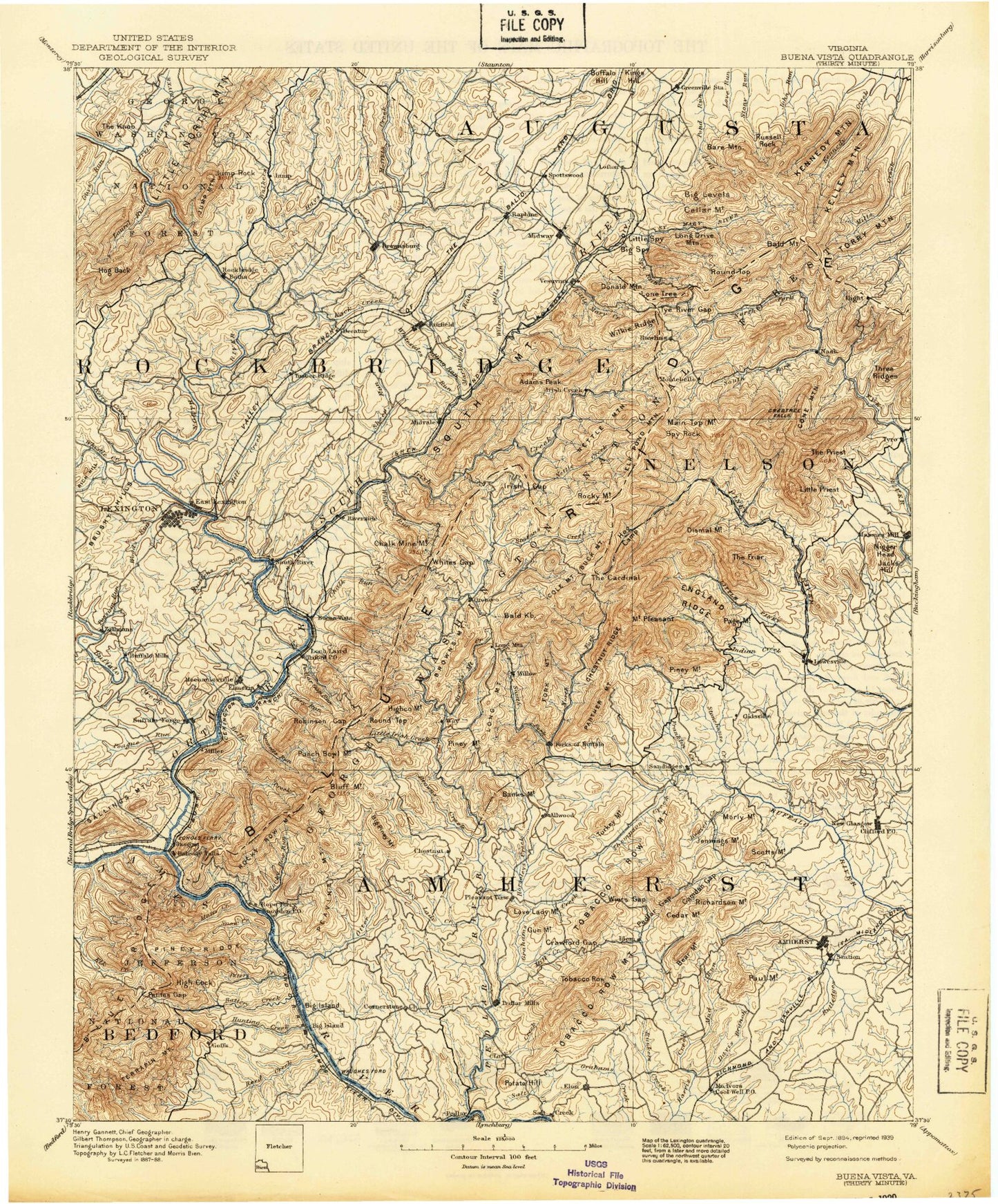
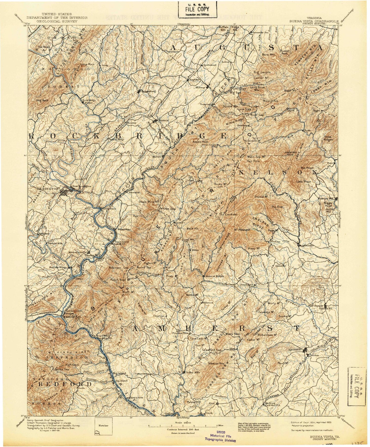
Historic 1894 Buena Vista Virginia 30'x30' Topo Map
Couldn't load pickup availability
Historical USGS topographic map of Buena Vista in the state of Virginia. Scale: 1:125000. Print size: 17" x 24"
This map was published in 1894 and is in the following counties: Amherst, Augusta, Bedford, Botetourt, Buena Vista (city), Lexington (city), Nelson, Rockbridge.
The map contains contour lines, roads, rivers, towns, streams, and lakes. Printed on high-quality waterproof paper with UV fade-resistant inks.
Contains the following named places: Adair Hill, Balcony Falls Trail, Bear Mountain, Big Hill, Big Hill, Camden Gap, Carter Branch, Cedar Creek, Cedar Mountain, Childress Creek, Cold Run, Coopers Knob, Cove Run, Cox Branch, Crawford Gap, Crawfords Store, Davies Branch, Dixon Hill, Dry Branch, Falling Rock Creek, Five Forks, Forest Creek, Gibbs Falls, Goose Creek, Gould Creek, Grassy Ridge, Gun Mountain, Hicks Store, Higginbotham Creek, High Peak, Horseshoe Bend, Huff Creek, Izaak Walton Park, Kentucky Mountain, Kerrs Creek, Love Lady Mountain, Lovers Leap, Lunsford Hill, Lusk Hill, Mill Creek, Miller Creek, Mud Creek, Paul Mountain, Pedlar Gap, Pisgah Branch, Pisgah Hill, Polecat Hollow, Potato Hill, Pryor Creek, Richardson Mountain, Roundtop Hill, Rutledge Creek, Sally Creek, Salt Creek, Shady Mountain, Strode Mountain, Tribulation Creek, Turkey Hill, Weir Gap, Whites Hill, Williams Creek, Davis, Monitor, Sardis, Woods Creek, Amherst County, Rockbridge County, Harpers Creek, Whetstone Ridge, Mill Creek, South Fork Tye River, Adams Peak, Alhambra, Allwood, Alone Mill Creek, Arnold Valley, Mount Atlas, Balcony Falls Dam, Bald Mountain, Bald Mountain Overlook, Battery Creek, Battle Run, Beaver Creek, Belfast Creek, Belfast Trail, Bellamy Creek, Belle Cove Branch, Bennetts Run, Big Bend Creek, Big Branch, Big Butt, Big Cove Branch, Big Dark Hollow, Big Hellgate Creek, Big Hollow, Big Island, Big Levels, Big Marys Creek, Big Piney Mountain, Big Rocky Row, Billys Branch, Blacksburg, Bluff Creek, Bluff Mountain, Bluff Mountain Overlook, Bluff Mountain Tunnel, Brady Hill, Broad Creek, Brown Mountain Creek, Brown Mountain Creek Shelter, Browns Creek, Browntown, Brushy Hill, Buck Branch, Buck Mountain, Buckhorn Ridge, Buena Vista Overlook, Buffalo Creek, Buffalo Forge Station, Burks Mountain, Cabin Creek, Calfpasture River, Camp Okahahwis, Camp Tanglewood, Camp Thunderbird, Camp Virginia, Campbell Creek, Camping Gap, Camping Ridge, Canodys Store, Cardinal Ridge, Cash Hollow, Cashaw Creek, Cashaw Creek Trail, Cedar Bridge Hollow, Cedar Creek, Cedar Grove, Cedar Grove Branch, Cedar Ridge, Cellar Hollow, Chalk Mine Run, Chambers Hollow, Chambers Ridge, Charlie Taylor Mountain, Cherry Orchard Hollow, Chestnut Ridge, Chestnut Sag, Childress Branch, Chimney Branch, Chinquapin Branch, Clark Creek, Clarks Gap, Clifford, Coates Mountain, Coghill Ridge, Cold Spring Bald Mountain Trail, Cold Spring Branch, Coleman Mountain, Cove Creek, Cowcamp Gap, Coxs Creek, Crab Creek, Crabtree Creek, Crabtree Falls, Craig Creek, Crawford Creek, Crawleys Creek, Cripple Creek, Crossroads Store, Cub Creek, Cypress Falls, Dancing Creek, Dancing Creek Overlook, Dark Hollow, Davidson Ridge, Davidson Run, Davis Mill Creek, Devils Branch, Devils Kitchen, Devils Marbleyard, Dismal Hollow, Dismal Mountain, Dodds Store, Dogwood Hollow, Durham Run, Dutch Hollow Branch, Elephant Mountain, Elk Creek, Elk Pond Branch, Elk Pond Mountain, Enchanted Creek, England Ridge, Falling Rock Creek, Falling Run, Falling Spring Run, Fletcher Mountain, Floyds Mountain, Ford Run, Forge Mountain, Fork Mountain, Fork Mountain Overlook, Forks of Buffalo, Franklin Creek, Georges Creek, Gidsville, Gilmer Creek, Glendye Branch, Glenn Mountain, Goff Mountain, Goose Neck Dam, Gordons Run, Goshen Branch, Goshen Pass, Grants Hollow, Grapevine Ridge, Greasy Spring Branch, Green Pond, Groahs Ridge, Gum Springs Branch, Gunter Ridge, Gunter Ridge Trail, Guys Run, Harrison Run, Hays Creek, Hellgate Ridge, Henleys Store, Henry Hill, Hickory Hollow, Hickory Stand, Highcock Knob, Hog Camp Gap, Hogback Creek, Hogback Mountain, Holcomb Rock, Horsley Creek, House Mountain Overlook


