MyTopo
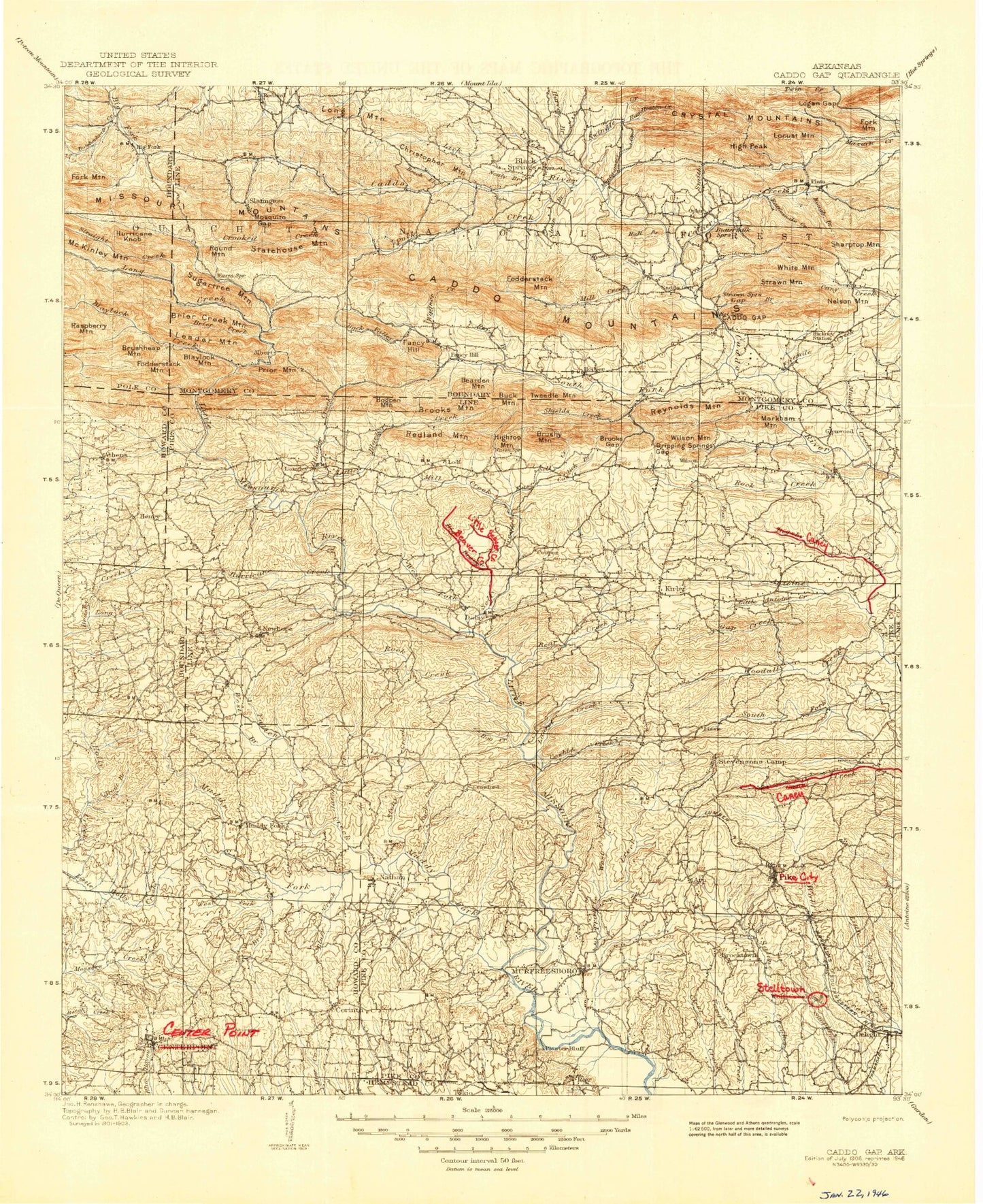
Historic 1906 Caddo Gap Arkansas 30'x30' Topo Map
Couldn't load pickup availability
Historical USGS topographic map of Caddo Gap in the state of Arkansas. Scale: 1:125000. Print size: 18" x 24"
This map was published in 1906 and is in the following counties: Clark, Hempstead, Howard, Montgomery, Pike, Polk.
The map contains contour lines, roads, rivers, towns, streams, and lakes. Printed on high-quality waterproof paper with UV fade-resistant inks.
Contains the following named places: Bacon Creek, Bandy Creek, Beacon Hill, Beacon Hill Picnic Area, Bishop Creek, Blocker Creek, Blue Creek, Bluff Creek, Briar Creek, Brickyard Creek, Brushy Creek, Buck Creek, Camp Tula, Caney Creek, Chimney Rock, Cowhide Creek, Crater of Diamonds, Daisy, Daisy Creek, Daisy State Park, Dawson Creek, Fallen Creek, Gap Creek, Gypsum Trail, Hagler Creek, Hinds Bluff, Jacobs Creek, Johnson Branch, Kirby Mountain, Kizzia Trail, Lake Slough, Lassie Gap, Laurel Creek, Little Creek, Little Wolf Creek, Long Creek, Lynn Creek, Mill Branch, Motley Gap, Muddy Fork, North Hog Creek, Oregon Branch, Panther Creek, Parker Creek, Parker Creek, Pea Ridge, Pike City, Pine Creek, Plaster Bluff, Ponder Creek, Prairie Creek, Red Branch, Riverside Picnic Area, Rock Creek, Rough Branch, Sanford Creek, School Creek, Skelton Creek, South Fork Woodall Creek, Spring Creek, Stony Creek, Sweet Home, Thompson Branch, Wall Mountain, Wall Rock, West Fork Lake Greeson, West Fork Prairie Creek, White Oak Creek, Wildcat Bluff, Woodall Creek, Wylie Picnic Area, Beardon Mountain, Corinth, Briar, Cooleyville, Delight, Dynamite Hill, Funderburk Mountain, Grandfield, Highland, Kimberley, Lassie Gap Mountain, Lyons Mountain, Mill Mountain, Mount Moriah, Nathan, Perkins, Pine Mountain, Round Top, Roy, Skelton Mountain, Twin Knobs, Green Plains, Henry, Reed, Albert Pike Recreation Area, Cox Spring, Little Missouri Falls Recreation Area, Little Raven Mountain, Crater of Diamonds State Park, Hall Branch, Ophir, Rattlesnake Creek, Township of Brewer, Township of Center Point, Township of Clay, Township of Holly Creek, Township of Mountain, Township of Muddy Fork, Howard County, Caddo Mountains, Cossatot Mountains, Crystal Mountains, Township of Antoine, Township of Brewer, Township of Clark, Township of Eagle, Township of Missouri, Township of Mountain, Township of Muddy Fork, Township of Pike City, Township of Self Creek, Township of Thompson, Township of White, Pike County, Albert, Alf, Back Valley, Bear Creek, Bear Mountain, Bear Water Hollow, Beaver Creek, Beck Mountain, Bearden Mountain, Big Tom Mountain, Bigsby Branch, Black Springs, Blaylock Creek, Blaylock Mountain, Blocker Creek, Brier Creek, Brier Creek Mountains, Brooks Gap, Brooks Mountain, Brooks Valley, Brushy Mountain, Buck Branch, Buck Mountain, Burnham Mountain, CCC Camp, Caddo Gap, Caddo Mountains, Call Branch, Caney Creek, Christopher Mountain, Clover Branch, Collier Creek, Cossatot Mountains, Cowlick Branch, Crooked Creek, Crystal Mountains, Crystal Recreation Area, Cub Mountain, Dripping Springs Gap, Dry Creek, Fancy Hill Mountain, Fivemile Creek, Fodderstack Mountain, Fodderstack Mountain, Fodderstack Range, Fork Mountain, Forrester Branch, Fox Branch, Gap Creek, Gap Mountain, Gap Mountain Trail, Hamilton Creek, High Peak, High Top Mountain, Hogpen Creek, Hogpen Mountain, Hopper, Huddleston Creek, Hurricane Creek, Hurricane Knob, Hyatt Creek, Indian Creek, Jones Valley, Juneau Spur, Leader Mountain, Lick Creek, Lick Mountain, Little Antoine Creek, Little Bear Creek, Little Beaver Creek, Little Blocker Creek, Little Mazarn Mountain, Little Mountain, Locust Mountain, Lodi, Logan Gap, Logan Gap Mountain, Long Creek, Long Mountain, Manfred, Markham Mountain, Mile Branch, Mill Creek, Mill Creek, Missouri Mountains, Montgomery Creek, Mosquito Gap, Nelson Mountain, Paul Mountain, Plata, Pole Branch Hollow, Polk Creek, Red Oak Range, Redland Gap, Redland Mountain, Reynolds Mountain, West Fork, Rock Creek, Rosboro, Rough Creek, Round Mountain, Round Top, Sand Lick Branch, Segur, Self Creek, Shields Creek, Smith Creek, Smith Creek, Smith Mountain, Smoky Hollow, South Fork Caddo River


