MyTopo
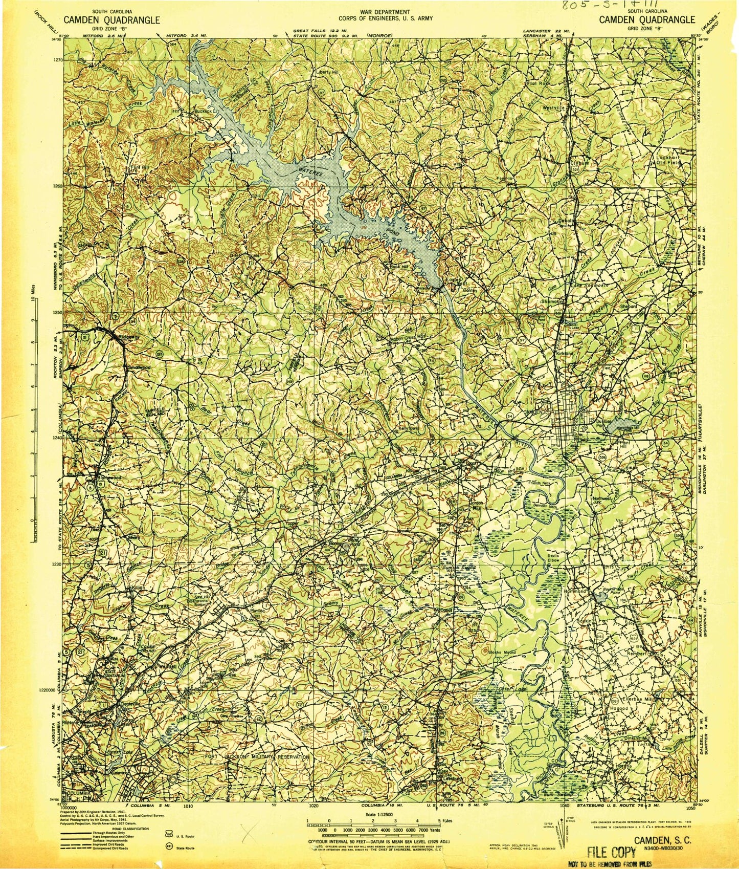
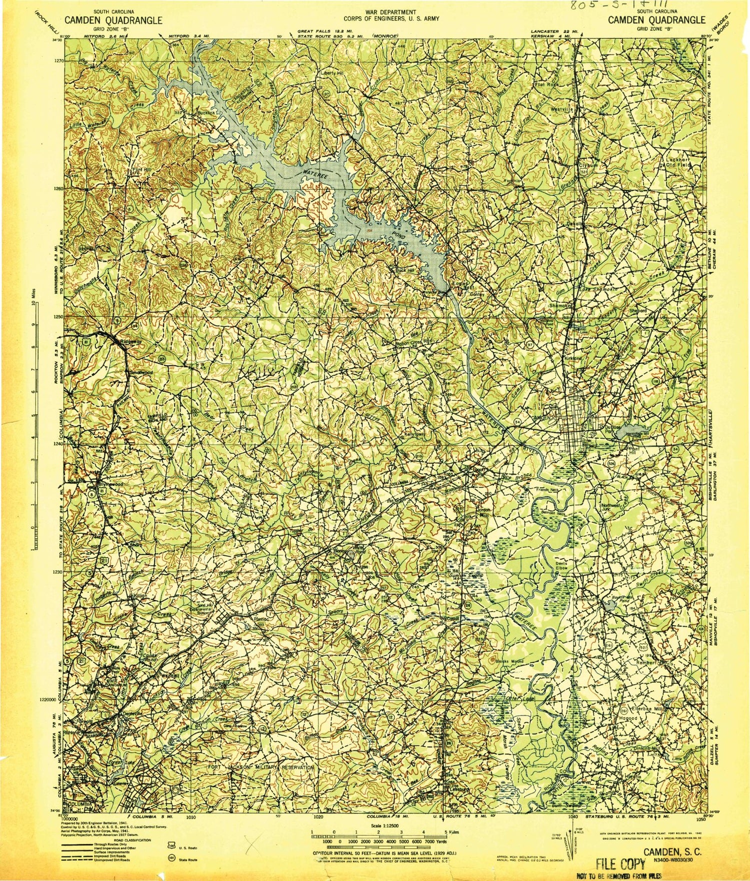
Historic 1942 Camden South Carolina 30'x30' Topo Map
Couldn't load pickup availability
Historical USGS topographic map of Camden in the state of South Carolina. Scale: 1:125000. Print size: 17" x 24"
This map was published in 1942 and is in the following counties: Fairfield, Kershaw, Lancaster, Richland, Sumter.
The map contains contour lines, roads, rivers, towns, streams, and lakes. Printed on high-quality waterproof paper with UV fade-resistant inks.
Contains the following named places: Catawba River, Adams Mill Pond, Ashbury Branch, Bear Creek, Beaver Creek, Bee Branch, Bee Branch, Bell Branch, Bells Camp, Bells Pond, Belmont Neck, Berkeley Branch, Bethel Campground, Big Branch, Big Pine Tree Creek, Big Wateree Creek, Bolton Branch, Boney Creek, Boyden Arbor, Boyden Arbor Pond, Briar Branch, Bridge Creek, Bruners Pond, Buck Creek, Buckingham Landing Pond, Buffalo Creek, Bynum Creek, Camp Longridge, Cedar Fork, Chaver Pond, Clark Pond, Clyburn, Cobbs Pond, Colonial Lake, Company Pond, Cook Run, Crescent Lake, Crooked Creek, Cumbess Creek, Daley Branch, Davis Pond, Devils Elbow, Dodge Branch, Donnington Branch, Drexel Lake, Dry Branch, Dry Branch, Du Bose Park, Duck Bottom Lake, Dupre Pond, Dutchmans Creek, Eightmile Branch, Elders Pond, English Pond, Fairlawn Community Center, Flat Branch, Forest Acres, Friends Neck, Gibsons Neck, Gilles Ditch, Hawkins Branch, Heath Pond, Hidden Acres Pond, Hogfork Branch, Horatio, Horse Branch, Horsepen Creek, Hughes Pond, Hyco Branch, Jim Branch, Jumping Gully, Jumping Run Creek, Lake Katherine, Kelly Creek, Kirkland, Kirkland Pond, Lake Clear, Langley Branch, Leesburg Branch, Lightwood Knot Branch, Lightwood Knot Branch, Little Beaver Creek, Little Jackson Creek, Little Rafting Creek, Little Swift Creek, Little Wateree Creek, Little White Pond, Lot Branch, Lots Fork, Lugoff Station, Madraw Branch, McDow Creek, McLeods Pond, Messers Pond, Mickle Lake, Moke Branch, Noahs Marsh, Orphanage Branch, Otter Lake, Otterslide Branch, Pen Branch, Pigeon Roost Branch, Quinine Hill, Rafting Creek, Reedy Branch, Roberts Branch, Robertson Branch, Rock Branch, Rockford Lake, Rocky Branch, Rocky Branch, Rocky Branch, Rose Creek, Round Top Branch, Rowell Creek, Rununder Branch, Rymers Pond, Sanders Creek, Sawneys Creek, Scabbler Branch, Semmes Lake, Sesquicentennial Pond, Sesquicentennial State Park, Shamokin, Showerbath Branch, Simmons Creek, Sip Hole, Sloan Branch, Smallwood, Sorghum Branch, Spears Creek, Spring Branch, Spring Lake, Stevensons Lake, Stillhouse Branch, Sunny Acres Pond, Suttons Branch, Thomas Branch, Thoroughfare Branch, Town Creek, Tuppler Branch, Wannah Plantation, Wateree Dam, Wateree Lake, Westons Pond, Westville, White Marsh Swamp, White Oak Slash Lake, White Oak Creek, Windsor Lake, Wise Marsh, Wolfpin Branch, Lake in the Woods, Yankee Branch, Bucklick, Kellytown, Lake Shamokin, Arcadia Lakes, Barfield Mill, Boney, Buck Hill, Colonel Creek Landing, Dinkins Mill, Eagles Nest, Fort Hill, Gaston Mill, Hammond, Jordan Mill, Leesburg, Lugoff, McCaskill, Ravenwood, Rembert, Ridgeway, Sanders Corner, Sharp, State Park, Weddell, Arrowwood, Blaney Hills, Blaney West, Boykin Park, Branham Heights, Camden Country Club, Camden Plaza Shopping Center, Camden Polo Club, Cedar Springs, Cool Springs, Curetons Pond, Dusty Bend, Edgewood, Elgin Acres, Elgin Farms, Fairfax, Forest Heights, Four Seasons, Gettysburg, Green Valley, Grooms Park, Gum Swamp, Highland Farms, Hillsdale, Hobkirk Hill, Hyco, Jeffers Place, Johnsons Pond, Jumelle Hill, Kendall Mill Historic District, Kershaw County Fairgrounds, Kershaw Park, Kirkover Hills, Kirkwood, Kirkwood Branch, Knights Hill, Lafayette Village, Liberty Hill Historic District, Loves Shoals, Mayfield Acres, Monument Park, N R Goodale State Park, North Towne Square Shopping Center, Norris Heights, Pecan Grove, Pecan Orchard, Peckwoods, Pepper Ridge, Pine Creek, Pine Land, Pine Mark, Pine Valley, Pinewood Heights, Red Hill, Rock Branch North, Sandy Springs, Sandwood Hills, Scott Park


