MyTopo
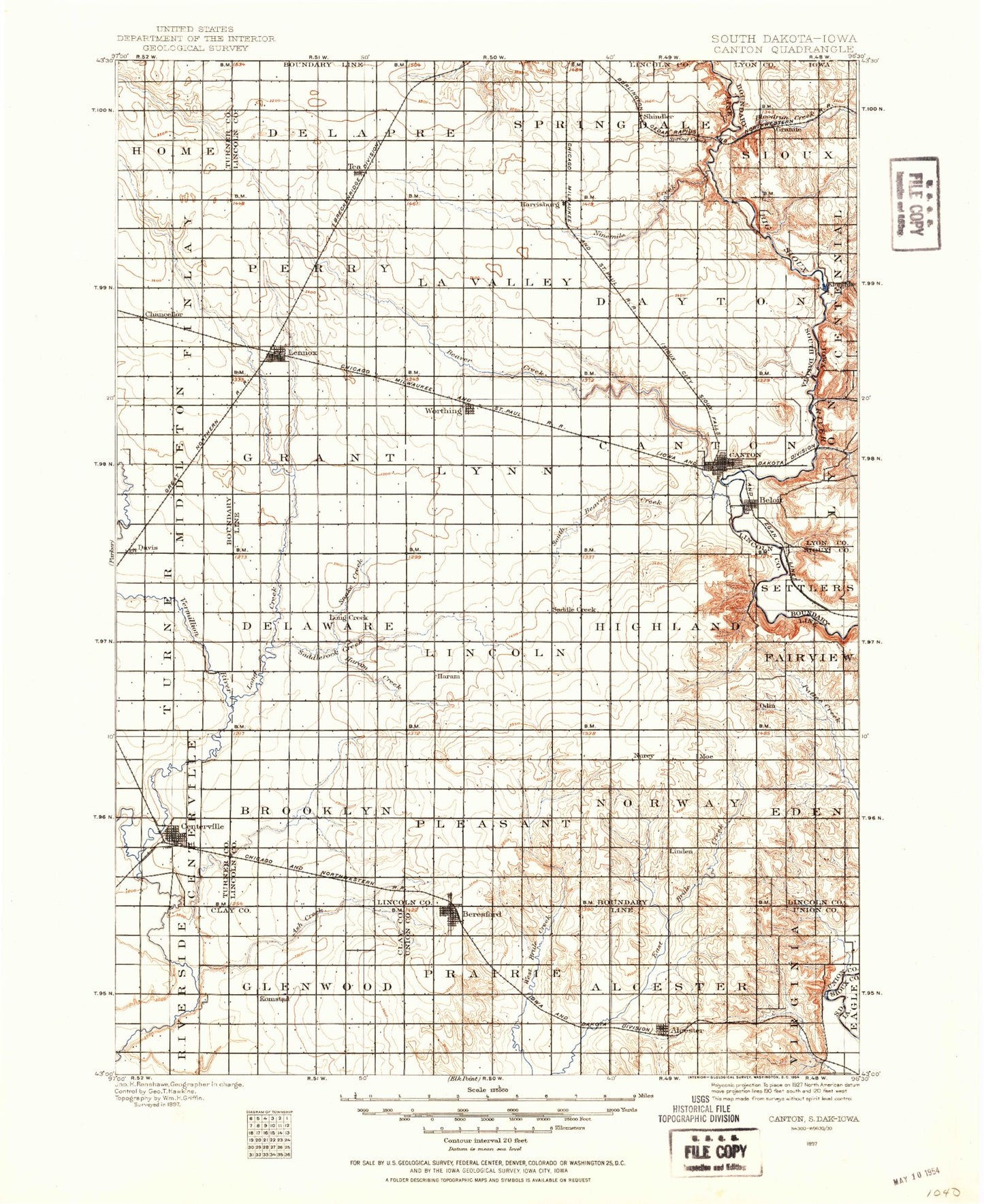
Historic 1897 Canton South Dakota 30'x30' Topo Map
Couldn't load pickup availability
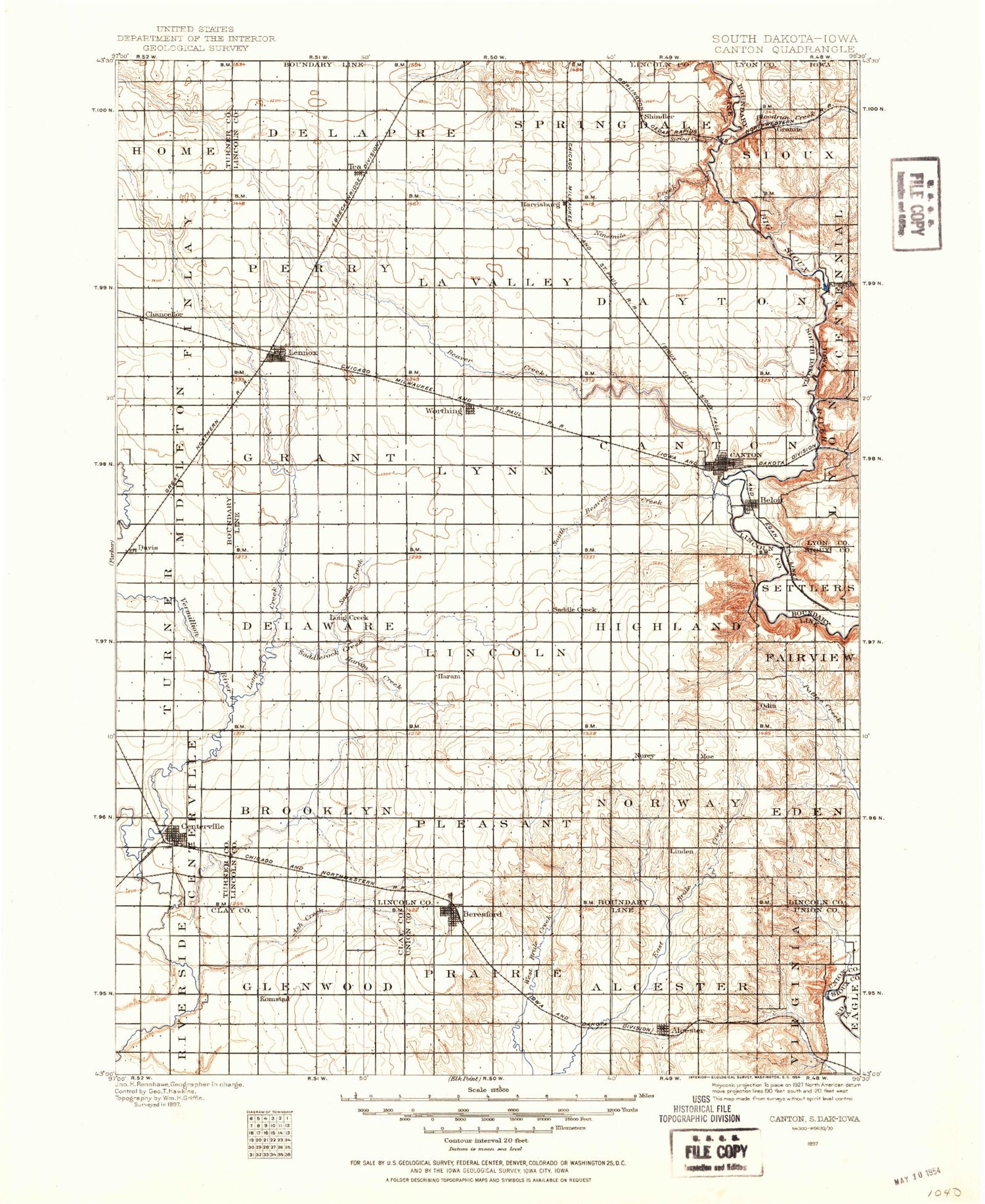
Historical USGS topographic map of Cantonin the states of South Dakota, Minnesota, Iowa. Scale: 1:125000. Print size: 17" x 24"
This map was published in 1897 and is in the following counties: Clay, Lincoln, Lyon, Minnehaha, Sioux, Turner, Union.
The map contains contour lines, roads, rivers, towns, streams, and lakes. Printed on high-quality waterproof paper with UV fade-resistant inks.
Contains the following named places: Blood Run, Lake Albert, Alcester, Lake Alvin, Ash Creek, Beaver Creek, Blind Creek, Bonine Ditch, Canton, Carlson Lake, Chancellor, Davis, Ditch Number 14, Ditch Number Four, Ditch Number Eight, Finnie Creek, Gunderson Park, Haram Creek, Lake Alvin State Recreation Area, Lennox, Little Beaver Creek, Long Creek, Newton Hills State Park, Ninemile Creek, Ninemile Creek State Shooting Area, Noble Ditch, Saddle Creek, Sargeant Creek, Snake Creek, South Branch Green Creek, South Beaver Creek, Spring Creek, Turkey Ridge Creek, Worthing, Pattee Creek Flood Control Dam, Canton Dam, Klostergaard Dam, Stewart Dam, Evenson Dam, Alvin Dam, Moe, Naomi, Shindler, Canton Mounds, Harrisburg, Norway Center, Tea, Lincoln County, Centerville, City of Alcester, City of Beresford, City of Canton, City of Centerville, Town of Chancellor, Town of Davis, City of Harrisburg, City of Lennox, City of Tea, City of Worthing, Beresford, Township of Eden, Township of Norway, Township of Pleasant, Township of Brooklyn, Township of Fairview, Township of Highland, Township of Lincoln, Township of Delaware, Township of Canton, Township of Lynn, Township of Grant, Township of Dayton, Township of La Valley, Township of Springdale, Township of Perry, Township of Delapre, Township of Hooker, Township of Home, Township of Germantown, Township of Middleton, Township of Centerville, Township of Turner, Township of Virginia, Township of Alcester, Township of Prairie, Township of Glenwood, Township of Riverside, Spring Creek Farms, Bob Young Field, Lincoln County Waterfowl Production Area, Blood Run, Beloit, Blood Run, Gitchie Manitou State Preserve, Nelson Creek, Big Sioux Wildlife Public Hunting Area, Granite, Klondike, Klondike Creek, Township of Lyon, Township of Sioux, Little Beaver Creek, Klondike River Access, Hidden Bridge Wildlife Area, Blood Run / Rock Island National Landmark, Gutchie Manitou State Monument Park, Beloit, Big Sioux River Wildlife Area - Kroger Tract, Big Sioux River Wildlife Area - Nelson Tract, Big Sioux River Wildlife Area - Olson Tract, Stensland Pit, Valley View Farms, Cat Farms


