MyTopo
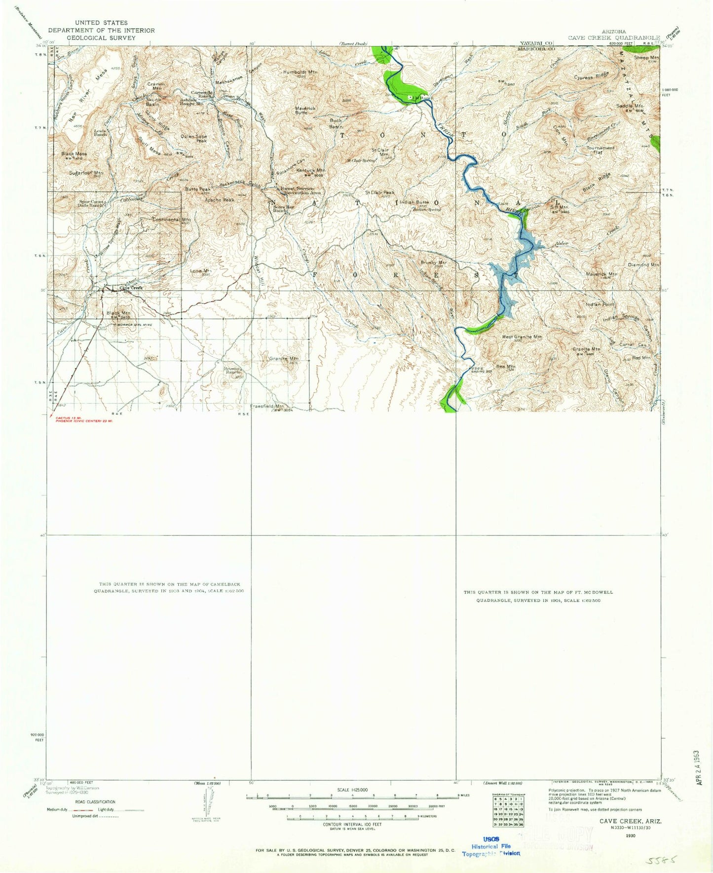
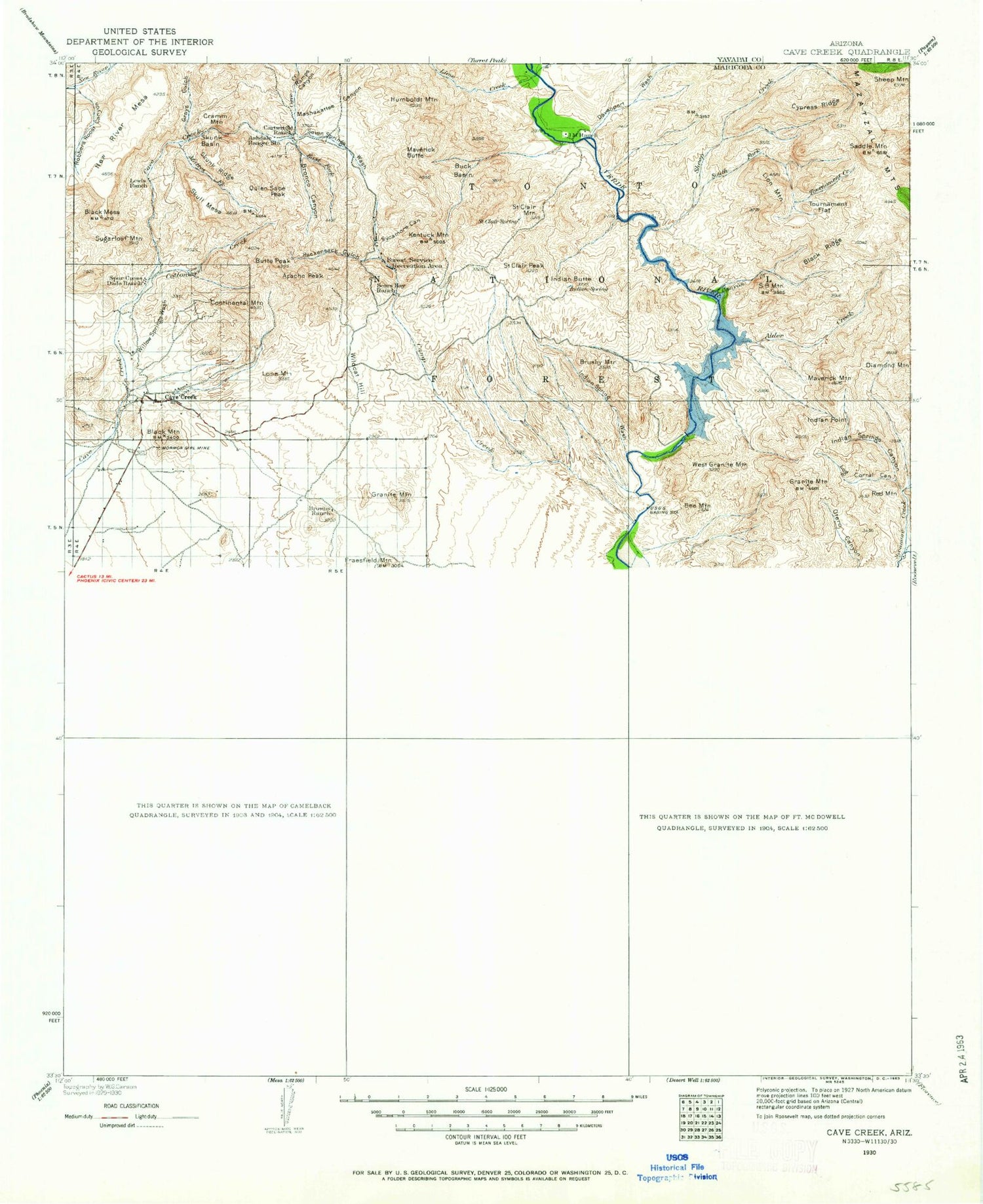
Historic 1930 Cave Creek Arizona 30'x30' Topo Map
Couldn't load pickup availability
Historical USGS topographic map of Cave Creek in the state of Arizona. Scale: 1:125000. Print size: 17" x 24"
This map was published in 1930 and is in the following counties: Maricopa, Yavapai.
The map contains contour lines, roads, rivers, towns, streams, and lakes. Printed on high-quality waterproof paper with UV fade-resistant inks.
Contains the following named places: Camelback Mountain, Currys Corner, Echo Canyon Bowl, Evergreen Station, Evergreen Substation, Indian Bend Wash, Mummy Mountain, Mummy Mountain Observatory, Paradise Park, Paradise Valley, Pinnacle Peak Substation, Sawik Mountain, Scottsdale, The Praying Monk, Agua Linda Park, Camelback Mall, Camelback Mountain Park, Camelback Walk, Camelview Plaza Shopping Center, Chaparral Park, Chestnutt Park, Comanche Park, Crossed Arrows Park, Echo Canyon Park, Indian Bend Wash Greenbelt, Indian Bend Wasteway, Marguerite Lake, Lincoln Plaza Shopping Center, Lincoln Village Shopping Center, McCormick Railroad Park, Mountain View Park, Paradise Valley Mall, Paradise Valley Substation, Park Scottsdale Shopping Center, Sahkoo Park, Sandpiper Park, Scottsdale Fashion Square Shopping Center, Scottsdale Horsemens Park, Scottsdale Shopping Center, Sereno Park, Shea Scottsdale Shopping Center, Shoshone Park, Sonrisa Park, Sweetwater Park, Thunderbird Square Shopping Center, Zuni Park, Jokaki, Echo Canyon, Gilbert Park, Taliesin West, Andalusia, Basking Ridge, Buenavante, Cactus Villa, Camelback Estates IV, Casa Rica, Cave Creek, Chimney Hill, Cinco Soles, Clearview Hills, Cobblestone Square, Continental Village, Country Horizons, Country Trace, Desert Highlands, Desert Ridge, Desert Wind II, Doubletree Canyon, El Paseo, Ensenada del Oro, Estados de La Mancha II, Firebrand Ranch, Gainey Ranch, Greenbrier East, Greenway Park V, Haciendas del Lago, Happy Valley Ranch, Heritage Court, Heritage North Ranch, Heritage Terrace, Hyde Park, Kensington, Las Villas, Links Point, McCormick Ranch, Mirador, Mission Monterey, Montclair Terrace, Oakhurst, Orangetree Estates, Paradise Valley Miranda, Paradise Village North II, Pinnacle Paradise, Pinnacle Peak Country Club Estates, Pinnacle Peak Estates I, Pinnacle Peak Estates II, Pinnacle Peak Estates III, Pinnacle Peak Shadows, Pinnacle Peak Village, Preston Hills, Quail Valley, Rancho Santa Fe, Sandalwood, Santiago, Santo Tomas, Scottsdale Ranch, Shadow Ridge II, Shiloh Canyon, Sun Valley Mobile Home Park, Sunset Ridge I, Sweetwater Garden, Sweetwater Ranch, The Covey, Village Fairways, Vista del Cerro, Windemere, Windsong, Woodleaf, Woodleaf II, Adams Mesa, Alder Creek, Apache Peak, Apache Peak, Arizona Canal, Arizona Dam Butte, Ashdale Administrative Site, Asher Hills, Barpit Tank, Bartlett Dam, Bartlett Reservoir, Bee Mountain, Beeline Tank, Big Maggie May, Black Hill Tank, Black Mesa, Black Mesa, Black Mesa Tanks, Black Mountain, Black Mountain, Black Ridge, Blue Mountain, Blue Point, Blue Point Recreation Site, Blue Point Picnic Area, Blue Point Administrative Site, Blue Wash, Bootlegger Tank, Bootleg Canyon, Box Bar Ranch, Bronco Butte, Bronco Creek, Browns Ranch, Brunson Tank, Brush Corral Canyon, Brushy Mountain, Buck Basin, Buckhorn Tank, Bulldog Canyon, Butcher Jones Recreation Site, Butte Peak, CC Tank, Camp Creek, Camp Creek, Camp Creek, Camp Reno Historical Marker, Canyon Creek, Carefree, Carlock Tank, Cartwright Ranch, Cave Creek Group Campground, Chalk Canyon, Chalk Tank, Charlie Tank, Continental Mountain, Coon Bluff, Coon Bluff Recreation Site, Copper Camp Creek, Cottonwood Basin, Cottonwood Creek, Cottonwood Tank, Cramm Mountain, Cypress Ridge, Davenport Wash, Deer Flat, Dome Mountain, Dos S Ranch, Dry Lake Tank, East End, East Fork Bronco Creek, Elephant Mountain, Flemming Wash, Flower Tank, Fort McDowell, Fraesfield Mountain, Galloway Wash, Go John Canyon, Go John Mountain, Gold Hill, Goldfield Mountains, Granite Mountain, Granite Mountain, Granite Reef Dam, Granite Reef Recreation Site, Grapevine Wash, Grays Gulch, Grays Gulch Mine, Herder Mountain, Horseshoe Dam, Hughes Tank, Humboldt Mountain, Humboldt Tank, Indian Butte, Indian Spring Peak, Indian Spring Wash, Indian Springs Canyon, Indian Springs Tank, Ironwood Wash, Jones Canyon, Jones Ditch, Juans Canyon, K A Ranch, Kentuck Mountain, Lime Creek, Lion Mountain, Little Granite Mountain, Little Grapevine Canyon, Little Grapevine Tank, Little Lo Spring Canyon, Little Maggie May, Log Corral Canyon, Log Corral Wash, Lone Mountain, Lone Mountain, Lost Tank, Lousley Hill, Malpais Canyon