MyTopo
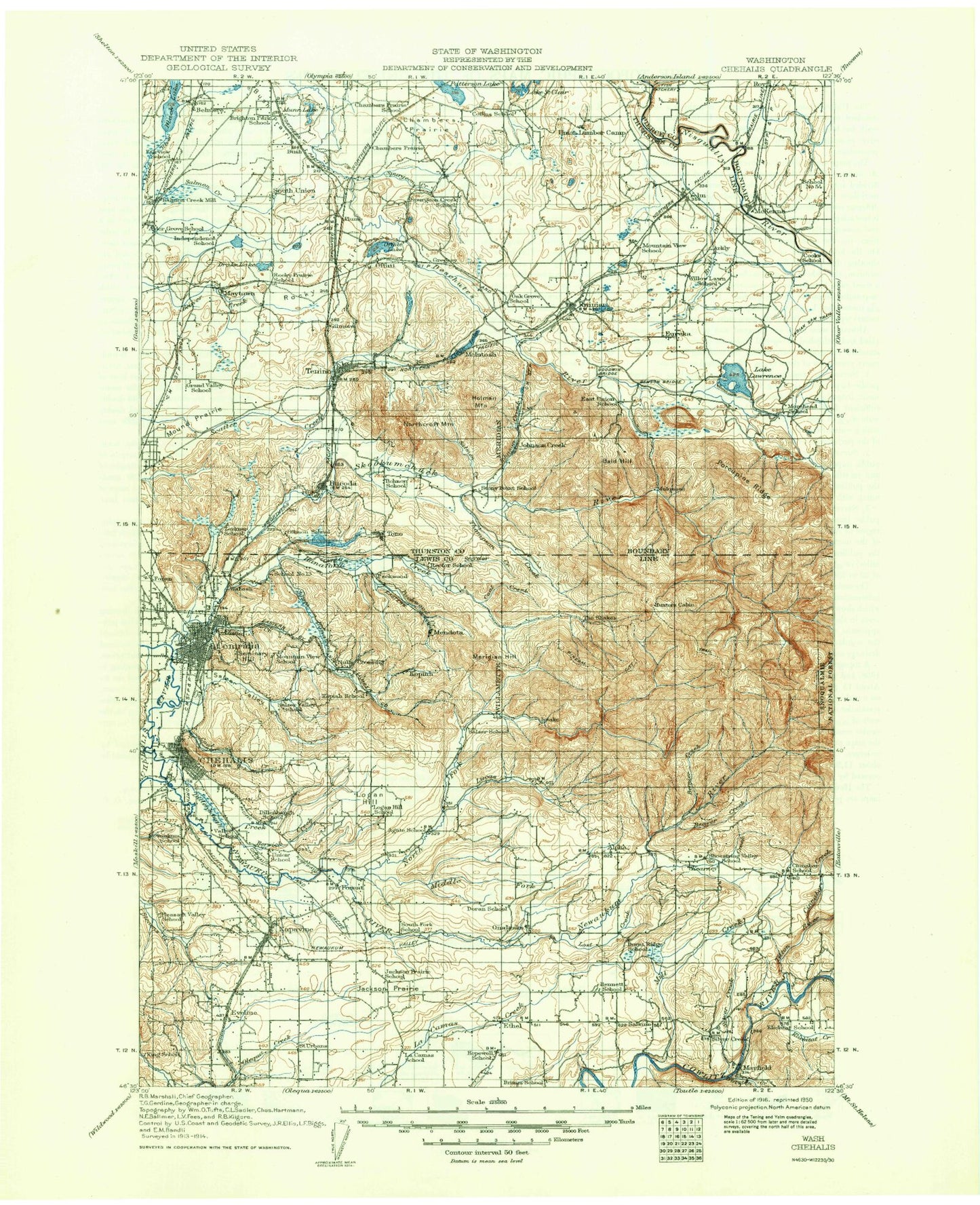
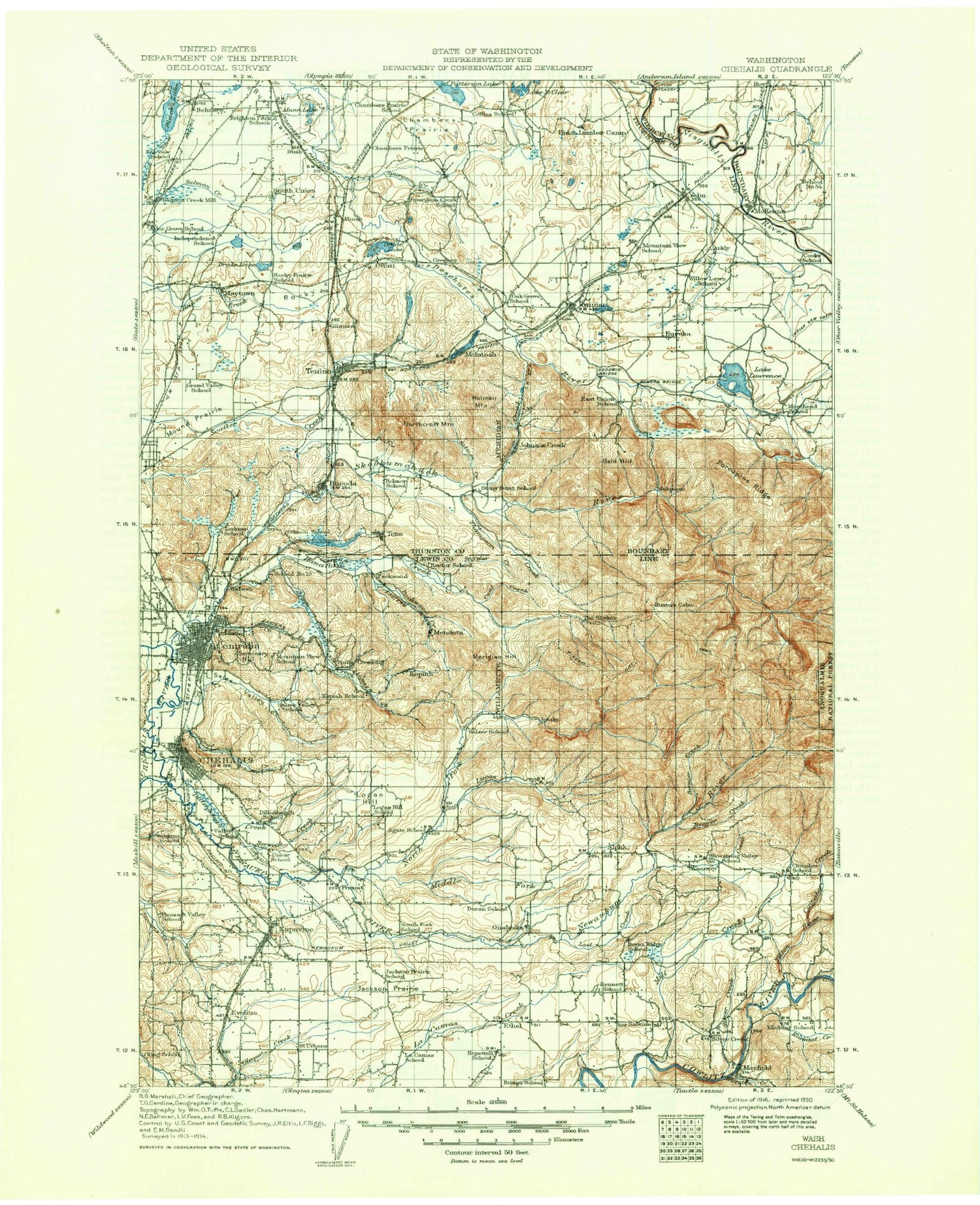
Historic 1916 Chehalis Washington 30'x30' Topo Map
Couldn't load pickup availability
Historical USGS topographic map of Chehalis in the state of Washington. Scale: 1:125000. Print size: 18" x 24"
This map was published in 1916 and is in the following counties: Lewis, Pierce, Thurston.
The map contains contour lines, roads, rivers, towns, streams, and lakes. Printed on high-quality waterproof paper with UV fade-resistant inks.
Contains the following named places: Baker Creek, Bear Creek, Berwick Creek, Black Lake, Black Prince Mine, Blumaer Hill, Burnham Ranch, Bush Prairie, Cat Lakes, Centralia, Chehalis, China Creek, Coal Creek, Coal Creek, Cozy Valley, Deep Lake, Denton Marsh, Dillenbaugh Creek, East Olympia, Eaton Creek, Fagan Lake, Fiander Lake, Fir Tree, Fords Prairie, Forest, Frost Prairie, Gehrke Lake, Goodwin Lake, Hanaford Valley, Inman Lake, Jackson Prairie, Lewis Lake, Majestic Mine, Matilda Jackson State Park, McClure Lake, McEnniery Lake, McIntosh Lake, McKenzie Lake, Mendota, Millersylvania State Park, Monarch Mine, Grand Mound Prairie, Mud Lake, Munn Lake, Napavine, Napavine Prairie, Newaukum Prairie, Newaukum River, North Hanaford Creek, Northcraft Mountain, Offutt Lake, Oregon Trail Monument, Packwood Creek, Pitman Lake, Rainier, Rock Prairie, Rocky Prairie, Salmon Creek, Salzer Creek, Salzer Valley, Scott Lake, Sheehan Lake, Silver Spring, Solberg Lake, South Hanaford Creek, Springer Lake, Spurgeon Creek, Stoker Mine, Sunnydale, Tenalquot Prairie, Thompson Creek, Trails End Lake, Trosper Lake, Violet Prairie, Waunch Prairie, West Fork Stearns Creek, Yelm Creek, Yelm Prairie, Zenkner Valley, Plumb, Chehalis Junction, Hanaford, Klaus, Scheuber Drainage Ditch, Wabash, Airport Lake, Seminary Hill Natural Area, Fort Borst Park, McFadden Park, Brick Wagner Park, John Dobson Park, Stan Hedwall Park, Pattison Lake, Belmore, Blakeslee Junction, Chain Hill, Evaline, Kopiah, Marys Corner, Newaukum, Nulls Crossing, Offutt Lake, Skookumchuck, South Union, Tono, Western Junction, Lewis and Clark State Park, Dempsey Creek, Fairway Shopping Center, Oxley, Crawford Mountain, Five Corners, Hammersmith Hill, Kellys Korner, Lemon Hill, Logan Hill, McKenna, Meridian Hill, Mock City, Newaukum Hill, Seminary Hill, Tenino, Yelm, Rainier Tower, Segale, Sunwood Lake, Tenino Junction, Allen Creek, Davis Hill, Foran, Guerrier, Jackson Court House State Park, Little Hanaford Valley, Four Corners, Chambers Prairie, Saint Urban, Susan Lake, Plummer Lake, Tempo Lake, Fort Borst Lake, Horseshoe Lake, Bucoda Volunteer Park, Ham Hill, Henderson Park, Noble Field, Alexander Park, Southwest Washington Fairgrounds, Riverside Golf Course, Recreation Park, Centralia Elks Golf Course, Riverside Park, Wabash Junction, Bush, McIntosh, Alpha, Alpha Prairie, Bald Hill, Baumgard Creek, Baumgard Hill, Beaver Creek, Bernier Creek, Bloody Run, Blue Ridge, Brights Creek, Centralia Canal, Cinebar, Cinnabar Creek, Clam Mountain, Coal Creek, Cole Creek, Eleven Creek, Ethel, Fall Creek, Fall Creek, Lake Fifteen, Frase Creek, Hanaford Creek, Hospital Creek, Hull Creek, Johnson Creek, Jonas Hill, Jones Creek, Kearney Creek, Klickitat Creek, Lacamas, Laramie Creek, Lake Lawrence, Lost Creek, Lucas Creek, Mayfield, Middle Fork Newaukum River, Mill Creek, Miller Hill, Mitchell Creek, Murray Creek, North Fork Newaukum River, Onalaska, Pheeny Creek, Pipeline Creek, Porcupine Ridge, Reichel Ranch, Reichel Lake, Roundtree Cabin, Run Creek, Ruth Prairie, Salkum, Shell Rock Ridge, Silver Creek, Silver Creek, Skookumchuck River, Smith Prairie, Snyder Creek, South Fork Newaukum River, Sundown Ranch, Thompson Creek, Three Deer Creek, Tilton River, Troller Run, Turvey Creek, Twelve Creek, Vail, Winston Creek, Yelm Ditch, Stowell Creek, Ike Kinswa State Park, Burnt Ridge, Shoestring Valley, Klickitat Prairie, Mayfield County Park, Thurston County, Skookumchuck Reservoir, Houser Creek, Mayfield Dam, Ike Kinswa Campground, Phillips, Porcupine Lookout


