MyTopo
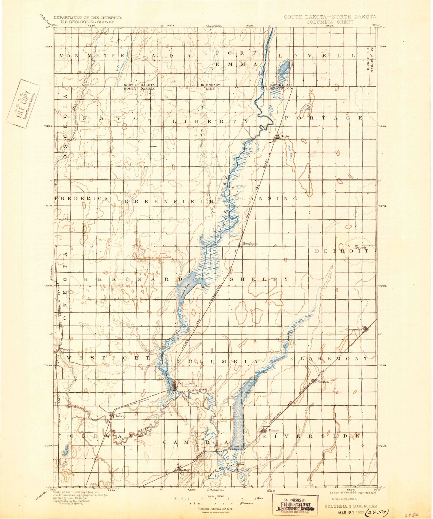
Historic 1896 Columbia South Dakota 30'x30' Topo Map
Couldn't load pickup availability
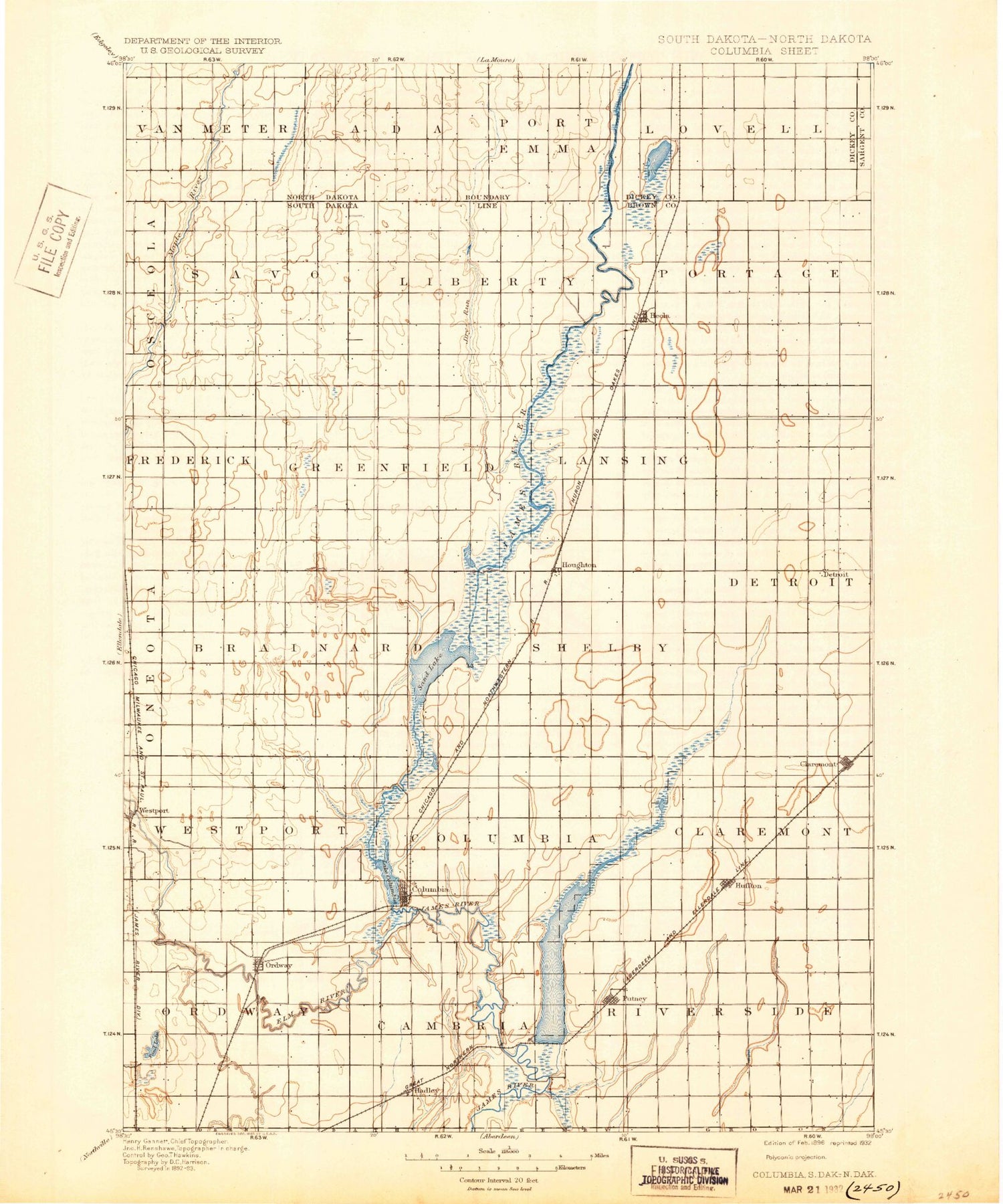
Historical USGS topographic map of Columbiain the states of South Dakota, North Dakota. Scale: 1:125000. Print size: 17" x 24"
This map was published in 1896 and is in the following counties: Brown, Dickey, Sargent.
The map contains contour lines, roads, rivers, towns, streams, and lakes. Printed on high-quality waterproof paper with UV fade-resistant inks.
Contains the following named places: Dry Run, Hyatt Slough Dam, Aberdeen Filtration Plant, Alkali Lake, Barnard, Claremont, Columbia Road Dam, Crow Creek Drainage Ditch, Daly Corners, Dry Run, Elm River, Engle Dam, Hecla, Houghton, Houghton Dam, Houghton Dam, Huffton, Mud Lake Reservoir, Portage Detroit Ditch, Putney, Putney Slough, Putney Slough, Sand Lake National Wildlife Refuge, Westport, Tacoma Park Dam, Ordway, Deevaan Villa Development, Prairie Wood Village Addition, Columbia, Columbia Road Reservoir, Plana, Tacoma Park, Brown County, Town of Claremont, City of Columbia, City of Hecla, Town of Westport, Township of Richland, Township of Claremont, Township of Columbia, Township of Lansing, Township of Brainard, Township of Liberty, Township of Savo, Township of Hecla, Township of Sand Lake, Township of Ordway, Township of Cambria, Township of Shelby, Township of Greenfield, Township of Riverside, Township of Putney, Township of Portage, Township of North Detroit, Township of South Detroit, Township of Garland, Township of Prairiewood, Brown County Waterfowl Production Area, Prairiewood Village, Cannon Hill, Dry Run, Hyatt Slough, Dakota Lake Dam, Hyatt Slough Dam, Dakota Lake, Township of Eaton, Township of Lovell, Township of Port Emma, Township of Ada, Township of Van Meter, Dry Run, Elm River, Brown County Waterfowl Production Area


