MyTopo
Historic 1891 Cumberland Gap Kentucky 30'x30' Topo Map
Couldn't load pickup availability
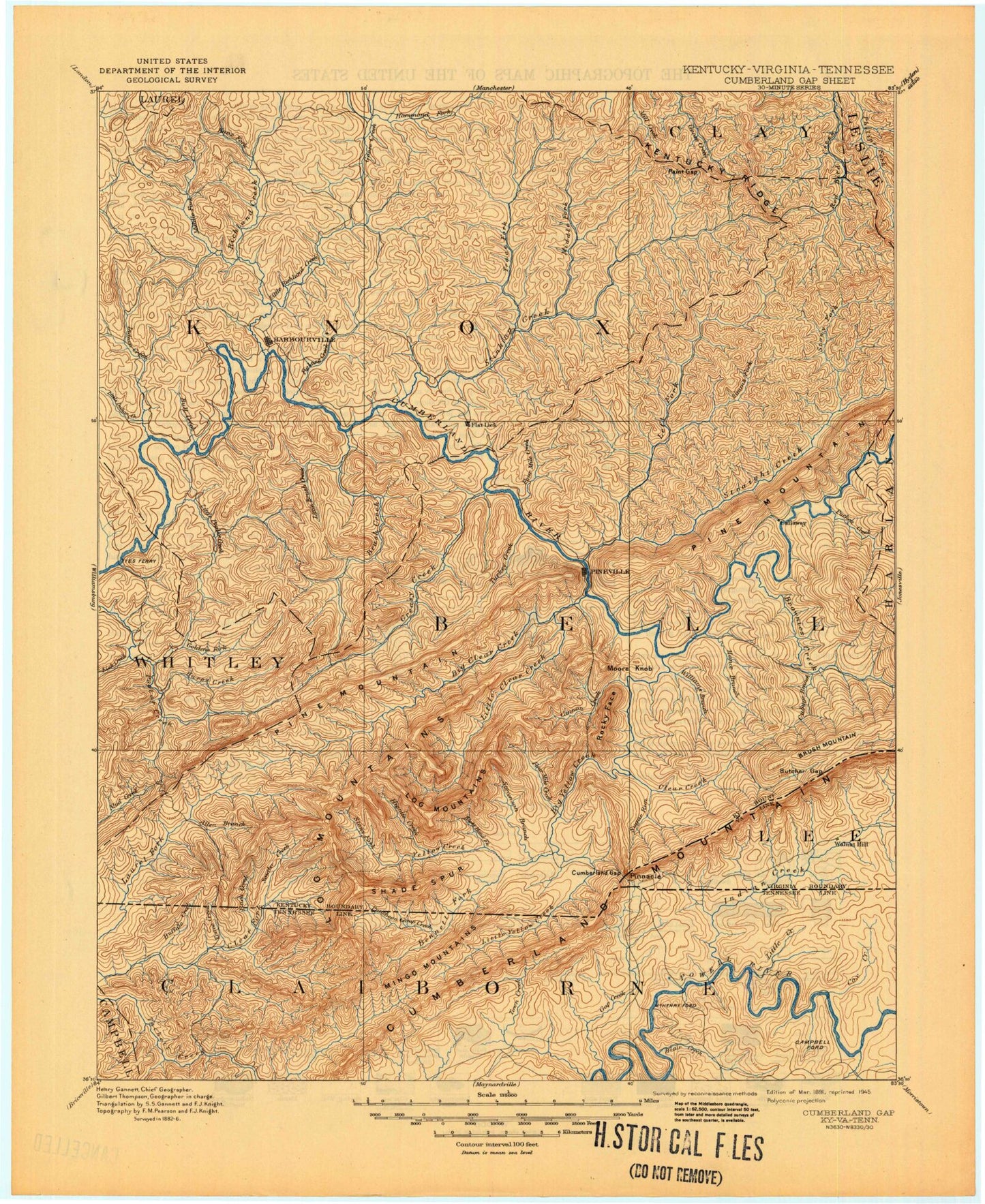
Historical USGS topographic map of Cumberland Gap in the state of Kentucky. Scale: 1:125000. Print size: 18" x 24"
This map was published in 1891 and is in the following counties: Bell, Campbell, Claiborne, Clay, Harlan, Knox, Laurel, Lee, Leslie, Whitley.
The map contains contour lines, roads, rivers, towns, streams, and lakes. Printed on high-quality waterproof paper with UV fade-resistant inks.
Contains the following named places: Apple Blossom Branch, Arjay, Asher Branch, Asher Branch, Bailey Branch, Bailey Branch, Bailey Gap, Bailey Hill, Baileys Switch, Bain Branch, Barbourville, Barley Hollow, Bartleys Lake, Basin Gap, Baughman, Beans Fork, Beans Spur, Bear Creek, Bear Wallow Gap, Bear Wallow Mountain, Becky Branch, Bee Branch, Bell Jellico Branch, Ben Howard Branch, Bennett Branch, Bennett Branch, Bennett Branch, Bennett Gap, Bennetts Fork, Bens Fork, Betsie Branch, Betsie Gap, Big Eb Hollow, Big Hollow, Big Indian Creek, Big Rock, Bills Branch, Bimble, Bingham Gap, Binghamtown, Bird Branch, Black Lick Branch, Black Snake, Blacklick Branch, Blackmont, Blacksnake Branch, Blacksnake Branch, Blanton Branch, Blind John Taylor Gap, Blue Hole Branch, Blue Hollow, Board Tree Hollow, Bob Bray Mountain, Bobs Hollow, Booger Hollow, Boone Heights, Bratcher Branch, Brooks Branch, Brown Hollow, Browne Branch, Brownies Creek, Brush Creek, Brush Creek Gap, Brush Mountain, Brushy Mountain, Bryants Store, Back Creek, Buckeye Branch, Buckeye Hollow, Buffalo Creek, Buffalo Gap, Bull Branch, Bull Run, Bullins Branch, Bunchs Branch, Bunker Branch, Burst Branch, Burton Branch, Butchers Gap, Cabin Hollow, California Hollow, Callaway, Callaway Gap, Callebs Creek, Calvin, Camp Branch, Camp Ritter, Campbell Branch, Campbell Branch, Canada Mountain, Caney Creek, Caney Creek, Cannel Coal Hollow, Cannon Creek, Cannon Creek Lake, Cannon Lake, Capito, Carnes Branch, Carpenter Hollow, Carter Branch, Carter Branch, Carter Branch, Carter Gap, Catron Branch, Cemetery Hollow, Centers Branch, Chadwell Gap, Chain Rock, Charlie Branch, Chenoa Lake, Chestnut Branch, Chestnut Flats, Chestnut Flats, Clear Creek, Clear Creek Springs, Clear Fork, Clinch Knob, Coal Creek, Coal Stone Branch, Coalstone Branch, Cole Ridge, Cole Spur, Collins Branch, Cooley Branch, Cooley Gap, Coon Branch, Country Club Branch, Cowans Branch, Cox Hollow, Cranes Creek, Crook Branch, Crooked Branch, Cubage, Cubage Creek, Cumberland Gap, Cumberland Gap National Historical Park, Cumberland Mountain, Cy Hoskins Branch, Dancey Branch, Dark Ridge, Davis Branch, Davis Branch, Dead Horse Hollow, Deer Branch, Demps Hollow, Devils Garden, Devils Garden Branch, Dewing Gap, Dink Ridge, Doolin Branch, Dorton Branch, Dorton Branch, Dozier Branch, Dozier Fork, Dry Branch, Dry Fork, Dunlap Hollow, Dunns Camp Hollow, Dyer Hollow, East Jellico Branch, East Pineville, East Ridge Branch, Elam Branch, Elk Branch, Elliott Branch, Elliott Branch, Elys Branch, Engle Hollow, Evans Branch, Fern Lake, Ferndale, Fighting Creek, Flag Ridge, Flag Top, Flat Branch, Flat Creek, Flat Lick, Foley Hollow, Fonde, Fork Ridge, Fork Ridge, Fortner Branch, Fortney Branch, Fount, Fourmile, Fourmile Branch, Fourmile Creek, Fourmile Run, Frisby Branch, Furnace Branch, Fuson Branch, Fuson Branch, Fuson Gap, Gabe Branch, Gambrel Hollow, Gamphor Branch, Garden Hollow, George Hale Branch, Gibson Branch, Gibson Branch, Gibsons Gap, Gillam Hill, Gillam Knob, Girdler, Goldens Creek, Goldens Mountain, Goodin Branch, Goodin Branch, Goodin Branch, Goodin Creek, Gozey Hollow, Gravy Branch, Greasy Creek, Green Branch, Green Howard Branch, Green Road, Greenbriar Branch, Gregory Branch, Grubb Branch, Hale Branch, Hammans Branch, Hammons Gap, Hampton Ridge, Hances Creek, Hances Ridge, Hanner Gap, Hanson Branch, Happy Hollow, Happy Hollow, Hardy Branch, Harpes Creek, Hatfield Gap, Hawn Branch, Hawn Gap, Head Branch, Heidrick