MyTopo
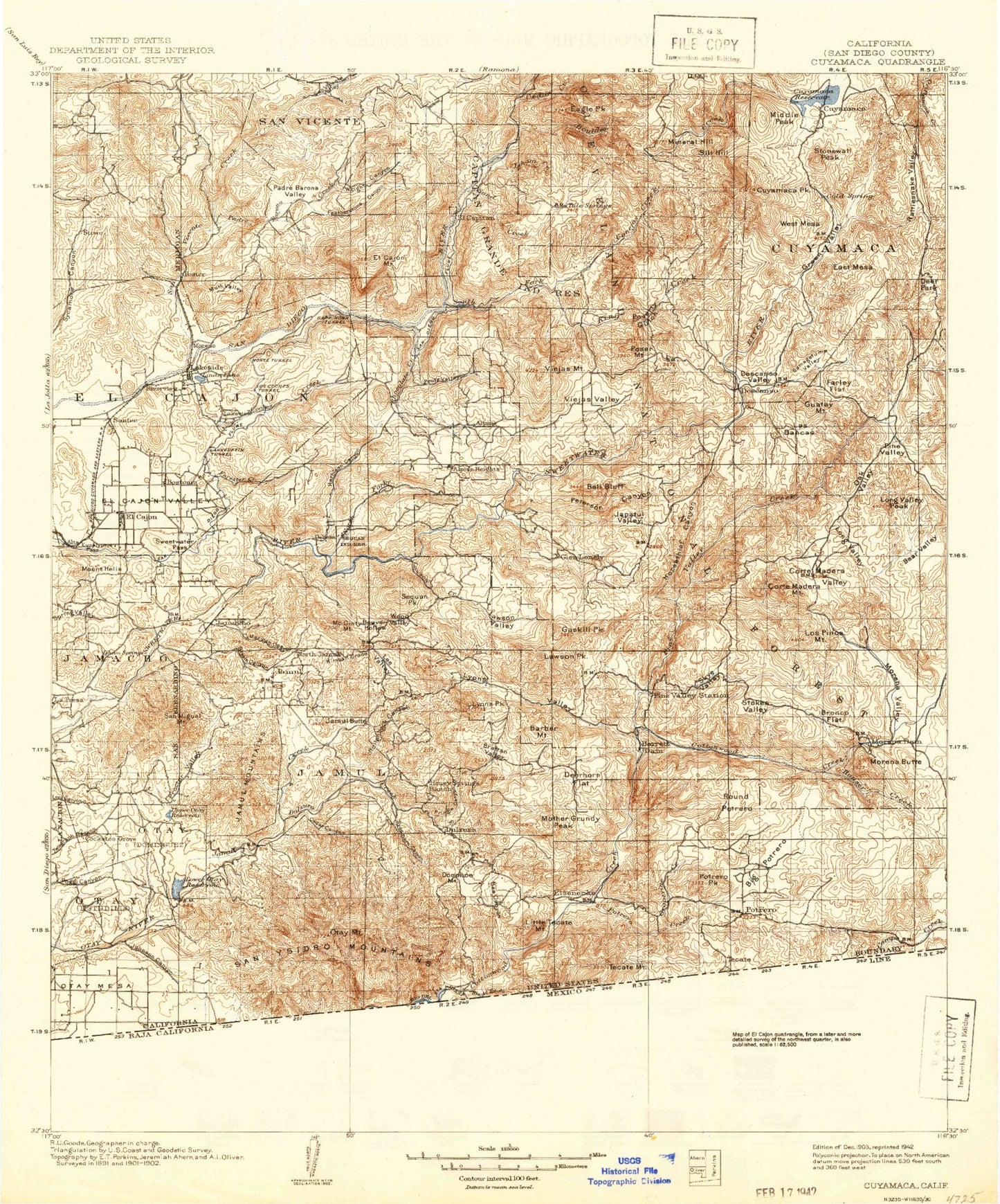
Historic 1903 Cuyamaca California 30'x30' Topo Map
Couldn't load pickup availability
Historical USGS topographic map of Cuyamaca in the state of California. Scale: 1:125000. Print size: 17" x 24"
This map was published in 1903 and is in the following counties: San Diego.
The map contains contour lines, roads, rivers, towns, streams, and lakes. Printed on high-quality waterproof paper with UV fade-resistant inks.
Contains the following named places: Otay, Otay, Barona Valley, Bear Valley, Bee Canyon, Bell Bluff, Bell Valley, Bird Ranch, Boulder Creek, Burney Ranch, Buschalaugh Cove, Canada De Los Coches, Capitan Grande Reservation, Carveacre Ranch, Cedar Creek, Cedar Creek Falls, Chet Harritt Dam, Chiquito Peak, Clark Canyon, Conejos Valley, Coon Canyon, Coronado Wye, Corral Canyon Fire Station, Corte Madera Mountain, Corte Madera Trail, Corte Madera Valley, Daney Canyon, Descanso, Descanso Campground, Descanso Valley, Dictionary Hill, Division, Donohoe Mine, Dulzura Community Cemetery, Dulzura Summit, Eagle Peak, Echo Dell Ranch, Echo Valley, El Cajon Valley, Farley Flat, Fenton Ranch, Fernbrook, Fletcher Hills, Foster Canyon, Foster Truck Trail, Glen Lonely, Glenview, Goat Peak, Goat Ranch, Gobblers Knob, Goodan Ranch, Grapevine Creek, Grassmont Reservoir, Guatay Campground, Guatay Mountain, Gum Tree Cove, Helix Cross, Mount Helix, Hidden Glen, Horseshoe Bend, Horsethief Canyon, Horsethief Ridge, Horsethief Ridge Trail, Iron Mountain, Ivanhoe Ranch, Jamacha Junction, Jamacha Valley, Jamacho, Jamul Valley, Japatul Valley, Lake Jennings, John F Kennedy Park, Johnson Canyon, Johnson Creek, Kelly Creek, Kimball Valley, King Creek, Kuebler Ranch, La Presa, Lake Jennings Park, Las Bancas, Lindo Lake Park, Little Tecate Peak, Long Valley, Long Valley Peak, Longs Gulch, Los Terrenitos, Lower Otay Camping Area, Lower Otay Lake, Lyster Ranch, Maniscalcos Cactus Farm, Marron Valley, Marston Meadow, Middle Mountain, Mine Canyon, Mineral Hill, Minnewawa Truck Trail, Monte Vista Ranch, Moreno Valley, Mother Miguel Mountain, Mount Helix Reservoir, Muth Valley, Neal Cove, Nelson Canyon, O'Neal Canyon, Oak Valley, Oak Valley Creek, Old Stage Route, Otay, Otay Mountain, Otay Mountain Truck Trail, Otay Ranch, Padre Barona Creek, Peterson Canyon, Pine Creek Bible Conference Ground, Pine Creek Campground, Pine Valley, Poser Mountain, Pothole Canyon, Potrero, Potrero Peak, Poverty Gulch, Proctor Valley, Rancho del Otay, Rancho Alegria, Red Cross Park, Renette Park, River Botton Reservoir, Rock Mountain, Round Potrero Ranch, Salt Creek, Samagatuma Valley, San Vicente Reservoir, Savage Dam, Secret Canyon, Sheep Camp Creek, Sherilton Valley Ranch, Slaughterhouse Canyon, Suncrest Truck Trail, Sunshine Mountain, Sweetwater Falls Dam, Taylor Creek, Tecate Creek, Upper Otay Lake, Vallecitos, Viejas Honor Camp, Viejas Reservation, Viejas Mountain, Viejas Valley, Wells Park, West Branch San Vicente Creek, West Fork King Creek, Wild Mans Canyon, Wild Pigeon Flat, Wildcat Canyon, Wildwood Ranch, Willow Tree Dam, Wolf Canyon, Silverdome, Sycuan Creek, Boulder Oaks, Doghouse Junction, Foster, Pine Grove, Devils Punchbowl, Potrero Creek, San Miguel Mountain, Tecate Peak, Big Potrero, Jamacha, Kearchoffer Flat, Flinn Springs, Cleveland National Forest, Barona Reservation, California Riding and Hiking Trail, Airplane Ridge, Alpine Creek, Alpine Heights, Anderson Truck Trail, Anderson Valley, Arrowmakers Ridge, Arroyo Seco, Azalea Creek, Barber Mountain, Barona Indian Reservation, Barrett Dam, Barrett Honor Camp, Barrett Lake, Beaver Hollow, Bee Valley, Bob Owens Canyon, Boneyard Canyon, Bratton Ranch, Bratton Valley, Bronco Flats, Camp Cuyamaca, Camp Hual-Cu-Cuish, Camp Tapawingo, Camp Wolahi, Campo Creek, Canada De San Vicente Y Mesa Del Padre Barona, Cedar Canyon, Cherry Flat, Chocolate Canyon, Cold Stream, Cold Stream Trail, Conejos Creek, Cornelius Ranch, Cornelius Ranch Truck Trail, Corral Canyon, Cottonwood Valley, Cuyamaca Dam, Cuyamaca Peak, Cuyamaca, Cuyamaca Lodge, Cuyamaca Mountains, Lake Cuyamaca, Cuyamaca Rancho State Park, Cuyamaca State Park Headquarters, Daly Creek, Daly Mine, Deer Park, Deerhorn Valley, Dehesa Valley, Descanso Creek, Dry Valley, Dulzura, Dulzura Creek, Dutchman Canyon, East Mesa, Echo Mountain, Eichenlaub Ranch, El Cajon, El Cajon Mountain, El Cajon Mountain Truck Trail, El Capitan Dam


