MyTopo
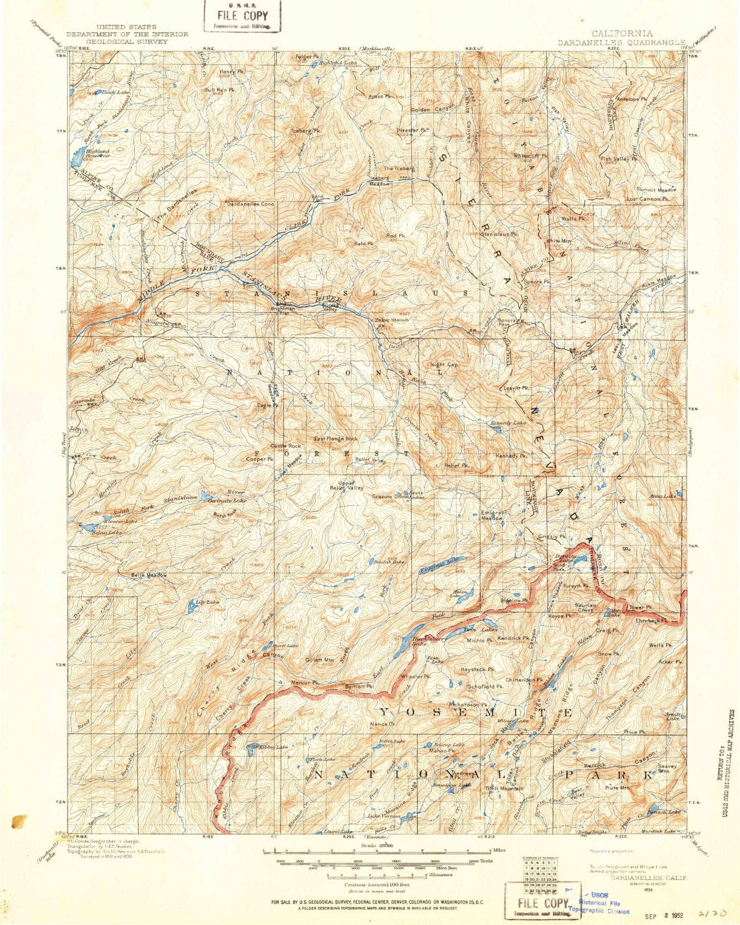
Historic 1896 Dardanelles California 30'x30' Topo Map
Couldn't load pickup availability
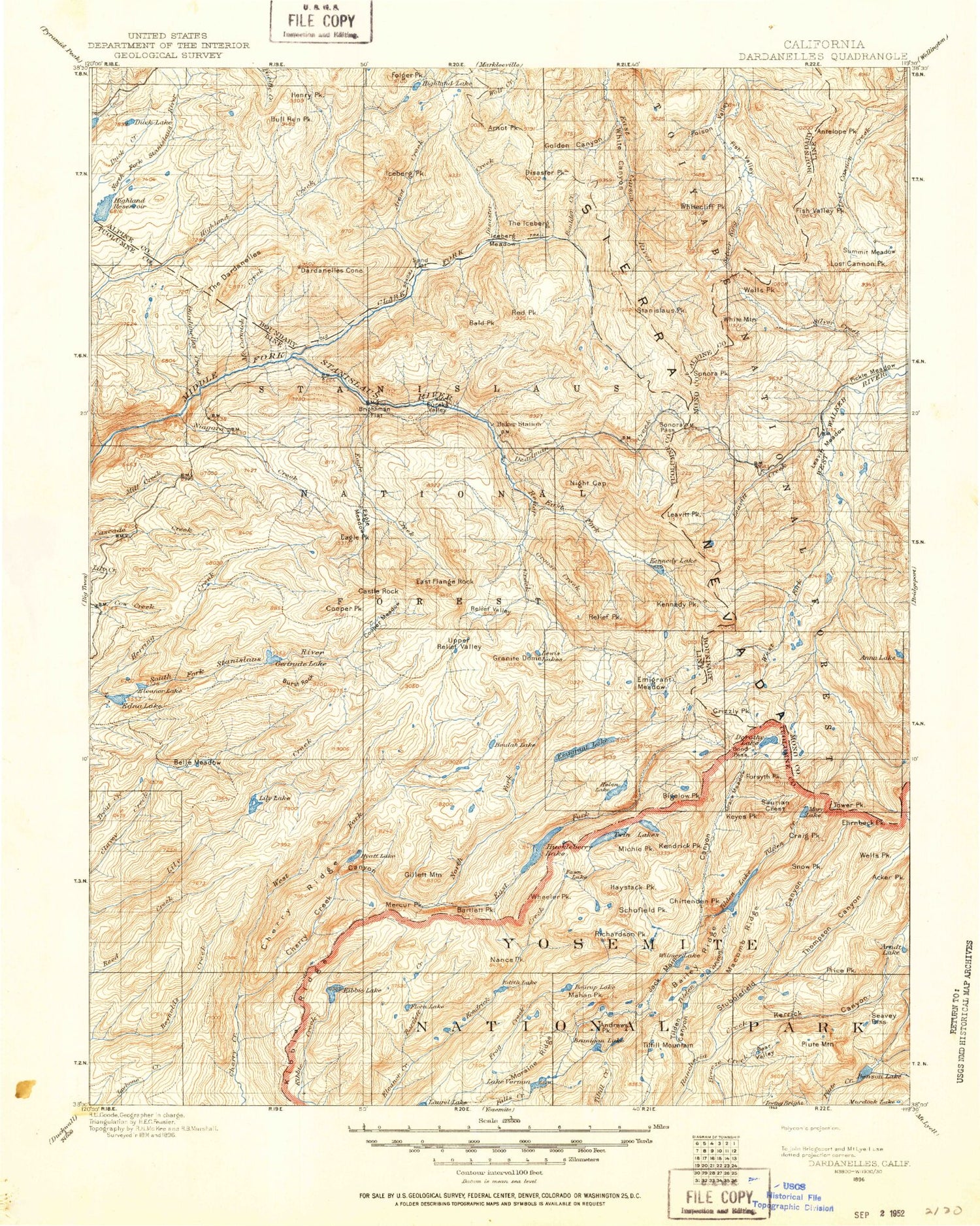
Historical USGS topographic map of Dardanelles in the state of California. Scale: 1:125000. Print size: 17" x 24"
This map was published in 1896 and is in the following counties: Alpine, Mono, Tuolumne.
The map contains contour lines, roads, rivers, towns, streams, and lakes. Printed on high-quality waterproof paper with UV fade-resistant inks.
Contains the following named places: Lake Alpine, Andrews Lake, Anna Lake, Antelope Peak, Ardeth Lake, Aspen Meadow, Avonelle Lake, Backpackers Campground, Baker Campground, Baker Station, Bald Peak, Barn Meadow, Beartrap Lake, Bee Gulch, Bell Mountain, Bennett Juniper, Bloomer Lake, Blue Canyon, Bluff Meadow, Bonnie Lake, Boulder Creek, Boulder Flat, Boulder Peak, Branigan Lake, Brightman Flat, Bull Canyon, Bull Run Creek, Bull Run Lake, Bull Run Peak, Chango Lake, Chipmunk Flat, Clark Fork Meadow, Clear Lake, Coffin Hollow, Columns of the Giants, Connells Cow Camp, Corral Valley, Corral Valley Creek, Coyote Valley, Crabtree Campsite, Dardanelles Cone, Deadman Creek, Deadman Lake, Disaster Peak, Dodge Meadow, Dodge Ridge, Dorothy Lake Pass, Douglas Creek, Duck Lake, Eagle Creek, Eagle Meadow, Eagle Peak, Elephant Rock, Elephant Rock Lake, Eureka Valley, Fish Valley Peak, Fly Valley, Forsyth Peak, Four Mile Canyon, Gabbott Meadow, Golden Canyon, Gooseberry Creek, Grace Meadow, Groundhog Meadow, Half Moon Lake, Haypress Lake, Haypress Meadow, Haystack Peak, Heiser Lake, Henry Peak, Highland Lakes, Highland Lakes Campground, Hiram Canyon, Hiram Meadow, Hiram Peak, Hobart Creek, Iceberg Meadow, Iceberg Peak, Kendrick Peak, Kennedy Lake, Kennedy Meadow, Kirkwood Creek, Kirkwood Lake, Koenig Lake, Latopie Lake, Leland Reservoir, Liahona Camp, Lily Lake, Little Otter Lake, Little Teton Creek, Llewellyn Falls, Long Canyon, Long Valley, Long Valley, Long Valley Creek, Lost Cannon Peak, Lost Lake, Lower Fish Valley, Lower Gardner Meadow, Lower Long Lake, Macomb Ridge, Mahan Lake, Marshall Canyon, Martins Cow Camp, McCormick Pocket, Meadows, Michie Peak, Middle Branigan Lake, Miwok Lake, Mud Lake, Murray Canyon, Otter Lake, Peep Sight Peak, Peninsula Lake, Pidgeon Flat, Pine Marten Campground, Pine Valley, Pinecrest Peak, Pinto Lakes, Piute Cabin, Piute Lake, Piute Meadow, Piute Pass, Poison Lake, Powell Lake, Red Can Lake, Red Peak, Red Rock Meadow, Relief Reservoir, Rock Lake, Rosasco Lake, Lake Ruth, Saint Marys Pass, Salt Lick Meadow, Sand Flat, Sand Flat Campground, Sardine Meadow, Sheering Creek, Silver Creek Meadows, Silver Mine Creek, Silver Valley Campground, Middle Fork Stanislaus River, Punch Bowl, Snow Lake, Soda Canyon, Sonora Peak, Spicer Meadow Reservoir, Stanislaus Peak, Starvation Lake, Stella Lake, Studhorse Meadow, Summit Creek, Summit Lake, Summit Meadow, Summit Meadow, Sword Lake, Tamarack Creek, The Iceberg, Toejam Lake, Toms Canyon, Tower Canyon, Tower Lake, Twin Meadows, Twin Meadows Lake, Upper Branigan Lake, Upper Fish Valley, Upper Gardner Meadow, Upper Long Lake, Upper Peninsula Lake, Upper Piute Meadows, Upper Relief Valley, Walker Meadows, Waterhouse Lake, Weiser Creek, White Canyon, White Mountain, Whitesides Meadow, Wilderness Creek, Wire Lakes, Wolf Creek Pass, Woods Gulch, Y Meadow Dam, Gully Meadow, Molo Mountain, Olive Lake, Tower Peak, Bear Lake, Hawksbeak Peak, Middle Three Meadow, Castle Meadow, Coyote Lake, Five Acre Lake, Kole Lake, Lord Meadow, Styx Pass, Cascade Falls, Lower Piute Meadows, Sheep Camp, Lightning Mountian, Big Island Lake, Cascade Creek, Chain of Lakes, Cinko Lake, Cora Lake, Fawn Lake, Flora Lake, Grizzly Lake, Grizzly Peak, Grouse Creek, Lake Harriet, Lake Helen, Kennedy Creek, Mary Lake, Montezuma Mine, Pingree Lake, Piute Creek, Spring Meadow, Lake Vernon, Wood Lake, Acker Peak, Disaster Creek, Dorothy Lake, Edith Lake, Ehrnbeck Peak, Paradise Valley, Pinecrest Lake, Piute Mountain, Price Peak, Schofield Peak, Seavey Pass, Slaughter Canyon, Snow Peak, Andrews Peak, Arndt Lake, Bear Valley, Bearup Lake


