MyTopo
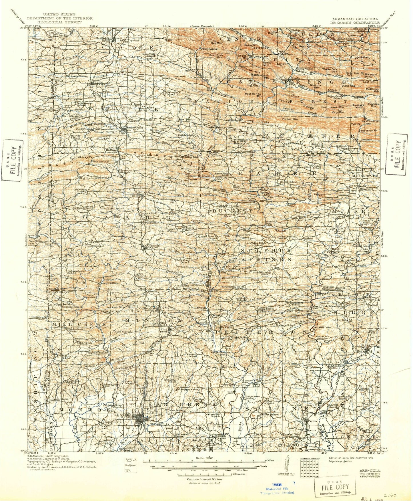
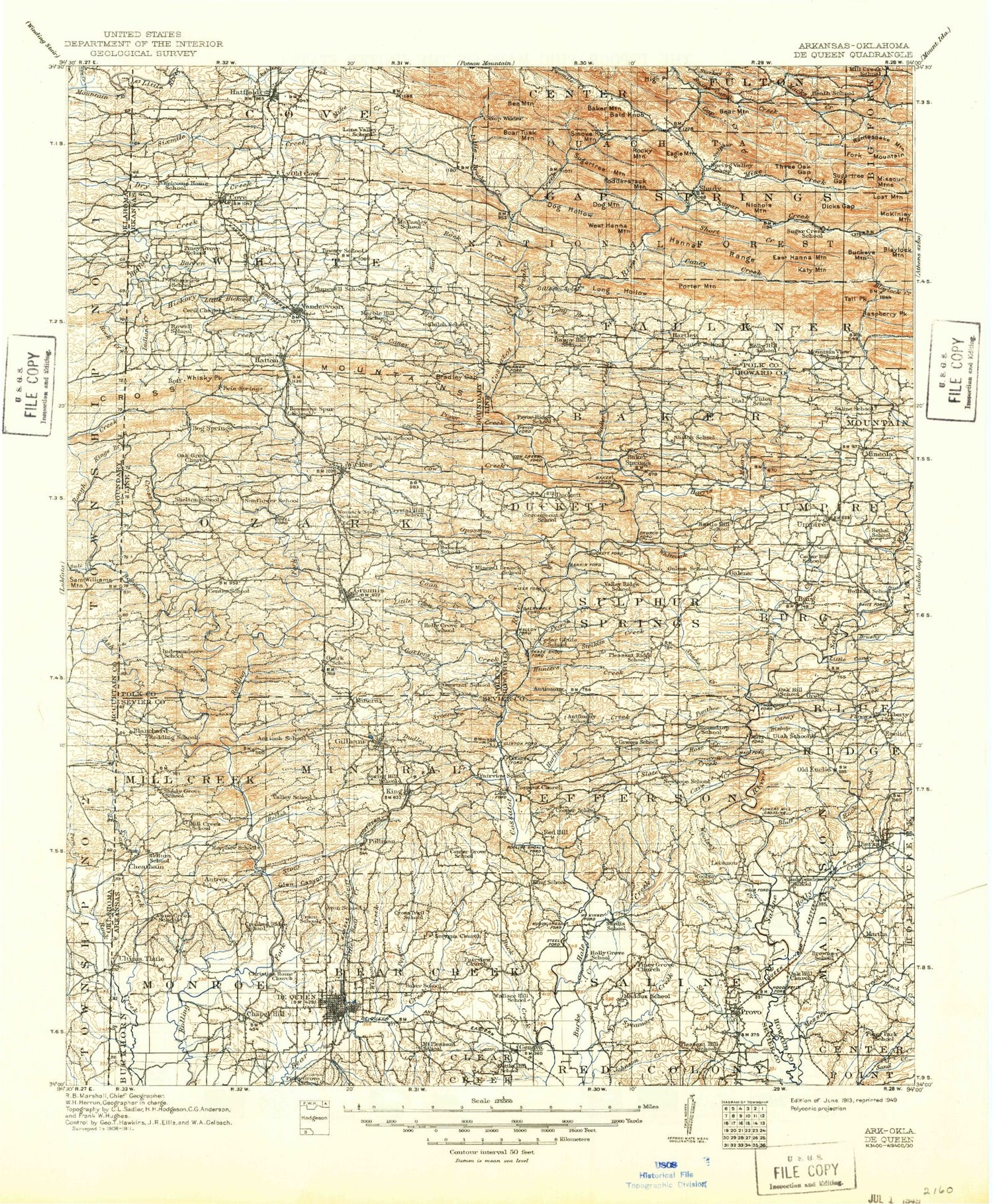
Historic 1913 De Queen Arkansas 30'x30' Topo Map
Couldn't load pickup availability
Historical USGS topographic map of De Queenin the states of Arkansas, Oklahoma. Scale: 1:125000. Print size: 18" x 24"
This map was published in 1913 and is in the following counties: Howard, McCurtain, Polk, Sevier.
The map contains contour lines, roads, rivers, towns, streams, and lakes. Printed on high-quality waterproof paper with UV fade-resistant inks.
Contains the following named places: Allen Branch, Almond Creek, Arkwild Camp, Beech Creek, Bellah Creek, Bishop Creek, Bluff Creek, Bradley Gap, Buck Creek, Burke Creek, Cane Creek, Caney Creek, Caney Creek, Caney Creek, Carters Creek, Cave Creek, Cedar Branch, Coon Creek, Cross Creek, Cross Mountains, Flowers Spring Creek, French Creek, Glen Canyon, Hale Creek, Hickory Creek, Holly Creek, Hose Creek, Hurricane Creek, Indian Creek, Johnson Creek, Kings Branch, Lee Creek, Little Bear Creek, Little Caney Creek, Little Coon Creek, Little Holly Creek, Long Hollow Creek, Mill Creek, Mound Slough, Mud Creek, Panther Creek, Pepper Creek, Price Creek, Rock Creek, Rough Creek, Shepherd Creek, Slate Creek, Snake Creek, Story Creek, Sycamore Creek, Twomile Creek, West Creek, West Line, Whiskey Peak, Wilson Creek, Woolsey Creek, Davis Ford, Kellum, Atwood, Cove, Euclid, Hatton, Process City, Pullman, Red Wing, Union, Blue Ridge Use Area, Duck Pond, Duckett, Faulkner Springs, Horseshoe Bend Use Area, Howard County State Wildlife Management Area, Mount Carmel, Bethel Chapel, Holly Creek, Holly Grove, Lone Valley, McCauley, Pleasant Hill, Shady Lake Recreation Area, Caney Creek State Wildlife Management Area, Township of Blue Ridge, Township of Burg, Township of Duckett, Township of Madison, Township of Umpire, De Queen, Fairview, Town North Shopping Center, Township of Cove, Township of Gap Springs, Township of White, Township of Bear Creek, Township of Jefferson, Township of Mill Creek, Township of Mineral, Township of Monroe, Township of Red Colony, Township of Saline, Polk County, Amos Branch, Baker Mountain, Bald Knob, Bear Mountain, Bee Mountain, Bethel Branch, Blaylock Mountain, Boar Tusk Mountain, Brushy Creek, Brushy Creek, Buckeye Mountain, Camp Creek, Camp Creek, Caney Creek, Cow Creek, Devils Hollow, Dicks Gap, Dog Hollow, Dog Mountain, Duckett Ford, Eagle Mountain, East Hanna Mountain, East Saline Creek, Faulkner Branch, Flat Creek, Fodderstack Mountain, Fork Mountain, Galena, Gap Creek, Hanna Range, Harris Creek, Hartley, High Point, Holly Branch, Katy Mountain, Little Brushy Creek, Little Hickory Creek, Long Branch, Long Hollow, Lost Mountain, McKinley Mountain, Mike Creek, Millseat Branch, Mine Creek, Mineola, Moore Creek, Nichols Mountain, North Fork Saline River, Opossum Creek, Porter Mountain, Pryor Creek, Rattlesnake Mountain, Rock Creek, Rocky Mountain, Shady, Short Creek, Smoke Rock Creek, Smoke Rock Mountain, South Fork Saline River, Sugar Creek, Sugartree Gap, Sugartree Mountain, Sulphur Creek, Tall Peak, Three Oak Gap, Tobe Branch, West Hanna Mountain, White Oak Creek, Wolf Pen Gap, Bard Springs Recreation Area, Caney Creek Wilderness, De Queen Dam, De Queen Lake, Gillham Dam, Gillham Lake, Johnson Lake, Avon, Baker Creek, Baker Springs, Barren Creek, Bethany, Bog Springs, Burg, Chapel Hill, Cheatham, Dierks, Geneva, Gillham, Grannis, Hatfield, Hunters Creek, Shady Lake, King, Lebanon, Mineral, Oak Grove, Old Cove, Provo, Raspberry Mountain, Robinson Creek, Striklin Creek, Umpire, Vandervoort, Wickes, Shady Lake Dam, Shady Lake, Process City Lake Dam, Process City Lake, Gillham Lake Dam, Gillham Lake, Brewer Lake Dam, Brewer Lake, Land Processing Lake Dam, Aeration Lake, Jenkins Lake Dam, Jenkins Lake, Dierks Dam, Ash Creek, Rock Creek, City of Grannis, City of De Queen, City of Dierks, Town of Cove, Town of Gillham, Town of Hatfield, Town of Vandervoort, Town of Wickes, Cossatot Wild and Scenic River, Cane Creek, Cedar Branch, Kings Branch, Rough Creek, Twomile Creek, Township of Mill Creek, Robinson Creek, Ash Creek


