MyTopo
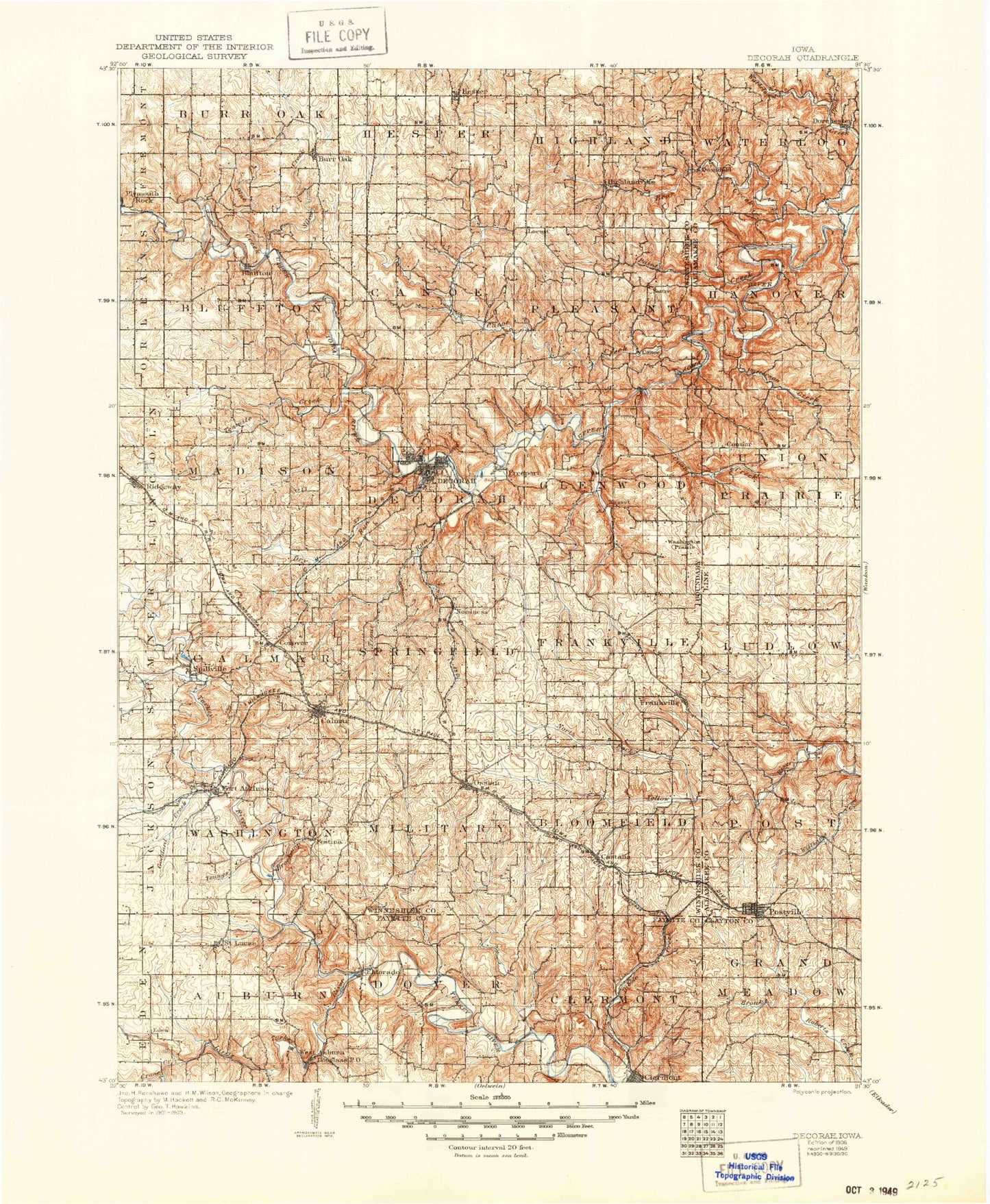
Historic 1906 Decorah Iowa 30'x30' Topo Map
Couldn't load pickup availability
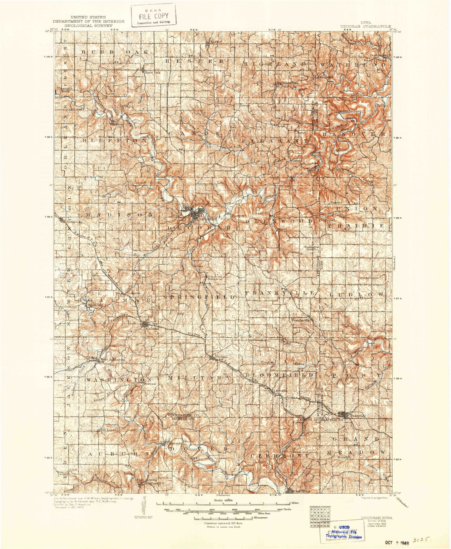
Historical USGS topographic map of Decorahin the states of Iowa, Minnesota. Scale: 1:125000. Print size: 18" x 24"
This map was published in 1906 and is in the following counties: Allamakee, Clayton, Fayette, Winneshiek.
The map contains contour lines, roads, rivers, towns, streams, and lakes. Printed on high-quality waterproof paper with UV fade-resistant inks.
Contains the following named places: Bear Creek, Bear Creek Public Access, Bluffton, Bluffton Fir Stand State Preserve, Bohemian Creek, Burr Oak Creek, Burr Oak, Calmar, Camp Tahigwa, Canoe Creek, Castalia, Clermont, Cold Water Creek, Conover, Coon Creek, Crane Creek, Decorah, Dorchester, Dry Branch, Dry Run, Duck Creek, East Pine Creek, Eldorado, Falcon Springs State Wildlife Area, Festina, Fitzgerald Creek, Fort Atkinson, Fort Atkinson State Preserve, Frankville, Freeport, Hesper, Highlandville, Krumm Creek, Little Turkey River, Locust School, Lake Meyer, Mineral Creek, Montauk State Historical Site, North Bear Creek, North Canoe Creek, North Fork Yellow River, Nutting Creek, Ossian, Paint Creek, Patterson Creek, Pine Creek, Postville, Quandahl, Quinn Creek, Ridgeway, Rogers Creek, Saint Lucas, Siewers Spring State Park, Silver Creek, Silver Creek, South Bear Creek, Spillville, Ten Mile Creek, Trout Creek, Trout Creek, Trout River, Trout Run, Turner Creek, Walden Pond, Walnut Creek, Waterloo Creek, West Branch Roberts Creek, Wonder Creek, Lake Meyer, Lake Meyer Dam, Douglass, Twin Springs Park, Winneshiek County Fairground, Goeken County Park, Brockamp Creek, Lake Meyer County Park, South Bear Park, Gouldsburg County Park, Plymouth Rock, West Auburn, Massillon, Springfield, Thoten, Washington Prairie, Moneek, Ridley, Cold Water Springs State Wildlife Area, Hanover, Locust, Ludlow, Nordness, Sattre, Winneshiek County, Twin Springs, Bass Creek, South Wonder Creek, Upper Branch Yellow Creek, Springwater, Nasset, Fort Atkinson City Park, Douglass, Cleyeland, Bergen, Township of Auburn, Township of Bloomfield, Township of Bluffton, Township of Burr Oak, Township of Calmar, Township of Canoe, Township of Clermont, Township of Decorah, Township of Dover, Township of Frankville, Township of Glenwood, Township of Grand Meadow, Township of Hanover, Township of Hesper, Township of Highland, Township of Ludlow, Township of Madison, Township of Military, Township of Pleasant, Township of Post, Township of Springfield, Township of Union Prairie, Township of Washington, Township of Waterloo, Dover Number Six Park, Goddard Creek, Riverside Park, South Winn Golf Course, Silver Springs County Park, Merlin Moe Park, Trout River Access Area, Oneota Country Club, Canoe Creek Access Area, South Bear Creek Access Area, Mestad Spring Access Area, North Bear Creek Access Area, Trout Run Access Area, Phelps Park, Pulpit Rock, Mary Christopher Park, Palisades Park, Wold Park, Campsite Park, Will Baker Park, Carl Selland Park, Ice Cave Hill Park, Dunnings Spring Park, Barnhart - Van Peenen Park, Chattahoochie County Park, Silvercrest Country Club, Luther College Observatory, Hawks Ponds, C Baker County Park, Smallest Church Park, Grave of a Napoleonic War Veteran Historical Marker, Ludwig Reserve, Marilie Educational Forest Reserve Wildlife Area, Malanaphy Springs State Preserve, Canoe Creek Wildlife Management Area, South Pine Wildlife Management Area, Pine Creek Wildlife Management Area, Chimney Rock Park, Chimney Rock Canoe Rental and Campground, Frankville Park, Lower Ice Cave Trail, Ice Cave Hill Trail, Van Peenen Park Trail, Palisades Park Trail, Oneota Drive Recreational Trail, Twin Springs Trail, Country View Public Golf Course, Nor-ski Runs, Decorah City Campground, Centrum Plaza, Nordhem Park, Carlson Stadium, Luther College Tennis Courts, Wulfsberg Tennis Courts, Laura Ingalls Wilder Park, Freeport Park, Ridgeway Roadside Park, Ossian Agri Center Elevator, Ossian City Park, Ossian, Silver Springs Golf Club, Fort Atkinson, Castalia City Park, Castalia, Saint James Lutheran Church State Preserve, Fort Atkinson Historical Marker, Calmar, Calmar City Park, Prairie Farmer Recreational Trail, Miller Park, Clermont Park, Pleasant Valley Sports Club, Iverson Bottoms Wildlife Management Area, Waterloo Creek Wildlife Management Area, Lonning's Landing Campground and Canoe Site, Pete's Campground, Postville, Postville City Ball Diamond, Big Four Fair Grounds, Lull's Park, Roberts Park, Clinton Meyer Park, Hecker Creek, Ludlow Creek, City of Calmar, City of Castalia, City of Decorah, City of Fort Atkinson, City of Spillville, City of Ossian, City of Postville, City of Ridgeway, City of Saint Lucas, Canoe Creek, Duck Creek, North Bear Creek, Pine Creek


