MyTopo
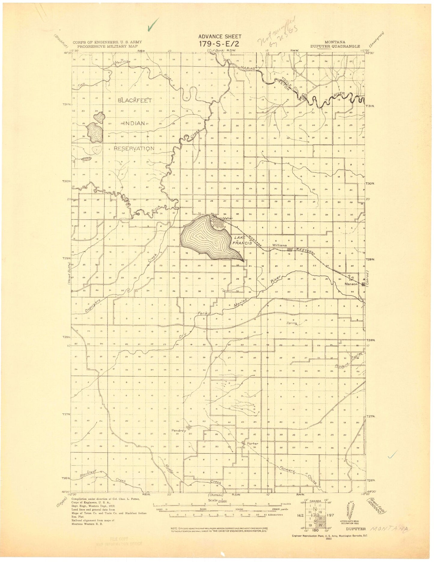
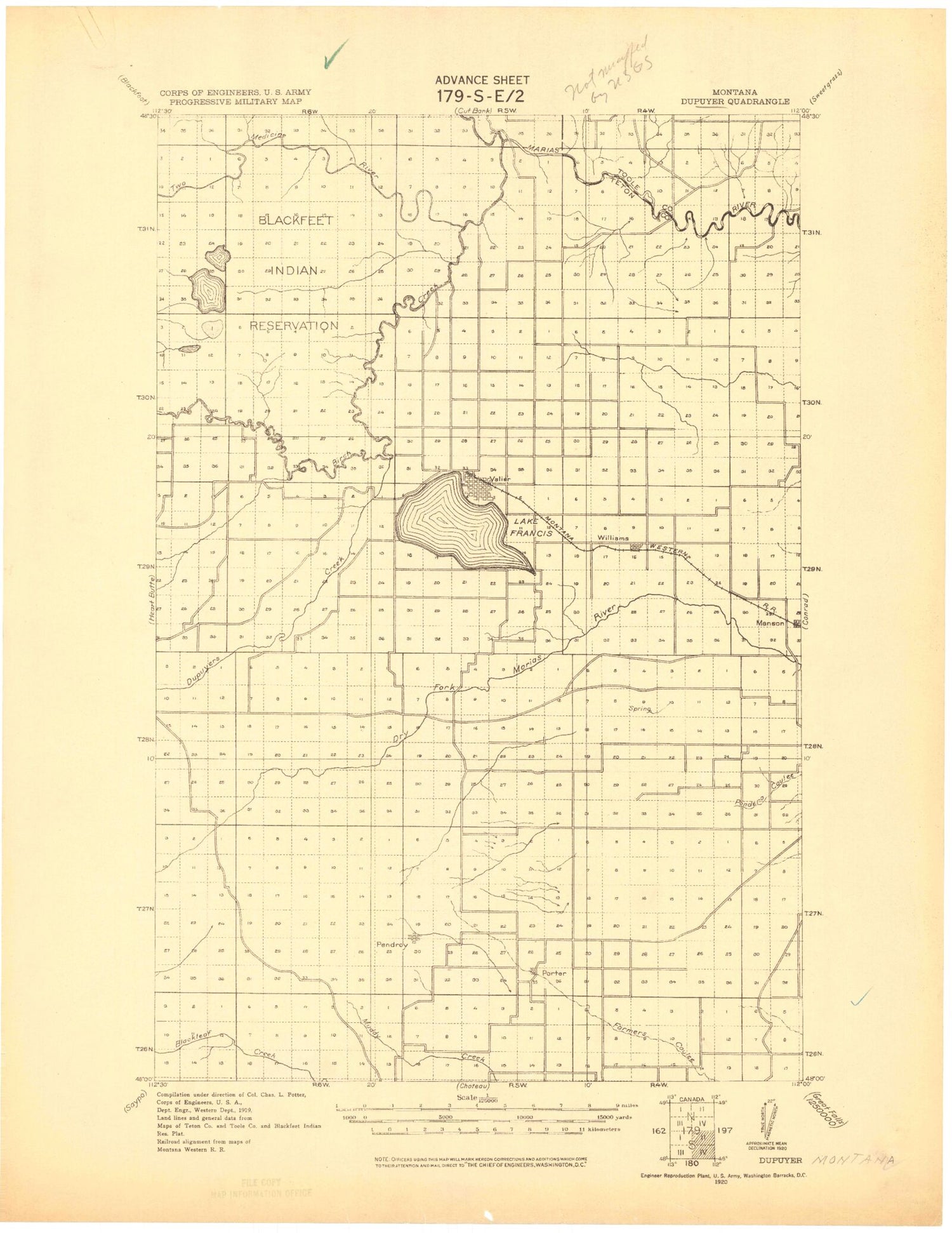
Historic 1920 Durvyer Montana 30'x30' Topo Map
Couldn't load pickup availability
Historical USGS topographic map of Durvyer in the state of Montana. Scale: 1:125000. Print size: 18" x 24"
This map was published in 1920 and is in the following counties: Glacier, Pondera, Teton, Toole.
The map contains contour lines, roads, rivers, towns, streams, and lakes. Printed on high-quality waterproof paper with UV fade-resistant inks.
Contains the following named places: Maucki Coulee, Sober Up Coulee, A 4 Canal, A Canal, Abbott Coulee, Abbott Lake, Abbott Ridge, Aldrich Coulee, Alkali Lake, Angell Ranch, Armstrong Ranch, Aubrey Crossing, Bartley Ranch, Benton Bench, Birch Creek Flats, Bird Ranch, Black Buttes, Blair Crossing, Blair Mine, Buffalo Ridge, Bullhead Drop, Bullhead Valley, Bynum Canal, C 3 Canal, C Canal, C Canal, Cactus Flat, Campbell Ranch, Cartwright Coulee, Castle Rock, Collins Ranch, Conrad Reservoir, Cut Bank, Cut Bank Creek, D Canal, Dupuyer, Edwards Crossing, Flag Butte, Frances Heights, Lake Frances, Gallup City, Goolin Ranch, Graham Ranch, Hall Ranch, Heron Lake, Hines Ranch, Home Ranch, Hubbard Mine, Hubbard Ranch, Jensen Coulee, Jensen Ranch, Kellogg Mine, Kennedy Mine, Kilian Ranch, Kingston Mine, Kuka Crossing, Kuka Ranch, L 2 Canal, L 9 Canal, L Canal, Lake Frances Dam, Lateral K, Lauffer Ranch, Laughlin Coulee, Lenoir Ranch, Lone Man Coulee, Lookout Butte, MacLain Ranch, Manson, Miller Coulee, Miller Coulee, Moser Ranch, Nelson Ranch, North Fork Dry Fork Marias River, Oertel Mine, Parker Ranch, Pendroy, Perkins Ranch, Pierce Crossing, Pierce Ranch, Pioneer Farm, Porter Bench, Ringwald Coulee, Rocky Ridge Coulee, Ryan Ranch, Sam George Hill, Scoffen Ranch, Seifert Ranch, Shields Crossing, Sill Ranch, Slezak Mine, Smith Ranch, Soap Creek, Soberup Ranch, South Fork Dry Fork Marias River, Spinning Ranch, Spring Coulee, Spring Hill, Spring Hill Ranch, Stanford Russell Ranch, Stetler Lakes, Sullivan Ranch, Trunk Butte, Valier, Wagner Ranch, Wayman Ranch, Wheeler Ranch, Wilkins Ranch, Williams, Willow Rounds, Winginaw Coulee, Winginaw Valley, Wolstad Ranch, Birch Creek, Dupuyer Creek, Middle Fork Dry Fork Marias River, Sheep Creek, Two Medicine River, Lake Frances North Dam, Oak Ridge Dam, Kitty Milk Dam, Widower Dam, Bull Pen Number 1 Dam, Bull Pen Number 2 Dam, E Canal, Badger Fisher Main Canal, Nineteen K Canal, K Canal, Mike Horse Mine, Kimball Mine, AN Two Canal, AN Canal, Rockport Colony, New Miami Colony, Bills Coulee, Birch Creek Colony, Telephone Hill, B Four Ditch, Kingsbury Colony, Rock City, Twentytwo K Canal, Two M Canal, M Canal, N Canal, Belgian Hill, AN Six Canal, C Canal, Pondera County, Woods Coulee, Hay Coulee, Barber Coulee, Haatvedt Coulee, Boucher Coulee, DeBoer Coulee, General Mills Incorporated Elevator, Cargill Elevator, Harvest States Cooperatives Elevator, Valier, Pondera Colony, Miller Park, Millar Coulee, North Fork Farmers Coulee, Miller Coulee, Rattlesnake Coulee, Blackfeet Reservation East Division, Town of Valier


