MyTopo
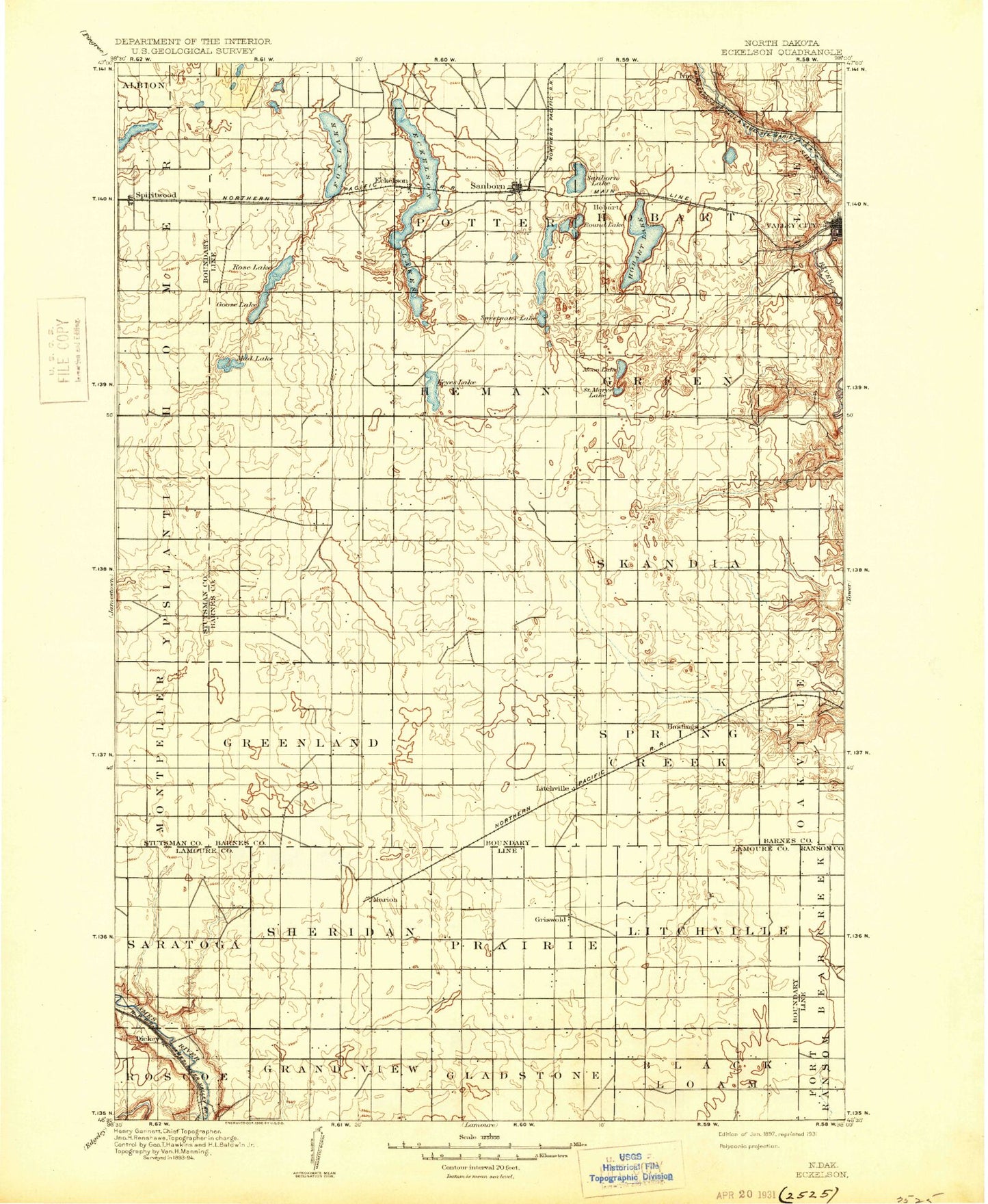
Historic 1897 Eckelson North Dakota 30'x30' Topo Map
Couldn't load pickup availability
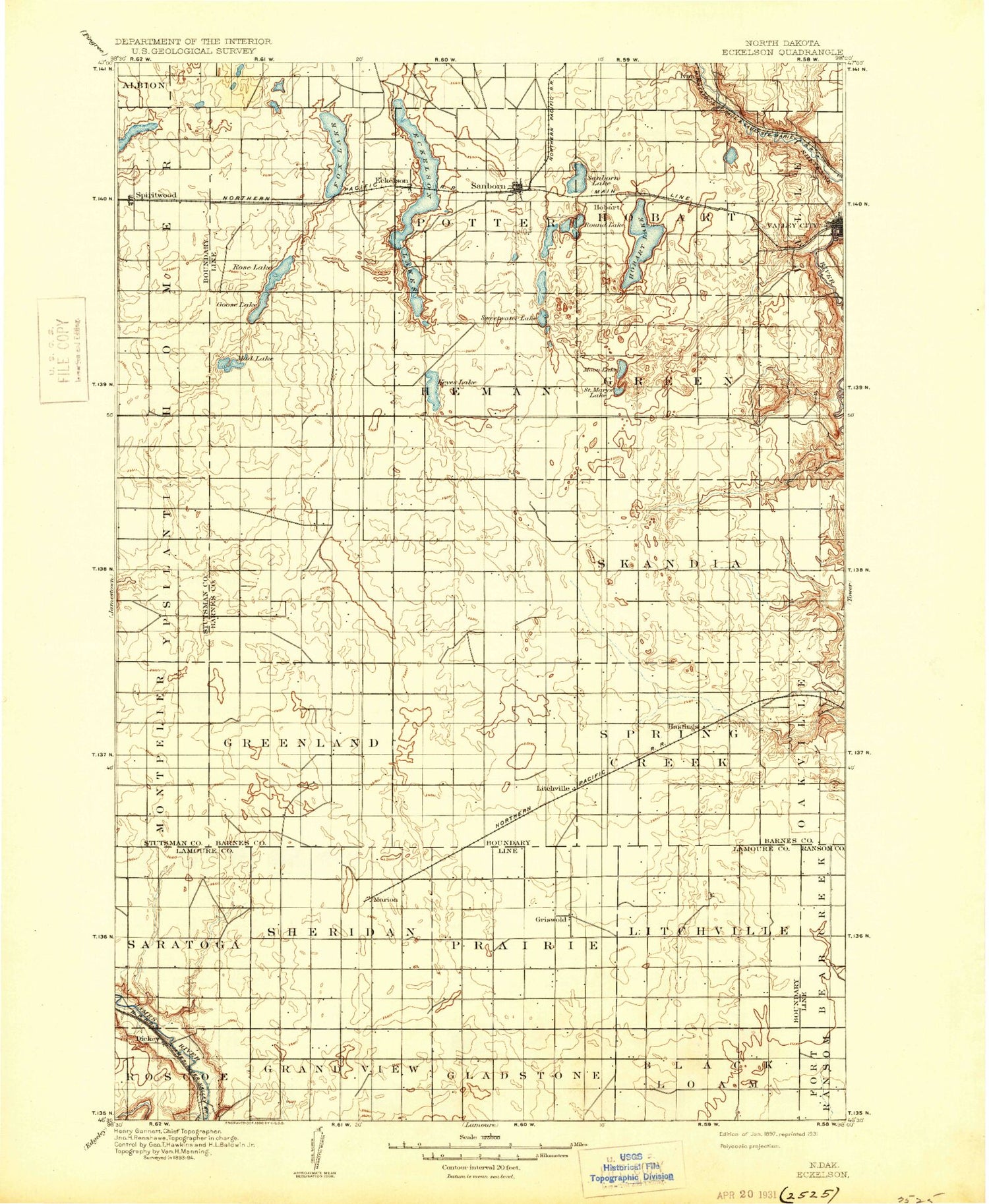
Historical USGS topographic map of Eckelson in the state of North Dakota. Scale: 1:125000. Print size: 17" x 24"
This map was published in 1897 and is in the following counties: Barnes, LaMoure, Ransom, Stutsman.
The map contains contour lines, roads, rivers, towns, streams, and lakes. Printed on high-quality waterproof paper with UV fade-resistant inks.
Contains the following named places: Big Swamp, Clausen Springs State Game Management Area, Eckelson, Eckelson Lake, Faust Park, Fox Lake, Goose Lake, Hastings, Hobart Lake, Hobart Lake National Wildlife Refuge, Island Lake, Kee Lake, Litchville, McDonald Lake, Moon Lake, Moon Lake State Wildlife Management Area, Mud Lake, Pioneer Park, Round Lake, Saint Marys Lake, Sanborn, Sanborn Lake, Spiritwood, Stoney Slough National Wildlife Refuge, Sweetwater Lake, Trager Dam, Valley City, Valley City National Fish Hatchery, Clausen Springs Dam, Hansen Dam, Valley City Park Dam, Valley City Mill Dam, Berckerley Dam, Bone Hill Creek, Dickey, Dry Coulee, Marion, Sevenmile Coulee, Berea, Urbana, Barnes County, City of Dickey, City of Litchville, City of Marion, City of Sanborn, City of Valley City, Township of Spring Creek, Township of Rosebud, Township of Greenland, Township of Skandia, Township of Green, Township of Svea, Township of Hemen, Township of Meadow Lake, Township of Mansfield, Township of Hobart, Township of Potter, Township of Eckelson, Township of Black Loam, Township of Gladstone, Township of Grandview, Township of Roscoe, Township of Litchville, Township of Prairie, Township of Sheridan, Township of Saratoga, Lokken Track, Shelly Ellig Field, Osmon Field House, Barnes County Waterfowl Production Area


