MyTopo
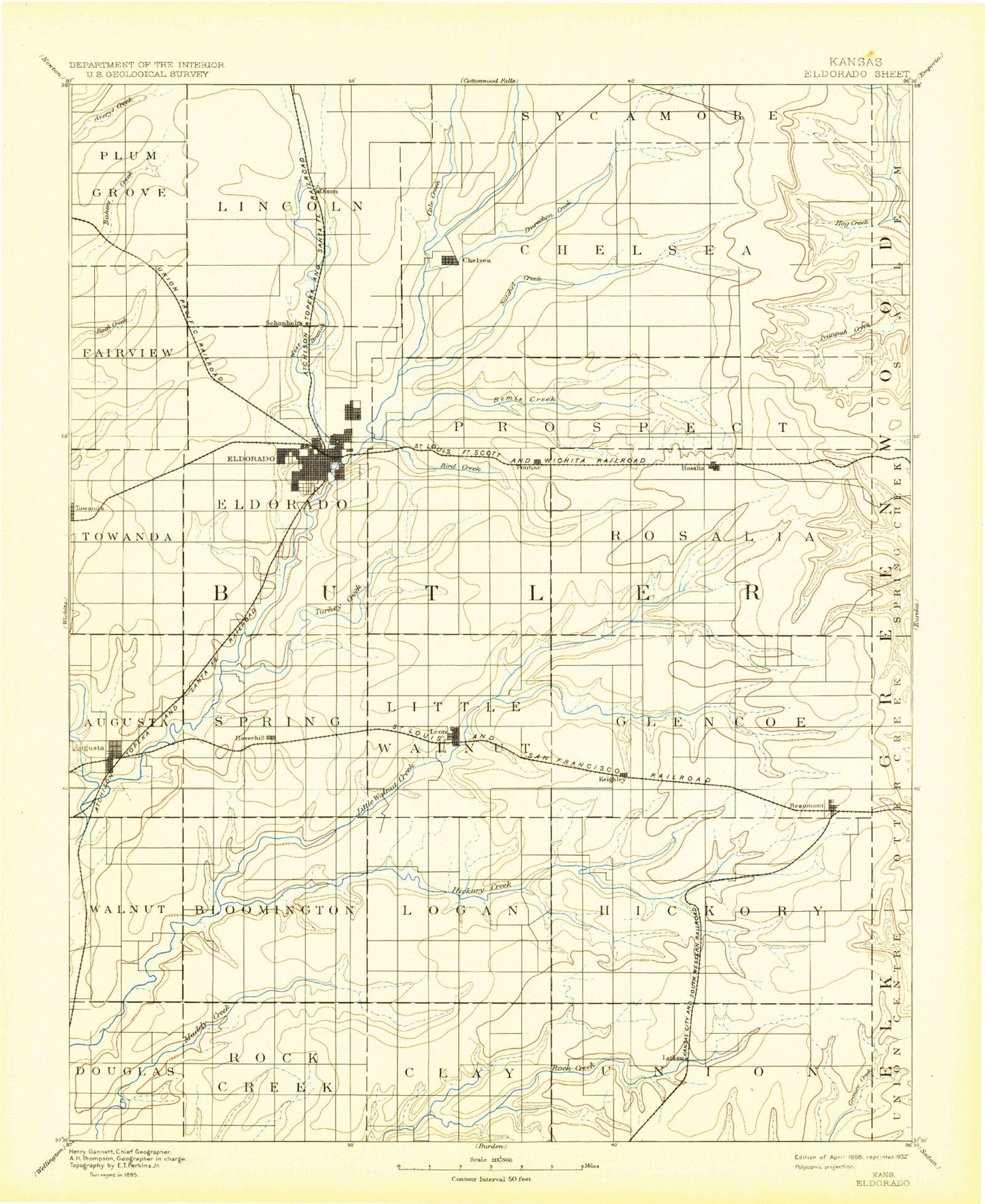
Historic 1888 El Dorado Kansas 30'x30' Topo Map
Couldn't load pickup availability
Historical USGS topographic map of El Dorado in the state of Kansas. Scale: 1:125000. Print size: 17" x 24"
This map was published in 1888 and is in the following counties: Butler, Elk, Greenwood.
The map contains contour lines, roads, rivers, towns, streams, and lakes. Printed on high-quality waterproof paper with UV fade-resistant inks.
Contains the following named places: Township of Union, Township of Douglass, Township of Rock Creek, Fox-Bush Oil Field, Township of Clay, Township of Plum Grove, Township of Fairview, Hazlett Oil Field, Cole Creek, West Branch Walnut River, Township of Lincoln, Township of El Dorado, El Dorado Oil Field, Gilmore Branch, De Graff, Battle Creek, Township of Chelsea, Cat Creek, Durechen Creek, Satchel Creek, Bemis Creek, Hog Creek, Pierce Oil Field, Oil Hill, Township of Towanda, Towanda, Sutton Creek, Turkey Creek, Smock-Sluss Oil Field, Prospect, Constant Creek, Graham Park, Gordy Park, East Park, Forest Park, Bird Creek, Long Oil Field, Young Oil Field, Shady Creek, Harrison Creek, Township of Prospect, Township of Rosalia, De Haas Creek, Middle Branch Little Walnut River, Lower Branch, Upper Branch, North Branch Little Walnut River, Windy Hill, Stanhope Oil Field, Blankenship Oil Field, Rogers Pond, Rosalia, Sallyards, Jackson Oil Field, Township of Walnut, Whitewater River, Augusta, Elm Creek, Augusta Oil Field, Moyle Field, Garvin Park, Augusta Lake, Haverhill, Augusta North Oil Field, Haverhill Oil Field, Township of Bloomington, Township of Spring, Pickrell Corner, Leon, Leon Oil Field, Garden-Reynolds-Shaffer Oil Field, Township of Augusta, Township of Logan, Township of Little Walnut, Hickory Creek, Honey Creek, Eagle Creek, Brandt-Sensenbaugh Oil Field, Kramer-Stern Oil Field, Township of Glencoe, Township of Hickory, North Branch Hickory Creek, South Branch Little Walnut River, Stony Branch, Nicholas Creek, Beaumont, Keighley Oil Field, Camp Wiedemann, Douglass Oil Field, Muddy Creek Oil Field, Gordon, Steinhoff Oil Field, Snowden-Mc Sweeney Oil Field, North Branch Rock Creek, Latham Oil Field, Lake Clymer, Plum Creek, Shinn Northeast Oil Field, Ferrell South Oil Field, Ferrell Oil Field, South Branch Hickory Creek, Butler State Fishing Lake and Wildlife Area, El Dorado Lake, El Dorado State Park, El Dorado Lake Dam, Upper Wiedemann Dam, Lower Wiedemann Dam, Butler County State Lake Dam, Towanda Service Area, North Main Shopping Center, Fifth and Main Plaza, El Dorado Plaza, North Star Shopping Center, Augusta Plaza, Augusta Country Club Shopping Center, Pine Grove, Ophir, Central Park, Knutson Park, Main Park, Rice Park, Riverview Park, Southwest Park, Summit Park, Midian, Hopkins, Chelsea, Aikman, Vanora, East El Dorado, Pontiac, Summit, Keighley, Smileyville, Bois d' Arc, Clay Center, Bloomington, Butler County, El Dorado, Latham, City of Augusta, City of El Dorado, City of Latham, City of Leon, City of Towanda, El Dorado State Park Bluestem Point Camping Area, El Dorado State Park Boulder Bluff Camping Area, El Dorado State Park Shady Creek Camping Area, El Dorado State Park Walnut River Camping Area, Shady Creek Marina, Walnut Valley Sailing Club, El Dorado Wastewater Treatment Facility, Leon Sewer Plant, Oil Hill Industrial Park, El Dorado Business Park, Butler County Sanitary Landfill, Elk River Wind Farm, Augusta Municipal Power Plant Number 1, Augusta Municipal Power Plant Number 2, Kansas Department of Transportation Greenwood County Rest Area, McDonald Baseball Stadium, Augusta Municipal Wastewater Treatment Plant, El Dorado Wastewater Treatment Facility, Latham Wastewater Plant, Augusta Mobile Home Park, Country Side Mobile Home Park, El Dorado Mobile Estates, Hanks Mobile Home Park, Highpoint Mobile Home Park, Leon Mobile Manor, Mitchell Mobile Home Manor, Prospect Mobile Home Park, Waco Trailer Court, Deer Grove Recreational Vehicle Park, Augusta Country Club, Prairie Trails Golf and Country Club, American Legion Golf Course, Butler County Fairgrounds, Fleming Feed and Grain Company Grain Elevator Number 1


