MyTopo
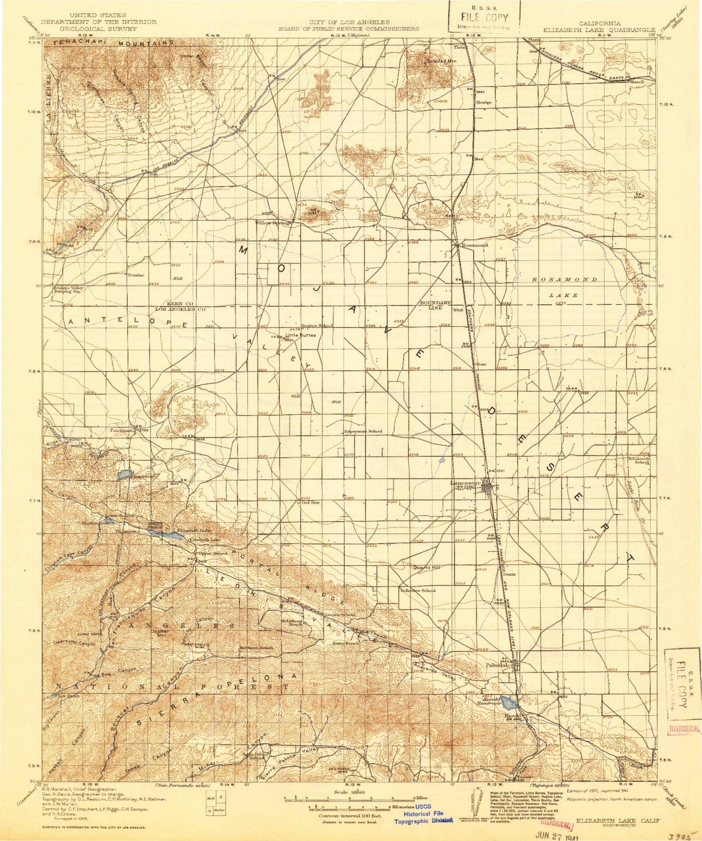
Historic 1917 Elizabeth Lake California 30'x30' Topo Map
Couldn't load pickup availability
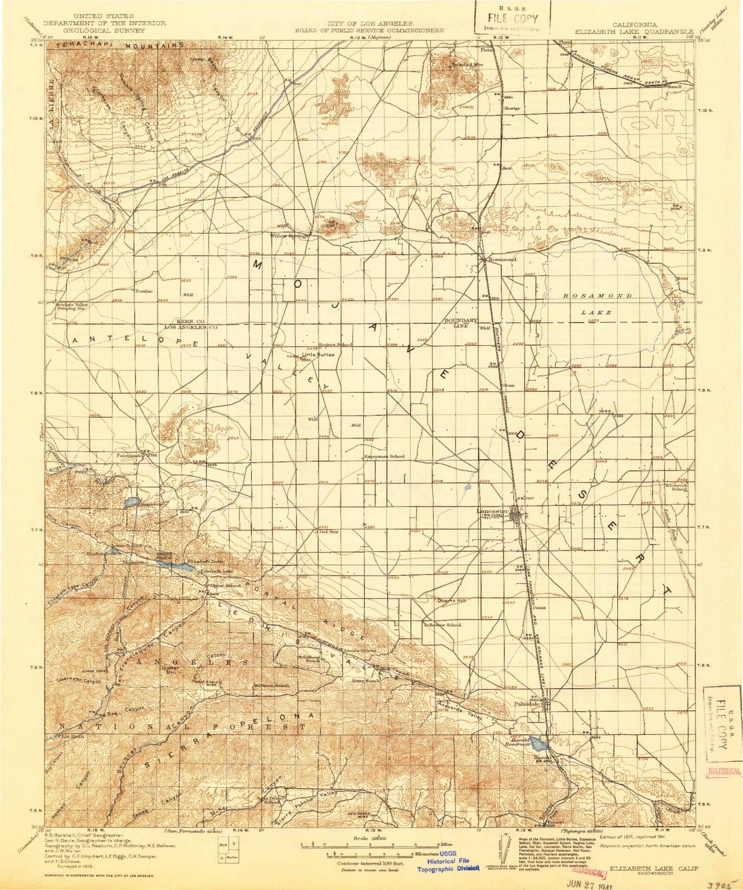
Historical USGS topographic map of Elizabeth Lake in the state of California. Scale: 1:125000. Print size: 17" x 24"
This map was published in 1917 and is in the following counties: Kern, Los Angeles.
The map contains contour lines, roads, rivers, towns, streams, and lakes. Printed on high-quality waterproof paper with UV fade-resistant inks.
Contains the following named places: Abrams Canyon, Actis, Annan Ranch, Artesian Spring Campgrounds, Bissell Hills, Bobtail Mines, Broad Canyon, Brown Butte, Burham Canyon, Burns Canyon, Burns Truck Trail, Cactus Queen Mine, Cottonwood Creek, De Stazo Hill, Deer Canyon, Edgewater Park, Elephant Eagle Mine, Elizabeth Lake, Elizabeth Tunnel, Fairmont Butte, Fairmont Reservoir, Forsythe Canyon, Gamble Spring Canyon, Golden Queen Mine, Grass Mountain, Grass Mountain Leona Divide Truck Trail, Gray Eagle Mine, Hauser Canyon, Hiatt Canyon, Hidden Valley, Hughes Lake, Juday Flat, Juday Truck Trail, Keeler Flats, Kings Canyon, Lake Hughes Truck Trail, Lannan Ranch, Leona Valley, Letteau Canyon, Little Buttes, Lookout Hill, Los Robles Ranch, Lost Valley, Lucky Canyon, Maple Canyon, Martindale Canyon, Mays Field, Mount McDill, Middle Butte Mine, Munz Canyon, Munz Lakes, Munz Ranch, Myrick Cutoff, Myrick Siphon, Oak Creek, Orr Spring Canyon, Pelona Lookout, Pine Canyon, Piute Ponds, Price Canyon, Quartz Hill, R and H Trail, Red Hill, Ritter Ranch, Rogers Creek, Roosevelt, Rosamond Hills, Rosamond Lake, Sawmill Liebre Firebreak Trail, Sierra Pelona, Sky Haven Ranch, South Portal Elizabeth Tunnel, Spade Canyon, Spruce Draw, Steiner Canyon, The Oaks, Tropico Hill, Tropico Shaft, Two Shay Ranch, Tylerhorse Canyon, Wagon Wheel Ranch, West Antelope Station, Willow Siphon, Willow Springs Butte, Fairmont, Lincoln Crest, Oban, Sunrise, Pond Two, Spade Spring Canyon, Andrade Corner, Bean Canyon, Bleich Canyon, Willow Springs Canyon, Tejon Park, Amargosa Creek, Anaverde Creek, Antelope Acres, Aqueduct Tunnel, Baird Canyon, Bee Canyon, Bouquet Campground Number Four, Bouquet Canyon Dam, Bouquet Guard Station, Bouquet Reservoir, California Mine, Carr Canyon, Chaparral Campground, Cherry Canyon, Cheseboro Siphon, City Ranch, Clearwater Canyon, Cochems Ranch, Del Sur, Del Sur Ridge, Denis, Dowd Canyon, Eric Munz Ranch, Foothill Ranch, Godde Pass, Governor Mine, Green Valley, Harold, Hunt Canyon, Johnson Siphon, Johnson Summit, Jupiter Mountain, Leona Siphon, Leona Valley, Leona Valley Ranch, Little Rock Siphon, Little Rock Wash, Messer Ranch, Mint Canyon Campground, Myrick Canyon, Mystic Canyon, Palmdale Ditch, Lake Palmdale, Palms Park, Pine Creek, Pitchfork Ranch, Puritan Mine, Railroad Canyon, Red Rover Mine, Ritter Canyon, Ritter Siphon, Road Camp Number Seven, Rowher Canyon, Saugus Del Sur Truck Trail, Silver King Mine, Soledad Pass, Soledad Siphon, South Portal Campground, South Portal Canyon, Spunky Canyon, Spunky Canyon Campground, Summit, Tuckerway Ranch, Tule Ridge, Una Lake, Valley View Ranch, Willow Springs Canyon, Texas Target Shooting Area, Texas Canyon Engineering Work Center, Savgus District Ranger Office, Las Cantilles Picnic Area, Las Cantilles, Zuni Campground, Bouquet Campground, Big Oaks Campground, Streamside Campground, San Francisquito Campground, Lancaster, Palmdale, Bouquet Campground Number Three, Antelope Substation, Antelope Valley Country Club, Bouquet Pipeline, Harold Beacon, Mira Loma Detention Facility, San Francisquito Powerhouse Number One, Willow Springs Raceway, San Francisquito Ranger Station, Antelope Buttes, Ansel, Antelope Buttes, Bissell, Boiling Point, Four Points, Gem Hill, Lake Hughes, Pearland, Quartz Hill, Rosamond, Sleepy Valley, Soledad Mountain, Table Rock, Vincent, White Heather, Willow Springs, Fairmont 6-008 Dam, Bouquet Canyon 6-031 Dam, Harold Reservoir 57-002 Dam, Fiss Hill, Gloster, Alpine, Lakeview, Mission, Sunset Ranch, Pine Canyon County Patrol Station, Clarke Club, Glendale Rod and Gun Club, Hoffman Club, Double Eagle Mine, Tip Top Mine, A Andrews Ranch, Rosamond Sand Pits, Gaskill Ranch, Anaverde Valley, Antelope Valley Center Shopping Center, Antelope Valley Desert Riders Arena, Antelope Valley Fairgrounds, Antelope Valley Plaza Shopping Center, Apollo Park, Avenue S Park, Challenger Memorial Youth Center, Desert Aire Golf Course, Desert View Highlands, East Lancaster Plaza Shopping Center, Eastside Park, El Dorado Park, George Lane Park, Hull Park, Jane Reynolds Park, Kleiner Park, Lancaster Commerce Center Shopping Center


