MyTopo
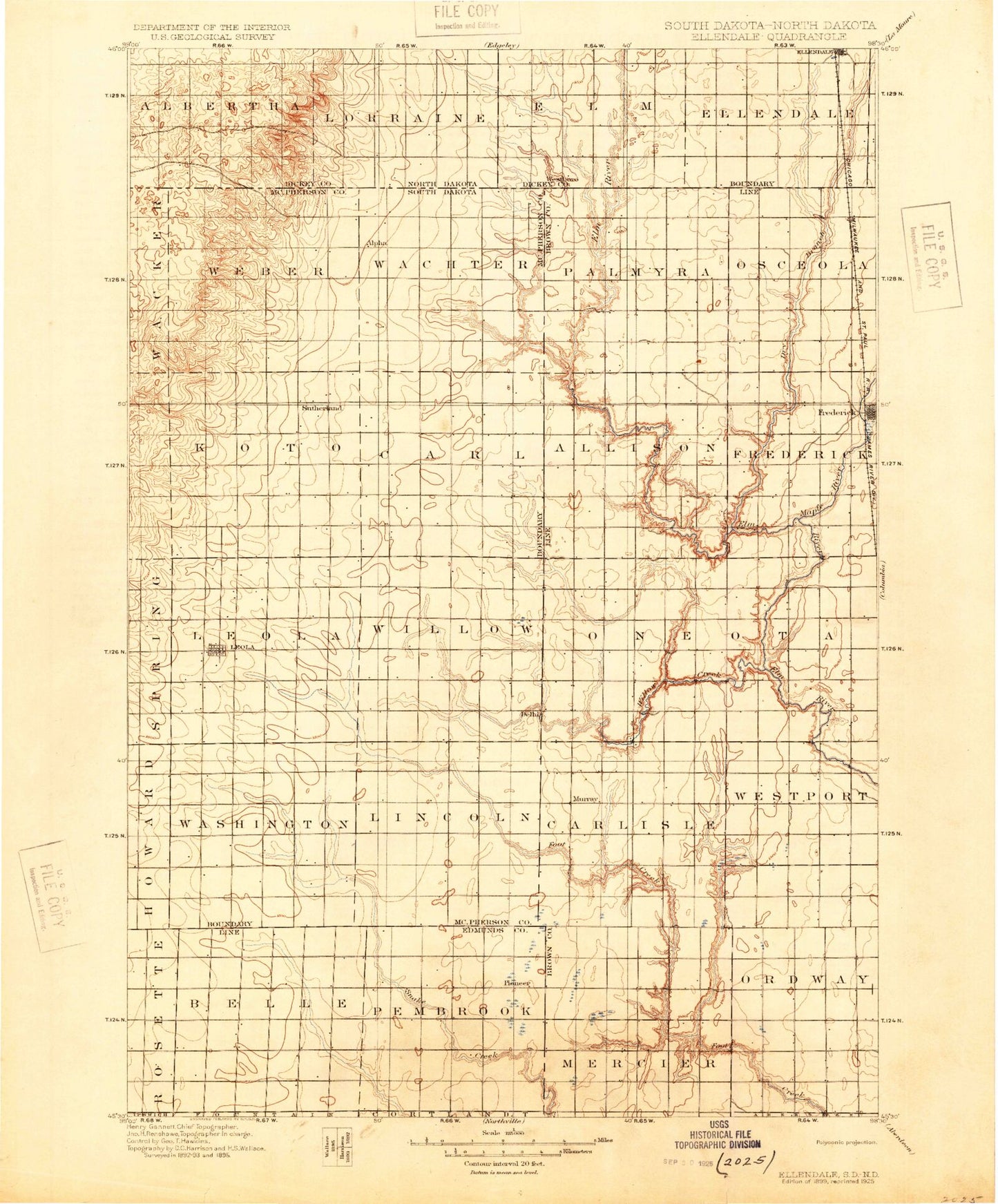
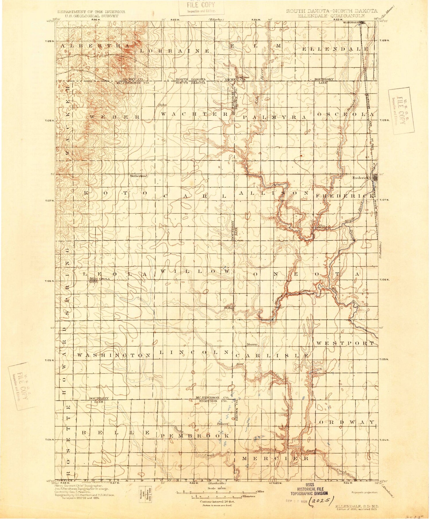
Historic 1899 Ellendale North Dakota 30'x30' Topo Map
Couldn't load pickup availability
Historical USGS topographic map of Ellendalein the states of North Dakota, South Dakota. Scale: 1:125000. Print size: 17" x 24"
This map was published in 1899 and is in the following counties: Brown, Dickey, Edmunds, McPherson.
The map contains contour lines, roads, rivers, towns, streams, and lakes. Printed on high-quality waterproof paper with UV fade-resistant inks.
Contains the following named places: Dry Branch, Forbes, Hoevens Gulch, Sewer Branch, Webber Gulch, Webers Gulch, Ellendale Water Supply Dam, Ellendale Township Dam, Maple River, Ellendale Country Club, City of Forbes, Township of Ellendale, Township of Elm, Township of Lorraine, Township of Albertha, Dry Branch, Elm Lake, Bob Tatum Field, Ray Ulmer Field House, Dickey County Waterfowl Production Area, Dry Branch, Sewer Branch, Webber Gulch, Maple River, Crompton Lake, Dry Branch, Dry Run, Elm Lake, Frederick, Kruse Dam, Leola, Long Lake Colony, Plainview Colony Number Two, Richmond, Richmond Lake, Richmond Lake State Recreation Area, Spring Creek Colony, Wetonka, Willow Creek, Willow Creek Dam, Willow Creek Lake, Elm Lake Dam, Leola Dam, Lake Lundquist, Richmond Dam, Frederick Dam, Frederick Lake, Winship, Richmond Heights, Richfield Heights, Gederos Estates, Pleasant Vally Development, Fisher Estates, Country Village Mobile Park, Bieglers First Addition, Richmond Lake Heights Development, Town of Frederick, City of Leola, Town of Wetonka, Township of Palmyra, Township of Osceola, Township of Lincoln, Township of Carlisle, Township of Frederick, Township of Allison, Township of Oneota, Township of Franklyn, Township of Westport, Township of Ravinia, Township of Koto, Township of Carl, Township of Leola, Township of Willow, Township of Washington, Township of Lincoln, Township of Weber, Township of Wachter, Township of Pembrook, Township of Belle, Deerfield Colony, Grassland Colony


