MyTopo
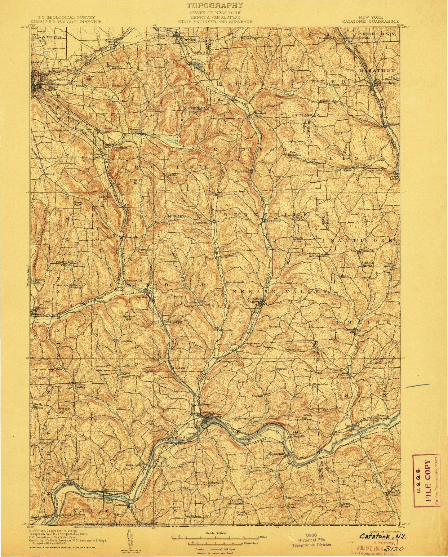
Historic 1906 Endicott New York 30'x30' Topo Map
Couldn't load pickup availability
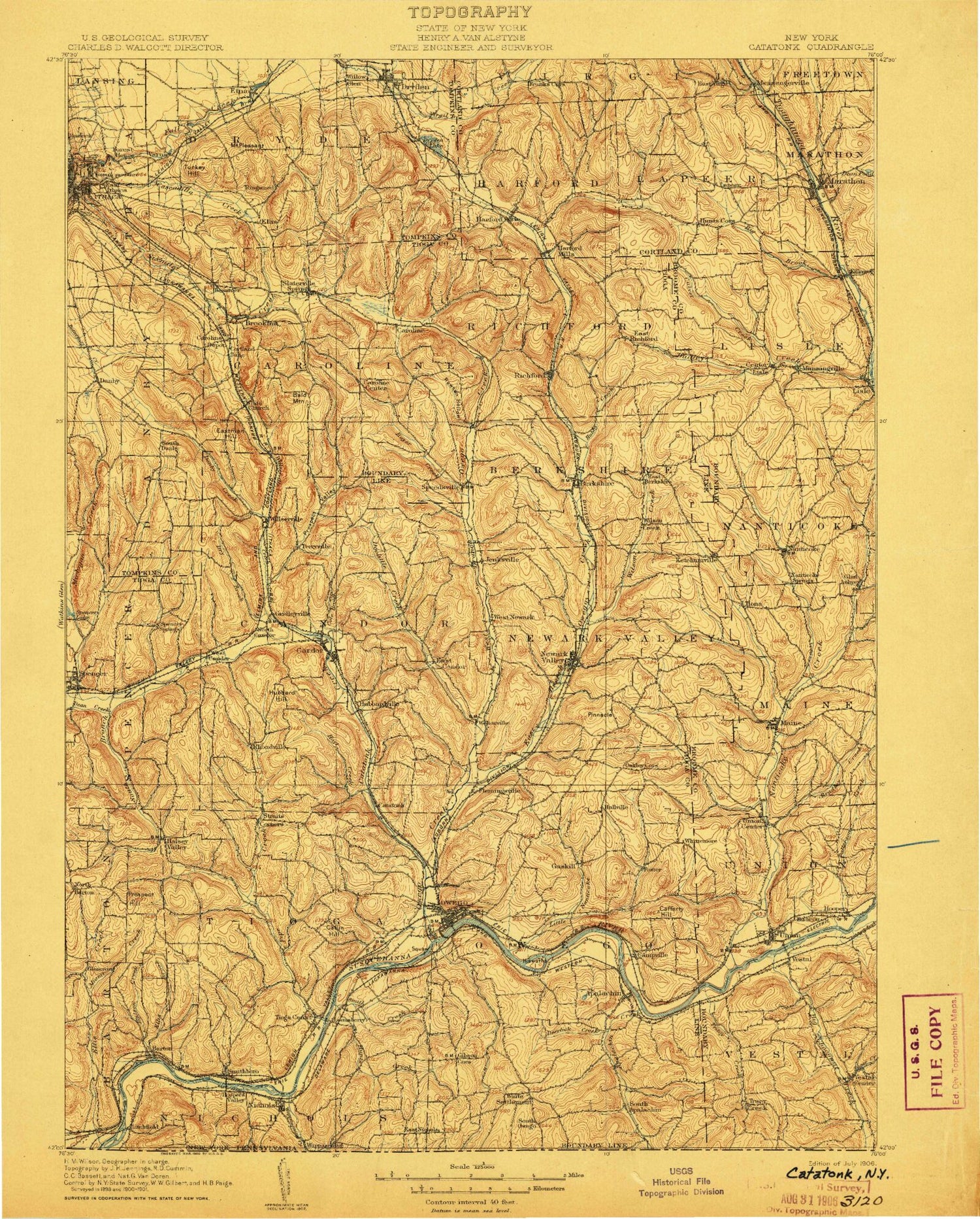
Historical USGS topographic map of Endicott in the state of New York. Scale: 1:125000. Print size: 16" x 24"
This map was published in 1906 and is in the following counties: Broome, Cortland, Tioga, Tompkins.
The map contains contour lines, roads, rivers, towns, streams, and lakes. Printed on high-quality waterproof paper with UV fade-resistant inks.
Contains the following named places: Alexander Lake, Allen Glen, Apalachin, Arnold Park, Babcock Hollow, Bailey Hollow, Baker Hill, Bald Mountain, Barnes Creek, Barton, Beam Hill, Beaver Pond, Beebe Lake, Berkshire, Besemer, Bethel Grove, Birthplace of John D Rockefeller, Bliven Creek, Bolles Hill, Bornt Hill, Bosket Lake, Boyer Creek, Bradley Creek, Brixius Creek, Brooktondale, Butson Creek, Buttermilk Falls, Buttermilk Falls State Park, Cafferty Hill, Campville, Candor, Candor Hill, Caroline, Caroline, Caroline Center, Caroline Depot, Catatonk, Center Lisle, Chambers Creek, Choconut Creek, Cole Brook, Cornell Hollow, Crest View Heights, Crocker Creek, Culver Creek, Danby, Danby Creek, Danby State Forest, Dead Creek, Dean Creek, Dean Pond, Deerlick Creek, Devils Elbow, Diamond Peak, Diamond Valley, Lake Diana, Doolittle Creek, Dry Brook, Dry Brook, Dryden, Dryden Lake, Dudley Creek, Durfee Hill, East Beecher Hill, East Berkshire, East Branch Nanticoke Creek, East Branch Owego Creek, East Ithaca, East Whitcomb Hill, Eastman Hill, Ellis, Ellis Brook, Ellis Creek, Ellistown, Empire Lake, En-Joie Park, Endicott, Endwell, Etna, Fairfield State Forest, Flag Marsh Run, Flemingville, Forest Home, Foster, Franks Corners, Frost Hollow, Gaskill, Gay Hollow, Gibson Corners, Glen Aubrey, Glendale Park, Goodrich, Gridley Creek, Grippen Hill, Guide Board Corners, Halsey Valley, Hammond Hill, Hammond Hill State Forest, Hardy Hill, Harford, Harford Mills, Hiawatha Island, Hill Top Lake, Holden Pond, Hoopers Valley, Hoopers Valley Island, Hoyt Creek, Hubbard Hill, Hubbard Hill Brook, Hubbardtown, Hubby Creek, Hullsville, Hungerford Hill, Huntington Creek, Hunts Corners, Hunts Creek, Hunts Creek, Ithaca Reservoir, Jenksville, Jennings Creek, Jennings Pond, Kenny Flats, Ketchumville, Ketchumville State Forest, Killawog, King Hill, Kirby Park, Lansing, Lillie Hill, Lisle, Litchfield, Little Nanticoke Creek, Little Wapessening Creek, Lounsberry, Maine, Manningville, Marathon, Marvin Park, Miami Creek, Michigan Creek, Miller Creek, Mutton Hill Pond, Nanticoke, Nanticoke Creek, Negro Hollow, Newark Valley, Nichols, Nixon Hill, Oak Hill, Oakley Corners, Oakley Corners State Forest, Owego, Owego Reservoir, Owl Creek, Parks Creek, Patterson Creek, Pierce Hill, Pine Valley Campsite, Pipe Creek, Pleasant Grove Brook, Mount Pleasant, Point O'Rocks, Pollard Hill, Potato Hill State Forest, Poverty Knob, Prospect Hill, Prospect Valley, Pumpelly Creek, Quail Hollow, Rawson Hollow, Reed Brook, Renwick, Richford, Rightmire Pond, Robinson Hollow State Forest, Ross Corners, Ross Hill, Round Hill Park, Roundtop, Sackett Creek, Seelytown Creek, Shindagin Hollow, Shindagin Hollow State Forest, Shipman Hollow, Smith Creek, Smithboro, Snyder Hill, South Apalachin, South Branch Catatonk Creek, South Danby, South Hill, South Owego, South Vestal, Speedsville, Spencer, Squaw Island, Star Stanton Hill, Straits Corners, Sugar Creek, Sulphur Springs Creek, Summit Pond, The Hickories Park, The Narrows, Thorn Hollow, Tioga Center, Tracy Creek, Tracy Creek, Tracy Creek State Forest, Tuffs Island, Turkey Hill, Turkey Hill, Twin Orchard, Tyler Hollow, Union Center, Union Park, Van Nattas Dam, Varna, Vestal, Vestal Center, Virgil Mountain, Waits, Wappasening Creek, Weltonville, West Beecher Hill, West Branch Owego Creek, West Corners, West Hill, Apalachin Creek, Catatonk Creek, Cayuga Heights, Evelin Hill Creek, Ithaca, Ithaca Falls, Ketchumville Branch, Owego Creek, Steventown Hill


