MyTopo
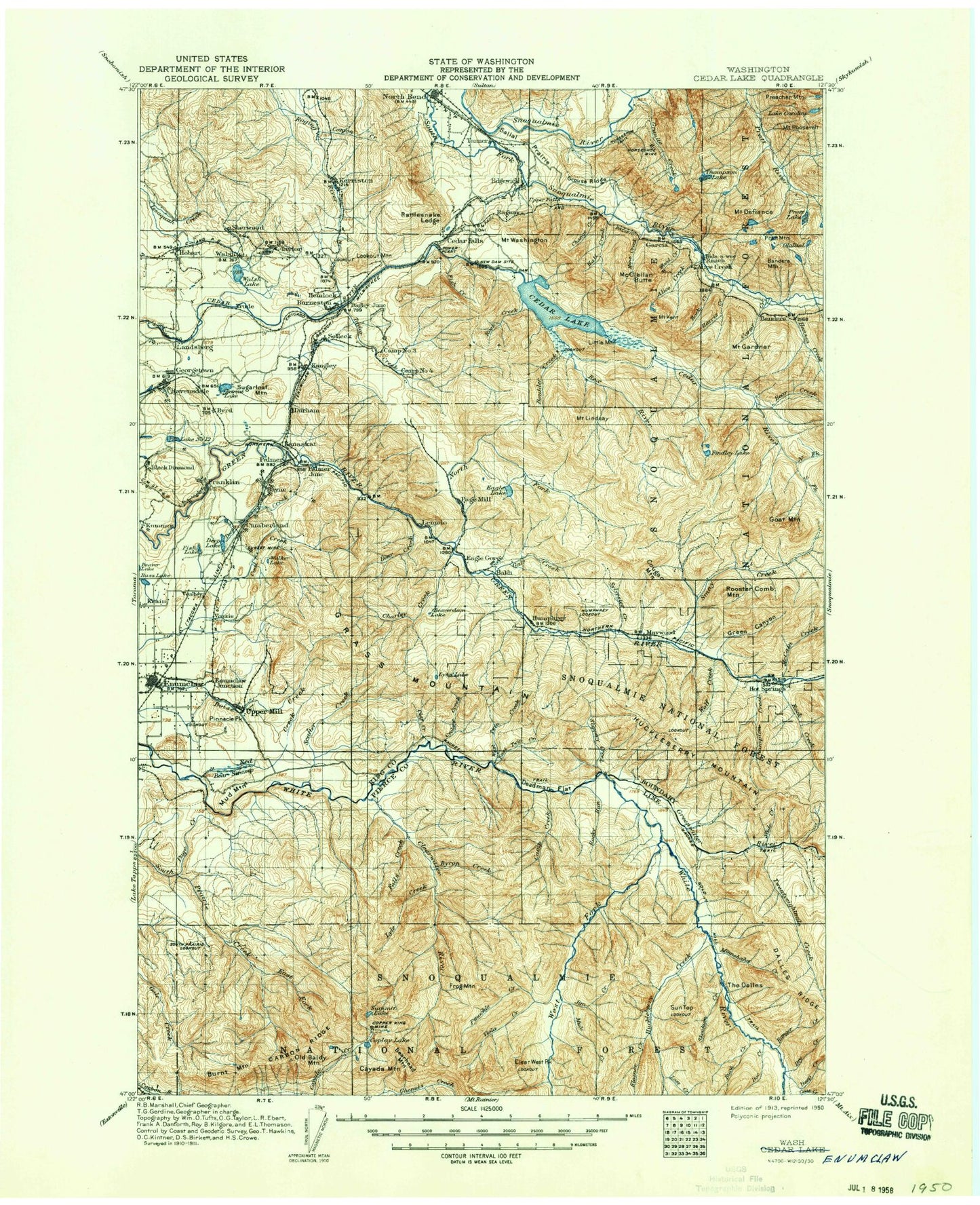
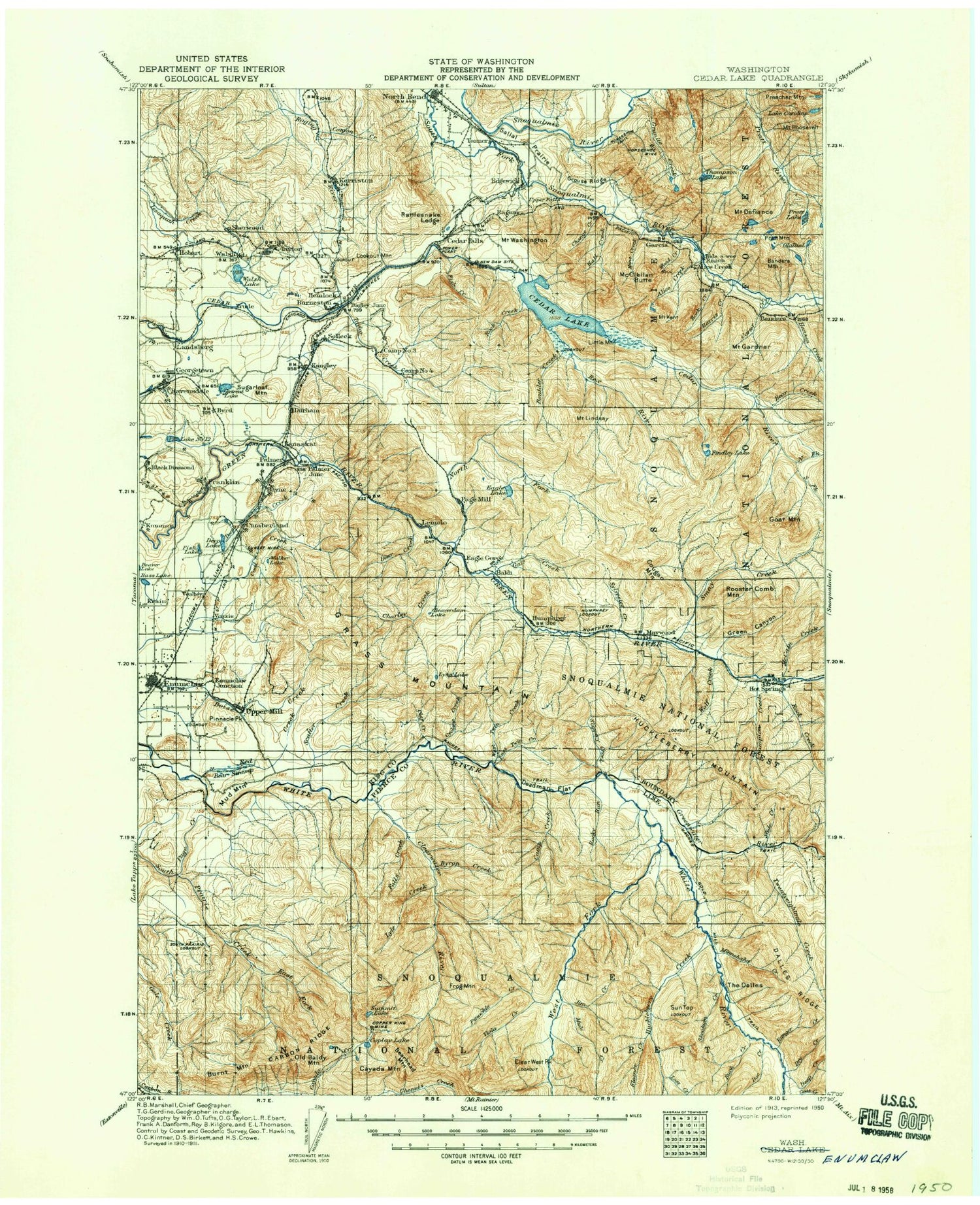
Historic 1913 Enumclaw Washington 30'x30' Topo Map
Couldn't load pickup availability
Historical USGS topographic map of Enumclaw in the state of Washington. Scale: 1:125000. Print size: 18" x 24"
This map was published in 1913 and is in the following counties: King, Pierce.
The map contains contour lines, roads, rivers, towns, streams, and lakes. Printed on high-quality waterproof paper with UV fade-resistant inks.
Contains the following named places: Taylor Mountain, Lake Albert, Alice Creek, Alice Lakes, Bagley Junction, Baldy Hill, Bandera, Bandera Mountain, Barneston, Bass Lake, Bayne, Bayne Junction, Bear Creek, Bear Creek, Bear Creek Cabin, Bear Swamp, Bearhead Mountain, Beaver Creek, Beaverdam Lake, Birch, Blazer Lake, Boise Ridge, Bone Lake, Bone Lake Trail, Boulder Creek, Boundary Creek, Boundary Creek, Boundary Guard Station, Boxley Creek, Brew Hill, Brewster Lake, Bridge Creek, Buck Creek, Burns Creek, Burnt Mountain, Byron Creek, Camp Creek, Camp Joy, Camp Sheppard Boy Scout Camp, Camp Waskowitz, Canyon Creek, Canyon Creek, Carbon Ridge, Carbon Trail, Carey Creek, Lake Caroline, Carter Creek, Cayada Mountain, Cedar Butte, Cedar Falls, Cedar Lake, Cedar Point Lookout, Cedar River Watershed, Celery Meadow, Champion Creek, Change Creek, Charley Creek, Chester Morse Lake, Chester Morse Monument, Christoff Trail, City Cabin, Clay Creek, Clear West Peak, Clearwater River, Clearwater Trail, Clipper Mine, Coal Creek, Coon Creek, Coplay Lake, Copper King Mine, Cougar Creek, Coundly Lake, Cumberland, Cyclone Creek, Dalles Lakes, Dalles Ridge, Damburat Creek, Deadman Flat, Deep Creek, Deep Creek, Deep Creek, Deep Lake, Mount Defiance, Derry Lake, Divide Ridge, Divide Trail, Doe Creek, Double Camp Shelter, Dry Camp, Dry Creek, Durham, Eagle Creek, Eagle Gorge, Eagle Lake, East Fork South Prairie Creek, East Lake, East Twin Creek, Echo Creek, Eleanor Creek, Enumclaw, Enumclaw Mountain, Falls Creek, Federation Forest State Park, Fell Hill, Findley Creek, Findley Lake, First Lake, Fish Creek, Fish Lake, Flip-O-Way Trail, Forest Lake, Foss Creek, Frog Mountain, Gale Creek, Garcia, Gardner Mountain Trail, Mount Gardner, Georgetown, Ghost Point, Gifford Lakes, Ginder Lake, Goat Creek, Goat Mountain, Granite Creek, Granite Lakes, Grass Mountain, Green Canyon, Green Point Creek, Green River Gorge, Green Valley, Greenwater, Greenwater River, Grouse Ridge, Hall Creek, Haller Pass, Hank Creek, Hansen Creek, Hansen Creek Trail, Harman Heights, Harris Creek, Hatchet Lake, Haystack, Hazzard Creek, Hemlock, Hobart, Holder Creek, Horseshoe Mine, Hot Springs, Hotel Creek, Howard A Hanson Reservoir, Huckleberry Creek, Huckleberry Mountain, Humphrey, Humphrey Lookout, Hurricane Gap, Hyde Lake, Island Lake, Jim Creek, Joe Creek, Kaleetan Creek, Kanaskat, Kanaskat Junction, Kangley, Kennedy Creek, Mount Kent, Kerriston, King County Enumclaw Park, Krain, Kulla Kulla Creek, Lake Kulla Kulla, Lake Number Twelve, Landsburg, Lemolo, Lester Trail, Lightning Creek, Lily Creek, Lily Lake, Lindsay Creek, Mount Lindsay, Little Eagle Lake, Little Mason Lake, Little Mountain, Little Si, Lonesome Lake, Long Hill, Lookout Mountain, Lost Creek, Lost Creek, Lower Dam, Lyle Creek, Lyle Lake, Lynn Lake, Martin Gap, Mason Creek, Mason Lake, Maywood, McCain Creek, McClellan Butte, McClellan Creek, McGilvery Creek, Middle Fork Taylor Creek, Milky Creek, Mine Creek, Mineral Creek, Minnehaha Creek, Mount Defiance Trail, Mountain Tree Farm Center, Mud Lake, Mud Mountain, Mud Mountain Dam, Mud Mountain Lake, Mule Creek, Mule Lake, Muskrat Lake, Naco, Nagrom, New Pond Creek, North Bend, North Fork Cedar River, North Fork Green River, North Fork Taylor Creek, Nosedive Creek, Olallie Lake, Old Baldy Mountain, Old Pond Creek, Otter Creek, Page Mill Pond, Palmer, Palmer Junction, Piling Creek, Pine Creek, Pinnacle Peak, Pinochle Creek, Pitcher Mountain, Pratt Lake, Pratt Lake Trail


