
MyTopo
Historic 1942 Franklin Indiana 30'x30' Topo Map
Couldn't load pickup availability
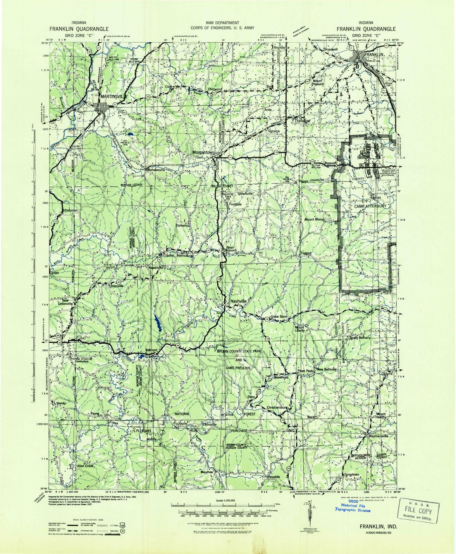
Historical USGS topographic map of Franklin in the state of Indiana. Scale: 1:125000. Print size: 18" x 24"
This map was published in 1942 and is in the following counties: Bartholomew, Brown, Jackson, Johnson, Monroe, Morgan.
The map contains contour lines, roads, rivers, towns, streams, and lakes. Printed on high-quality waterproof paper with UV fade-resistant inks.
Contains the following named places: Abe Martin Lodge, Adams, Allendale Camp, Amity, Anderson Lake, Anita, Annandale Estates, Baby Creek, Baker Hill, Bald Hill Ridge, Bald Knob, Barnard Hill, Barnes Creek, Bartlett Hollow, Bartley Ridge, Baughman Hill, Baxter Branch, Beanblossom, Beanblossom Lake, Bear Creek, Bear Creek, Bearwallow Hill, Beecher Hollow, Bell Creek, Bell Lake, Belmont, Bender Hollow, Bender Ridge, Bethany, Big Thunder Creek, Bill Jack Ridge, Blossom Hollow, Blue Bluff, Bradley Ridge, Brand Hollow, Brier Creek, Brown Hill, Brown Lake, Brown Ridge, Brummett Creek, Buck Creek, Buck Creek, Bucker Knob, Buckhart Creek, Buckner Branch, Bud, Bud Davis Hollow, Burton Hollow, Buzzard Point, Caldwell Hollow, Callon Hollow, Camp Christina, Camp Creek, Camp Rancho Framasa, Camp Roberts, Canada Hollow, Carmel Ridge, Carolyn Lake, Cemetery Island, Champlin Meadows, Cherry Lake, Clark Hill, Clarksdale, Clay Lick Creek, Clear Creek, College Mall Shopping Center, Conrad Branch, Cooks Hill, Cope, Cordry Lake, Cornelius, Cracky Ridge, Crestview Lake, Crooked Creek, Crouch Hollow, Danny Burr Hollow, David Branch, Davis Branch, Dawson Lake, Deadman Hollow, Dearmin Lake, Devils Backbone, Dolan, Donald Lake, Dowell Hill, Downey Hill, Dry Branch, Dubois Ridge, Dug Hill, Dunnaway Creek, Duvall Ridge, East Branch Owl Creek, East Branch Sweetwater Creek, East Fork Beanblossom Creek, East Fork Clear Creek, East Fork Honey Creek, East Fork Salt Creek, East Lake, Eastern Heights, Echo Lake, Epsom Ridge, Farr Ridge, Ferris Ridge, Fewell Rhoades, Five Points, Fleener, Fleming Lake, Fox Cliff, Franklin, Fruitdale, Gallahue Valley Camp, Gatesville, Gnaw Bone Camp, Gnaw Bone Creek, Gold Well Hollow, Goldenrod Point, Goose Creek, Goose Creek, Gorley Ridge, Gose Creek, Grandview Lake, Grandview Lake, Grassy Fork, Graveyard Hollow, Greasy Creek, Greasy Creek, Greasy Hollow, Green Hollow, Green Valley, Green Valley Creek, Greenbriar Lake, Greenhorn Creek, Guffy Hill, H Lake, Hants Lake, Happy Hollow, Happy Hollow Camp, Happy Hollow Lake, Happy Landing Lake, Harden Hollow, Hatfield Ridge, Hazelett Ditch, Helmsburg, Helton Hollow, Henderson Creek, Henderson Creek, Hesitation Point, Hickory Flat, High King Hill, Highland Creek, Hindustan, Hobbs Hollow, Hohen Point, Honey Creek, Honeycut Hollow, Hood Lake, Hoosier Acres, Hopewell, Hoppers Branch, House Branch, Howard Ridge, Hurricane Creek, Hyndsdale, I Lake, Indian Creek, Indian Trace Creek, Ira Hacker Ridge, Isominger Hollow, Jack Creek, Jackson Branch, Jakes Butte, Jimmy Sexton Hill, John Floyd Hollow, Jordan Creek, Kelley Hill, Kerr Creek, Kimmins Lake, Kin Hubbard Ridge, Kleindorfer Hollow, Knight Ridge, Knob Hill, Koots Fork, Kreuger Lake, Lake of the Clouds, Lamb Lake, Lambs Creek, Lampkin Ridge, Lanam, Landram Ridge, Lawsons Lake, Lazy Creek, Lazy Lake, Lazy Run, Lee Brown Ridge, Lake Lemon, Lester Ridge, Lick Creek, Lick Creek, Lick Creek, Limekiln Ridge, Lincoln Hill, Linger Longer Lake, Little Indian Creek, Long Lake, Long Run, Lost Creek, Lost Lake, Low Gap, Low Gap, Lower Schooner Creek, Macabo Lake, Mahalasville, Maple Hill, Martinsville, Mason Ridge, Maxwell, Maxwell Hill, McDaniel, Meetinghouse Ridge, Mill Ridge, Miller Lake, Moore Hill, Moores Creek, Morgantown, Mossop Ridge, Mount Liberty, Mount Liberty Creek, Mount Pleasant, Mountain Tea Ridge, Mud Creek, Mullendore Pond, Nashville, Mount Nebo, Needmore, Nelson Lake, New Unionville


