MyTopo
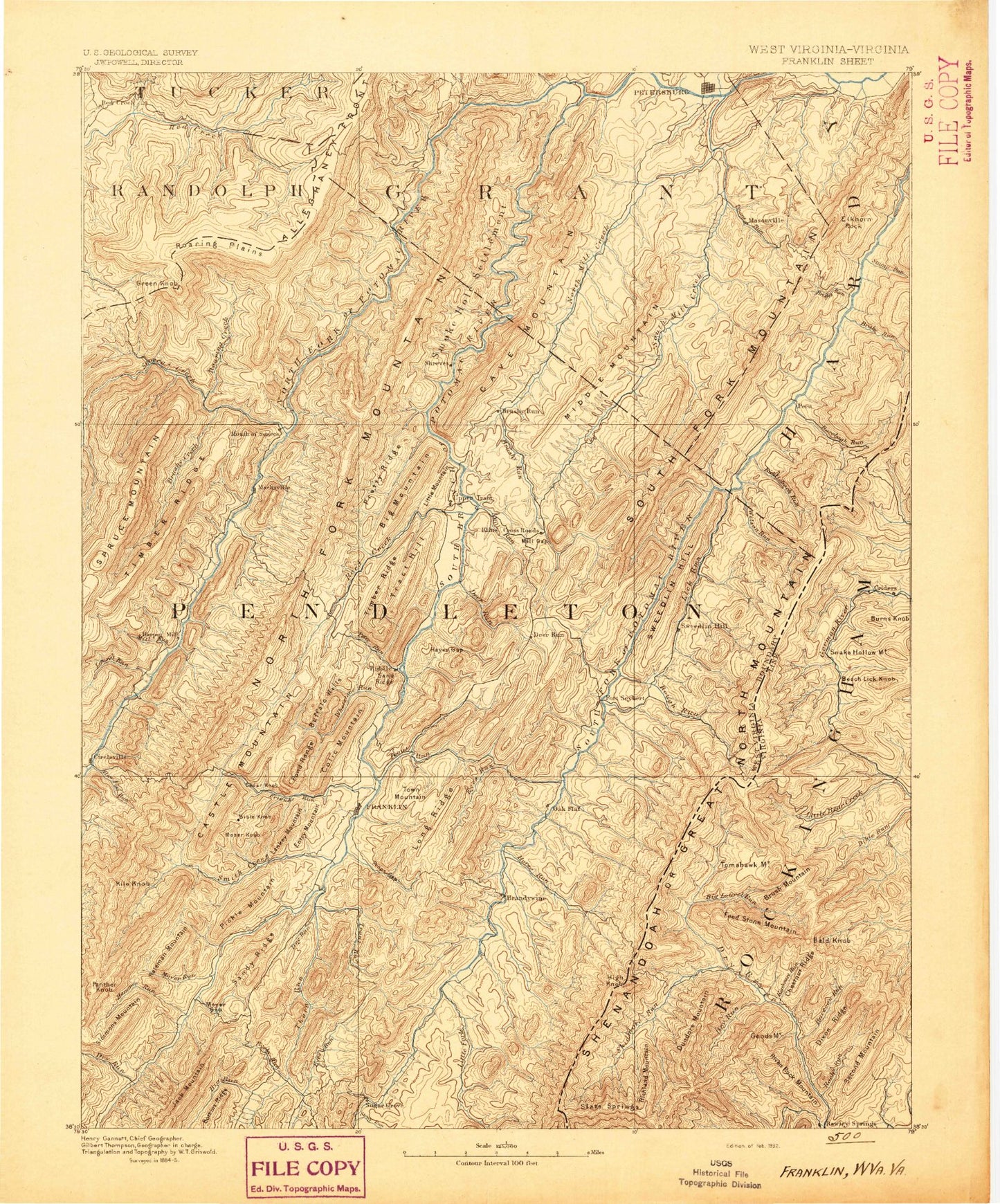
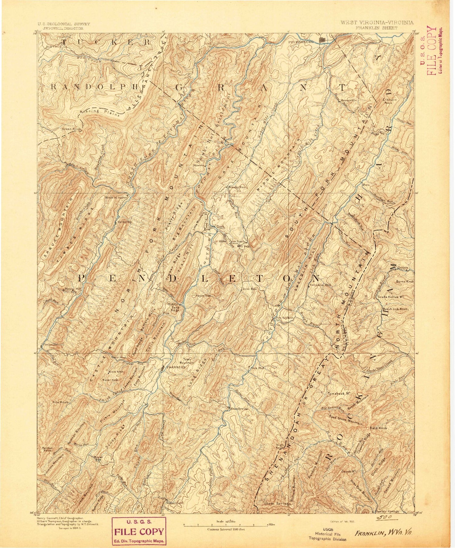
Historic 1892 Franklin West Virginia 30'x30' Topo Map
Couldn't load pickup availability
Historical USGS topographic map of Franklin in the state of West Virginia. Scale: 1:125000. Print size: 17" x 24"
This map was published in 1892 and is in the following counties: Grant, Hardy, Pendleton, Randolph, Rockingham, Tucker.
The map contains contour lines, roads, rivers, towns, streams, and lakes. Printed on high-quality waterproof paper with UV fade-resistant inks.
Contains the following named places: Bother Knob, Cow Knob, Shenandoah Mountain, Whitehorn Creek, Skidmore Fork Scenic Area, High Knob, Pine Knob, Baker Hollow, Baker Rocks, Big Run, Bobs Mountain, Castle Knob, Cave, Cedar Knob, Cedar Knob, Dorcas, Dumpling Spring Run, Durgon Creek, Elkhorn Mountain, Elkhorn Rock, Elkhorn Run, Getz Mountain, Goshen Ridge, Hammer Run, Jenkins Run, Kade Run, Kile Knob, Liberty Gap, Liberty Run, Little Creek, Long Run, Middle Ridge, Mill Creek, Mitchell Run, Moyer Gap, Moyer Run, Panther Knob, Pickle Mountain, Pine Tree Knob, Ruleman Mountain, Shooks Run, Simmons Mountain, Spring Run, Stump Knob, Stump Run, Tool Run, Wagner Knob, Wilfong Knob, Harper, Moatstown, Zigler, Pendleton County, Ant Knob, Austin Gap, Bean Gap, Bee Ridge, Bennett Gap, Big Bend Campground, Big Mountain, Big Run, Big Run, Bill Run, Blackthorn Creek, Blizzard Run, Blue Rock, Boars Nest Trail, Bother Ridge, Bother Ridge Trail, Bouses Run, Brady Gap Run, Brake Run, Brandywine, Brandywine Lake, Brandywine Recreation Area, Brandywine Run, Briery Gap Run, Briggs Run, Broad Run, Broad Run, Broadmouth Hollow, Brushy Mountain, Brushy Run, Brushy Run, Brushy Run, Buck Hollow, Buck Lick Run, Buck Lick Run Trail, Buck Ridge, Buffalo Run, Bulls Head, Cabins, Camp Echo, Camp Run, Castle Mountain, Castle Rock, Cave Knob, Cave Mountain, Cedar Knob, Champe Rocks, Chimney Top, Cliff Run, Clifton Knob, Coal Knob, Collins Run, Conrad Gap Run, Cool Hollow, Dahmer, Day Knob, Dayton Knob, Dean Gap, Deep Hollow, Deep Hollow Run, Deer Run, Detimer Run, Dice Run, Dice Run, Dickinson Mountain, Dividing Ridge, Dolly Ridge, Dolly Run, Dolly Sods Picnic Area, Dry Hollow, Dry River Hollow, Dry Run, Dry Run, Dry Run, Dry Run, Dug Knob, Dunkle Knob, Eagle Rock, East Dry Run, Eliza Hollow, Elklick Run, Entry Mountain, Evick Hollow, Evick Knob, Falls of Seneca, False Gap, Fisher Knob, Fisher Mountain, Fisher Run, Fisher Spring Run, Flatrock Plains, Flatrock Run, Flint Knob, Fore Knobs, Foremost Mountain, Fork Ridge, Franklin, Friends Run, Gandy Run, George Run, Germany Knob, Germany Valley, Granddaddy Knob, Gravel Lick Run, Greenawalt Gap, Gulf Run, Gum Hollow, Hammer Run, Harman Knob, Harper Gap, Harper Run, Hawes Run, Hayes Gap Run, Haystack Knob, Haystack Knob, Heavener Mountain, Heavener Run, High Knob, High Knob, High Knob, High Knob, High Mountain, High Ridge Run, Hinkle Gap, Hiveley Run, Hoffman Ridge, Hog Ridge, Hoover Mountain, Hoovers Ridge, Hopeville Gap, Horsecamp Run, Huckleberry Hill, Hunting Ridge, Johnson Run, Jordan Run, Judy Gap, Judy Gap, Judy Run, Kane Gap, Kentuck Run, Kessner Run, Ketterman Knob, Kettle Creek, Kettle Run, Kile Run, Kimble Ridge, Lambert Gap, Landes Hollow, Lankey Mountain, Laurel Run, Left Fork Flatrock Creek, Left Hand Run, Lick Knob, Lick Run, Lick Run, Lick Run Trail, Little Camp Run, Little Fork, Little Mountain, Little Pond Ridge, Little Rough Run, Little Stonecoal Run, Little Stony Run, Long Hollow, Long Hollow, Long Ridge, Long Run, Long Run, Long Run, Long Run, Lower Gulf Run, Lunice Creek, Lynn Lick Hollow, Mallow Knob, McIntosh Run, Mexico Hollow, Middle Mountain, Middle Mountain, Middle Ridge, Middle Ridge, Milam, Mill Creek, Mill Gap, Mill Mountain


