MyTopo
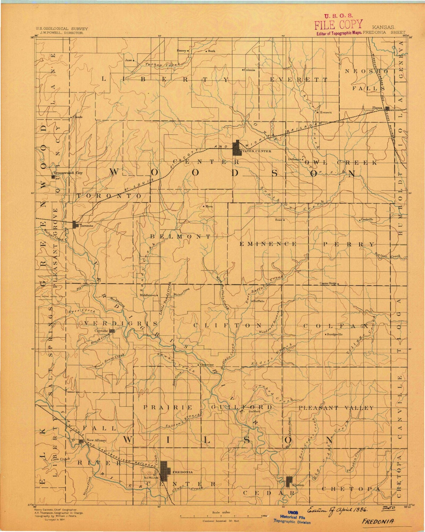
Historic 1886 Fredonia Kansas 30'x30' Topo Map
Couldn't load pickup availability
Historical USGS topographic map of Fredonia in the state of Kansas. Scale: 1:125000. Print size: 16" x 24"
This map was published in 1886 and is in the following counties: Allen, Elk, Greenwood, Neosho, Wilson, Woodson.
The map contains contour lines, roads, rivers, towns, streams, and lakes. Printed on high-quality waterproof paper with UV fade-resistant inks.
Contains the following named places: Township of Center, Township of Cedar, Township of Chetopa, Willow Creek, Township of Fall River, East Rainbow Creek, Township of Toronto, Dry Creek, Quincy, Blackwell Oil Field, Township of North, Yates Center Reservoir, Township of Center, Township of Liberty, North Owl Creek, Owl Creek Oil Field, Yates Center, Durand Oil Field, School Creek, Plum Creek, Cherry Creek, Piqua, Rock Creek, Leonards Lake, Toronto State Park, Miller Creek, Walnut Creek, Brazil Creek, Cedar Creek, Holiday Hill Public Use Area, Toronto Point Public Use Area, Negro Hollow, Toronto, Snag Hollow, Camp Ascension, Biscuit Mound, Toronto Lake, Quincy Oil Field, Sandy Creek, Little Sandy Creek, Woodson County State Park, Yates Center Oil Field, West Buffalo Creek, Silver City Oil Field, Big Sandy Oil Field, Rose, Bloody Run, East Buffalo Creek, South Owl Creek, Rose Oil Field, Otter Springs Creek, Cookville, Township of Perry, Shawnee Creek, Silver Creek, Cedar Hollow, Ross Branch, Westminster Woods Camp, Carlisle Branch, Brush Creek, Coyville, Meadow Creek, Woodson Cove, Pig Creek, Snake Creek, Greathouse Creek, Township of Verdigris, Township of Prairie, Shafer Lake, Walnut Creek, Round Top, Township of Webster, Rock Creek, Township of Clifton, Township of Guilford, Benedict, Woodruff Branch, Buffalo Creek, Elder Branch, Roper, Rest, Wilson County State Park, Buffalo, Township of Colfax, Township of Pleasant Valley, Vilas, Coon Creek, Indian Creek, Teeters Branch, New Albany, Clear Creek, Plum Branch Fall River, South Mound, West Mound, Fredonia, Salt Creek, Sutton Branch, Crooked Creek, Altoona, Camp Cauble, Big Cedar Creek, Little Cedar Creek, Five Mounds, Pumpkin Creek, Three Mounds, Long Mound, Dewey Mound, Township of Neosho Falls, Vernon Oil Field, Indian Creek, Wilson State Fishing Lake, Woodson State Fishing Lake and Wildlife Area, Toronto Wildlife Area, Toronto Dam, Wilson County State Lake Dam, Wilson County State Lake, Woodson County State Park Dam, Yates Center City Dam, Rose Dome, Woodson County Fairgrounds, Ridge, Durand, Hasty, Athens, Batesville, Middletown, Benedict Junction, Guilford, Silver City Dome, Wilson County, Woodson County, Fredonia Country Club, Vernon, City of Fredonia, City of Yates Center, City of Buffalo, City of Coyville, City of Altoona, City of Benedict, City of New Albany, City of Toronto, Cross Timbers State Park Blackjack Campground, Cross Timbers State Park Cross Osage Plains Campground, Cross Timbers State Park Cross Timbers Campground, Cross Timbers State Park Sandstone Campground, Buffalo Wastewater Treatment Plant, Fredonia Wastewater Treatment Plant, Toronto Sewer Treatment Plant, Woodson County Improvement District, Yates Center Sewage Treatment Facility, Kansas Department of Transportation Greenwood County Rest Area, Wilson County Fairgrounds, Altoona Sewer Treatment Plant, Cross Timbers State Park Honor Camp Wastewater Treatment Facility, Lakeside Golf Course, Fredonia Co - Operative Association Grain Elevator Number 1, Piqua Farmers Co - Operative Association Grain Elevator Number 1, Woodson County Co - Operative Association Grain Elevator Number 1, Yates Center Elevator Grain Elevator Number 1


