MyTopo
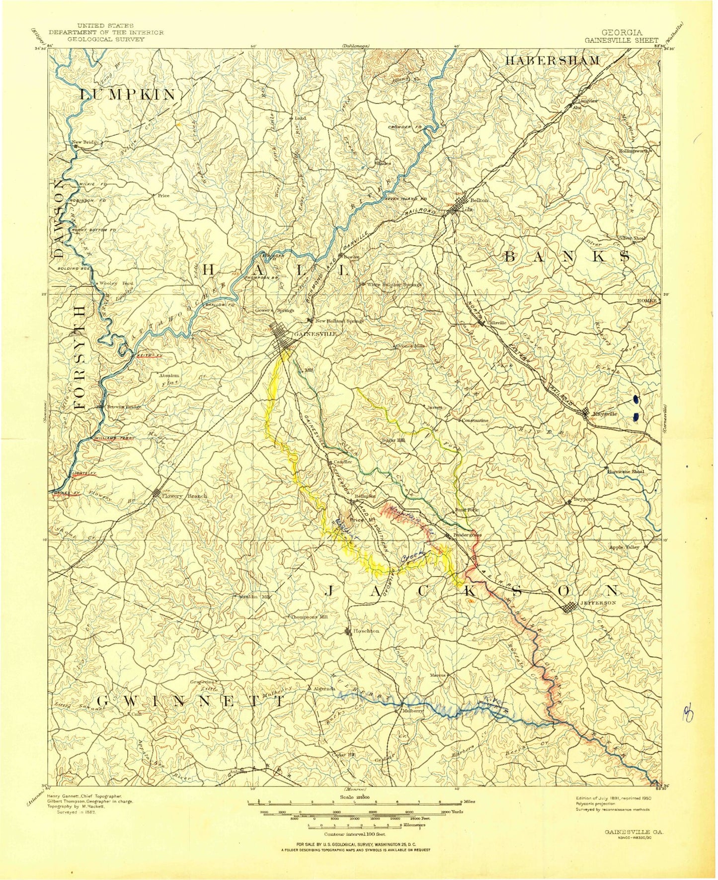
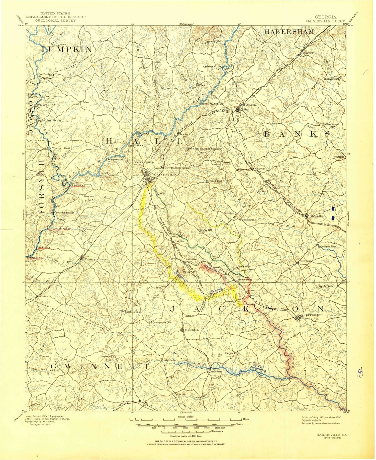
Historic 1891 Gainesville Georgia 30'x30' Topo Map
Couldn't load pickup availability
Historical USGS topographic map of Gainesville in the state of Georgia. Scale: 1:125000. Print size: 17" x 24"
This map was published in 1891 and is in the following counties: Banks, Barrow, Dawson, Forsyth, Gwinnett, Habersham, Hall, Jackson, Lumpkin.
The map contains contour lines, roads, rivers, towns, streams, and lakes. Printed on high-quality waterproof paper with UV fade-resistant inks.
Contains the following named places: Ada Creek, Allen Creek, Antioch Campground, Aqualand Park, Athens Park, Balus Creek, Balus Creek Access Point, Beech Creek, Bells Branch, Bells Mill Access Point, Bellton Creek, Bethel Park, Big Creek, Blackshear Place, Bolling Mill Access Point, Brenau Lake, Buckhorn Mountain, Buffalo Creek, Buffington Mill Creek, Bull Creek, Burton Mill Access Point, Calhoun Gold Mine, Candler Branch, Candler Creek, Cane Branch, Caney Fork, Cedar Creek, Cedar Creek, Chattahoochee Bay, Chestatee Bay, Chestatee, Chestnut Mountain, Chestnut Ridge Park, Cooper Creek, County Line, Crowe Lake, Cry Creek, Davis Lake, Deaton Creek, Dogwood Park, Dry Pond, Duckett Mill Access Point, Duncan Creek, East Fork Little River, East Fork Pond Fork, Eubank Creek, Flat Creek, Flowery Branch, Flowery Branch Bay, Garner Creek, Garrison Shoals, Gin Branch, Glade Lake, Glade Shoals, Gravelly Creek, Hawk Creek, Head Mill Creek, Hogan Lake, Holders Creek, Holly Park, Hurricane Shoal, Indian Creek, Ivy Terrace Park, Jefferson Park Access Point, Johnson Creek, Lakeshore Plaza Shopping Center, Latham Creek, Laurel Park, Limestone Creek, Little Hall Park, Little Ivy Creek, Little Mulberry River, Little Mulberry River, Little River, Little River Access Point, Little Yellow Creek, Lollis Creek, Long Hollow Access Point, Looper Lake, Lott Creek, Lula Park, Lumpkin Company Park, McEver Lake, Mitchell Creek, Mountain Creek, Mountain View Access Point, Mud Creek, Mulberry Creek, Mulberry River, Oakwood, Old Federal Road Park, Opossum Creek, Pendergrass, Pine Lake, Pitts Creek, Pond Fork, Ponys Lake, Pool Mountain, Price Mountain, Ralston Branch, Redstone Creek, Redwine Creek, River Forks Park, Robinson Access Point, Rock Creek, Rocky Creek, Roper Park, Sardis Creek, Sardis Creek Access Point, Sherwood Creek, Silver Shoal, Simpson Access Point, Squirrel Creek, Talmo, Taylor Creek, Thompson Creek, Toto Creek, Toto Creek Access Point, Town Creek, Twomile Creek, Van Pugh Park, Vanns Tavern Access Point, Wahoo Creek, Wahoo Creek Access Point, Walnut Creek, War Hill Park, West Fork Little River, Wheeler Creek, White Sulphur Access Point, Wildcat Creek Access Point, Winder Reservoir, Woodmen of the World Youth Camp, Yellow Creek, Bellton, Apple Valley, Klondike, Oscarville, Roberts Crossroads, Spout Spring Crossroads, Flat Creek, Little John Creek, Little Mud Creek, Little Nails Creek, Long Branch, Mossy Creek, Mountain Creek, Mud Creek, Silver Creek, Wilson Shoals, Wolfpen Branch, Wynn Lake, Wofford Creek, Arcade, Braselton, Brookton, Candler, Chicopee, Clermont, Flowery Branch, Hog Mountain, Hollingsworth, Lakeshore Estates, Lula, Maysville, Morning Side Hills, Murrayville, New Holland, Price, Rest Haven, Spring View Acres, Sunset Heights, Tanner Mill, Thompsons Mill, Thyatira, White Sulphur, Hoschton Recreation Park, Chicopee Woods Park, Road Atlanta Speedway, Lanier Speedway, Partial Lake, Fox Hill, Grove River Structure Number 15 Dam, Reservoir 15, Grove River Structure Number 21 Dam, Reservoir 21, Grove River Structure Number 25 Dam, Reservoir 25, Middle Fork Broad River Structure Two Dam, Reservoir Two, Ponys Lake Dam, L Cooper Lake Dam, Gilbert Dam, Martins Lake Dam, Martins Lake, Looper Lake Dam, Looper Lake Dam, Middle Oconee Structure Number Seven Dam, Reservoir Seven, Middle Oconee Structure Number One Dam, Reservoir One, Middle Oconee Structure Number Nine Dam, Reservoir Nine, Crowe Lake Dam, Hogan Lake Dam, Harrison Dam, Cruce Dam, Cruce Lake, Winder Reservoir Dam, Crowes Lake Dam, Crows Lake, Middle Oconee-Walnut Creek Number 12 Dam, Reservoir 12, Factory Pond Dam, Factory Pond, Middle Oconee Walnut Creek 19 Dam, Reservoir 19, Middle Oconee-Walnut Creek Number 17 Dam, Reservoir 17, Middle Oconee-Walnut Creek 18 Dam, Reservoir 18, Johnsons Lake Dam, Johnsons Lake, Jefferson City Lake Dam, Jefferson City Lake, Williamsons Lake Dam, Williamsons Lake, Weaver Lake Dam, Weaver Lake, Middle Oconee-Walnut Creek 15 Dam, Reservoir 15, Guyouzts Dam, Guyouzts Lake, Suwanee Creek Lake Dam, Suwanee Creek Lake, Grove River Structure Number 30 Dam, Reservoir 30


