MyTopo
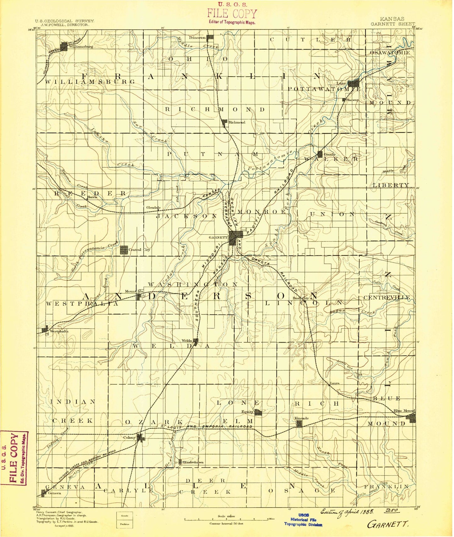
Historic 1885 Garnett Kansas 30'x30' Topo Map
Couldn't load pickup availability
Historical USGS topographic map of Garnett in the state of Kansas. Scale: 1:125000. Print size: 17" x 24"
This map was published in 1885 and is in the following counties: Allen, Anderson, Bourbon, Franklin, Linn, Miami.
The map contains contour lines, roads, rivers, towns, streams, and lakes. Printed on high-quality waterproof paper with UV fade-resistant inks.
Contains the following named places: Thomas Creek, Harris, Snake Lake, Andrews Lake, Elm Creek, Fish Creek, Rocky Run, Iantha Creek, Williamsburg, Mill Creek, Kenoma Creek, Township of Reeder, Old Channel Sac Creek, Sac Creek, Princeton, Township of Richmond, Township of Putnam, Dry Branch, Richmond Lake, Gilkey Lake, South Fork Sac Branch, North Fork Sac Branch, Greeley, Lane, Cockers Branch, Hahn Branch, East Branch Mosquito Creek, Mosquito Creek, West Branch Mosquito Creek, Little Sac Branch, Township of Walker, Township of Pottawatomie, Sac Branch, Cedar Creek, Township of Westphalia, Township of Monroe, Crystal Lake, South Fork Pottawatomie Creek, Lake Garnett, Lake Garnett Park, Scipio, Saline Creek, Garnett, Township of Washington, Township of Jackson, Township of Lincoln, Westphalia, Spencer Lake, Cherry Creek, Lake Welda, Bradshaw Creek, Welda, Mont Ida, Skunk Branch, Garrison Lake, Bush City, Township of Welda, Selma, Little Gus Creek, Centerville, Township of Indian Creek, Crystal Lake, Little Indian Creek, Geneva, Township of Ozark, Colony, Township of Lone Elm, Mildred, Mildred Lake, Coal Creek, Lone Elm, Kincaid, Township of Blue Mound, Township of Rich, North Fork Little Osage River, Middle Fork Little Osage River, South Fork Little Osage River, Blue Mound, Blue Mound Reservoir, Township of Williamsburg, Payne Creek, Township of Ohio, Garnett City Park Dam, Mildred Lake Dam, Central, Irish Creek, Ross Branch, Richmond, Silkville, Glenlock, Vance, Anderson County, City of Garnett, City of Colony, City of Blue Mound, City of Greeley, City of Kincaid, City of Lane, City of Lone Elm, City of Princeton, City of Richmond, City of Westphalia, City of Williamsburg, Princeton Municipal Water Treatment Facility, Lane Wastewater Plant, Richmond Wastewater Plant, Kincaid Wastewater Plant, Colony Wastewater Treatment Facility, Garnett Municipal Water Plant, Prairie Plaza Business Park, Shady's Recreational Vehicle Park, V and P Recreational Vehicle Park, Garnett Fairgrounds, Welda Sewer District Number 1, Blue Mound Municipal Water Treatment Facility, Greeley Municipal Wastewater Treatment Facility, Williamsburg Municipal Water Treatment Facility, Williamsburg Wastewater Treatment Plant Lagoon 2, Princeton Mobile Home Park, Garnett Country Club, Beachner Grain Elevator Number 13, Le Roy Co - Operative Association Grain Elevator Number 3, Valley R Agricultural - Service Grain Elevator Number 1, Beachner Grain Elevator Number 20, Beachner Grain Elevator Number 21, Beachner Grain Elevator Number 22, Beachner Grain Elevator Number 23, Beachner Grain Elevator Number 27, Rolling Ball Ranch, Cedar Valley Reservoir


