MyTopo
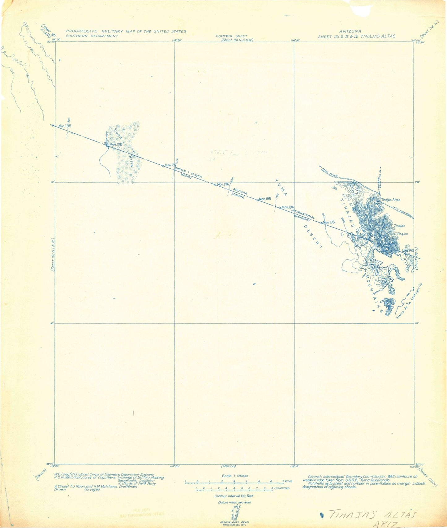
Historic 1982 Gila Mountains Arizona 30'x30' Topo Map
Regular price
$21.95
Regular price
Sale price
$21.95
Unit price
per
Couldn't load pickup availability
Historical USGS topographic map of Gila Mountains in the state of Arizona. Scale: 1:125000. Print size: 19" x 24"
This map was published in 1982 and is in the following counties: Yuma.
The map contains contour lines, roads, rivers, towns, streams, and lakes. Printed on high-quality waterproof paper with UV fade-resistant inks.
Contains the following named places: Butler Mountains, Cipriano Pass, Davis Plain, Raven Butte, Raven Butte Tank, Smith Mine, Spook Canyon, Spook Tank, Tinajas Altas Mountains, Tinajas Altas Pass, Vopoki Ridge, Surveyors Tank