MyTopo
Historic 1906 Gilbert Peak Utah 30'x30' Topo Map
Couldn't load pickup availability
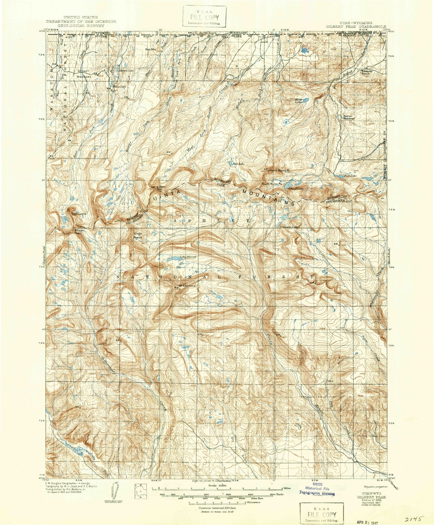
Historical USGS topographic map of Gilbert Peak in the state of Utah. Scale: 1:125000. Print size: 17" x 24"
This map was published in 1906 and is in the following counties: Daggett, Duchesne, Summit, Sweetwater, Uinta.
The map contains contour lines, roads, rivers, towns, streams, and lakes. Printed on high-quality waterproof paper with UV fade-resistant inks.
Contains the following named places: Bald Range, Beaver Meadow Reservoir, Beaver Parks, Big Spring Recreation Area, Bluebell Lake, Bluebell Pass, Bull Park, Burnt Ridge, Chain Lakes, Coal Mine Hill, Doll Lake, Drift Lake, Dry Gulch Cattle Camp, East Fork Beaver Creek, Five Point Lake, Gem Lake, Georges Park, Gregory Basin, Hardinger Draw, Heller Lake, Hole in the Rock, Hole in the Rock Guard Station, Hoop Lake, Hoop Lake Campground, Indian Creek, Jefferson Park, Kabell Meadows, Little Superior Lake, Lost Creek, Milk Lake, Pine Nut Ridge, Spider Lake, Superior Lake, Swasey Hole, Swasey Lakes, Toquer Lake, Tower Ridge, Tungsten Pass, Uinta Canyon Campground, Washs Nipple, Widdop Mountain, Willow Park, Heller Lake Dam, Drift Lake Dam, Five Point Lake Dam, Milk Lake Dam, Superior Lake Dam, Hoop Lake Dam, Dry Gulch Ranger Station, Allen Lake, Alligator Lake, Allred Lake, Anderson Pass, Ant Reservoirs, Atwood Creek, Lake Atwood, B-29 Lake, Bald Lake, Bear Lake, Bear Park, Bear Wallow, Beaver Lake, Bennion Lake, Bennion Park, Big Bend, Big Bend Hollow, Big Meadows, Bills Lake, Lake Blanchard, Bluebell Creek, Bollie Lake, Bowden Lake, Bridger Lake Campground, Bridger Lake, Bridger Lake Guard Station, Broadbent Meadow, Brook Lake, Buffalo Creek, Bull Elk Creek, Bull Park, Bullocks Park, Burnt Fork Lake, Carrol Lake, Cart Hollow, Castle Lake, Cedar View Reservoir, Center Fork Gilbert Creek, Center Park, Center Timothy Lake, China Lake, China Meadows, China Meadows Campground, Cirque Lake, Cleveland Lake, Cliff Creek, Cliff Lake, Clover Creek, Coffin Lake, Cow Canyon, Cow Park, Crow Canyon, Crystal Creek, Crystal Ranch, Dahlgreen Creek, Dark Canyon, Dark Canyon, Davis Lakes, Davis Park, Deadhorse Park, Deer Lake, Dime Lake, Dine Lake, Divide Lake, Dollar Lake, East Carroll Lake, East Cart Hollow, East Fork Whiterocks River, East Timothy Lake, Elbow Lake, Mount Emmons, Fallon Creek, Farmers Lake, First Canyon, Fish Creek, Fish Lake, Fisher Ranch, Flat Top Mountain, Flat Top Mountain, Flea Flat, Fourth Chain Lake, Frog Lake, Garfield Basin, Garfield Creek, Lake George Beard, Gilbert Creek, Gilbert Lake, Gilbert Meadow, Gilbert Peak, Goose Egg Peak, Grass Lake, Grayling Lake, Gunsight Pass, Harmston Basin, Harmston Canyon, Hells Canyon, Henrys Fork Campground, Henrys Fork Lake, Henrys Fork Park, Lake Hessie, Hewinta Guard Station, Hidden Lake, Hidden Lake, Island Lake, Island Lake, Jackson Park, Jessen Lake, John Starr Flat, Johnson Creek, Johnson Meadows, Joulious Creek, Joulious Park, Kabell Creek, Kabell Lake, Kabell Ridge, Kidney Lakes, Kings Lake, Kings Peak, Krebs Basin, Krebs Creek, Krebs Lake, Lake Fork Corral, Lake Fork Mountain, Larvae Lake, Water Lily Lake, Lily Lake, Lily Pad Lake, Lily Pad Lakes, Little Basin, Little Meadow, Long Park, Lost Creek, Lost Lake, Lower Burnt Mill Spring Reservoir, Lower Carroll Lake, Lower Red Castle Lake, Lower Rock Lake, Mackentire Draw, Mansfield Meadows, Marsh Lake, Marsh Lake Campground, McCoy Park, McKune Lake, Meadow Lake, Middle Chain Lake, Middle Fork Beaver Creek, Middle Rock Lake, Milk Creek, Milk Lake, Mill Park, Moccasin Lake, Mule Creek, Nephi Draw, Nephi Pond, North Burro Peak, North Fork Park, North Star Lake, Oke Doke Lake, Owl Creek, Painter Basin, Painter Draw, Painter Lakes, Papoose Lake, Point Lake, Poison Mountain, Pole Creek, Pole Creek Campground, Pole Creek Canal, Pole Creek Lake, Pole Creek Sink, Pole Mountain, Porcupine Pass, Pot Holes, Mount Powell, Powerplant Canal, Quarter Corner Lake, Queant Lake, Rainbow Lake, Rasmussen Lakes, Raspberry Draw, Reader Lakes, Red Castle, Red Castle Lake, Red Mountain, Reservoir Campground, Riverview Campground, Roberts Lake