MyTopo
Historic 1902 Gothenburg Nebraska 30'x30' Topo Map
Couldn't load pickup availability
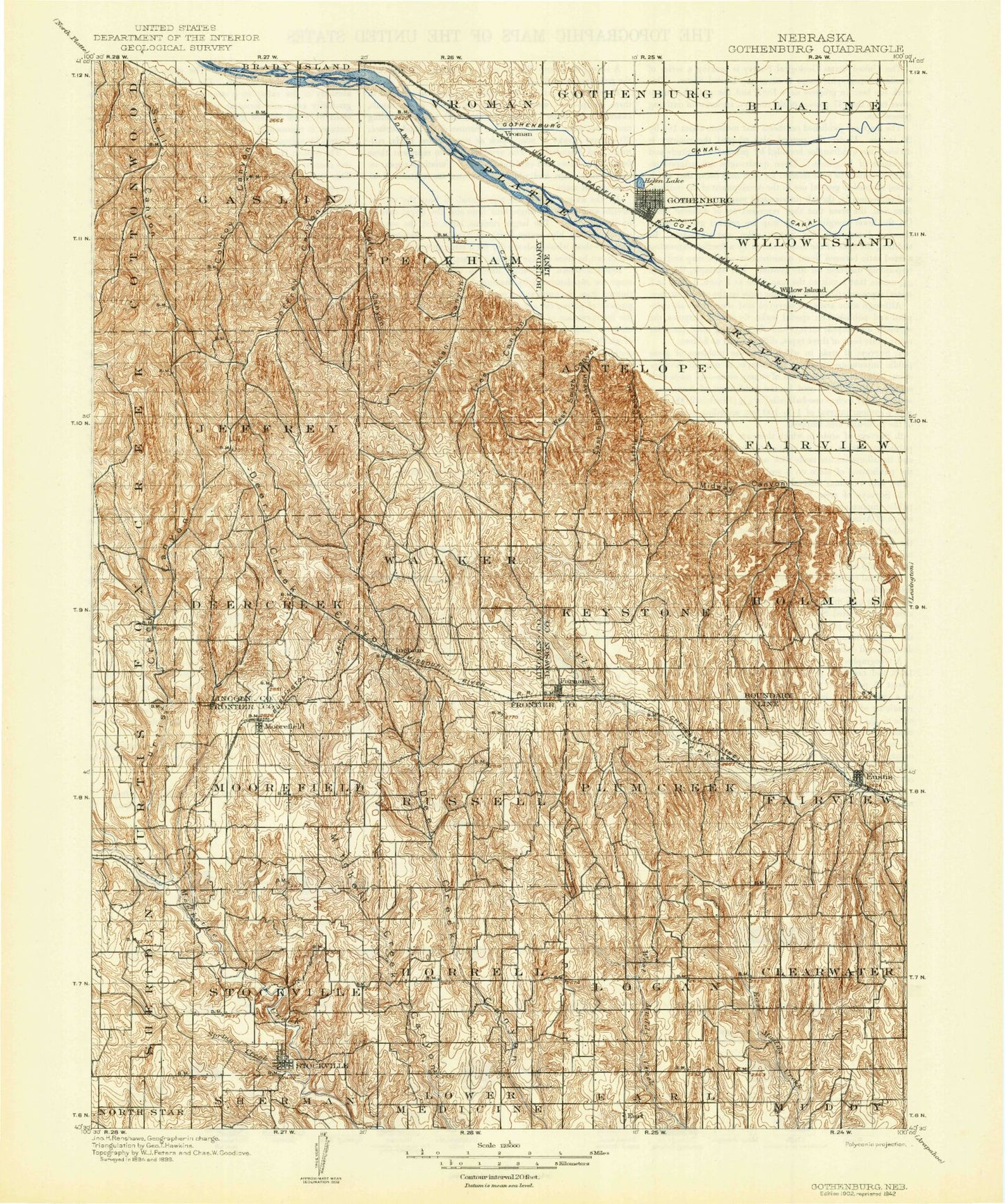
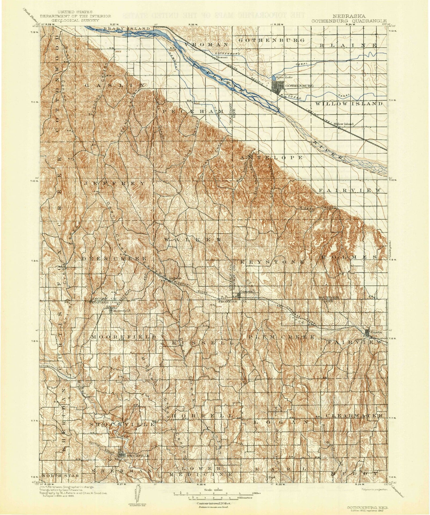
Historical USGS topographic map of Gothenburg in the state of Nebraska. Scale: 1:125000. Print size: 17" x 24"
This map was published in 1902 and is in the following counties: Dawson, Frontier, Lincoln.
The map contains contour lines, roads, rivers, towns, streams, and lakes. Printed on high-quality waterproof paper with UV fade-resistant inks.
Contains the following named places: Boston Ridge School, Buffalo Creek, Camp Comeca, Camp Rockhaven, Cedar Creek, Central Midway Lake, Chester Island, Conroy Canyon, Coyote Creek, Cozad Canal, Curtis Creek Canyon, Dempcy Draw, Dry Creek, East Curtis Creek Canyon, East Deer Creek Canyon, East Fork Dry Creek, East Midway Lake, East Muddy Creek, East Smith Canyon, Elm Creek, Eustis, Farnam, Fox Creek, German Creek, Gilman Canyon, Gothenburg, Gothenburg Canal, Gulch Canyon, Lake Helen, Hiles Canyon, Horseshoe Canyon, Jeffrey Canyon, Jeffrey Reservoir, Lafayette Park, Liberty School, Midway Canyon, Midway Lake Recreational Grounds, Moorefield, North Plum Creek, Orchard Alfalfa Canal, Saunders Canyon, Sixmile Canal, Snell Canyon, Spring Creek, Stockville, Thirtymile Canal, Tobiassen Draw, Tree Canyon, Tri County Supply Canal, Weiden School, West Midway Lake, West Smith Canyon, Wild Horse Valley, Willow Island, Willow Island, Vroman, Frontier County, Elson Detention Dam 1-N, Elson Detention Reservoir 1-N, Davis Dam, Davis Reservoir, Houser Dam Number 1, Houser Reservoir Number 1, Wintermute Dam, Wintermute Reservoir, Hinton Dam, Hinton Reservoir Number 1, Elson Detention Dam 1-S, Elson Reservoir Number 1-S, Lower Medicine Creek Dam 200, Medicine Creek Reservoir 200, Earth Dam-Canal Mile 51 Dam, Earth Dam-Canal Mile 408 Dam, Earth Dam-Canal Mile 52 Dam, Earth Dam-Canal Mile 515 Dam, Earth Dam-Canal Mile 505 Dam, Earth Dam-Canal Mile 483 Dam, Earth Dam-Canal Mile 479 Dam, Earth Dam-Canal Mile 475 Dam, Earth Dam-Canal Mile 461 Dam, Earth Dam-Canal Mile 427 Dam, Earth Dam-Canal Mile 228 Dam, Earth Dam-Canal Mile 20 Dam, Earth Dam-Canal Mile 177 Dam, Earth Dam-Canal Mile 164 Dam, Earth Dam-Canal Mile 158 Dam, Earth Dam-Canal Mile 156 Dam, Harper Dam, Harper Reservoir, Dawson Company Road Dam Number 1, Dawson Company Road Dam Reservoir Number 1, Dawson Company Road Dam Number 2, Dawson Company Road Dam Reservoir Number 2, Farnam Dam, Farnam Reservoir, Frontier County Road Dam Number 1, Frontier County Road Reservoir Number 1, Gardner Dam, Gardner Reservoir, Hess Dam, Hess Reservoir, Hueftle Dam, Hueftle Reservoir, Klein Dam, Klein Reservoir, Koch Dam-1 Dam, Koch Reservoir, Walther Dam, Walther Reservoir, Dawson County Road Dam Number 8, Dawson Company Road Dam Reservoir Number 8, Dawson County Road Dam Number 9, Dawson Company Road Dam Reservoir Number 9, Krone Dam, Krone Reservoir, Wiggins Dam, Wiggins Reservoir, Yeutter Dam, Yeutter Reservoir, Young Dam, Young Reservoir, Berke Dam, Berke Reservoir, Campbell Dam, Campbell Reservoir, Koch Dam-2 Dam, Koch Reservoir, Schurr Dam Number 1, Schurr Reservoir Number 1, Schurr Dam Number 2, Schurr Reservoir Number 2, Gothenburg Diversion Dam, Gothenburg Diversion Dam Reservoir, Ruggles Dam, Ruggles Reservoir, Farr, Jeffrey Canyon State Wildlife Management Area, Chester Island State Wildlife Management Area, Kingston, Dancing Leaf Earth Lodge, Frontier County Fairground, Moorefield, Farmers Cooperative Association Elevator, Eustis, Arrowhead Meadow Golf Course, Township of Clearwater, Township of Curtis, Township of Fairview, Township of Horrell, Township of Logan, Township of Moorefield, Township of Plum Creek, Township of Russell, Township of Sheridan, Township of Stockville, Ingham Historical Marker, Stockville Historical Marker, Willow Island, Township of Gothenburg, Township of German, Farnam, Township of Fairview, East Willow Island State Wildlife Management Area, West Cozad Lake, West Cozad State Wildlife Management Area, Willow Island State Wildlife Management Area, Blue Heron State Wildlife Management Area, Farmland Service Coop Incorporated Elevator, Nebraska Salt and Grain Company Elevator, Gothenburg, Lake Helen Recreation Area, Midway Pony Express Station, Gothenburg KOA Campground, Legion Ball Park, Lafayette Park Campground, E G West Park, Ehmen Park, Veterans War Memorial, Gothenburg Golf Course, Wild Horse Golf Club, Swedish Crosses Cemetery Historical Marker, Township of Farnam, Township of Willow Island, Brady Election Precinct, Clearwater Election Precinct, Curtis Election Precinct, Fairview Election Precinct, Fairview Election Precinct, Farnam Election Precinct, Gothenburg Election Precinct, Horrell Election Precinct, Logan Election Precinct, Moorefield Election Precinct, Plum Creek Election Precinct, Russell Election Precinct, Sheridan Election Precinct, Stockville Election Precinct, City of Gothenburg, Village of Eustis, Village of Farnam, Village of Moorefield, Village of Stockville


