MyTopo
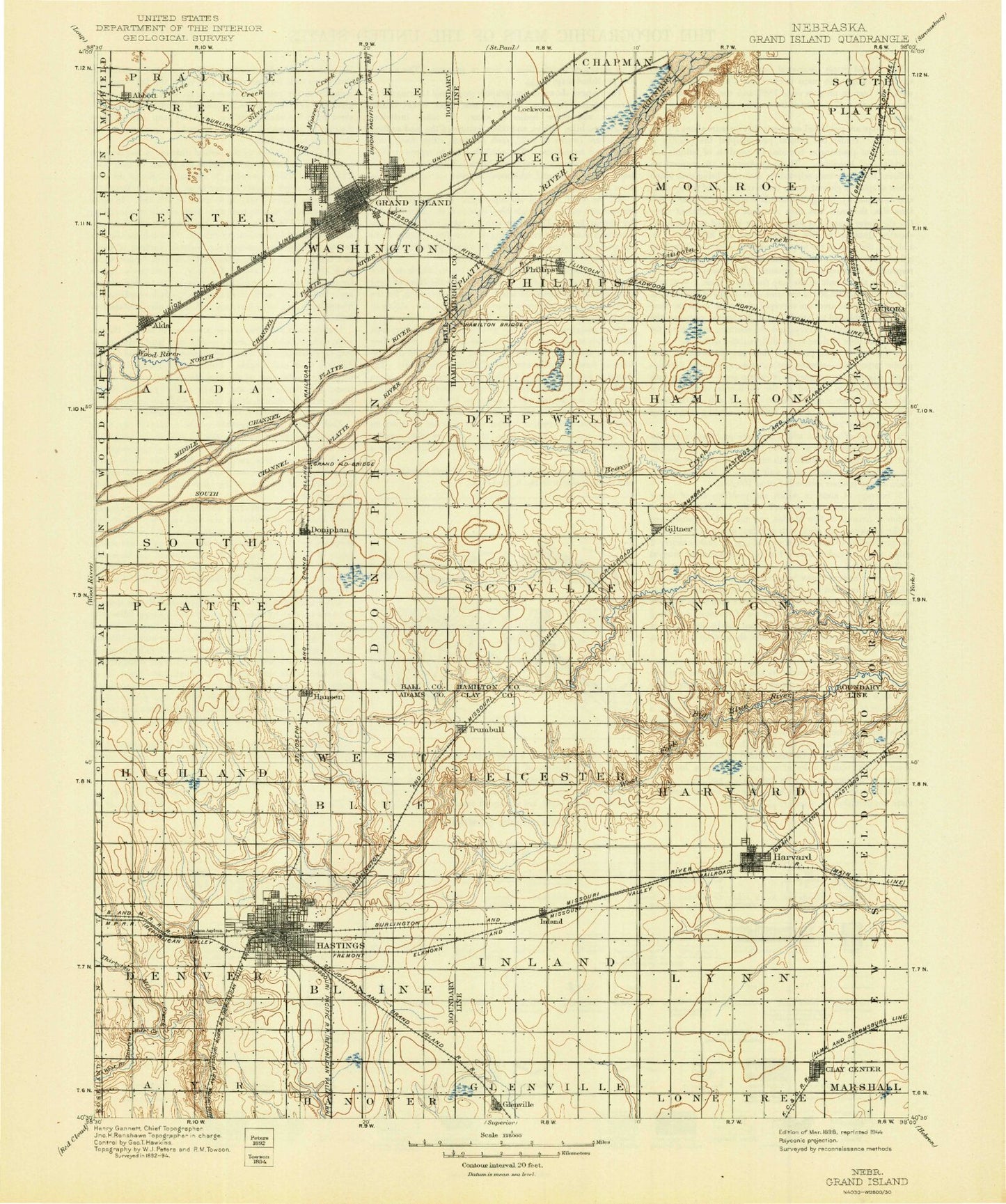
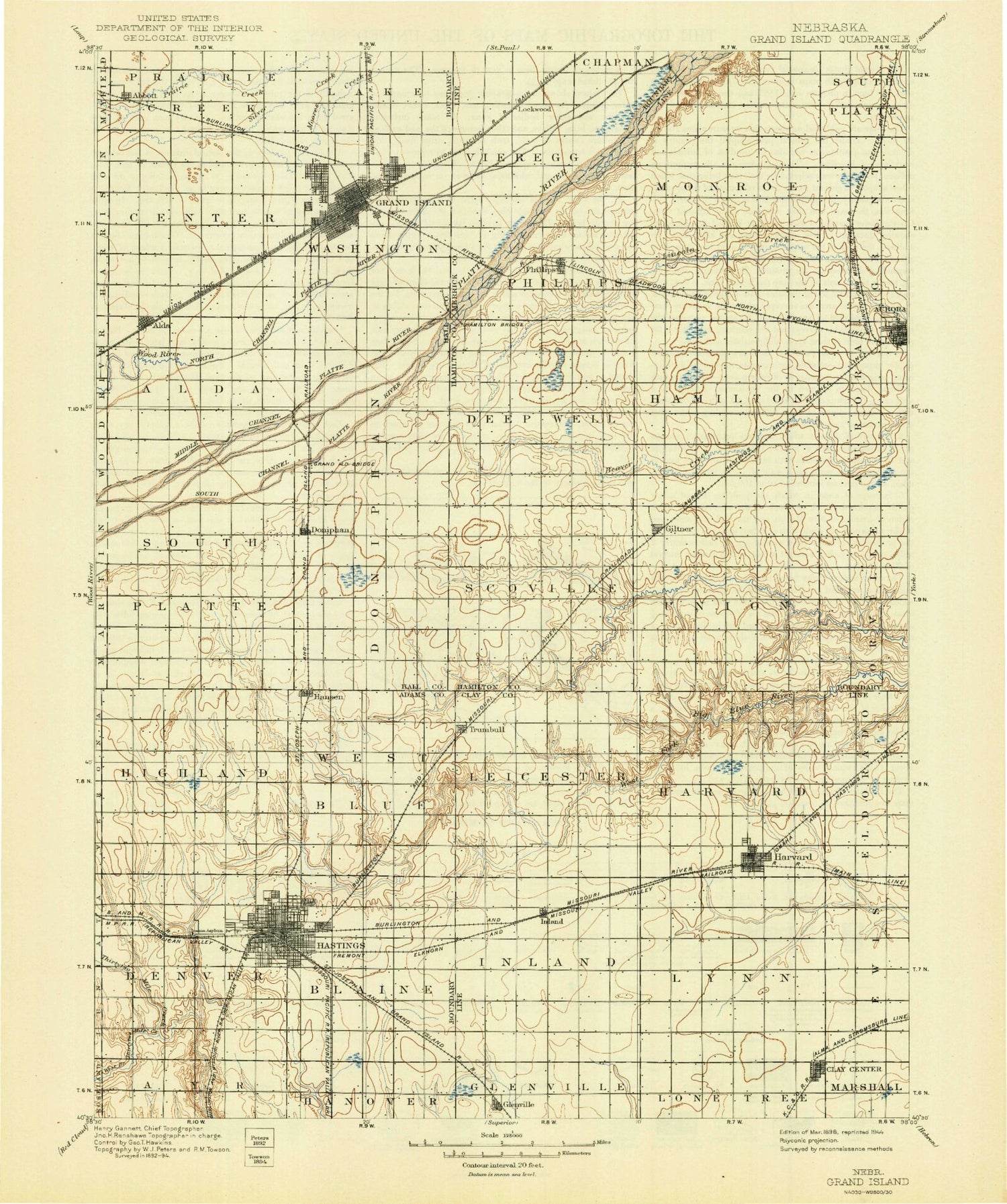
Historic 1898 Grand Island Nebraska 30'x30' Topo Map
Couldn't load pickup availability
Historical USGS topographic map of Grand Island in the state of Nebraska. Scale: 1:125000. Print size: 17" x 24"
This map was published in 1898 and is in the following counties: Adams, Clay, Hall, Hamilton, Merrick.
The map contains contour lines, roads, rivers, towns, streams, and lakes. Printed on high-quality waterproof paper with UV fade-resistant inks.
Contains the following named places: Abbott, Abbott Park, Alda, Aurora, Ayr Lake, Buechler Park, Camp Augustine, Camp Cosmopolitan, Carter Park, Clay Center, Coles Park, Crystal Lake, Doniphan, Eagles Lake, Flat Creek, Giltner, Glenvil, Good Samaritan Village, Grand Island, Guendel Island, Hansen, Harms Park, Harvard, Harvard Marsh, Hastings, Heartwell Park, Highland Park, Indian Island, Inland, Izaak Walton League Park, Kernan Lagoon, Lake Hastings Park, Libs Park, Lincoln Park, McMurtrey Marsh, Middle Channel Platte River, Mormon Island, North Channel Platte River, Parkview, Phillips, Pier Lake, Pier Park, Pioneer Park, Prospect Park, Riverside Lake, South Channel Platte River, South Park, Stolley State Park, Streeter Park, Theesen Lagoon, Trumbull, Warm Slough, American Legion Park, West Branch Thirtytwo Mile Creek, Blaine, Halloran, Ingleside, Level, Lockwood, Muriel, Murphy, Ovina, Rosedale, Clay County, Hamilton County, Ashley Park, Ray Aquatic Park, Fonner Park, Ryder Park, Lions Park, Veterans Park, Cornhusker State Wildlife Management Area-Parcel Three, Cornhusker State Wildlife Management Area-Parcel Two, Lochland Country Club, Meadowbrook Golf Club, Riverside Country Club, Southern Hills Country Club, Woodland Country Club, Township of Alda, Township of Blaine, Township of Center, City of Clay Center, Township of Denver, Township of Doniphan, City of Grand Island, Township of Harvard, City of Hastings, Township of Highland, Township of Inland, Township of Leicester, Township of Lynn, Township of South Platte, Township of Vieregg, Township of Washington, Township of West Blue, Hultine Dam, Hultine Reservoir, Arnold Dam 1, Arnold Reservoir 1, Bish Dam, Bish Reservoir, Otto Dam, Deepwell Farms Reservoir, Kostal-Hawthorne Dam, Kostal-Hawthorne Dam, Mihm Dam, Mihm Reservoir, Kreutz Dam, Kreutz Reservoir, Hastings Dam, Lake Hastings, Hueske Dam, Hueske Reservoir, Wright Dam, Wright Reservoir, Lautenschlager Dam, Lautenschlager Reservoir, Edgerton Dam, Edgerton Reservoir, Trausch Bros Dam, Trausch Bros Reservoir, Thirty-Two Mile Creek Dam J, Thirty-Two Mile Creek Reservoir, Thirty-Two Mile Creek Dam H, Thirty-Two Mile Creek Reservoir, Hinrichs Dam, Hinrichs Reservoir, Kostal Dam, Kostal Reservoir, Hastings Nw Dam, Hastings Nw Reservoir, Loch Linda State Wildlife Management Area, Morman Island State Wildlife Management Area, Ovina, Kuesters Lake, Bob Sorenson Softball Complex, Platt-Duetsche Softball Fields, Vanosdall Softball Fields, Augustine Park, Memorial Park, Abbott, Grand Island, Lake Davis, College Park, Aurora Cooperative Elevator Company, B and R Grain Incorporated Elevator, Kingwood Estates, Pioneer Estates, West Park Plaza Mobile Home Park, George H Clayton Campground, George Clayton Hall County Park, L E Ray Lake, Grand Island Heritage Zoo, Island Oasis Water Park, Fonner View Golf Course, Grand Island Municipal Golf Course, Indianhead Golf Club, Grand Island Mall, Conestoga Mall, Isle de Grand Shopping Center, Northside Fun Park, Capital Heights Park, George Park, Eagle Scout Park, Schuff Park, Sothman Park, Sprague Park, Broadwell Park, Grand Island - State Street Trail, Saint Joseph and Grand Island Railroad Historical Marker, Do-Mar Mobile Home Park, Alda, Junctionville Marker, Campbell Gravesite and Monument, Old Fort Kearney Road Historical Marker, Sandhill Cranes Historical Marker, Conflict of 1867 Historical Marker, Crane Meadows Nature Center, Martin Brothers Historical Marker, Martin Brothers Memorial, Morman Trail Historical Marker, O K Store Historical Marker, Pioneer Park Historical Marker, Lincoln Memorial Highway Historical Marker, LaGrande Isle Historical Marker, Ermas Desire Sculpture, Grand Island Historical Marker, Grand Island Rest Area - Eastbound, Grand Island Rest Area - Westbound, Bader Memorial Park, Township of Phillips, Township of Scovill, Township of Deep Well, Murphy, Springer Federal Waterfowl Production Area, Deep Well State Wildlife Management Area, Gadwall State Wildlife Management Area, Phillips, Heartland Cooperative Elevator, Giltner, Aurora Mall, Aurora Cooperative Elevator Company Elevator, Township of Monroe, Township of Union, Township of Hamilton, Modern Motel and Trailer Park, Village Square Mall, Streeter Park Campground, Aurora, Hamilton County Fairgrounds, Deep Well Irrigation Historical Marker, Central Park Square, Hamilton County Courthouse Historical Marker, Grand Island RV Park, Aurora Cooperative Elevator Company Elevator, Harvard, Harvard Federal Waterfowl Production Area, Heartland Co-op Elevator, Trumbull, Theesen Federal Waterfowl Production Area, Harvard City Park, Harvard Historical Marker, Inland, Glenvil, Roman L Hruska United States Meat Animal Research Center, Aurora Cooperative Elevator Company Elevator, Crooked Creek Country Club, Clay Center Historical Marker, Clay County Fairground, Brick Yard, Level, Prairie Lake State Recreation Area, Industrial Park East, Industrial Park North, Industrial Park West, Hastings


