MyTopo
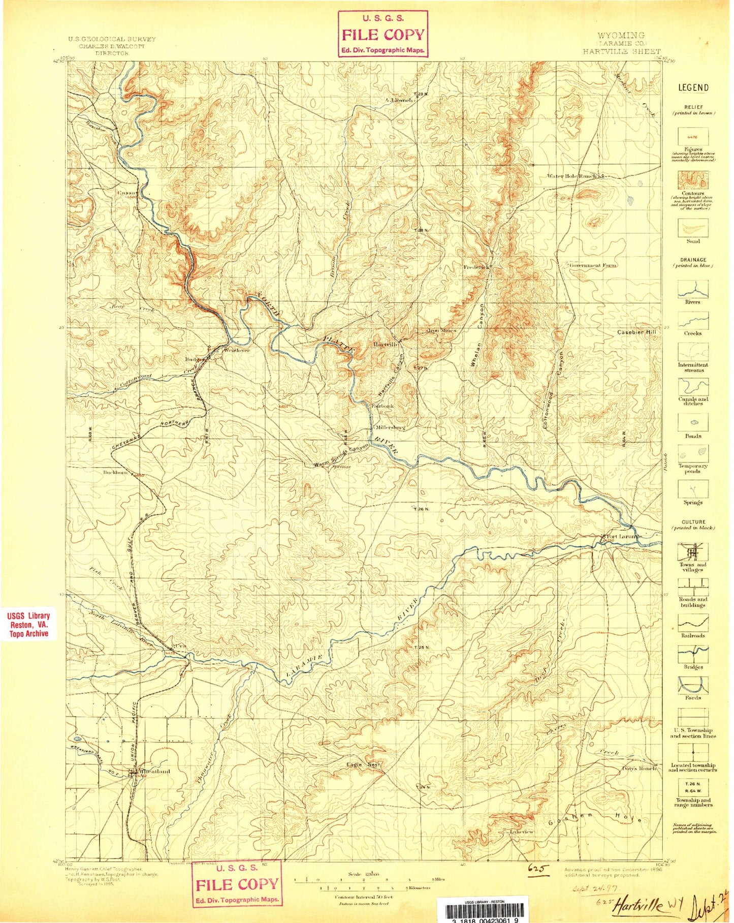
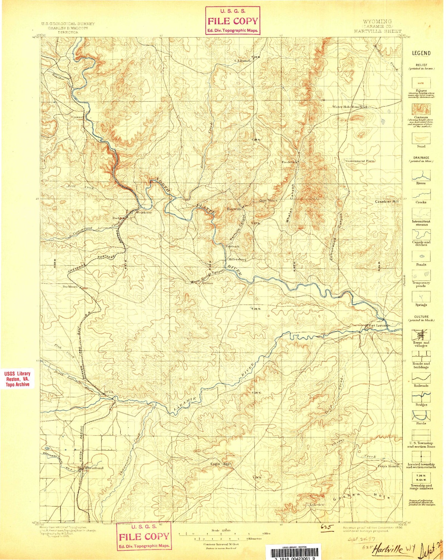
Historic 1896 Hartville Wyoming 30'x30' Topo Map
Couldn't load pickup availability
Historical USGS topographic map of Hartvillein the states of Wyoming, Nebraska, Colorado. Scale: 1:125000. Print size: 17" x 24"
This map was published in 1896 and is in the following counties: Goshen, Platte.
The map contains contour lines, roads, rivers, towns, streams, and lakes. Printed on high-quality waterproof paper with UV fade-resistant inks.
Contains the following named places: Laramie River, 4 J Canyon, Anderson Ranch, Antelope Gap, Antelope School, Baldy, Baldy Mountain, Bard Ranch, Bass Ranch, Baxter Ranch, Bettelyoun Flats, Big Sand Draw, Black Canyon, Blevin Ranch, Bohnstead Draw, Boner Ranch, Brimmer Point, Britain Draw, Brownrigg Ranch, Buckshot Draw, Bulls Bend, Number 2 Canal, Casebier Hill, Chicago Mine, Chicago Mine Hill, Chugwater Creek, Clair Milton Ranch, Cold Spring Campground, Cottonwood Draw, County Line Draw, Crescent Basin, Davis Bay, Deadhorse Canyon, Deadmans Gulch, Dearcorn Draw, Divinie Draw, Don Cundall Ranch, Eagles Nest, Eagles Nest Canyon, Emma Ranch, Ferguson Ranch, Festo Lake, Fish Canyon, Floyd Damrow Ranch, Fort Laramie, Fred Damrow Ranch, Frederick Ranch, Frederick Ranch, Garnet Hill, Glendo Dam, Good Fortune Mine, Grant Agnew Draw, Graves Ranch, Greenhope Mine, Gross Reservoir, Guernsey, Gyp Flat, Hartville, Hartville Canyon, Haushar Ranch, Haystack Range, Hazelwood Ranch, Herman Ranch, Highline Ditch, Hooley Reservoir, Hoy Ranch, J Brown Ranch, Johnson Ranch, Jones Lake, K Brown Ranch, Kimble Ranch, Lauk-stein Ruins, Little Cottonwood Creek, Little Cottonwood Draw, Little Deer Creek, Long Canyon, McCann Pass, McGinnis Pass, McNutt Ranch, Meyers Ranch, Middle Bear Creek, Milton Ranch, Molly Fork, Moody Community Club, Moore Spring Hills, Newell Bay, Newell Ranch, North Bear Creek, Old 4 J Ranch, Old Guernsey Ranch, Ollie Damrow Ranch, Osborn Ranch, Patten Creek, Patten Creek School, Paul Cundall Ranch, Pepper Ranch, Phifer Ranch, Pine Hill, Pine Ridge Creek, Porter Rock, Powell Mountain, Pugsley Ranch, Ragan Draw, Red Cloud Picnic Ground, Rock Creek, Rocky Pass, Ross Ranch, Round Top, Russel Ranch, Sam Draw, Sand Draw, Sand Draw, Seward Pass, Sixmile Creek, Smith Ranch, Sommers Ranch, South Bear Creek, South Fork Sand Draw, Spotted Tail Picnic Ground, Spring Creek, Stokes Siding, Stroda Draw, Stroda Point, Sudbury Ranch, Sunrise, Twiford Reservoir, Twin Hills, Uva, Uva Ditch, Vandra Ranch, Webb Canyon, Wells Ranch, Wendover, Wendover Bend Ranch, Wendover Canyon, West Ranch, Whalen Canyon, Whalen Diversion Dam, Wheatland Creek, Ayers Draw, Cottonwood Draw, Sparks Canyon, Warm Springs Canyon, Fort Laramie National Historic Site, Mummy Mountain, Cassa, Crane, Curtis, Dwyer, Dwyer Junction, Emigrant Hill, Gibson, Muthart Place, Sibylee, Sunrise Hill, Whiting, Fish Creek, Horseshoe Creek, North Laramie River, Cottonwood Creek, Platte County, Burlington Northern Tunnel Number 1, Burlington Northern Tunnel Number 2, Burlinton Northern Tunnel Number 3, Laramie River Ditch Number 1, Sandercock Dam, N Laramie Land Company Number 3 Dam, Sandercock Number 3 Dam, Sandercock Reservoir, Detention Pine Ridge 1 Dam, Detention Case Bier 1 Dam, Detention Reservoir Case Bier 1, Walsh Dam, Walsh Reservoir, McComb Dam, McComb Reservoir, Damrow Dam, Damrow Reservoir, Glendo Dam, Guernsey Dam, Mbpp Raw Water Storage Dam, MBPP Storm Runoff Retention Reservoir, MBPP Storm Runoff Retention Dam, Glendo Dike Number 1 Dam, Glendo Dike Number 2 Dam, Glendo Dike Number 3 Dam, Grayrocks Dam, Grayrocks Reservoir, City Ditch, Deer Creek, Doty Hill, Harmony Heights, Old Doty Ranch Site, Rockeagle, Horseshoe Butte, Long Gulch Dam, Long Gulch Reservoir, Reservoir Number Three, Twiford Dam, Guernsey Fish Pond Dam, Guernsey Fish Pond, Roath Dam, Roath Reservoir, Broom Creek, Goshen Hole, Hell Gap, Register Cliff, Sawmill Canyon, Wheatland, Guernsey Reservoir, Register Cliff Monument, Torrington Number One Mine, Chicago Prospect, Haystack Number One Claim, Haystack Number Two Claim, Minnie Claims, New York Prospect, Ruth Prospect, White Star Prospect, Sunrise Mine, Guernsey Stone Quarry, Ingleside Quarries, Jehosophat Prospect, LT Sisson Dolomite Deposit, Pete Kiewit and Sons Mine, Copper Bottom Mine, Chugcreek, Y-O Ranch, Guernsey Division, Town of Fort Laramie, Town of Guernsey, Town of Hartville, Town of Wheatland, Goshen Hole, Laramie River


