MyTopo
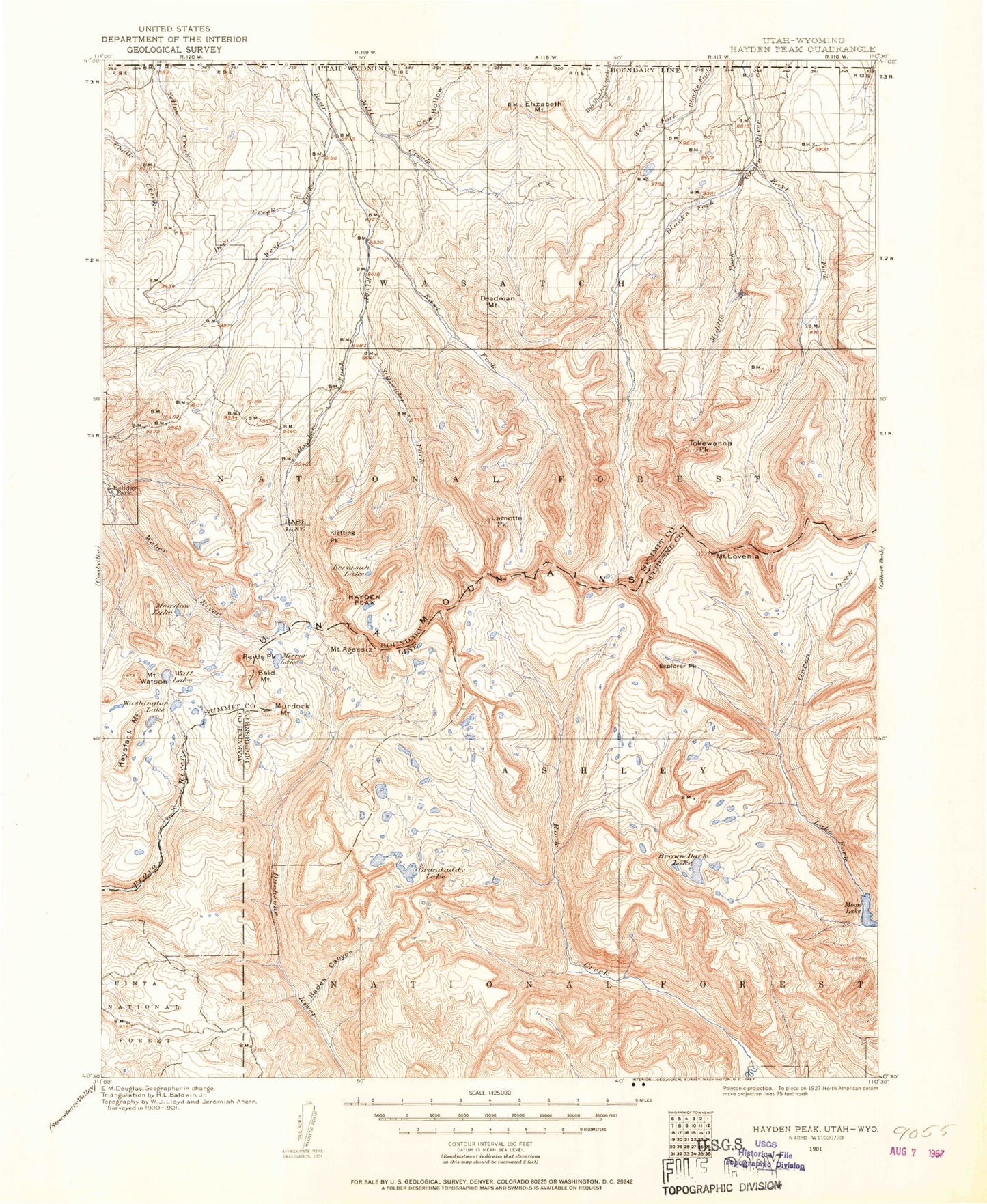
Historic 1901 Hayden Peak Utah 30'x30' Topo Map
Couldn't load pickup availability
Historical USGS topographic map of Hayden Peak in the state of Utah. Scale: 1:125000. Print size: 17" x 24"
This map was published in 1901 and is in the following counties: Duchesne, Summit, Uinta, Wasatch.
The map contains contour lines, roads, rivers, towns, streams, and lakes. Printed on high-quality waterproof paper with UV fade-resistant inks.
Contains the following named places: Mount Agassiz, Alexander Lake, Allen Lake, Amy Lake, Arta Lake, Bedground Lake, Betsy Lake, Blue Lake, Brinton Meadow, Broadhead Lake, Brooks Lake, Brown Duck Basin, Bud Lake, Butterfly Campground, Butterfly Lake, Carl Lake, Carolyn Lake, Castle Cliffs Campground, Castle Rocks, Cataract Gorge, Clements Creek, Cleveland Pass, Cobble Creek, Dale Lake, Daynes Lake, Dean Lake, Duchesne Tunnel, East Basin, East Basin Creek, East Basin Pass, East Fork Duchesne River, East Fork Pinto Lake Trail, East Portal, East Slide Lake, Farney Lake, Faxon Lake, Fern Lake, Fish Hatchery Lake, Four Lakes Basin, Gatman Lake, Gladys Lake, Grandaddy Lake, Grandview Transfer Camp, Hades Campground, Hades Canyon, Hades Creek, Hades Lake, Hades Pass, Hayden Pass, Hayden Peak, Heart Lake, Highline Trail, Hoover Lake, Hyatt Lake, Iron Mine Creek, Iron Mine Lake, Iron Mine Mountain, Jean Lake, Jeff Lake, Jordan Lake, Kermsuh Lake, LaMarla Lake, Lake Basin, Lambert Lake, Lambert Meadow, Lambert Meadow, LeConte Lake, Lily Pad Lake, Little Pond, Lodgepole Lake, Lost Lake, Maba Lake, Margie Lake, Margo Lake, Marsell Canyon, Marsell Lake, McPheters Lake, Middle Basin, Mill Flat, Mohawk Lake, Morat Lakes, Naturalist Basin, Olga Lake, Ostler Peak, Packard Lake, Palisade Lake, Picture Lake, Pine Island Lake, Pinto Lake, Powell Lake, Rainbow Lake, Range Lake, Rocky Sea Pass, Rosalie Lake, Ryder Lake, Shadow Lake, Shale Creek, Shale Lake, Shaler Lake, Skinner Cutoff Trail, Slope Trail, Smooth Rock Falls, Sonny Lake, Splash Dam Lake, Spread Eagle Peak, Spruce Springs Reservoir, Stewart Lake, Survey Lake, Swift Creek, The East Slope, The West Slope, Three Lakes, Trail Hollow, Twin Lakes, Uintah Lake, Upper Ottoson Lake, West Grandaddy Mountain, West Park, West Portal, Wyman Lake, Clements Lake, Clements Lake Dam, Del Monte Mine, Cobblerest Campground, Iron Mine Campground, Mill Flat Campground, A-1 Peak, Allsop Lake, Amethyst Basin, Amethyst Lake, Anderson Lake, Aspen Lake, Atwine Creek, Atwine Lake, Audry Lake, Azure Lake, Baker Lake, Bald Mountain, Bald Mountain, Bald Mountain Overlook, Baum Lake, Bear Lake, Bear River Campground, Bear River Ranger Station, Bear River Smiths Fork Trail, Beaver Lake, Beaver View Campground, Bench Lake, Bench Lake, Beth Lake, Mount Beulah, Big Dog Lake, Big Ridge, Black Lake, Blizzard Lake, Blue Lake, Blythe Lake, Bonnie Lake, Booker Lake, Boot Lake, Boundary Creek, Bourbon Lake, Brinkley Lake, Broadwater Meadows, Brown Duck Basin, Brown Duck Creek, Brown Duck Lake, Brown Duck Mountain, Brush Creek, Buck Pasture, Buckeye Lake, Burnt Ridge, Burts-Miller Ranch, Cabin Creek, Cabin Lake, Camp Steiner, Carrot Hollow, Carter Creek, Castle Lake, Cataract Basin, Cataract Creek, Christmas Meadows, Christmas Meadows Campground, Christmas Tree Creek, Clegg Lake, Cleveland Lake, Cleveland Peak, Clyde Lake, Continent Lake, Cow Hollow, Coyote Hollow, Crater Lake, Crystal Lake, Cuberant Lake, Cutthroat Lake, Cyclone Pass, Dead Horse Lake, Dead Horse Pass, Deadman Creek, Deadman Mountain, Deadman Pass, Dean Lake, Deer Creek, Diamond Lake, Diamond Lake, Docs Lake, Doug Lake, Dry Canyon, Dry Fork, Dry Ridge, Duck Lake, East Fork Bear River, East Fork Bear River Camp, East Fork Blacks Fork, East Fork Blacks Fork Guard Station, East Fork Campground, East Fork Moffit Creek, East Fork Rock Creek, East Grandaddy Mountain, Echo Lake, Elizabeth Lake, Elizabeth Mountain, Elizabeth Pass, Emerald Lake, Evermann Lake, Explorer Peak, Fall Creek, Fall Lakes, Fehr Lake, Fir Lake, Fish Creek, Fish Lake, Fish Lake, Florence Creek, Francis Lake, Gardners Fork


