MyTopo
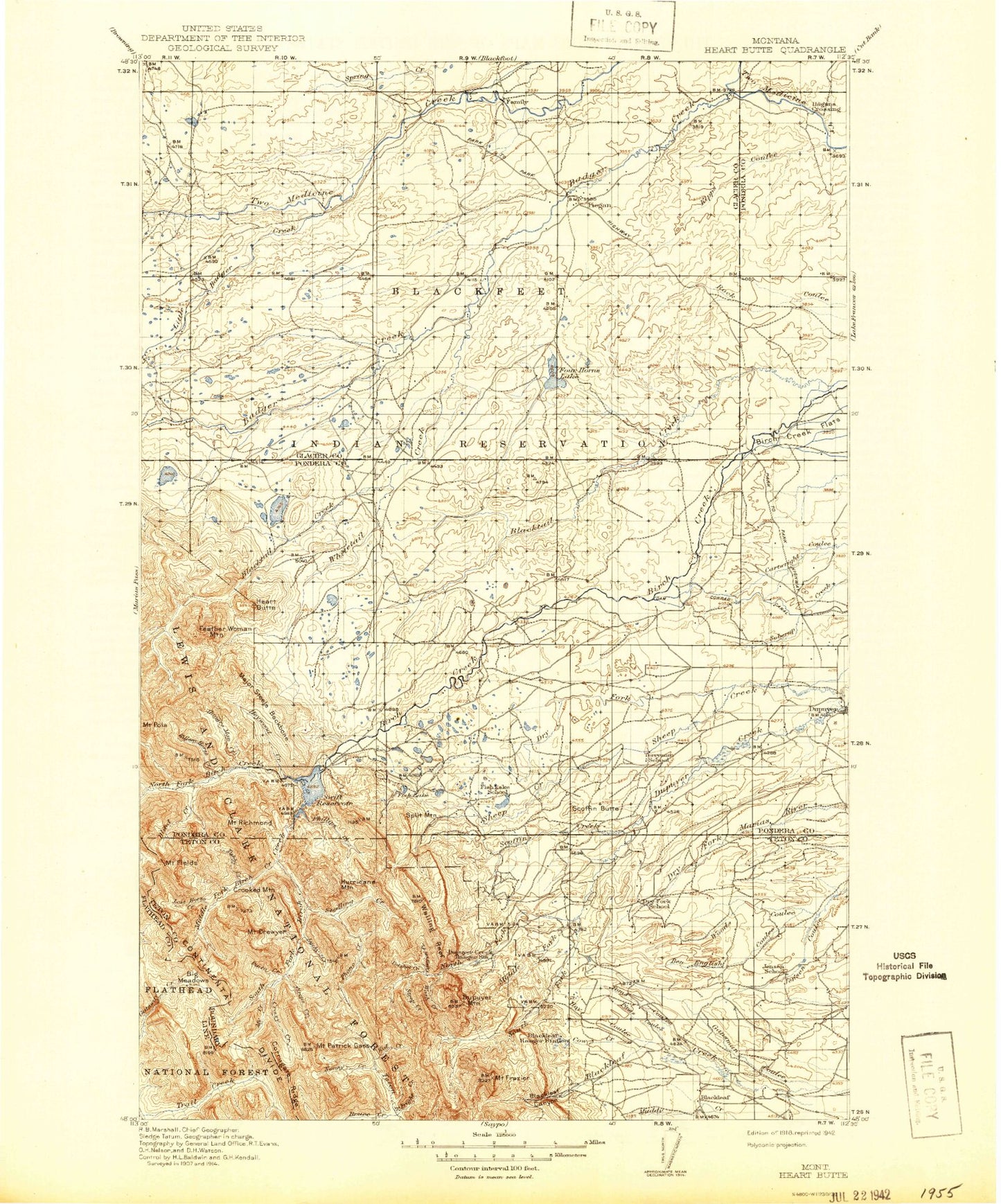
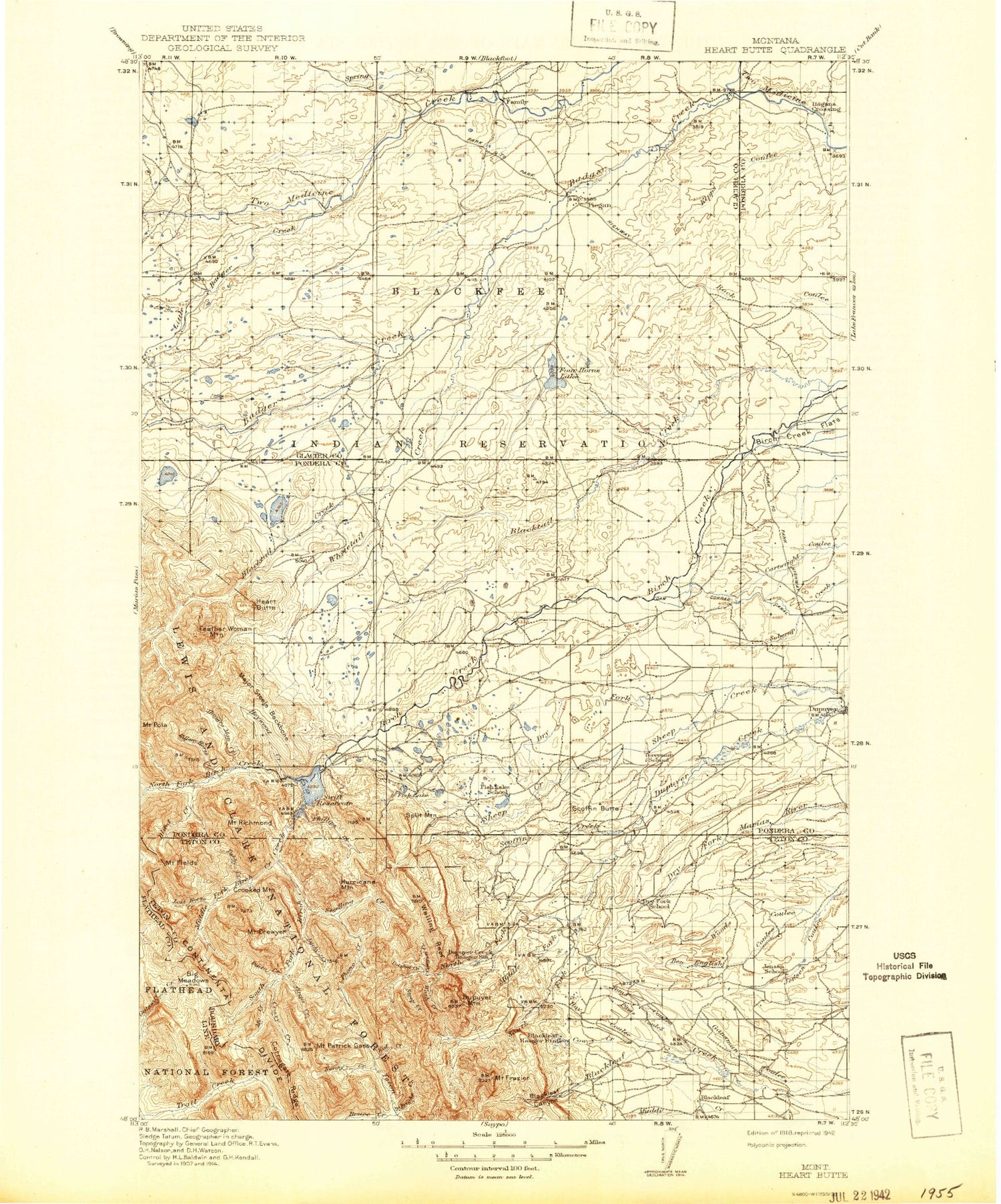
Historic 1918 Heart Butte Montana 30'x30' Topo Map
Couldn't load pickup availability
Historical USGS topographic map of Heart Butte in the state of Montana. Scale: 1:125000. Print size: 17" x 24"
This map was published in 1918 and is in the following counties: Flathead, Glacier, Pondera, Teton.
The map contains contour lines, roads, rivers, towns, streams, and lakes. Printed on high-quality waterproof paper with UV fade-resistant inks.
Contains the following named places: B Canal, Big Nose Coulee, Big Plum Coulee, Birch Creek Main Canal, Birch Creek Rodeo Ground, Blackleaf, Cartwright Coulee Ditch, Dean Burd Leach Ditch, Four Horns Feeder Canal, Four Horns Outlet Canal, Hagans Crossing, Heart Butte, Jackson Coulee, Kingsbury Ditch, Kipps Coulee, Magee Ranch, Piegan, Piegan Canal, Rocky Ridge, Ryan Lauffler Ditch, Scoffin Butte, Spring Creek, Tail Feather Coulee, Tedson Reservoir, Thomas Williamson Ditch, Twin Lakes, White Man Coulee, Whitecalf Coulee, Whitetail Creek, Woods Coulee, Badger Creek, Ben English Coulee, Bennie Creek, Bennie Hill, Big River Meadows, Bighorn Mountain, Blackleaf Canyon, Blackleaf Creek, Blacktail Creek, Blind Creek, Bloody Hill, Bum Shot Mountain, Canyon Creek, Circus Creek, Cody Lake, Corrugate Ridge, Cow Creek, Crazy Creek, Crooked Mountain, Eagle Creek, Feather Woman Mountain, Field Creek, Mount Field, Fish Creek, Fish Lake, Mount Frazier, Fright Creek, Gansman Coulee, Gateway Cabin, Gateway Gorge, Gateway Pass, Gateway Points, Happy Creek, Haywood Creek, Heart Butte, Horn Lake, Howes Lakes, Hoy Coulee, Hoy Gulch, Hungry Man Creek, Hurricane Mountain, Jeff Creek, Judy Creek, Kid Creek, Killem Horse Creek, Lake Creek, Lenstra Creek, Little Badger Creek, Lookout Ridge, Lost Horse Creek, Major Steele Backbone, Middle Fork Birch Creek, Middle Fork Dupuyer Creek, Miller Ditch, Mitten Lake, Mount Drouillard, Mount Patrick Gass, Mowitch Basin, My Creek, Nanny Creek, North Fork Birch Creek, North Fork Dupuyer Creek, North Fork Sheep Creek, North Fork Whitetail Creek, Old Man of the Hills, Phillips Creek, Phone Creek, Pings Coulee, Pinky Creek, Pinto Creek, Mount Poia, Post Creek, Potshot Creek, Punch Creek, Mount Richmond, Rival Creek, Scoffin Creek, Mount Sentinel, Shin Creek, Small Creek, South Creek, South Fork Birch Creek, South Fork Blacktail Creek, South Fork Dupuyer Creek, South Fork Trail Creek, South Fork Whitetail Creek, Spike Creek, Split Mountain, Steedling Creek, Steep Creek, Swift Dam, Swift Reservoir, Toms Coulee, Tubby Creek, Twin Lakes, Volcano Reef, Waddel Lakes, Walling Reef, Washout Creek, Scott Ranch Dam, Green Lake Dam, Green Lake, Swift Dike, Four Horns Dam, Four Horns Lake, Twin Lake Dam, Rockport Colony Number 2 Dam, Rockport Colong Number 1 Dam, Floating Rib Dam, Tedson Reservoir Dam, Decarboxylation Dam, Decameter Dam, Fish Lake Dam, Theodore Roosevelt Memorial Ranch, Swift Dam Trailhead, Sawtooth Range, Captain Meriwether Lewis Historical Marker, Dupuyer Historical Marker, Hidden Lake, Deep Lake, Round Lake, Hagers Coulee, Jones Coulee, Bite Coulee, Hay Coulee, Magee Lake, Chief Mountain and Old North Trail Historical Marker, Blackfeet Reservation West Division, Valier-Dupuyer Division, Pondera County Waterfowl Production Area


