MyTopo
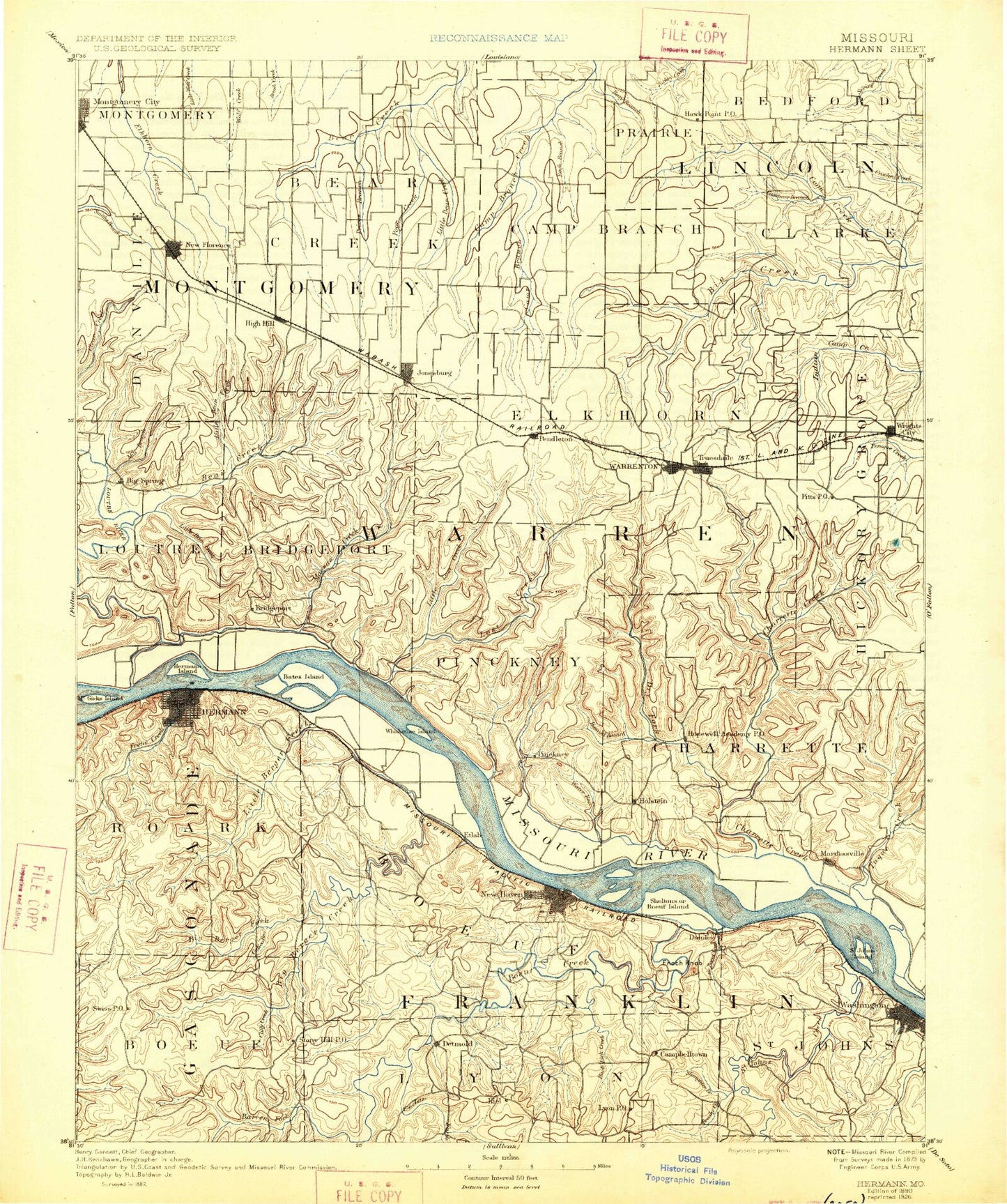
Historic 1890 Hermann Missouri 30'x30' Topo Map
Couldn't load pickup availability
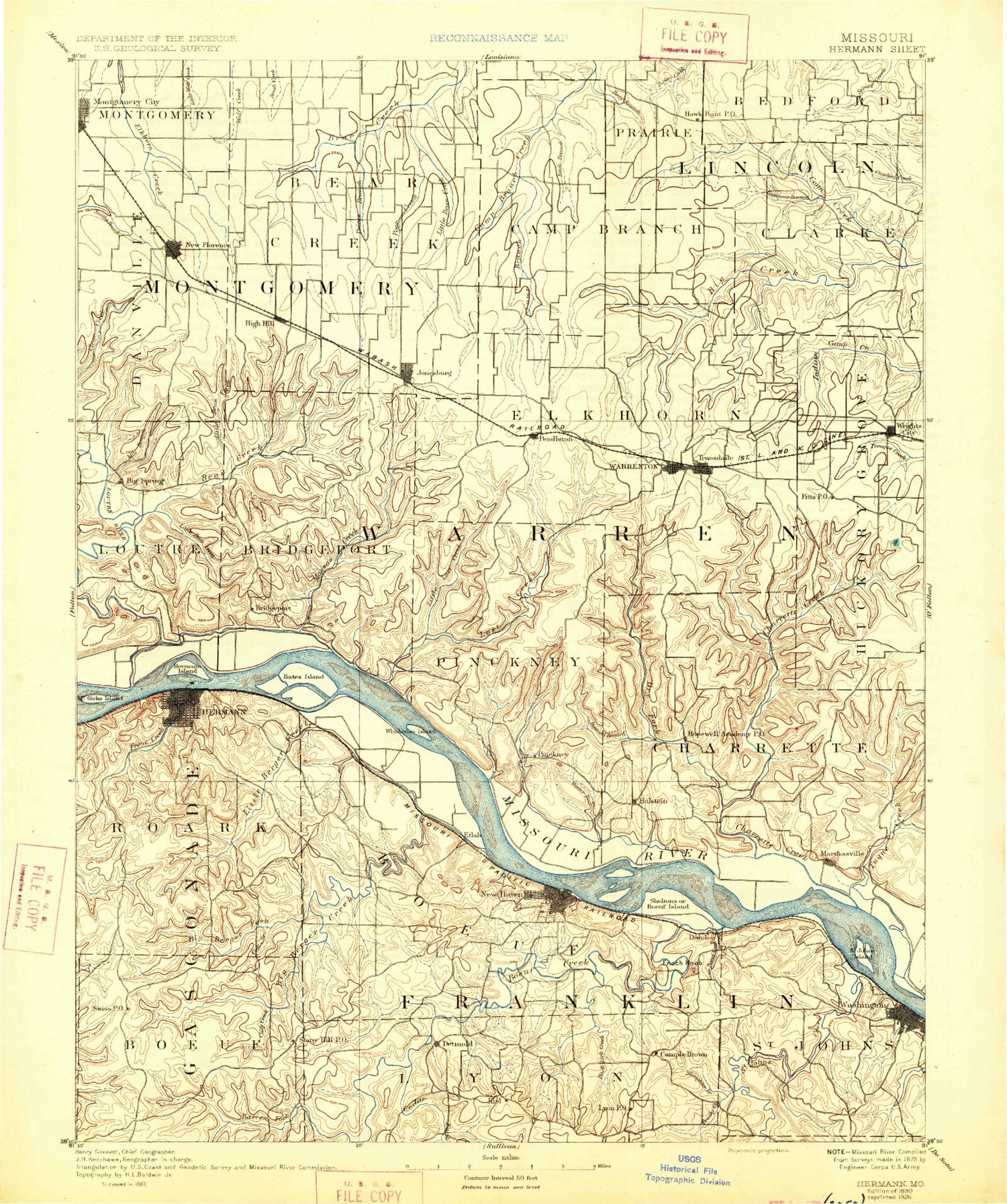
Historical USGS topographic map of Hermann in the state of Missouri. Scale: 1:125000. Print size: 17" x 24"
This map was published in 1890 and is in the following counties: Franklin, Gasconade, Lincoln, Montgomery, Warren.
The map contains contour lines, roads, rivers, towns, streams, and lakes. Printed on high-quality waterproof paper with UV fade-resistant inks.
Contains the following named places: Abe Hollow, American Legion Park, Aspenhoff, Bailey Branch, Baker Hollow, Big Branch, Big Branch, Big Creek Community Center, Big Spring, Calhoun Hollow, Camp Char-ren, Camp Sandy Hollow, Casmer Branch, Clark Branch, Clarks Branch, Clear Branch, Clear Branch, Clifty Creek, Cole Creek, Coleman Hollow, Coon Creek, Daniel Boone Memorial State Forest, Dead Hollow, Devils Den Hollow, Dissen, Donahue Ridge, Dry Fork, East Island, Enoch Knob, Etlah, Etlah Knobs, Forest Lake, Giesel Hollow, Goose Island, Greyham Hollow, Hall Hollow, Hawk Point, Hearse Creek, Hermann, High Hill, High Hill Camp, Hog Pen Hollow, Hopewell Creek, Horstman Creek, Howard Branch, Jack Hollow, Jones Branch, Jordan Hollow, Kaiser Hill, Kallmeyers Bluff, Kelly Hollow, Kirby Ridge, La Charrette Bottom, Lepp Hollow, Little Bear Creek, Little Bear Creek, Little Berger Creek, Little Boeuf Creek, Little Camp Sandy Hollow, Little Dry Fork, Logan Branch, Loutre Slough, Low Gap Hollow, Lyon, Marthasville, Mary White Hollow, McGirk Island, McKittrick, Meister Branch, Mill Creek, Millam Creek, Mud Creek, Muddy Creek, Negro Hill, New Truxton, North Fork Charrette Creek, Owl Creek, Pea Ridge, Peers, Peers Slough, Pendleton Gore Ridge, Pinckney Ridge, Pinnacle Creek, Polston Hollow, Poor Branch, Prairie Fork, Prices Branch, Prices Branch, Pryors Branch, Quick Creek, Razor Hollow, Reifsnider State Forest, Roadside Lake, Roundabout Hill, Saint Johns Island, Schlanker Branch, School Branch, See Tal Lake, Spring Branch, Stony Hill, Stuerman Branch, Swiss, The Pinnacle, Treloar, Turkey Branch, Turner Hollow, Utch Branch, Warrenton, Lake Warrenton, Water Run, Watkins Branch, Watkins Island, Whippoorwill Creek, Wildcat Creek, Wildwood Lakes, Wilson Hollow, Wolf Den Hollow, Yeater Branch, Bear Creek, Big Berger Creek, Fork Creek, Frene Creek, Jonesburg, Loutre River, New Florence, Pin Oak Community, Camp Sandy Creek, Yeater Prairie, Macedonia Neighborhood, Lippstadt Community, Clarks Hollow, Skunk Hollow, Crow Branch, Bridgeport, Bridgeport Landing, Wilsons Branch, Stuecken Branch, Cave Creek, Grand Canyon, Tuque Ridge, Baltimore Settlement, Berger, Boeuf Creek, Boeuf Island, Brushy Creek, Bucklick Creek, Camp Branch, Cedar Fork, Clover Bottom, Concord Hill, Cullum Branch, Daniel Boone Monument, Detmold, Dry Creek, Fourmile Corner, Henley Hollow, Hickory Lick Creek, Holstein, Hopewell, Kochs Creek, Kohl City, Krog Park, Little Lost Creek, Long Branch, Lost Creek, Massie Creek, Miller Island, New Haven, Pendleton, Pepplemeyer Branch, Rock Branch, Rush Island, Saint Johns Creek, Skunk Creek, Slaughter Branch, Smith Creek, Washington, Whisky Creek, Casselman Branch, Dry Fork, Pin Oak Creek, Tuque Creek, Starkey Hollow, Yeager Landing, Campbellton, Wright City, Truesdale, Little Berger, Bernheimer, Case, Dundee, Gore, Kiel, Pinckney, The Warren County Shopping Center, Little Lost Creek State Forest, Warrenton State Wildlife Area, Franklin County Country Club, Hermann Country Club, Calico Branch, College Creek, Lake Creek, Wolf Creek, Northeastern Ozarks, Boggs Lake, Heron Lake, Pinnacle Lake, Wonder Lake, Montgomery County, Warren County, Rhineland, Reid Lake Section 13 Dam, Givens Number 1 Lake, Stein Lake Dam, Stein Lake, Dogwood Lake Dam, Ramada Camp Inn Lake, Passionist Fathers Dam, Passionist Fathers Lake, Forest Lake Dam, Carl Dreyer Lake Dam, Carl Dreyer Lake, Cates Dam, Cates Lake, Domermuth Lake Dam, Number 220 Reservoir, Olive Ballas Realty Company Section 24 Dam, Boulanger Lake Dam, Dunn Lake Dam, Palazzo Lake Dam, N and W Railroad Section 19 Dam, Thiele Lake Dam, Crancers Lake Dam, Crancers Lake, Mononame 345 Dam, Johnson Lake Dam


