MyTopo
Historic 1901 Hermosa South Dakota 30'x30' Topo Map
Couldn't load pickup availability
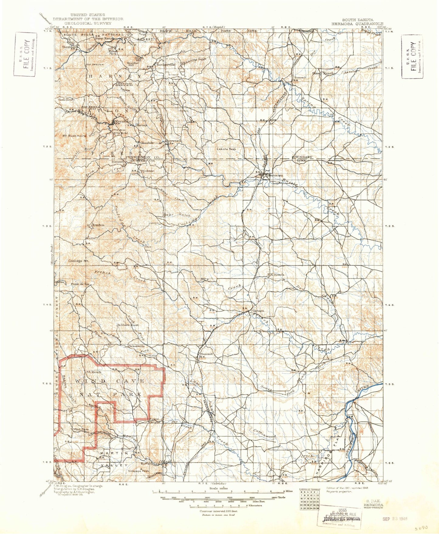
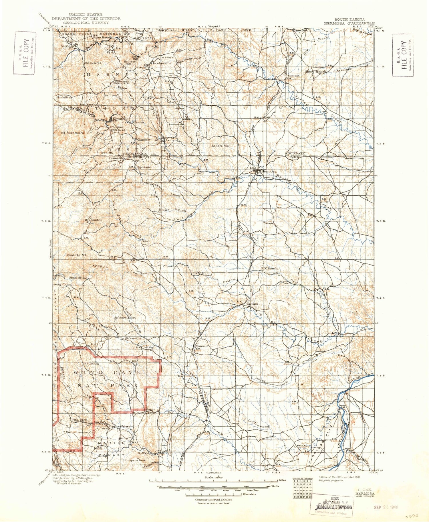
Historical USGS topographic map of Hermosa in the state of South Dakota. Scale: 1:125000. Print size: 17" x 24"
This map was published in 1901 and is in the following counties: Custer, Oglala Lakota, Pennington.
The map contains contour lines, roads, rivers, towns, streams, and lakes. Printed on high-quality waterproof paper with UV fade-resistant inks.
Contains the following named places: Black Gap, Brennan Hill, Coyote Draw, Dry Creek, Flattop Butte, Gobbler Knob, Moonshine Canyon, Murphy Ridge, Potato Butte, Prairie Chicken Draw, Reed Draw, Yankee Hill, Evans Number 1 Dam, Harrison Number 1 Dam, Beermug Dam, Ajax, Baker Park, Bald Hill, Bear Gulch, Billover Creek, Bison Flats, Bitter Creek, Black Hills Playhouse, Blacktail Creek, Bluelead Mountain, Bobcat Canyon, Bobtail Gulch, Boland Ridge, Boulder Hill, Buckeye Gulch, Bud Hill, Buffalo Gap, Butcher Hill, Calico Canyon, Calumet Mine, Calumet Ridge, Camp Remington, Center Lake, Clark Mountain, Clark Park, Clog Gulch, Cobb Ridge, Cold Spring Creek, Coon Hollow, Cottonwood Creek, Cottonwood Creek, Curley Canyon, Custer State Park, Custer State Park Headquarters, Cuyahogo Mine, Deadman Creek, Deadman Gulch, Doane Mountain, Dow Ridge, Dry Creek, Dry Creek, Dry Creek, Dry Creek, Dutch Creek, Eagle Mountain, Echo Peak, Edison Mine, Elk Mountain, Fairburn, Flynn Creek, Foster Gulch, Fuson Canyon, Galena Creek, Giltedge Mine, Gobbler Canyon, Gobbler Pass, Gobbler Ridge, Gordon Canyon, Gordon Gulch, Greyhound Gulch, Grizzly Bear Creek, Grizzly Bear Falls, Hardesty Peak, Harney, Harney Ranger Station, Harrison Flat, Highland Creek, Holy Smoke Mine, Holy Terror Mine, Horse Creek, Horse Thief Lake, Horsely Gulch, Hugo Mine, Hugo Mine, Ingersoll Peak, Iron Creek, Iron Mountain, Joe Dollar Gulch, Joe Dollar Mine, Johnson Gulch, Jolly Flats, Keystone, Lafferty Gulch, Lakota Peak, Lead Draw, Legion Lake, Limestone Canyon, Badger Clark Creek, Lookout Point, L Seven Draw, Mannhan Canyon, Martin Valley, Mica Mine, Mount Rushmore Memorial, Mount Rushmore National Memorial, Negro Canyon, Negro Wool Ridge, Norbeck Draw, Norbeck Lake, North Fork Bear Gulch, North Fork Lame Johnny Creek, Old Baldy Mountain, Peerless Mine, Pine Creek, Potato Gulch, Prairie Dog Canyon, Racetrack Butte, Rankin Ridge, Rattlesnake Mine, Reaves Gulch, Red Canyon, Red Hill, Rockerville, Rockerville Gulch, Rocky Gulch, Round Park, Samelias Peak, Sanson Ranch, Seven-11 Ranch, Sheep Camp Draw, Sheep Draw, Shorty Draw, Silver Mountain, South Fork Bear Gulch, South Fork French Creek, South Fork Lame Johnny Creek, Spiken Ridge, Spokane, Spokane Creek, Spokane Mine, Spring Canyon, Storm Hill, Streeter Ranch, Swint Creek, Tepee Gulch, Tepee Peak, Toll Gate Creek, Unkpapa Peak, Victoria Gulch, Walt Smith Canyon, Whiskey Gulch, Wildcat Canyon, Wind Cave Canyon, Windy Point, Zuber Ranch, Nobeck Dam, Legion Lake Dam, Center Lake Dam, Sheridan Lake Dam, Lakota Dam, Rasmussen Number 1 Dam, Smith Number 1 Dam, Triple Seven Number 1 Dam, Triple Seven Number 2 Dam, Gregorson Number 1 Dam, Ray E Smith Dam, Wilson Ranch Dam, Schnose Dam Number 1, Schnose Dam Number 2, Streeter Dam, Englebrecht Dam, Brophy Big Dam, Pioneer Park Ground, Lakota Lake, Iron Creek Summer Home Group, Southside Campground, Grizzly Creek Trail, Norbeck Trail, Willow Creek - Rushmore Trail, Black Elk Wilderness, Wind Cave National Park, Centennial Trail, North Cove Campground, Spring Creek Picnic Area, South Beach Campground, Northside Campground, Flume Trail, Horse Thief Lake Trail, Elkhorn Picnic Area, Horse Thief Lake Campground, Strato Rim Overlook Campground, Gold Hill, Horse Campground, Blue Bell Campground, French Creek Trailhead, Elk Mountain Campgrounds, West French Creek Primitive Campground, Center Lake Campgrounds, Woodpecker Ridge, Coolidge Inn, Iron Creek Horse Camp, Grizzly Bear Picnic Ground, Iron Creek Trail, Norbeck Memorial Overlook Recreation Site, Iron Mountain Trail, Blackberry Trail, Norbeck Memorial Overlook, Iron Mountain Picnic Area, East French Creek Primitive Campground, State Game Lodge, Burnt Ranch, Glendale Mine, Big Smoke Mine, Wood Tin Mine, Star Lode Mine, Tiger Lode Mine, Ponca Group Mine, Bismark-Ida Florence Group Mine, Nathaniel Pope Mine, Egyptian Group Mine, Bullion Mine, Columbia Mine, Lucky Boy Mine, Gold Hill Lode Mine, Sitting Bull Mine, Juniper Mine, Watson Mine, Big Hit Mine, Legal Tender Mine, Plate Mica Prospect Mine, King Mica Mine


