MyTopo
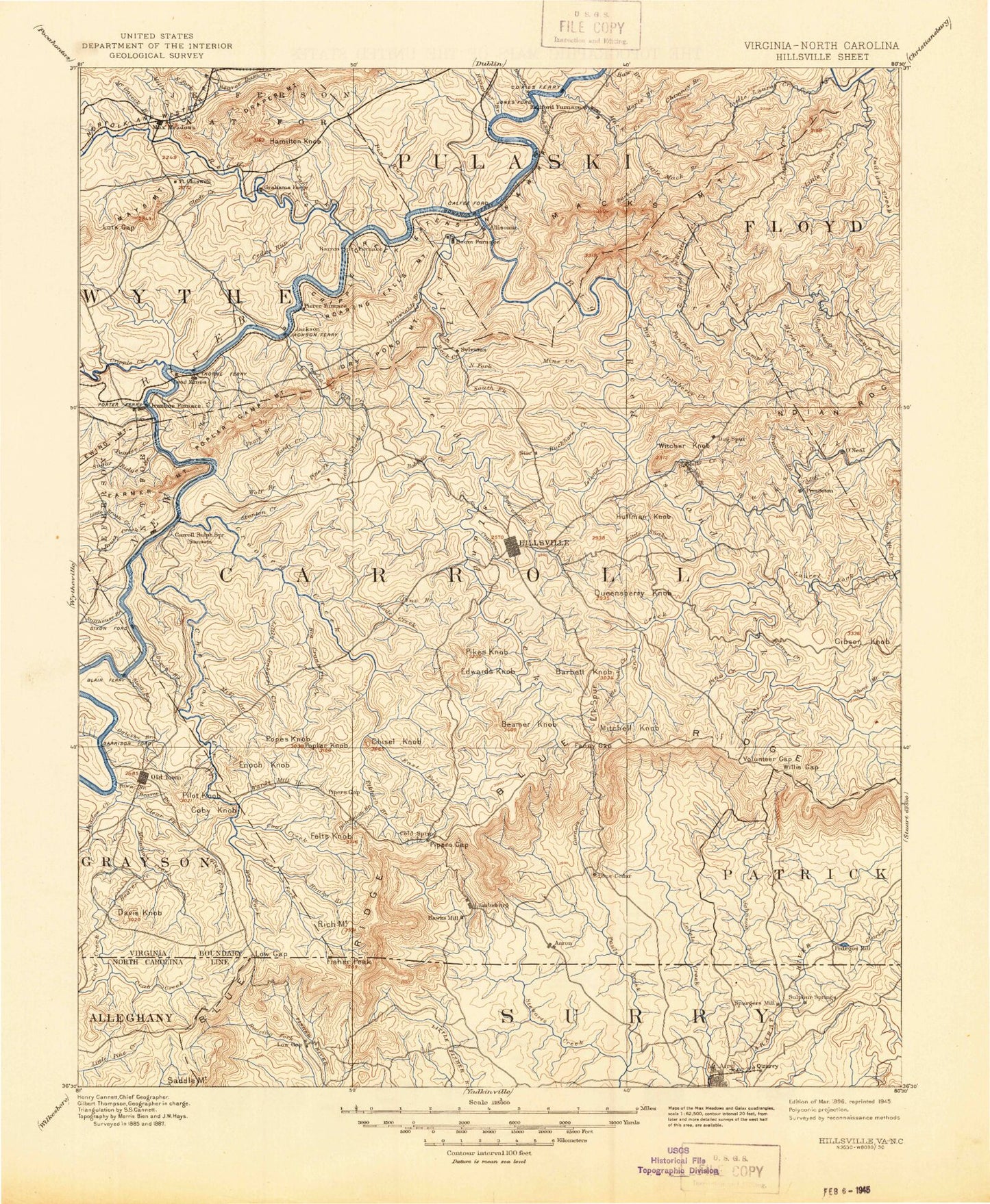
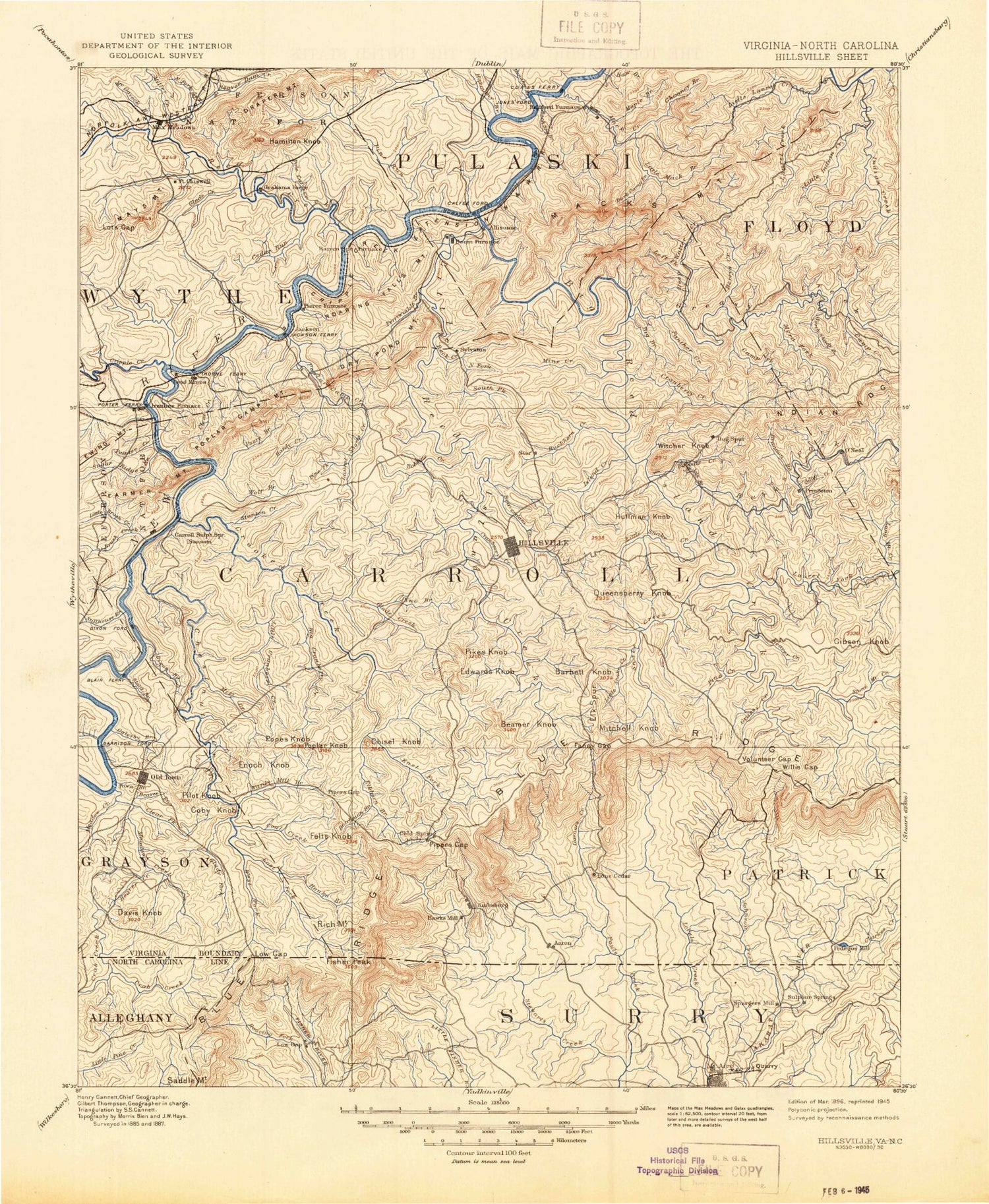
Historic 1896 Hillsville Virginia 30'x30' Topo Map
Couldn't load pickup availability
Historical USGS topographic map of Hillsville in the state of Virginia. Scale: 1:125000. Print size: 17" x 24"
This map was published in 1896 and is in the following counties: Alleghany, Carroll, Floyd, Galax (city), Grayson, Montgomery, Patrick, Pulaski, Surry, Wythe.
The map contains contour lines, roads, rivers, towns, streams, and lakes. Printed on high-quality waterproof paper with UV fade-resistant inks.
Contains the following named places: Brushy Fork, Double Spring Branch, Gully Creek, Huntington Branch, Johnson Creek, Moores Fork, Naked Run, Pauls Creek, Stony Creek, West Fork Chestnut Creek, Fisher Peak, Blue Ridge Parkway, Adams Branch, Ararat, Bark Camp Branch, Barrys Creek, Bear Creek, Beaver Creek, Beaverdam Creek, Beaverdam Creek, Bell Spur, Bellow Branch, Bench Mountain, Big Branch, Big Indian Creek, Big Laurel Creek, Big Laurel Creek, Big Macks Creek, Big Reed Island Creek, Big Tan Trough Branch, Birds Branch, Blue Ridge Mill, Blue Ridge Tabernacle, Bobbitt Creek, Brannom Branch, Brannon Branch, Buck Hollow Branch, Buck Hollow Ridge, Buckhorn Creek, Burks Fork, Camp Branch, Camp Virginian, Campsites, Cap, Cherry Creek, Chestnut Knob, Chimney Branch, Chimney Mountain, Chimney Rock, Chisholm Creek, Christian Service Camp, Clarks Creek, Coleman Ridge, Copper Valley, Cove Branch, Cranberry Creek, Cranberry Creek, Deepwater Creek, Dicks Knob, Doe Run Creek, Dry Branch, Dry Run, East Fork Chestnut Creek, East Fork Crooked Creek, East Fork Johnson Creek, East Fork Little Reed Island Creek, Elk Spur, Elk Spur Branch, Elkhorn Creek, Fall Branch, Fire Trail, First Mountain, Flat Creek, Flint Ridge, Garners Creek, Glade Creek, Grassy Creek, Grassy Creek, Greasy Creek, Greasy Creek, Greens Creek, Grogen Branch, Groundhog Mountain, Gum Stand, Halls Branch, Handy Creek, Hanks Branch, Hanks Knob, High Knoll Mountain, Horse Knob, Indian Valley, Irish Mountain, Island Creek, Jake Branch, Jersey Ridge, King Noahs Branch, Kings Run, Lashley Ridge, Laurel Branch, Laurel Creek, Laurel Fork, Linard Creek, Little Indian Creek, Little Irish Mountain, Little Laurel Creek, Little Macks Creek, Little Pauls Creek, Little Snake Creek, Little Snake Creek, Long Branch, Longshoal, Macey Branch, Mack Creek Village, Macks Mountain, Maple Branch, Max, Mill Creek, Mine Branch, Mira Fork, Mire Branch, Mitchell Knob, Moccasin Branch, North Fork Greasy Creek, North Fork Stewarts Creek, North Prong Buckhorn Creek, Ogle Branch, Old Shop Tower, Orchard Gap, Owens Branch, Panther Creek, Piedmont Overlook, Pilot Mountain Overlook, Pine Branch, Pine Creek, Pine Creek, Pine Creek, Piney Creek, Piney Fork, Pipers Gap, Pipers Gap, Pipestem Branch, Poplar Camp, Potters Branch, Powhatan Camp, Puncheoncamp Branch, Quaker Branch, Rackettown, Rans Creek, Rich Hill, Road Creek, Roads Creek, Rock Creek, Rock Creek, Run Trail, Rustin Hollow, Rye Stack Branch, Shady Branch, Matheny Hollow, West Fork Big Indian Creek, Yankee Branch, Shorts Creek, Shot Tower State Historical Park, Skyland Lakes, Slate Mountain, Snake Creek, South Fork Stewarts Creek, South Prong Buckhorn Creek, Spencer Branch, Spring Branch, Stillhouse Branch, Stone Mountain Creek, Straight Branch, Sugar Tree Branch, Sugarloaf, Sugarloaf Overlook, Sulphur Spring Branch, Sun Run, The Glades, The Hollow, Tinytown, Tory Creek, Trout Branch, Turkey Creek, Volunteer Gap, Wards Gap, Waterfall Branch, West Fork Little Reed Island Creek, Wheeler Knob, White Branch, White Oak Camp Branch, White Oak Flats, Willis Gap, Wolfpen Ridge, Woodlawn, Crooked Oak, Delhart, Drenn, Gladesboro, Higgins Crossroads, Laurel Fork, Liberty Hill, Mitchell Crossroads, Red Hill, Shorts Creek, Sunnyside, Carroll County, Alum Hollow, Austinville, Baker Island, Barren Springs Station, Barrett Ridge, Beaverdam Creek, Big Branch, Brown Lick Branch, Brush Creek, Buckeye Hollow, Buddle Branch, Camp Carry Brook, Carter Island, Carter Wayside, Cedar Run, Chestnut Creek, Chestnut Ridge, Chestnut Yard, Clear Fork, Coal Creek, Coal Creek, Cold Ridge, Connor Valley, Corinth, Cove Creek, Cox Mill, Cripple Creek, Crockett Knob, Crooked Creek, Daniel Branch


