MyTopo
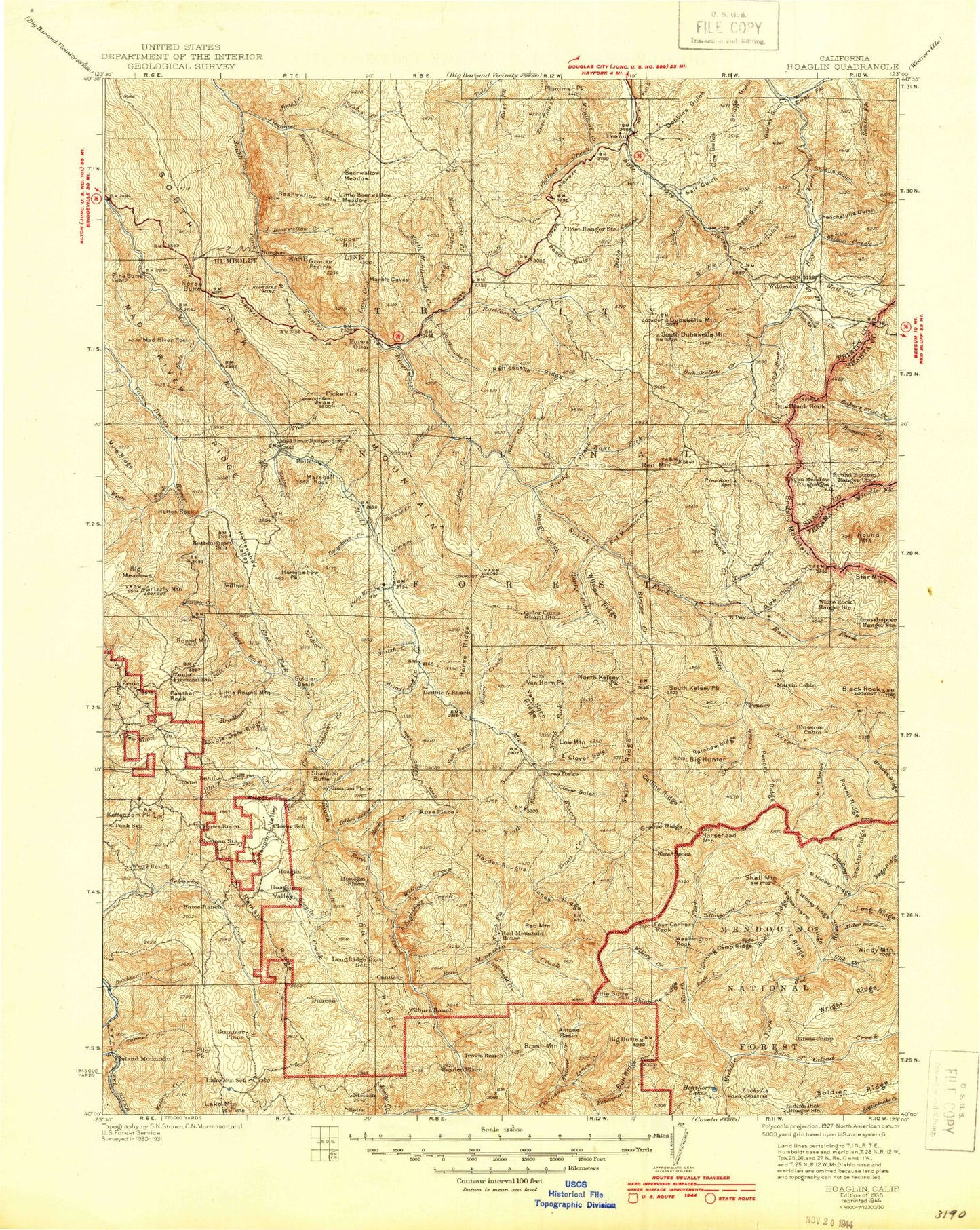
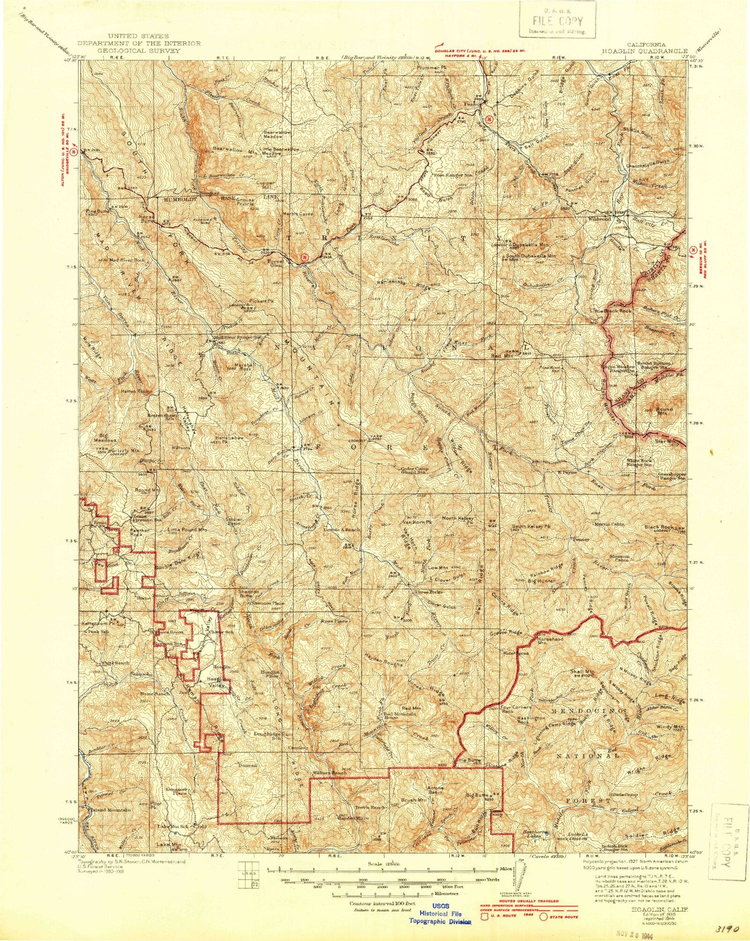
Historic 1935 Hoaglin California 30'x30' Topo Map
Couldn't load pickup availability
Historical USGS topographic map of Hoaglin in the state of California. Scale: 1:125000. Print size: 17" x 24"
This map was published in 1935 and is in the following counties: Shasta, Tehama, Trinity.
The map contains contour lines, roads, rivers, towns, streams, and lakes. Printed on high-quality waterproof paper with UV fade-resistant inks.
Contains the following named places: Alder Basin, Alder Basin Creek, Antone Creek, Armstrong Creek, Bailey Canyon Campground, Barry Creek, Barry Creek Mine, Barry Creek Trail, Bear Canyon, Bear Lake Camp, Bear Wallow Camp, Beaver Slide, Ben Arthur Trail, Bierce Creek, Bierce Ridge, Big Hunter, Big Meadow Creek, Black Rock Lake, Black Rock Mountain, Blair Creek, Blossom Cabin, Bluff Creek, Boles Opening, Bonanza Mine, Boulder Creek, Bradburn Creek, Brown Camp, Browns Camp, Buck Ridge, Buck Ridge, Cedar Gap, Chanchelulla Gulch, Cherry Camp, China Gulch, Cleveland Meadow, Clover Gulch, Collins Ridge, Coon Gulch, Cow Gulch, Cox Creek, Cutfinger Creek, Deer Gulch, Devils Backbone, Dillon Cove, Divide Trail, Doe Ridge, Dog Gulch, Double A Ranch, Double Cabins, Double Gate Ridge, Dry Lake, Dutchman Creek, East Fork Smoky Creek, East Ridge, Fall Creek, Fenton Ridge, Fern Glade, Fern Point, Fir Cove Campground, Flournoy Cabin, Foss Camp, Fourbit Gulch, Frazier Gardens, Gant Gulch, Gemmill Gulch, Georges Valley, Gilman Creek, Gilman Ranch, Goods Creek, Goods Gulch, Goods Mountain, Grapevine Gulch, Green Mountain, Grizzly Mountain, Grouse Ridge, Gurley Gulch, Hale Creek, Hall City Creek, Happy Camp Creek, Haynes Delight, Henthorne Lake, Hermit Rock, Hetten Cove, Hetten Creek, Hetten Ridge, Hetten Rock, Hettenshaw Peak, Hettenshaw Valley, Hoaglin Valley, Hopkins Camp, Horse Ranch Peak, Horsehead Ridge, Hunter Camp, Jamison Ranch, Jensen Cabin, Kettenpom Creek, Kettenpom Peak, Kettenpom Valley, Lake Mountain, Lake Mountain Ranch, Lampley Ranch, Landis Gulch, Lazyman Flat, Lightning Camp Ridge, Little Clover Gulch, Little Round Mountain, Lone Pine Corrals, Long Ridge, Lost Lake, Low Mountain, Low Mountain Gulch, Lower Glade Camp, Lower Lake, Lowery Ridge, Lucky Lake, Lucky Sunday Mine, Lynch Creek, Mad River Rock, Maple Flat, Martin Cabin, Minnie Creek, Moose Peak, Mud Lake, Muldoon Gulch, Mule Gulch, Mule Ridge, Murphy Glades, North Fork Mud River, North Fork Smoky Creek, North Mickey Ridge, Old Willburn Ranch, Packwood Flat, Panther Creek, Panther Gulch, Panther Rock, Penney Glades, Penney Ridge, Pepperwood Corrals, Pickett Creek, Pilot Peak, Pine Flat, Police Camp, Powell Ridge, Prather Flat, Raglan Flat, Raglan Gulch, Rainey Glades, Red Lassic Creek, Red Mountain, Red Mountain Creek, Red Mountain Pasture, Refuge Valley, Rice Lake, Riewerts Ranch, Robbers Roost, Robert W Matthews Dam, Rock Cabin Camp, Rough Gulch, Ruth Lake, Rutled Opening, Saddle Camp, Saddle Gulch, Salt Creek, Salt Creek, Salt Creek Campground, Schoolmarm Creek, Schoolmarm Ridge, Secret Gulch, Sego Ridge, Shannon Butte, Shannon Ranch, Shell Mountain, Shell Mountain Creek, Shiell Gulch, Shiell Ranch, Silver Creek, Smith Creek, Bear Wallow Creek, Bear Wallow Mountain, Cherry Glade Creek, Chris Gap, Dead Puppy Ridge, Fisher Ridge, Grace Creek, Hidden Valley Ranch, Horse Ridge, Jims Creek, Jims Ridge, Lamb Gap, Little Bear Wallow Creek, Mad River Campground, Mad River Ridge, Maynard Creek, North Fork Middle Fork Eel River, Oak Grove, Olsen Creek, Plummer Creek, Rock Creek, Shanty Creek, Smith Peak, Smoky Creek, Snow Gap, Soap Creek, Soldier Basin, Soldier Basin Trail, Soldier Creek, South Fork Goods Creek, South Fork Mad River, South Kelsey Peak, South Mickey Ridge, Sportshaven, Stockton Ridge, Sulphur Camp, Sulphur Gulch, Sunflower Glade, Swim Meadow, Swim Ridge, Telephone Ridge, Tombstone Rock, Trout Creek, Tunnel Creek, Turtle Lake, Twobit Gulch, Uhl Basin, Uhl Creek, Upper Glade Camp, Upper Lake, Van Horn Creek, Van Horn Ridge, Watertrough Camp, Watts Lake, West Fork Salt Creek, Wilcox Ridge, Wildwood, Wilson Creek, Wilson Creek


