MyTopo
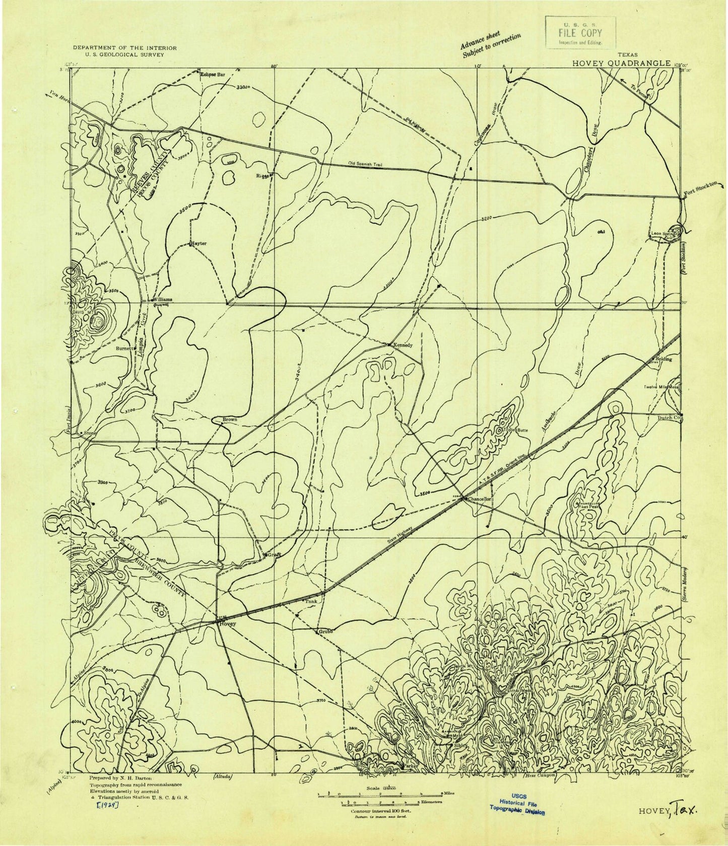
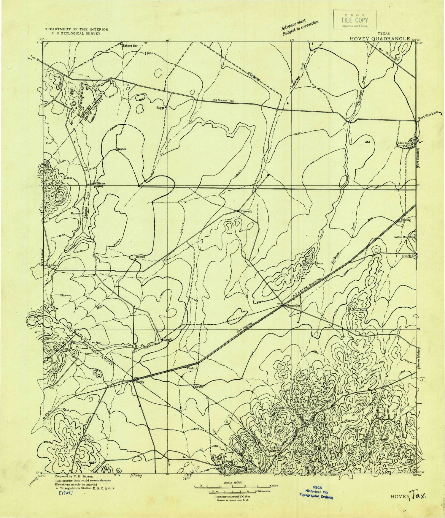
Historic 1929 Hovey Texas 30'x30' Topo Map
Couldn't load pickup availability
Historical USGS topographic map of Hoveyin the states of Texas, New Mexico. Scale: 1:125000. Print size: 19" x 24"
This map was published in 1929 and is in the following counties: Brewster, Jeff Davis, Pecos, Reeves.
The map contains contour lines, roads, rivers, towns, streams, and lakes. Printed on high-quality waterproof paper with UV fade-resistant inks.
Contains the following named places: Limpia Creek, Balcom Windmill, Barrilla Windmill, Belding, Benson Tank, Big Draw Windmill, Bond Windmill, Brahma Windmill, Bull Waterhole, Burnt House Creek Ranch, Cartledge Windmill, Cave Mesa, Chapo Windmill, Deep Well Ranch, Dutch Windmill, Eclipse Windmill, Estate Windmill, Flat Windmills, Fortyfoot Windmill, Graef Ranch, Granger Tank, Hackberry Draw, Hackberry Tank, Hackney Windmill, Hayter Hill, Hayter Ranch, Headquarters Windmill, Hill Tank, Kennedy Ranch, Lawrence Draw, Lake Leon, Leoncita Ranch, Liano Windmill, Mathews Windmill, Metzger Windmill, Middle Windmill, Musquiz Creek, North Mountain, North Tank, North Windmill, Paisano Creek, Panther Mesa, Perch Tank, Pikes Peak, Pine Mesa, Red Windmill, Riggs Windmill, Robbers Roost, Rooney Tank, Schoolhouse Draw, Section Three Windmill, Squaws Teat, Stone Ranch, Sulfur Windmill, Tanquary Windmill, The Monument, Triple Butte, Tucker Hill, Tule Windmill, Wade Tank, Waldo Windmill, Webb Windmill, West Windmill, Witcher Tank, York Windmill, Acebuche Draw, Addoson Draw, Antelope Draw, Belding Draw, Burnt House Canyon, Burnt House Creek, Gilliland Canyon, Hatch Canyon Draw, Upper Coyanosa Draw, Chancellor, Hovey, Smith Place, The Trans-Pecos, Oates Pumping Station, Leon Springs Dam, Mah Pe Draw, Walnut Draw, The Trans-Pecos


