MyTopo
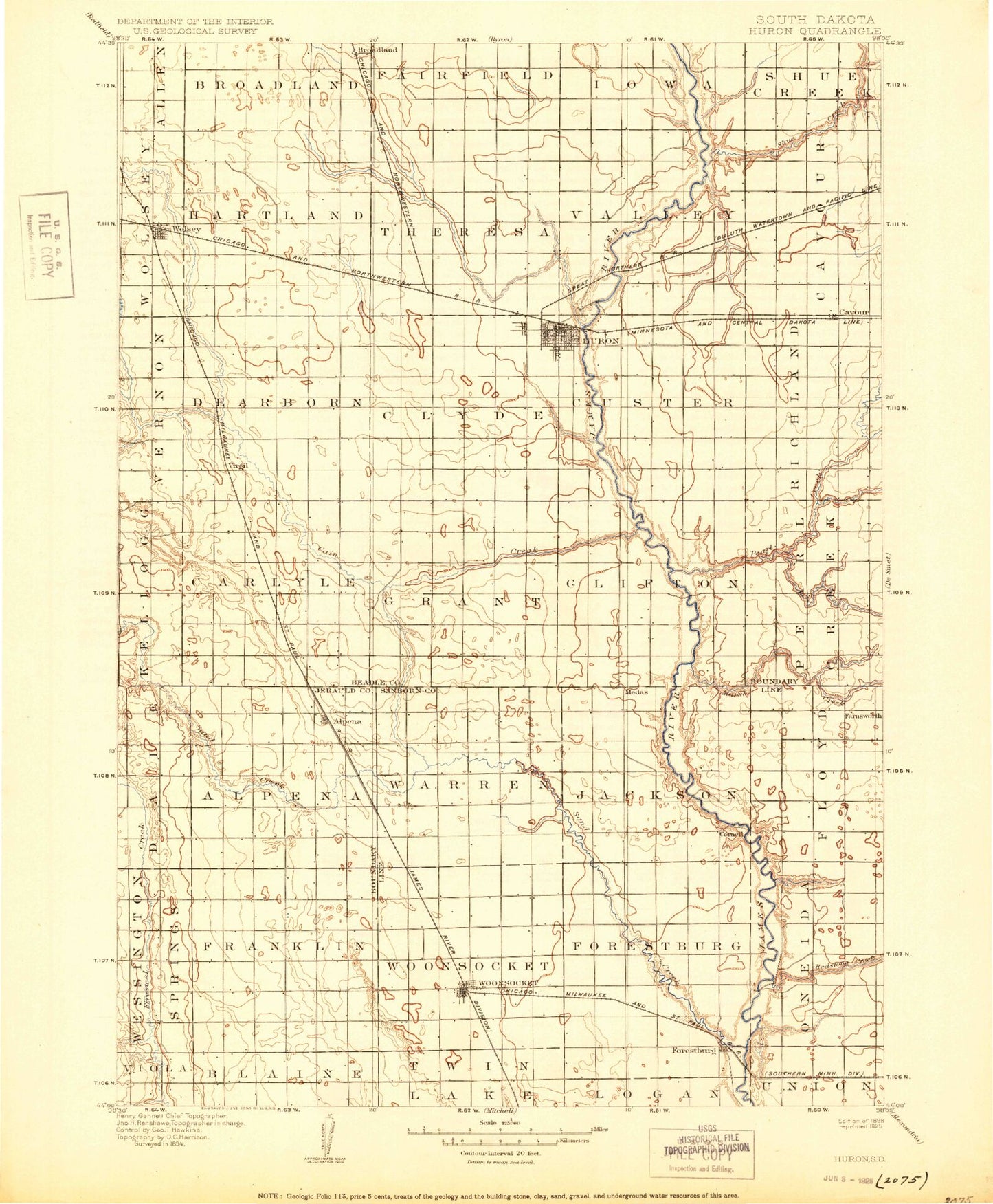
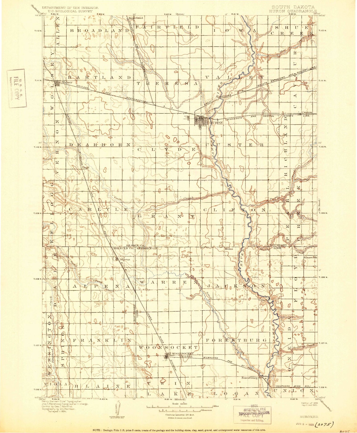
Historic 1898 Huron South Dakota 30'x30' Topo Map
Couldn't load pickup availability
Historical USGS topographic map of Huron in the state of South Dakota. Scale: 1:125000. Print size: 17" x 24"
This map was published in 1898 and is in the following counties: Beadle, Jerauld, Sanborn.
The map contains contour lines, roads, rivers, towns, streams, and lakes. Printed on high-quality waterproof paper with UV fade-resistant inks.
Contains the following named places: Alpena, Broadland, Cain Creek, Cavour, Lake Cavour, County Ditch Number 14, County Ditch Number 16, County Ditch Number 21, County Ditch Number 7, County Ditch Number 8, Forestburg, Huron, Lane, Lynch Ranch, McCoy Lake, McCoy Lake State Public Shooting Area, Morningside, Norwegian Slough State Public Shooting Area, Prospect Park, Ravine Park Lake, Riverside Colony, Riverside Park, Ruskin Park, Sand Creek, Schwartz Slough, South Fork Pearl Creek, Stony Run, Stony Run, Stony Run Lake, Virgil, Wolsey, Woonsocket, The Empire Mall, Southgate Shopping Center, Huron Mall, Stoney Run Dam, Ravine Park Dam, Marsh Creek, James Valley Junction, Sheffield, Ferguson Grove, Prairie Villa Mobile Court, Big Mound, Middle Pearl Creek, Pearl Creek, Redstone Creek, Shue Creek, Sanborn County, Beadle County, Town of Alpena, Town of Cavour, City of Huron, Town of Lane, Town of Virgil, Town of Wolsey, City of Woonsocket, Township of Floyd, Township of Jackson, Township of Oneida, Township of Silver Creek, Township of Warren, Township of Woonsocket, Township of Custer, Township of Pearl Creek, Township of Grant, Township of Clyde, Township of Carlyle, Township of Dearborn, Township of Cavour, Township of Valley, Township of Theresa, Township of Huron, Township of Hartland, Township of Bradland, Township of Franklin, Township of Alpena, Township of Clifton, Township of Richland, Town of Broadland, Tiger Stadium, Beadle County Waterfowl Production Area, Jerauld County Waterfowl Production Area


