MyTopo
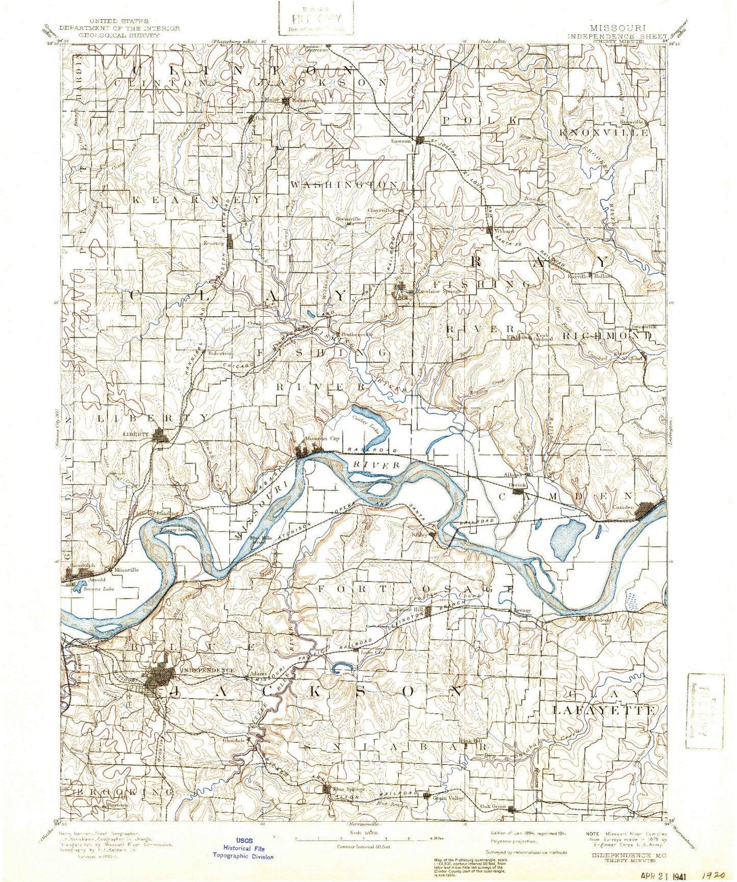
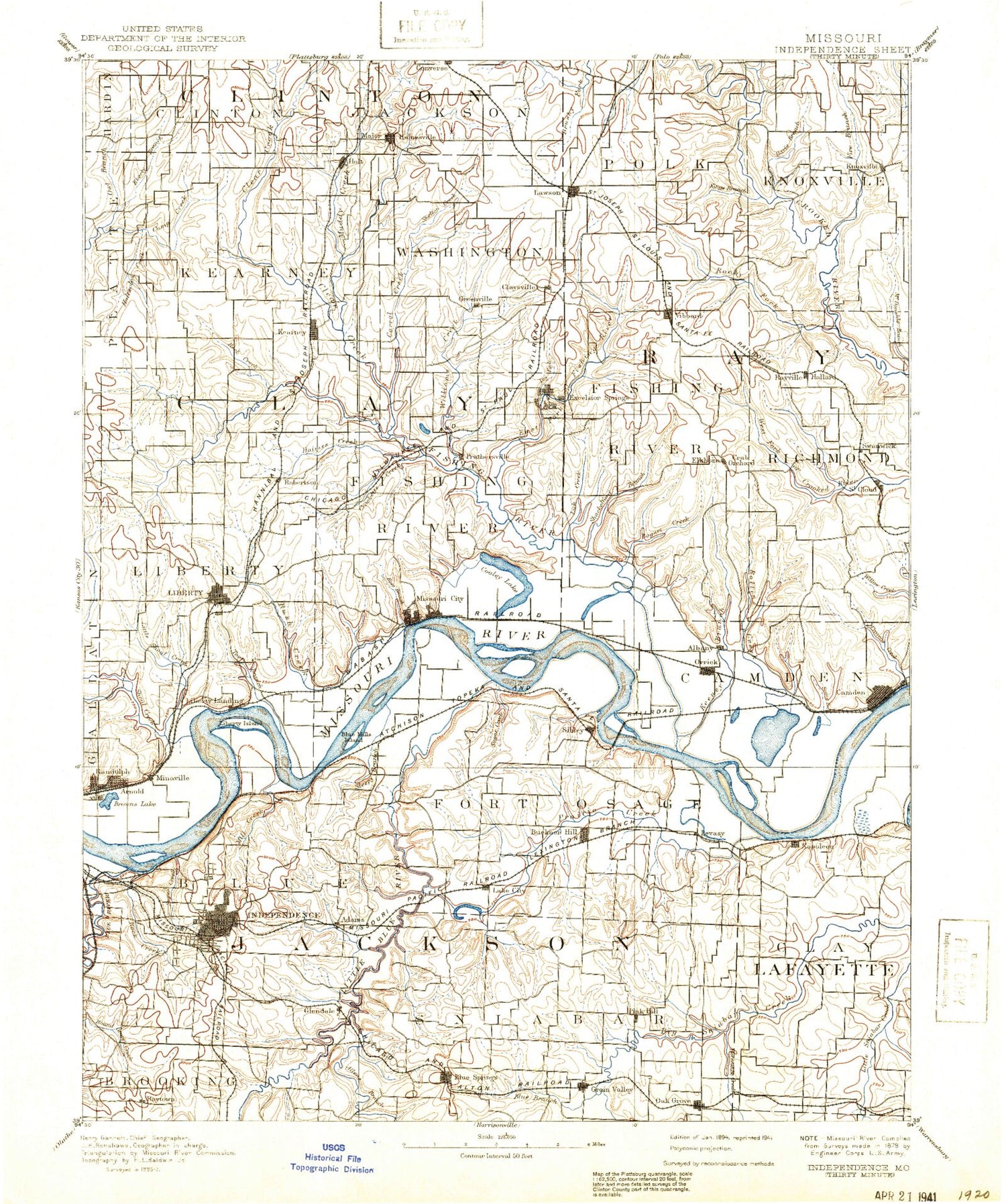
Historic 1894 Independence Missouri 30'x30' Topo Map
Couldn't load pickup availability
Historical USGS topographic map of Independence in the state of Missouri. Scale: 1:125000. Print size: 17" x 24"
This map was published in 1894 and is in the following counties: Clay, Clinton, Jackson, Lafayette, Ray.
The map contains contour lines, roads, rivers, towns, streams, and lakes. Printed on high-quality waterproof paper with UV fade-resistant inks.
Contains the following named places: Blue River, Adair Park, Arsenal Hill, Atherton, Athol, Bates City, Bennett Park, Birmingham, Blue Branch, Blue Ridge Park, Blue Springs, Bogart Creek, Bone Hill, Brady Creek, Brushy Creek, Bundschu Park, Burr Oak Creek, Camden, Camp Mo-Kan, Camp Santa Fe Trail, Camp Santosage, Cates Branch, Centropolis, Chaplin-Hood Park, Claycomo, Clear Creek, Cockerel Creek, Cooley Lake, Coon Branch, Courtney, Crockett Creek, Davis Branch, Dry Creek, Dry Fork, East Fork Fishing River, East Fork Little Blue River, East Fork Rollins Creek, Eberts Branch, Ectonville, Elm Lake, Elmira Camp, Englewood, Fairmount, Fire Branch, Fire Prairie Creek, Fishing River, Fleming, Frick Park, Gilmore Branch, Glen Lake, Gold Mine Creek, Grain Valley, Harrison Park, Hayes Park, Hicklin Branch, Hill Park, Holmes Creek, Holt, Holtzclaw Creek, Horseshoe Creek, Kiddie Park, Kings Branch, Lake City, Lawson, Lazy Branch, Levasy, Lick Creek, Little Blue River, Little Horseshoe Creek, Little Shoal Creek, Lake Maurer, May Brook, Maywood, McCoy Lakes, Midwest Worlds of Fun, Miles Creek, Mill Creek, Mill Creek Park, Miltondale, Minter Hill, Monkey Mountain, Moore Park, Mosby, Mount Washington, Napoleon, Nebo Hill, New Hope Creek, Old Channel Missouri River, Orrick, Owl Creek, Owl Creek, Panther Creek, Ralph Lake, Rock Creek, Rock Creek, Rose Branch, Seminary Creek, Shackelford Branch, Shumate Branch, Siloam Park, Slover Memorial Park, South Liberty, Spring Branch, Sugar Creek, Sugar Creek, Sugar Creek, Sunnyside Park, Swiney Branch, The Campus Park, Town Branch, Tucker Branch, Waterloo, Watkins Mill State Park, West Fire Prairie Creek, Williams Creek, Wood Heights, Woods Lake, East Kansas City, Albany, Crescent Lake, Egypt Bottom, Elkhorn, Excelsior Springs, Floyd, Glenaire, Kearney, Keeney Creek, Knoxville, Liberty, Minneville, Missouri City, Pleasant Valley, Prathersville, Rayville, Rocky Fork, Rollins Creek, Rush Creek, Shoal Creek, West Fork Rollins Creek, Six-Mile, Sugar Creek Junction, Blue Mill, Fire Prairie, Fire Prairie Lake, Fairmount Station, Bristol, Camp Creek, Lake City Junction, Pink Hill, Blue Mills, Buckner, Independence, Mill Creek, Oak Grove, Raytown, Sibley, Dry Fork Lake, Muddy Fork, Pioneer Village, Liberty Landing Shopping Center, Liberty Commons, Claycomo Plaza, Crossroads West, Interstate Seventy Shopping Center, Jackson Square, Jackson Grove Shopping Center, Parker Center, Haymarket Shopping Center, Stop Shop Center, Kings Ridge Shopping Center, Far View Shopping Center, Independence Center, Raytown Plaza, Brywood Shopping Center, Hickory Hills Shopping Center, Blue-Vue Shops, Ridgewood Shopping Center, Blue Ridge Mall, Harry S Truman Railroad Station, Hub Shopping Center, Independence Corners Shopping Center, Independence North Shopping Center, Gaslight Square, Noland Plaza, Noland Road Retail Center, Noland Fashion Square, Noland South Shopping Center, Blue Ridge Plaza, Raytown Centre Shops, Sterling Ridge Shopping Center, Alton Plaza, Hi-way Twenty-four Shopping Center, Chrisman Plaza, Independence Square, Blue Springs Lake, Carroll Creek, White Hall Fields, Ravena Gardens, Jackson Bend, Missouri City Bend, Horseshoe Lake, Clevenger, Sandals, New Garden, Golf Hill, Show-Me Planning Region, East Independence, Vibbard, Coopers, Manchester, Rock Quarry, Hiler, Air Line Junction, Arley, Camden Junction, Cement City, Chandler, Cobbler, Converse, Eton, Excelsior Springs Junction, Greenville, Haynesville, Ripley, Rock Creek Junction, Roosterville, Saint Cloud, Selsa, Stockdale, Swanwick, Winner, Thirty-ninth and Noland Center, Helping Hand Farm, Fairmount Park, Pixley Quarry, Oggs Mill


