MyTopo
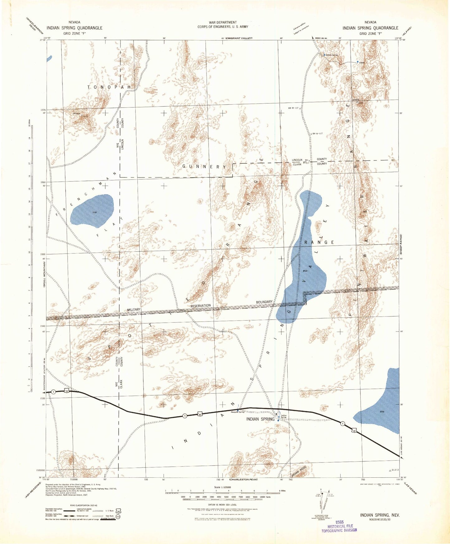
Historic 1942 Indian Spring Nevada 30'x30' Topo Map
Couldn't load pickup availability
Historical USGS topographic map of Indian Spring in the state of Nevada. Scale: 1:125000. Print size: 18" x 24"
This map was published in 1942 and is in the following counties: Clark, Lincoln, Nye.
The map contains contour lines, roads, rivers, towns, streams, and lakes. Printed on high-quality waterproof paper with UV fade-resistant inks.
Contains the following named places: Aysees Peak, Barren Wash, Buried Hills, Cane Spring Wash, Checkpoint Pass, Crossgrain Valley, Dell Frenzi Park, East Fork Scarp Canyon, East Sandy Wash, French Peak, Frenchman Flat, Frenchman Lake, Gravel Canyon, Indian Canyon, Indian Canyon Reservoir, Kay Blockhouse, Massachusetts Mountain, Mercury Ridge, Nevada Test Site Area 11, Niavi Wash, North Ridge, Nye Canyon, Point B, Puddle Peak, Pumping Station 2, Pumping Station 3, Ranger Mountains, Raysonde Buttes, Scarp Canyon, South Ridge, Triple Point Bunker, Gravel Canyon Reservoir, Indian Springs Valley, Pintwater Range, Quartz Peak, Spotted Range, Mercury, Tim Springs Petroglyths, Indian Springs, Timpi Wash, Narrow Canyon, Pumping Station Four, Cactus Springs, Sugar Bunker, P Guest Ranch, Indian Ridge, Willow Creek, Winding Wash, Tower Hills, West Sandy Wash, Timpi Canyon, Winapi Wash, Plutonium Valley, Indian Springs Park, Indian Springs Pool


