MyTopo
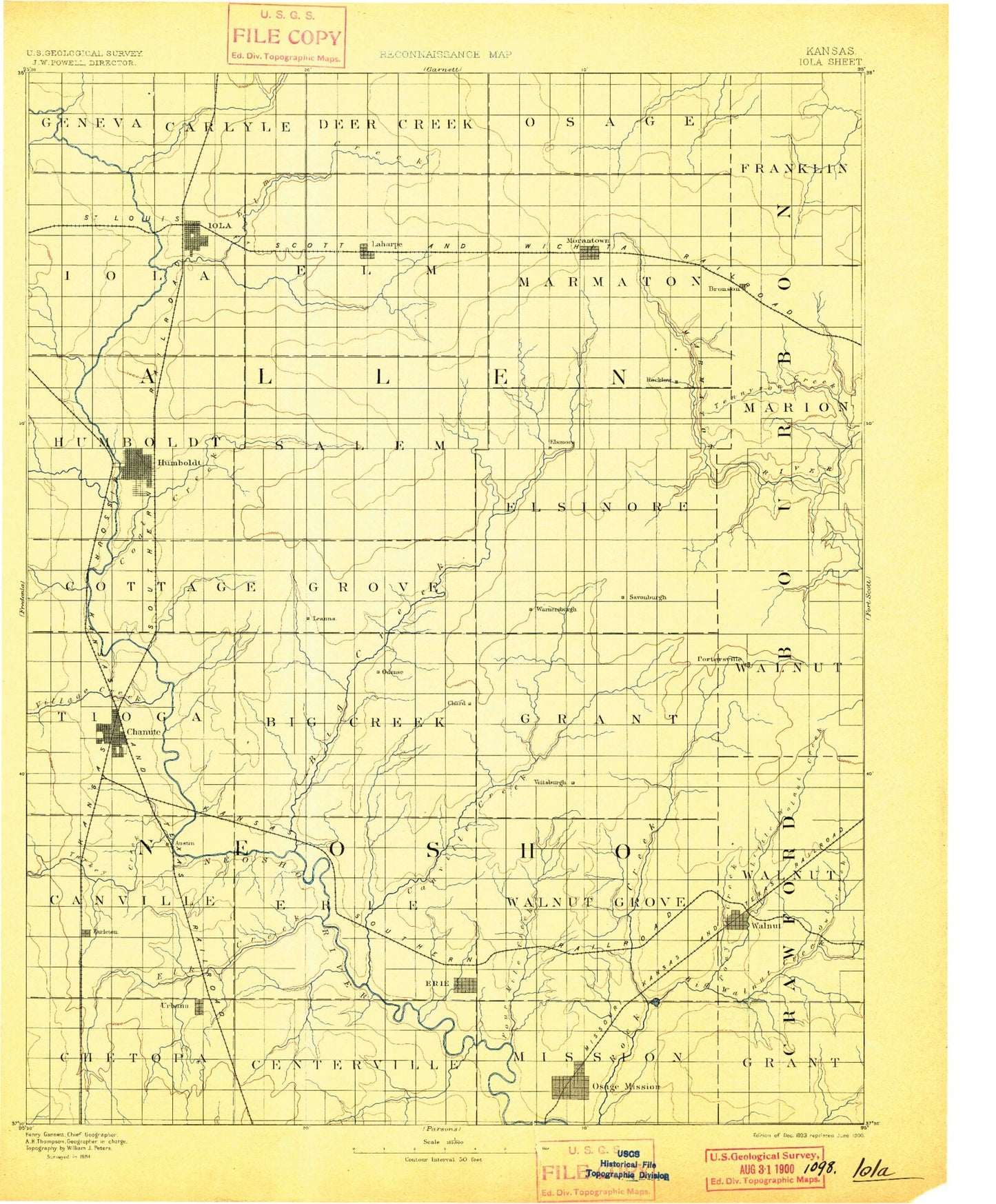
Historic 1893 Iola Kansas 30'x30' Topo Map
Couldn't load pickup availability
Historical USGS topographic map of Iola in the state of Kansas. Scale: 1:125000. Print size: 17" x 24"
This map was published in 1893 and is in the following counties: Allen, Bourbon, Crawford, Neosho.
The map contains contour lines, roads, rivers, towns, streams, and lakes. Printed on high-quality waterproof paper with UV fade-resistant inks.
Contains the following named places: Township of Chetopa, Ogeese Creek, Township of Centerville, Bachelor Creek, Township of Mission, Township of Grant, Owl Creek, Onion Creek, Liberty Creek, Bassett, Riverside Park, Iola, Garfield Park, Coon Creek, Lake Bassola, Boyers Lake, Greaser Creek, Gas, La Harpe, Township of Iola, Township of Elm, Elm Creek, Big Creek, Moran, Katy Lake, Rock Creek, Township of Marmaton, Sweet Branch, Bronson Reservoir, Bronson, Dawson Lake, Spring Valley, Township of Franklin, Township of Logan, Scatter Creek, Bloody Run, Mud Creek, Riverside Park, Cannon Park, Charles Branch, Humboldt, Township of Humboldt, Vegetarian Creek, Turkey Branch, Goose Creek, Slack Creek, Coal Creek, Township of Cottage Grove, Savonburg, Mud Creek, Little Creek, Elsmore, Township of Elsmore, Wolfpen Creek, Jackie Branch Marmaton River, Bourbon County State Park, Township of Salem, Little Turkey Creek, Township of Tioga, Township of Canville, Turkey Creek, Village Creek, Santa Fe Lake, Katy Park, Highland Park, Central Park, Mud Creek, Allen Lake, Petrolia, Barker Dam, Nyman Lake, Draw Creek, Mud Creek, Pecan Creek, Sutton Creek, Rocky Branch, Township of Big Creek, Township of Erie, Little Canville Creek, Canville Creek, Timber Lake, Kimball, Stark, Township of Grant, Township of Walnut Grove, Little Walnut Creek, Flat Rock Creek, Pony Creek, Township of Walnut, Walnut Creek, Little Elk Creek, Urbana, Earlton, Veterans of Foreign Wars Lake, Elk River, Rock Creek, Shaw, Fourmile Creek, Saint Paul, Erie, Walnut, Township of Geneva, Carlyle Creek, Cottonwood Creek, Martin Creek, Township of Carlyle, Township of Deer Creek, Deer Creek, Little Deer Creek, Township of Osage, Bourbon State Fishing Lake and Wildlife Refuge, Nyman Lake Dam, Dawson Lake Dam, Bourbon County State Lake, Bourbon County State Lake Dam, Bronson Water Storage Dam, Lake Bassola Dam, Katy Lake Dam, North Shopping Center, Plaza Shopping Center, Wise, Bayard, Tennyson Creek, Schubert Creek, Trent, Carlyle, Rollin, Leanna, Odense, Porterville, Chanute, Allen County, Neosho County, Chanute Country Club, City of Chanute, City of Humboldt, City of Iola, City of La Harpe, City of Bronson, City of Bassett, City of Earlton, City of Elsmore, City of Erie, City of Gas, City of Moran, City of Stark, City of Saint Paul, City of Savonburg, City of Walnut, Moran Municipal Wastewater Treatment Plant, Walnut Wastewater Treatment Plant, Erie Wastewater Treatment Plant, Iola Water Treatment Plant, Savonburg Wastewater Treatment Plant, Bronson Sewer Treatment Plant, Saint Paul Wastewater Treatment Facility, Stark Wastewater Plant, Humboldt Wastewater Plant, North Industrial Site Number 1, North Industrial Site Number 2, North Industrial Site Number 3, Allen County Landfill, Chanute Electric Department Plant Number 1, Chanute Electric Department Plant Number 2, Erie Power Plant, Humboldt Speedway, Allen County Fairgrounds, Neosho County Fairgrounds, Saint Paul Water Treatment Plant, Elsmore Wastewater Plant, La Harpe Wastewater Plant, Petrolia Wastewater Plant, Humboldt Water Works, Trailside Mobile Home Park, Trailside Mobile Home Village, Santa Fe Safari Campground, Prairie Ridge Golf Club, Cedarbrook Golf Course, Safari Public Golf Course, Allen County Country Club, Sunny Meadows Golf Course, Beachner Grain Elevator Number 5, Beachner Grain Elevator Number 8, Beachner Grain Elevator Number 6, Beachner Grain Elevator Number 7, Beachner Grain Elevator Number 12, Beachner Grain Elevator Number 17, Beachner Grain Elevator Number 14, Sailors Stock Farm, Edwards Farm, Finley Farms, Reinhardt Farms


