MyTopo
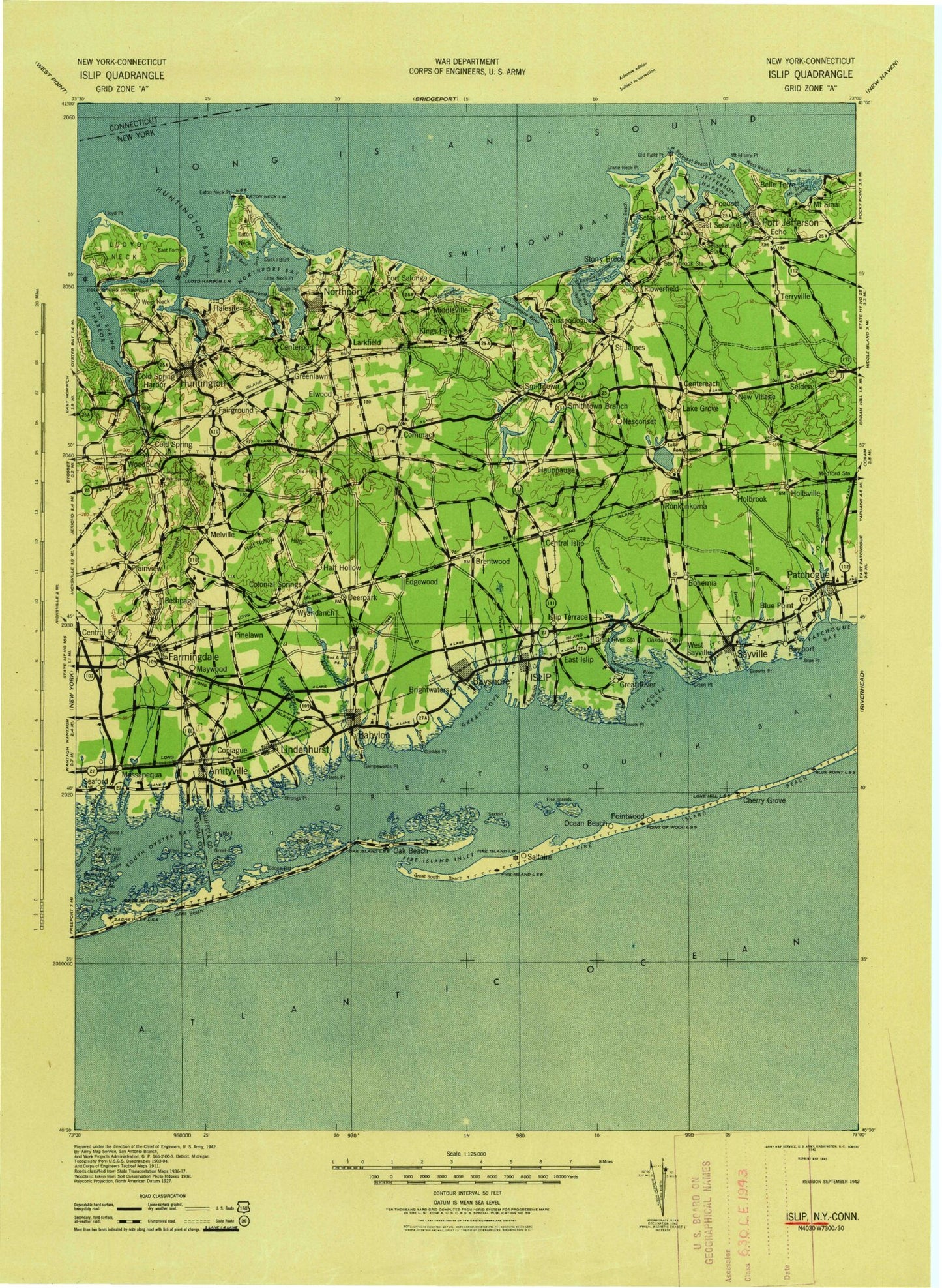
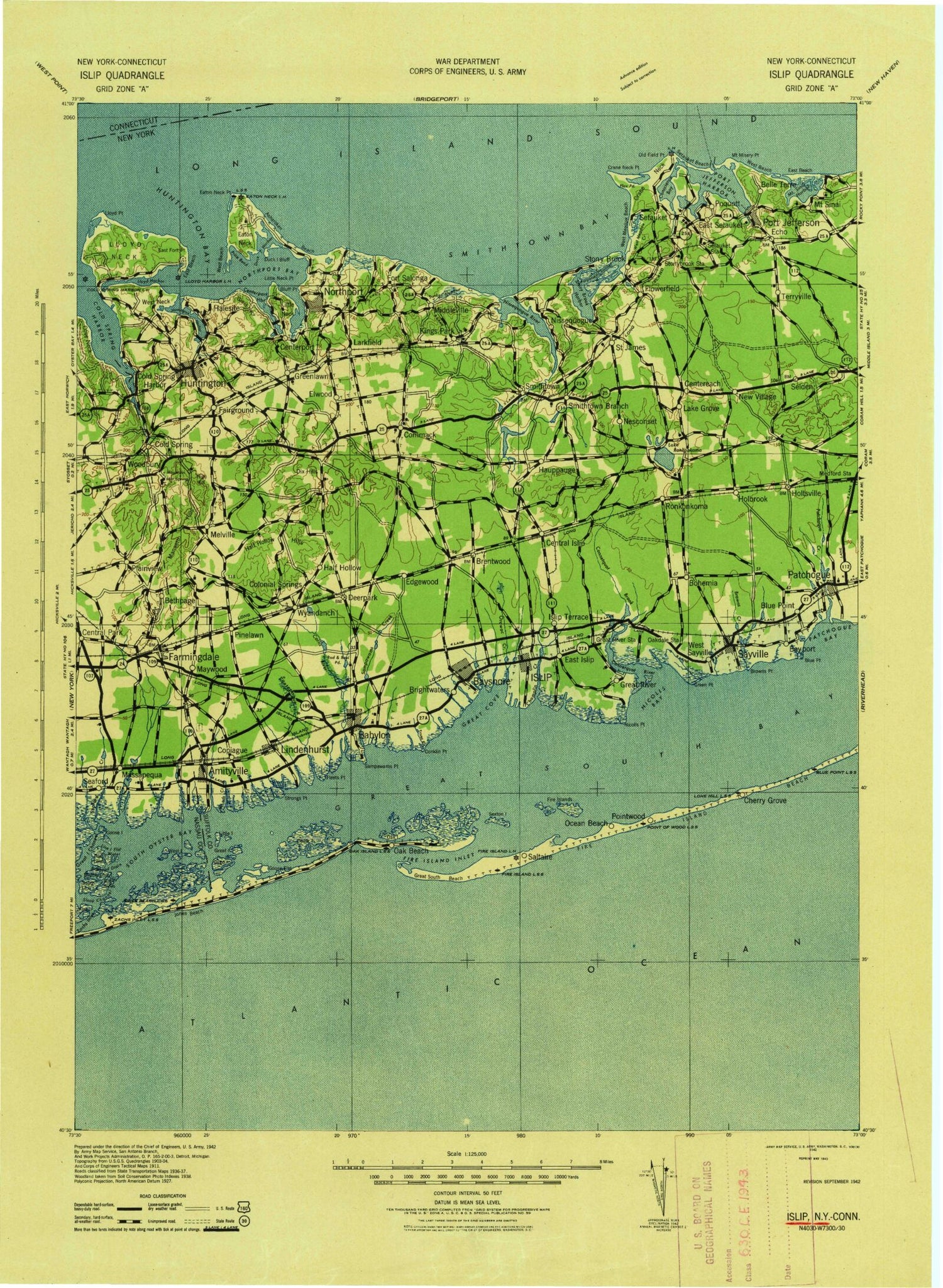
Historic 1942 Islip New York 30'x30' Topo Map
Couldn't load pickup availability
Historical USGS topographic map of Islip in the state of New York. Scale: 1:125000. Print size: 17" x 24"
This map was published in 1942 and is in the following counties: Fairfield, Nassau, Suffolk.
The map contains contour lines, roads, rivers, towns, streams, and lakes. Printed on high-quality waterproof paper with UV fade-resistant inks.
Contains the following named places: Corey Creek, Purgatory Creek, Amity Channel, Amity Harbor, Amityville, Amityville Creek, Appletree Neck, Asharoken, Northport Basin, Atlantique, Atlantique Beach, Avon Lake, Awixa Creek, Babylon, Babylon Cove, Barrett Beach Park, Bay Shore, Bayard Cutting Arboretum, Bayberry Point, Bayport, Beach Thatch, Belle Terre, Belmont Lake, Belmont Lake State Park, Bethpage, Bethpage State Park, Biltmore Shores, Birchwood Park, Bishop McConnel Day Camp, Black Banks Island, Blue Point, Blue Point, Blue Point Beach, Bluff Point, Bohemia, Brady Park, Brentwood, Brightwaters Canal, Brown Creek, Brown Point, Bulkhead Drain, Bull Ditch, Burr-Winkle Park, Byron Lake Park, Caledonia Park, Callahans Beach, Camp Edey, Camp Francoise Barstow, Canaan Lake, Lake Capri, Captree Island, Captree State Park, Carlls River, Carman Creek, Cascade Lakes, Causeway Park, Cedar Beach, Cedar Creek, Cedar Island, Cedar Overlook Beach, Centereach, Centerport, Centerport Beach, Centerport Harbor, Central Islip, Champlin Creek, Cherry Grove, Cheshires Creek, Clam Pond, Cold Spring Harbor, Cold Spring Harbor, Cold Spring Harbor Station, Commack, Wicks Park, Conklin Point, Connetquot Brook, Connetquot River, Conscience Bay, Copiague, Copiague Neck, Coram, Cove Neck, Crab Meadow, Crab Meadow, Crab Meadow Park, Crane Neck, Crane Neck Point, Crescent Beach, Crystal Brook, Davis Park, Deer Park, Democrat Point, Diamond Shoals, Dickerson Channel, Dix Hills, Dix Hills Park, Duck Island, Duck Island Bluff, Duck Island Harbor, East Beach, East Beach, East Brentwood, East Canal, East Channel, East Fire Island, East Fort Point, East Fox Creek, East Hauppauge, East Islip, East Neck, East Northport, East Pond, East Setauket, Elda Lake, Elder Island, Elwood, Elwood Park, Fair Harbor, Farm Shoals, Farmingdale, Farmingville, Fire Island Inlet, Fire Island Pines, Fire Islands, Firemens Memorial Park, Flax Pond, Fleets Cove, Fly Island, Forestwood Park, Fort Hill, Fort Neck, Fort Salonga, Fosters Creek, Fresh Pond, Fresh Pond, Geiger Memorial Park, Gibbs Pond, Gilgo Beach, Gilgo Beach, Gilgo Heading, Gilgo Island, Gilgo State Park, Gold Star Beach, Goose Island, Goose Island Drain, Gould Pond, Grand Canal, Grass Island, Great Cove, Great East Neck, Great Island, Great Island Channel, Great Neck, Great Neck Creek, Great Patchogue Lake, Great River, Great South Bay, Green Creek, Green Point, Bill Richards Memorial Park, Greenlawn, Gugenheim Pond, Guggenheim Lakes, Halesite, Half Hollow, Half Hollow Hills, Harbor Green, Hard Estate-West Sayville County Park, Hatch Rock, Hauppauge, Hawleys Lake, Head of the Harbor, Heckscher Canal, Heckscher State Park, Hecksher Park, Hobart Beach, Holbrook, Holtsville, Homans Creek, Howell Creek, Howell Point, Huntington, Huntington Bay, Huntington Bay, Huntington Beach, Huntington Crescent Club, Huntington Harbor, Huntington Station, Indian Creek, Inner Harbor, Isbrandtsen Canal, Islip, Islip Terrace, John J Burns Park, Jonas Creek, Jones Creek, Keith Canal, Kings Park, Kismet, Knapps Lake, Lake Grove, Lake Ronkonkoma, Lakeland, Laurel Hollow, Lawrence Creek, Lawrence Lake, Lindenhurst, Little Bay, Little Creek, Little East Neck, Little Island, Little Neck, Little Neck Point, Little Plains, Little Plains, Lloyd Beach, Lloyd Harbor, Lloyd Point, Lonelyville, Long Beach, Lotus Lake, Low Tide Rock, Lower Pond, Lower Winganhauppauge Lake, Ludlows Creek, Makamah Beach, Mannetto Hills, Maple Avenue Park, Massapequa, Massapequa Creek, Massapequa Lake, Massapequa Park, Massapequa Preserve, Medford, Melville, Michel Park


