MyTopo
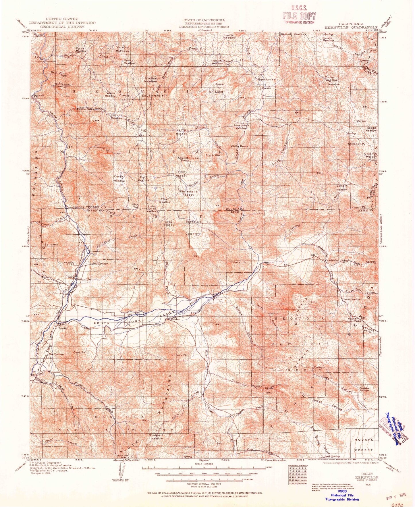
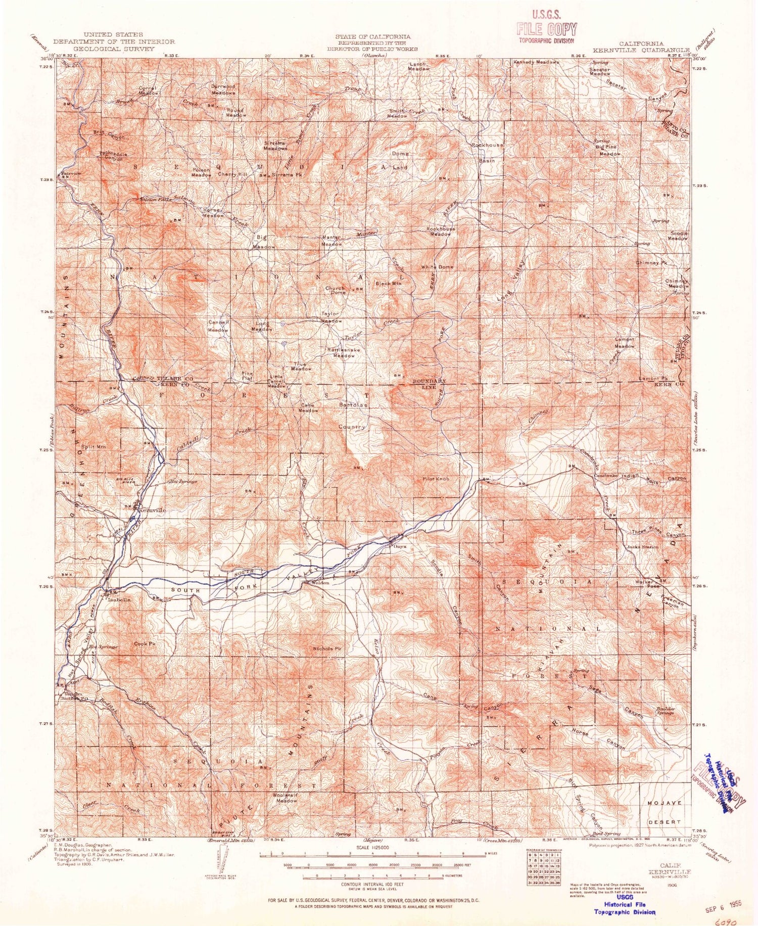
Historic 1906 Kernville California 30'x30' Topo Map
Couldn't load pickup availability
Historical USGS topographic map of Kernville in the state of California. Scale: 1:125000. Print size: 18" x 24"
This map was published in 1906 and is in the following counties: Inyo, Kern, Tulare.
The map contains contour lines, roads, rivers, towns, streams, and lakes. Printed on high-quality waterproof paper with UV fade-resistant inks.
Contains the following named places: Bear Trap Canyon, Berts Canyon, Big Meadow, Big Pine Meadow, Bob Rabbit Canyon, Bodfish Creek, Boone Meadow, Bright Star Mine, Burnt Canyon, Camp Kemeric, Canebrake Flat, Cherry Hill, Commonwealth Mine, Dark Canyon, Deadwood Meadow, Dome Land, Dry Canyon, Dry Meadow Creek, Dry Meadows, Durrwood Meadows, Fairview Mine, Fay Creek, Gibonney Canyon, Gilbert Campground, Glen Olive Mine, Goat Ranch Canyon, Hanning Flat, Harrington Ranch, Headquarters Campground, Heald Peak, Inspiration Point, Jacks Creek, Josephine Mine, Kelso Creek, Kennedy Peak, Little Dry Meadow, Little Trout Creek, Lone Star Mine, Long Canyon, Long Valley, Lower Springhill Campground, Lucky Box Mine, Machine Creek, Mack Meadow, Manter Creek, Manter Meadow, Pinyon Peak, Quarter Circle 5 Ranch, Rabbit Island, Sacatar Canyon, Sacatar Meadow, Scodie Meadow, Sirretta Meadows, Sirretta Peak, Snow Creek, South Fork Valley, Spring Canyon, Taylor Creek, Three Pines Canyon, Upper Springhill Campground, White Dome, Woodpecker Meadow, Woolstalf Creek, Woolstalf Meadow, Camp Three Campground, Cow Canyon, Long Canyon, Mosquito Meadow, Nicolls Peak, Walker Pass, Weldon, Roads End, Ant Canyon, Bald Eagle Peak, Bartolas Country, Bartolas Creek, Big Blue Mine, Bird Spring Pass, Bodfish Canyon, Bodfish Peak, Borel Canal, Boulder Canyon, Boulder Gulch Campground, Brin Canyon, Brush Creek, Bull Run Creek, Burton Camp, Caldwell Creek, Cane Canyon, Cane Creek, Cane Meadow, Cane Peak, Canebrake Creek, Cannell Creek, Cannell Meadow, Cannell Meadow Forest Service Station, Cannell Meadow Trail, Cannell Peak, Cap Canyon, Chico Canyon, Chimney Creek, Chimney Meadow, Chimney Peak, Cholla Canyon, Cook Peak, Corral Creek, Cortez Canyon, Cyrus Canyon, Cyrus Flat, Dark Canyon, Drunkards Dream Mine, Dry Meadow Creek, East Fork Erskine Creek, East Side Launch Ramp, Engineer Point, Erskine Creek, Fairview, Faust Mill, Fish Creek, Flynn Canyon, French Gulch, French Gulch Lake Patrol Station, Frog Creek, Gautche Point, Gold Ledge Campground, Gold Ledge Creek, Hogeye Gulch, Horse Canyon, Horse Meadow, Hot Spring Valley, Hungry Gulch Campground, Iconoclast Mine, Isabella Auxiliary Dam, Isabella Lake, Isabella Main Dam, Isabella Marina Number Two, James Morden Mine, Joughin Cove, Kissack Bay, Kissack Cove, Lamont Meadow, Lamont Peak, Launch Area Number Seventeen, Launch Area Number Nineteen, Launch Area Number Two, Launch Ramp Number Sixteen, Laura Peak, Laurel Mine, Liebel Peak, Liebel Ranch, Lime Dyke, Lime Point, Limestone Campground, Little Cannell Meadow, Live Oak Campground, Long Meadow, Lower Campground, Lunch Meadow, Lynch Canyon, Main Dam Campground, McIvers Cabin, McIvers Road, Middle Fork Erskine Creek, Myers Canyon, Nellie Dent Creek, North Meadow Creek, Noyer Canyon, Onyx Peak, Onyx Ranch, Packsaddle Canyon, Paradise Cove, Paradise Cove Campground, Pine Flat, Pine Point, Pinyon Creek, Pioneer Point, Pioneer Point Campground, Poison Meadow, Poison Meadow Creek, Potato Patch, Rattlesnake Creek, Rattlesnake Meadow, Raymond Mine, Regan Mine, Rincon, Robinson Bay, Robinson Point, Rockhouse Basin, Rockhouse Meadow, Rocky Point, Rocky Point, Rocky Point Bay, Salmon Creek, Salmon Creek Falls, Scodie Canyon, Scodie Mountains, Scodie Park, Seventyfour Mine, Shirley Creek, Short Canyon, Short Canyon, Slippery Rock Picnic Area, Smith Canyon, Smith Meadow, South Creek, South Creek Falls, South Fork Erskine Creek, South Fork Kern River, Spanish Needle Creek, Spring Gulch, Stine Cove, Stine Point, Stormy Canyon, Stormy Canyon, Studebaker Flat, Taylor Meadow, Tibbets Creek, Tillie Creek, Tillie Creek Campground, Tobias Creek, Tom Moore Mine, Trout Creek, True Meadow, Uffert Park, Fairview Campground, Valley View Mine, Virginia Mine, Willow Flat, Willow Gulch, Yankee Canyon, Horse Meadow Campground, Cannell Meadow District Ranger Office, Gleason Ranch, South Fork Picnic Area, Camp Nine, Grandad Mine


