MyTopo
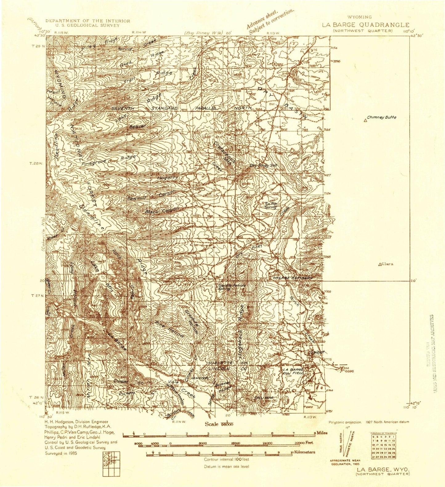
Historic 1936 La Barge Wyoming 30'x30' Topo Map
Couldn't load pickup availability
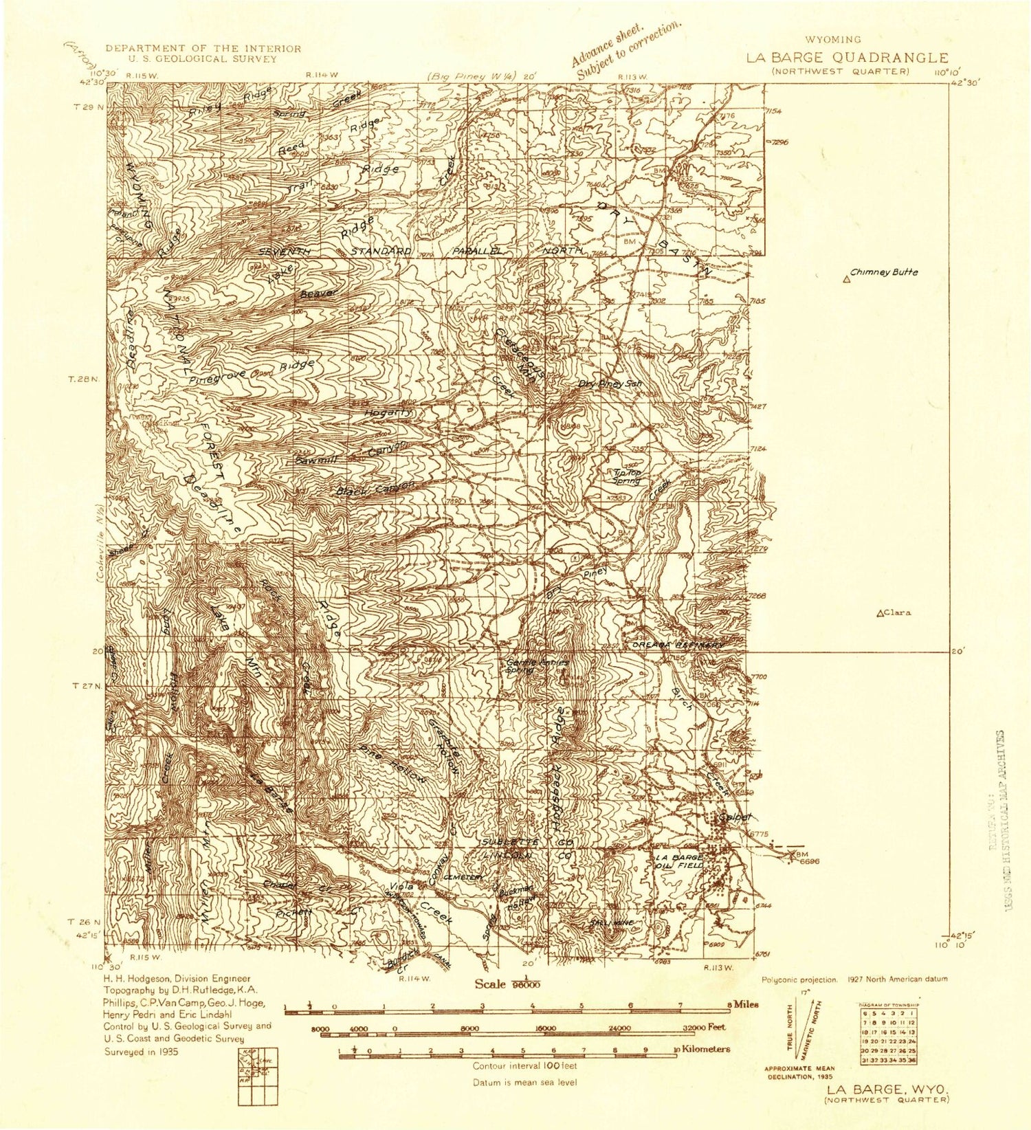
Historical USGS topographic map of La Barge in the state of Wyoming. Scale: 1:96000. Print size: 14" x 24"
This map was published in 1936 and is in the following counties: Lincoln, Sublette, Sweetwater.
The map contains contour lines, roads, rivers, towns, streams, and lakes. Printed on high-quality waterproof paper with UV fade-resistant inks.
Contains the following named places: Anderson Canyon, Bess Canyon, Big Mesa, Birch Creek, Bird Canyon, Bird Draw, Bird Nipple, Blue Ridge Reservoir, Buckman Hollow, Burdick Creek, Calpet, Case Knife Canyon, Castle Rock, Cedar Creek, Chapel Canyon, Chimney Butte, Chimney Butte Reservoir, Cretaceous Mountain, Delaney Canyon, Delaney Creek, Delaney Ditch, Deloney Canyon, Dry Basin, Dry Basin, Dry Hollow, Dry Piney Camp, Dry Piney Creek, Dutch George Creek, Facenelli Ranch, Figure Four Canyon, Flat Top Reservoir, Fogarty Canyon, Fontenelle Dam, Fontenelle Gap, Fontenelle Recreation Area, Fontenelle Reservoir, Fort Hill, Green River Island Ditch, Herschler Ranch, Highline Canal, Holden Hill, Holden Hollow, Horn Reservoir, Hyrum Smith Ditch, Jackrabbit Reservoir, Jamison Ranch, Jones North Ditch, Jones South Ditch, Jory Hill, La Barge, La Barge Gas and Oil Field, Lackey Draw, Little Mesa, Little Monument, Little Muddy Creek, Long Island, McDonald Draw, Midmermac Ditch, Miller Mountain, Milleson Draw, Mountain Home Ranch, Muddy Creek, Names Hill, North Fork Dry Piney Creek, North La Barge Gas and Oil Field, North Muddy Creek, Phillips and Reel Ditch, Pine Creek Trail, Pomeroy Draw, Rainbow Camp, Reardon Draw, Red Hill, Red Hill, Saddle Ridge, Slate Creek Ridge, South Fork Birch Creek, Spring Branch, Spring Creek, Spur Canyon, Steed Canyon, Steed Ditch, Sublet Ditch, Tarter Gulch, Tarters Island, The Frog, The Hogsback, The Spur, Western Camp, Wildcat Canyon, Willow Creek, Yose Canyon, Chappell Creek, Hogsback Ridge, Anderson Howard Canal, Bald Knoll, Beaver Dam Creek, Black Canyon Creek, Cabin Creek, Chapel Creek, Conway Creek, Dry Basin Draw, Elk Hollow Creek, Fogarty Creek, Fontenelle Creek, Graphite Hollow, Grassy Hollow Creek, Lake Mountain, Lake Ridge, Long Hollow, Miller Creek, Narrow Ridge, Pickett Creek, Pine Grove Creek, Pine Grove Draw, Pine Grove Reservoir, Pine Grove Ridge, Pine Hollow, Pine Ridge, Reed Ridge, Rock Creek, Sawmill Creek, South Beaver Creek, South Sawmill Creek, Spring Creek, Trail Ridge, Viola, Chimney Butte Pit Number 3, Guyette Ditch Number 1, Reardon Canyon Reservoir Number 2, Reardon Reservoir Number 3, Fontenelle Dam, Riley Ridge, Griggs Prospect, Government Mine, Sayley Mine, Viola Area Mine, Black Canyon, South Fork Dry Piney Creek, Five Slash Fifty-Three Knoll, Bailey Cone, Town of La Barge


