MyTopo
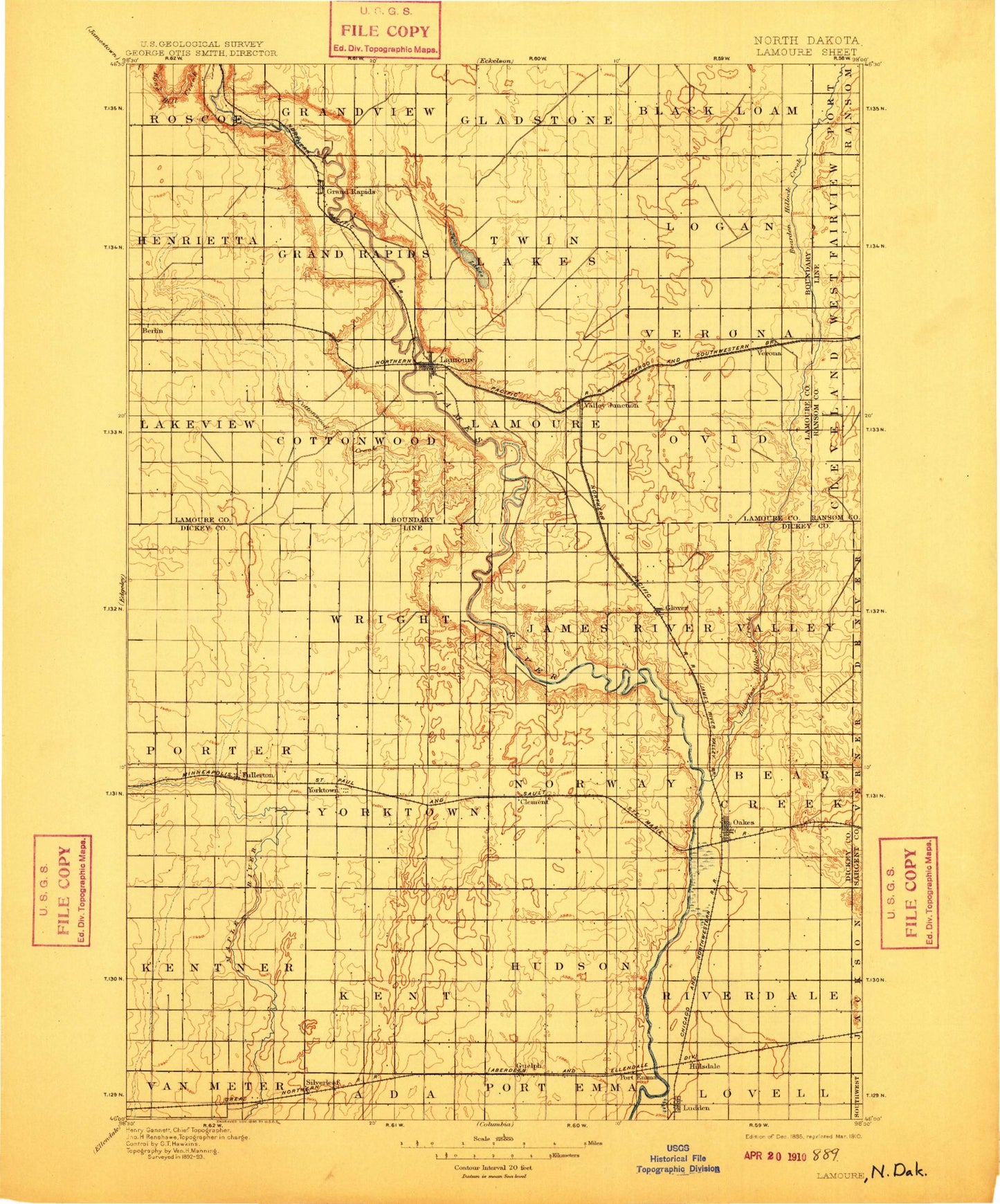
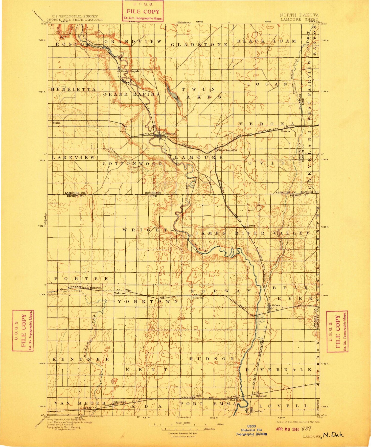
Historic 1895 LaMoure North Dakota 30'x30' Topo Map
Couldn't load pickup availability
Historical USGS topographic map of LaMourein the states of North Dakota, South Dakota. Scale: 1:125000. Print size: 17" x 24"
This map was published in 1895 and is in the following counties: Dickey, LaMoure, Ransom, Sargent.
The map contains contour lines, roads, rivers, towns, streams, and lakes. Printed on high-quality waterproof paper with UV fade-resistant inks.
Contains the following named places: Dakota Lake National Wildlife Refuge, Fullerton, Glover, Guelph, Ludden, Maple River National Wildlife Refuge, Oakes, Oakes Golf Club, Silverleaf, Stevens Slough, Maple River Dam, Maple River Lake, Bear Creek, Berlin, Cottonwood Creek, Cottonwood Lake, Grand Rapids, Independence, LaMoure, Lake LaMoure, Nevermore Lake, Twin Lakes, Verona, Cottonwood Creek Dam, LaMoure Dam, Memorial Park Dam, Schmidt Dam, Seefeldt-Limesand Dam, Benson Corner, Clement, Norway, City of Berlin, City of Fullerton, City of LaMoure, City of Ludden, City of Oakes, City of Verona, Township of Riverdale, Township of Hudson, Township of Weston, Township of Kent, Township of Carlton, Township of Kentner, Township of Climax, Township of Bear Creek, Township of Divide, Township of Clement, Township of James River Valley, Township of Yorktown, Township of Wright, Township of Maple, Township of Porter, Township of Ovid, Township of Ryan, Township of Dean, Township of Badger, Township of Greenville, Township of Pearl Lake, Township of Grand Rapids, Township of Henrietta, Fairview Colony, Maple River Colony, LaMoure County Memorial Park, Lamoure County Waterfowl Production Area, Dakota Lake National Wildlife Refuge


