MyTopo
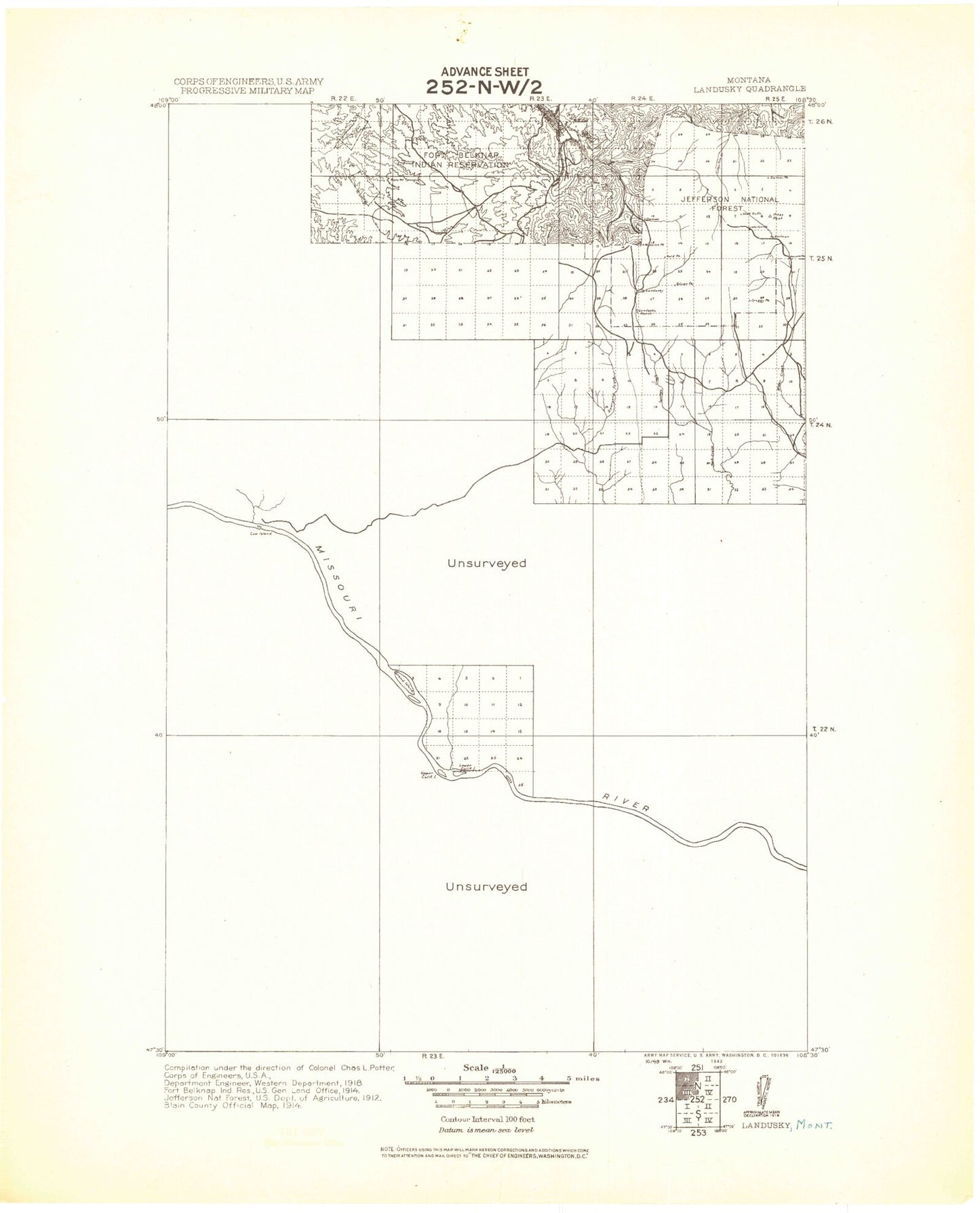
Historic 1943 Landusky Montana 30'x30' Topo Map
Couldn't load pickup availability
Historical USGS topographic map of Landusky in the state of Montana. Scale: 1:125000. Print size: 19" x 24"
This map was published in 1943 and is in the following counties: Blaine, Fergus, Phillips.
The map contains contour lines, roads, rivers, towns, streams, and lakes. Printed on high-quality waterproof paper with UV fade-resistant inks.
Contains the following named places: Abbot Flat, Alder Gulch, Antelope Creek, Antoine Butte, August Mine, Baker Monument, Barnes Ridge, Beaver Mine, Beaver Mountain, Bell Bottoms, Bell Reservoir, Bell Ridge, Bogg Gulch, Bradley Canyon, Buck Coulee, Bull Creek, Button Butte, Cabin Creek, Camp Creek Campground, Carter Coulee, Chimney Gulch, Cottonwood Creek, Cow Creek, Cow Island, Coyote Coulee, Crazyman Coulee, DY Junction, Damon Hill, Dead Cedar Reservoir, Doney Bottoms, Downer Coulee, Dry Gulch, Duval Creek, Duval Gulch, Eagle Child Mountain, Elevator Ridge, Emerson Creek, Fargo Coulee, Fort Belknap Youth Camp, Fritzner Coulee, Galhand Ridge, Gannon Ridge, Gardipee Bottoms, Gold Bug Butte, Gold Bug Mine, Goslin Gulch, Grand Island, Green Mountain, Grouse Gulch, Haines Ridge, Hawkeye Mine, Hay Coulee, Hays, Hessler Ridge, Hideaway Coulee, Indian Peak, J D Reservoir, Jakes Reservoir, John Coulee, Jones Island, Kendall Bottoms, Kendall Cow Camp, Kieth Coulee, King Coulee, King Creek, King Island, Kip Homestead, Knox Bottoms, Knox Ridge, Landusky, Le Clair Bottoms, Linda K Mine, Little Ben Mine, Little Cottonwood Creek, Little Rockies Camp, Lost Ridge, Lower Two Calf Island, Macmeal Ridge, Matador Coulee, Mathison Ranch, Mauland Bottoms, Mauland Ranch, Mc Farland Bench, McChesney Reservoir, McNulty Bottoms, Middle Fork Little Peoples Creek, Mill Gulch, Mission Canyon, Mission Peak, Mission Ridge, Montana Gulch, Montana Gulch Campground, Mud Creek, Musselman Coulee, North Fork Little Peoples Creek, Old Scraggy Peak, Otter Robe Coulee, Pearl Reservoir, Phillips Coulee, Phillips Reservoir, Pony Gulch, Porphyry Gulch, Reed Coulee, Roach Gulch, Roma White Ranch, Ruby Gulch, Ruby Mine, Saddle Butte, Sand Creek, Sand Hills, Saskatchewan Butte, Shell Butte, Shetland Divide, Silver Peak, Siparyann Creek, Siparyann Ridge, Smoky Johnson Hill, Sourdough Creek, South Big Horn Creek, South Fork Little Peoples Creek, South Fork Two Calf Creek, Square Butte, Kills At Night Creek, Sugar Loaf Butte, The Plunge, Thornhill Butte, Twin Snag Reservoir, Two Calf Creek, Upper Two Calf Island, Waydown Reservoir, Whitcomb Butte, White Bottoms, White Coulee, White Cow Canyon, Wilson Park, Winter Creek, Woodhawk Creek, Zortman, Ruby Creek, Haines Coulee, Hay Coulee, Warm Springs Creek, Cope Dam, Dutch Dam, Gumbo Dam, Jakes Dam, Square Butte Dam, Bar Island Dam, Lark Dam, Little Bunny Dam, Philips Dam, Lazy J-D Number 1 Dam, Sixty Dam, Murray Dam, Sagebrush Number 3 Dam, Fergus Number 1 Dam, Cimrhakl Number 4 Dam, Fort Belknap Number 21 Dam, King Coulee Number 1 Dam, David Drum Number 2 Dam, Noel Number 1 Dam, McChesney Reservoir Dam, Khomeni Dam, Armells Creek, King Creek Tailings, Antoine Butte Mine, Damon Hill Mine, Ruby Gulch Tailings, Lucky Maud Number 2 Mine, Alder Gulch Mine, Alder Gulch Number 4 Mine, Alder Gulch Number 5 Mine, Upper Alder Gulch Mine, Pony Gulch Mine, Apex Number 2 Mine, Hawkeye Mine, Lucky Maud Mine, Dry Gulch Mine, Beaver Mine, Lodge Pole Limestone Mine, Hawkeye Millsite, Lower Hawkeye Mine, Antoine Butte Number 2 Mine, Indian Butte, Mitchell Crossing, Flat Top Reservoir, Dry Armells Creek, Thompson Coulee, Antelope Coulee, Sawmill Coulee, Whitmore Spring Creek, Little Rocky Mountains Historical Marker, Grays Point, Fortress Butte, Pine Grove, James Kipp Recreation Area, James Kipp Campground, Picotts Rapids


