MyTopo
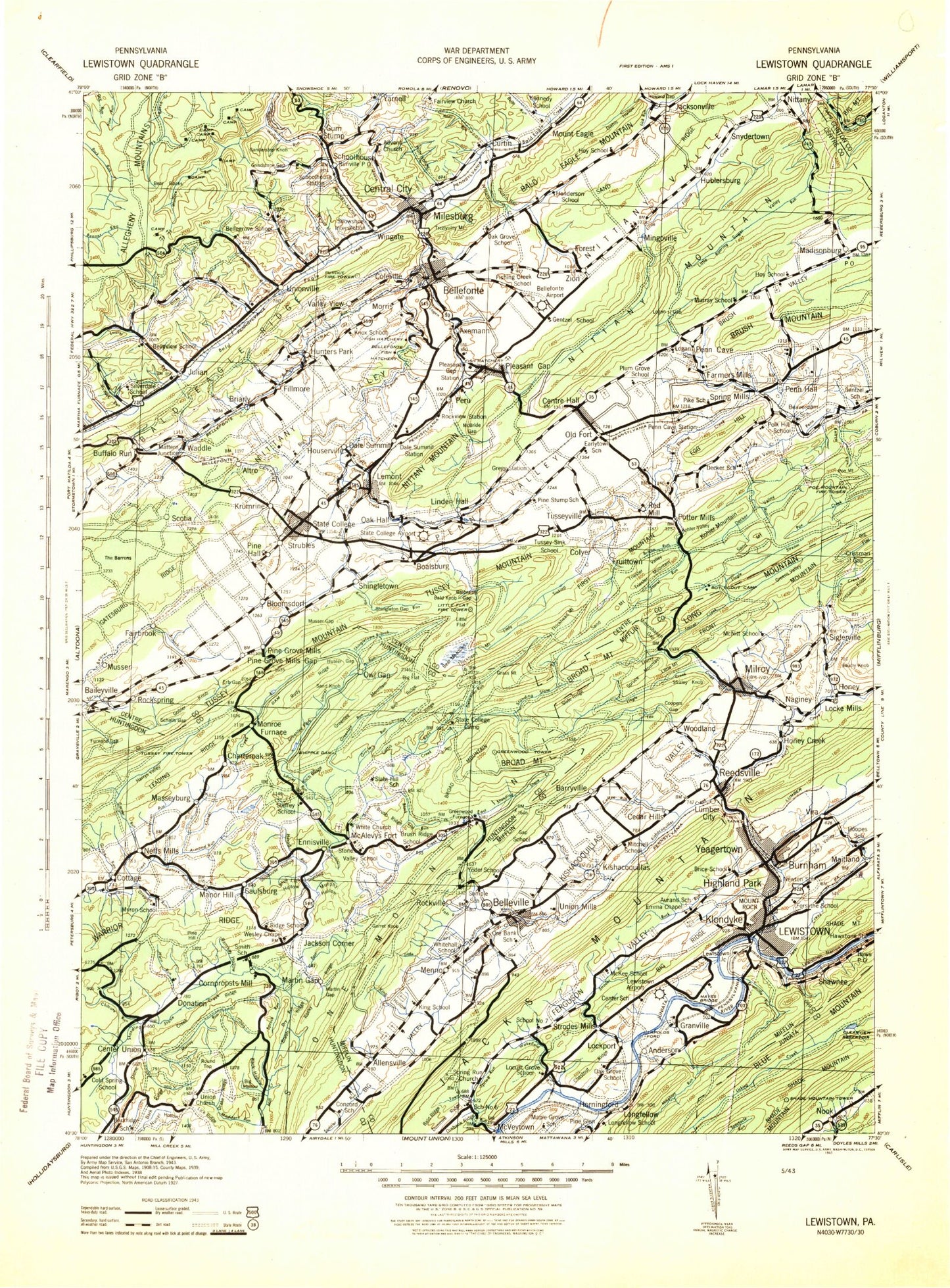
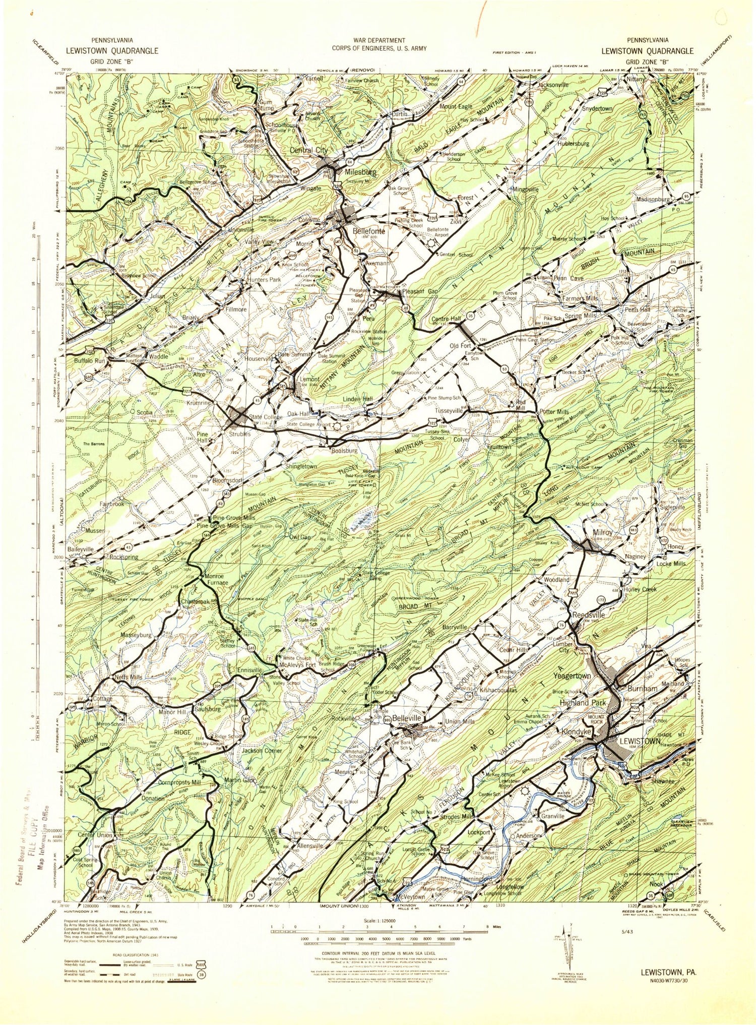
Historic 1943 Lewistown Pennsylvania 30'x30' Topo Map
Couldn't load pickup availability
Historical USGS topographic map of Lewistown in the state of Pennsylvania. Scale: 1:125000. Print size: 16" x 24"
This map was published in 1943 and is in the following counties: Centre, Clinton, Huntingdon, Juniata, Mifflin.
The map contains contour lines, roads, rivers, towns, streams, and lakes. Printed on high-quality waterproof paper with UV fade-resistant inks.
Contains the following named places: Pennsylvania State University Agronomy Research Farm, Alexander Gap, Allensville, Anderson Gap, Antis Run, Armond Run, Axemann, Back Hollow, Bailey Gap, Baileyville, Bald Eagle State Forest, Bald Knob, Bald Mountain, Bald Ridge, Barr Gap, Barrville, Bear Gap, Bear Knob, Bear Rocks, Bear Trail, Bearpen Hollow, Beaver Pond, Bell Ridge, Bellefonte, Belleville, Ben Jacobs Trail, Big Flat, Big Flat, Big Hollow, Big Hollow, Big Kettle, Big Kettle Mountain, Big Poe Mountain, Bigelow Trail, Birch Lick Run, Bixler Gap, Black Hawk Gap, Black Lick Run, Blue Juniata Camp, Blue Lick Hollow, Boal Gap, Boal Gap Run, Boalsburg, Bressler Gap, Britton Run, Broad Mountain, Brower Hollow, Brush Ridge, Brush Ridge, Brush Ridge, Brush Ridge Trail, Brush Trail, Brush Valley, Brushy Hollow, Buck Point, Buck Ridge, Buck Run, Buffalo Run, Buffalo Run, Bullit Run, Burnham, Bush Addition, Bush Hollow, Camp Juniata, Campbell Hollow, Carbon Trail, Carlisle Run, Carson Gap, Cedar Hill, Cedar Run, Center Union, Central City, Centre Hall, Centre Hill, Chestnut Ridge, Chestnut Spring Trail, Chilcoat Run, Chipp Trail, Church Hill, Church Ridge, Circle Ville, Clearview Reservoir, Coffee Run, Cold Spring, Coleville, Collier Trail, Colon Trail, Colonial Hills, Colyer Lake, Coopers Gap, Copeland Spring Trail, Cornpropst Mills, Cottage, Coxes Valley, Coxes Valley Trail, Crabapple Gap, Crissman Gap, Crissman Knob, Croyle Run, Curtin Gap, Dale Summit, Dalevue, Deaf Run Trail, Decker Path, Decker Valley, Detweiler Run, Detweiler Run Natural Area, Devils Hole, Dewitt Run, Diamond Valley, Dicks Run, Diehls Hollow, Donation, Dopps Hollow, Drake Ridge, Dry Hollow, Dry Run, Dry Valley, Dunmire Ridge, East End, Egg Hill, Eleven Springs Trail, Ennisville, Erb Gap, Fairbrook, Fairview, Faust Flat, Faust Valley, Fetzertown, Fillmore, First Mountain, Fish Research Station, Footbridge Trail, Foxy Hollow, Frog Hollow, Front Mountain, Front Ridge, Fruittown, Fulton Gap, Galbraith Gap, Galbraith Gap Run, Ganderstep Knob, Gap Run, Roseann, Garner Run, Garret Knob, Gatesburg Ridge, Bear Meadows, Sand Ridge, Georges Valley, Gettis Ridge, Gingerich Gap, Globe Run, Gobbler Knob, Goose Club Trail, Granville, Granville Run, Grass Mountain, Grass Mountain Trail, Green Grove, Greenlee Run, Greens Valley, Greens Valley, Greens Valley Stream, Greens Valley Trail, Gregory Run, Grindstone Gap, Ground Oak Trail, Gum Stump, Guss Picnic Area, Harris Acres, Harrys Valley, Hartzler Hollow, Havice Creek, Havice Valley, Hawstone, Heckendorn Gap, Hecla Gap, Hecla Park, Henrys Run, Hickory Knob, Highland Park, Holmes-Foster Park, Holt Hollow, Honey Creek, Hooley Gap, Hooley Trail, Horn Run, Hostetler Gap, Hostetler Trail, Houserville, Howard Gap, Hubler Gap, Hublersburg, Hutchinson Pond, Illinois Valley, Indian Trail, Indian Trail, Ionosphere Research Station, Jacks Creek, Jacks Mountain, Jackson Corner, Jacksonville, Johnson Trail, Julian, Kepler Trail, Kettle Run, Kettle Trail, Kings Hollow, Kishacoquillas, Kishacoquillas Creek, Kishacoquillas Valley, Klondyke, Knobville, Koch Ridge, Kohler Mountain, Kohler Valley, Kratzer Trail, Krise Valley, Krislund Camp, Lambs Gap, Laurel Creek, Laurel Creek Reservoir, Laurel Run, Laurel Run, Laurel Run, Leading Ridge, Lees Gap, Linden Hall, Lingle Creek, Lingle Stream, Lingle Trail, Lingle Valley Trail, Little Flat, Little Kettle, Little Kishacoquillas Creek


