MyTopo
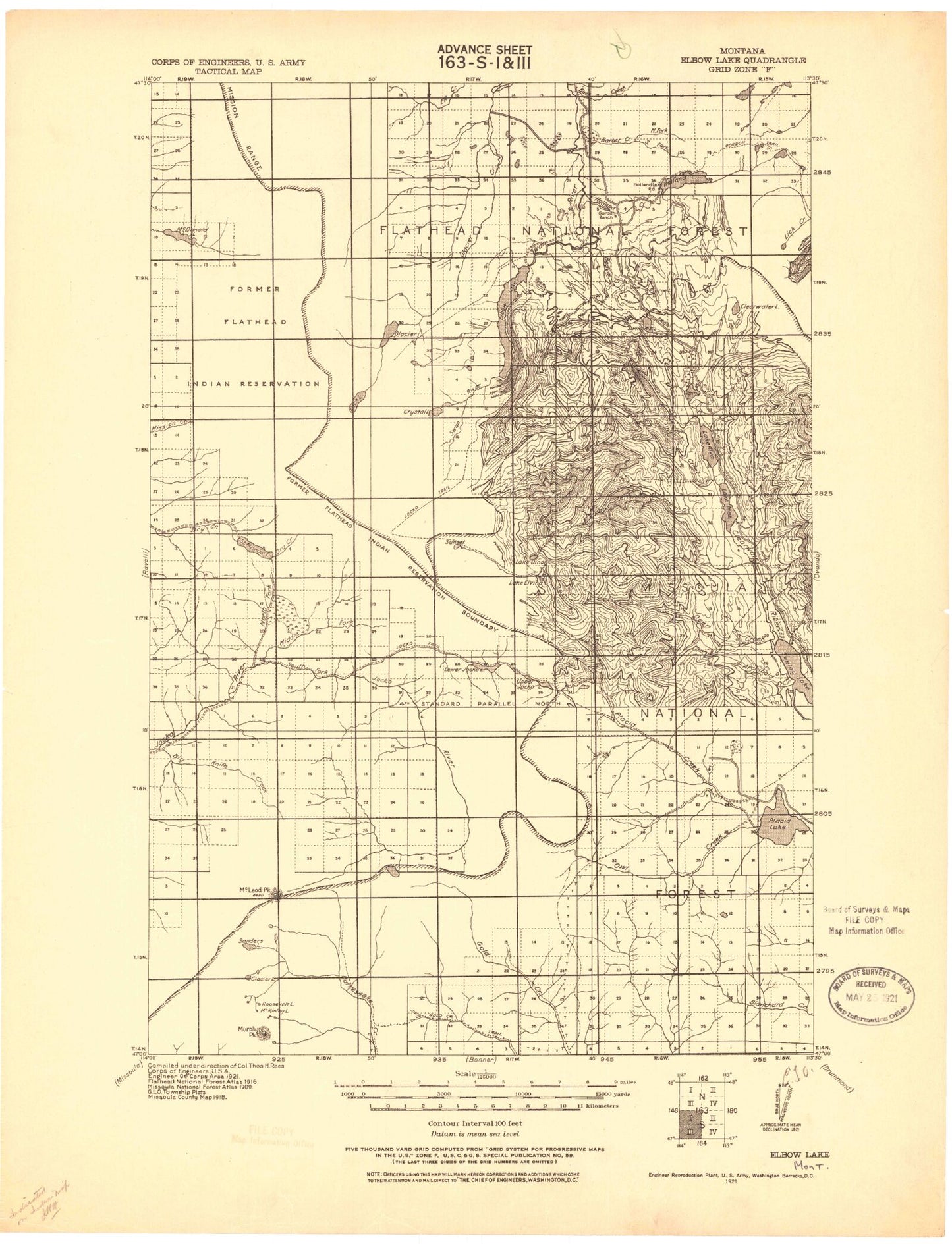
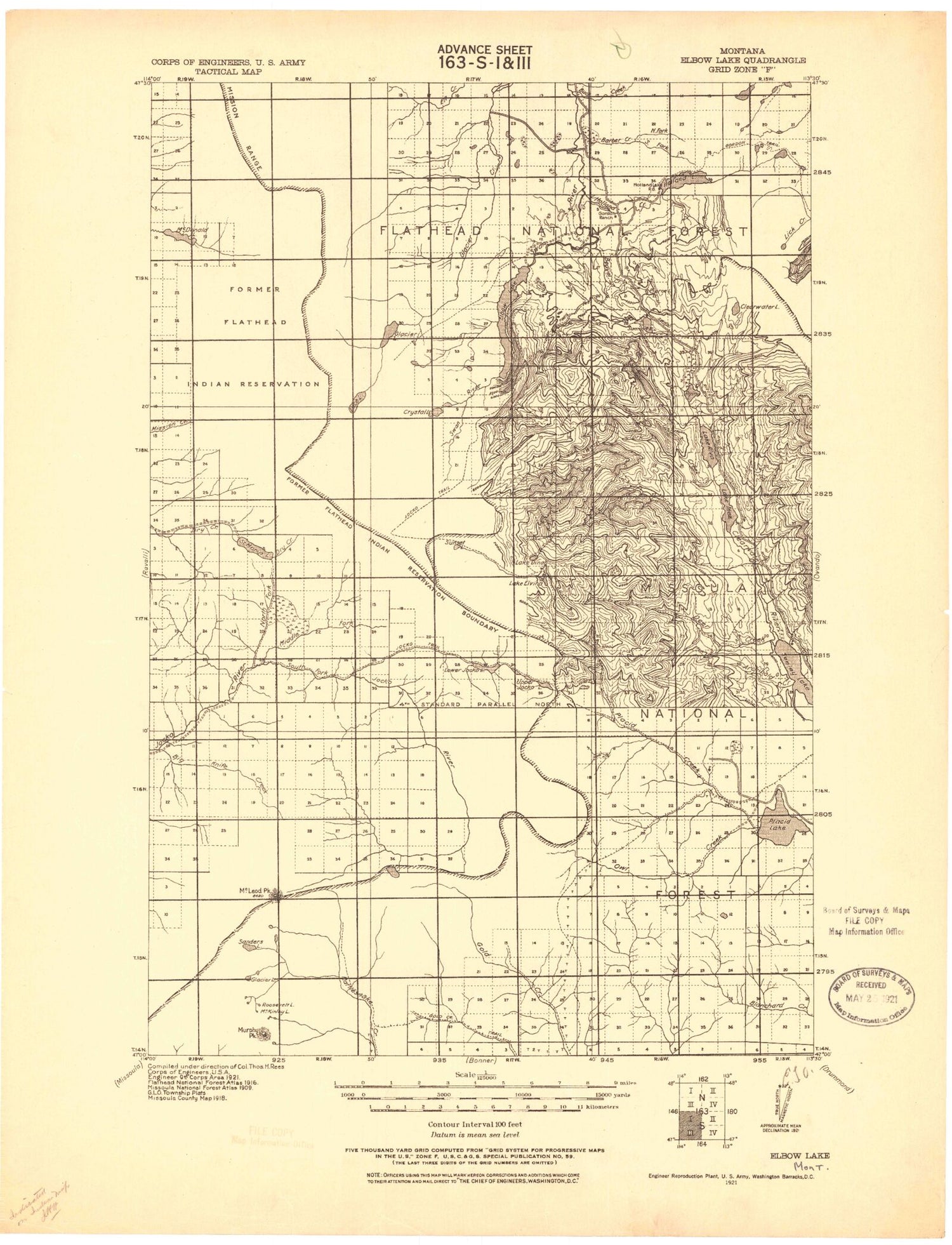
Historic 1921 Lindbergh Lake Montana 30'x30' Topo Map
Couldn't load pickup availability
Historical USGS topographic map of Lindbergh Lake in the state of Montana. Scale: 1:125000. Print size: 18" x 24"
This map was published in 1921 and is in the following counties: Lake, Missoula.
The map contains contour lines, roads, rivers, towns, streams, and lakes. Printed on high-quality waterproof paper with UV fade-resistant inks.
Contains the following named places: Lowary Peak, Weisner Peak, Belmore Sloughs, Cedar Campground, Cold Creek, Gold Creek, Holland Lake, Jocko Lookout, Meadow Lake, Mineral Peak, Picture Lake, Pistol Creek, Porcupine Creek, South Fork Jocko River, Sudden Lake, The Garden Wall, Triangle Peak, Twin Campground, Twin Lakes, Wapiti Lake, White Horse Lake, Lake Alva, Archibald Creek, Ashley Lakes, Auggie Creek, Barber Creek, Beanhole Lake, Beaver Creek, Beaver Creek, Beaver Lake, Belmont Point, Benedict Creek, Bertha Creek, Big Knife Creek, Big Lake, Black Mountain, Blacktail Lake, Blacktail Peak, Boles Creek, Boles Meadow, Boles Point, Boulder Lake, Boulder Point, Buck Creek, Buck Creek, Buck Lake, Bull Lake, Bunyan Lake, Burnt Creek, Camp Creek, Camp Paxson, Carmine Peak, Carter Lake, Cheff Lake, Clearwater Lake, Cliff Lake, Colt Creek, Colt Lake, Conko Lake, Crazy Fish Lake, Crazy Horse Creek, Crescent Creek, Crescent Lake, Crystal Lake, Cygnet Lake, Daughter of the Sun Mountain, Deep Creek, Deer Creek, Lake Dinah, Disappointment Lake, Double Arrow Lookout, Dry Creek Canal, Dry Lake, Duncan Lake, Eagle Lake, Eagle Pass, East Saint Marys Peak, Elizabeth Falls, Elk Creek Point, Elk Lake, Elk Meadow, Elk Pass, Lake Elsina, Falls Creek, Farmers Lakes, Fawn Creek, Fawn Peak, Findell Creek, Finley Creek, Finley Lakes, First Creek, First Lake, Fissure Glacier, Fly Lake, Freeman Pass, Frenchy Creek, Frog Lakes, Game Ridge, Glacier Lake, Glacier Lake, Glacier Peaks, Glacier Sloughs, Goat Mountain, Goat Pass, Gold Creek Meadows, Gold Creek Peak, Gordon Pass, Grant Creek Basin, Gray Wolf Glacier, Gray Wolf Lake, Gray Wolf Peak, Grizzly Creek, Grizzly Lake, Grouse Creek, Mount Calowahcan, Heart Lake, Hemlock Creek, Hemlock Lake, Hemlock Point, Mount Henry, Herrick Run, Hidden Lake, Hidden Lake, High Falls Creek, High Park Lake, High Park Peak, Holland Creek, Horn Creek, Icefloe Lake, Inez Creek, Lake Inez, Island Lake, Jewell Lake, Jocko Creek, Kakashe Mountain, Kraft Creek, Lace Lake, Lagoon Lake, Lake Alva Campground, Lake Creek, Lake Inez Campground, Lake of the Clouds, Liberty Creek, Liberty Meadows, Lick Lake, Lindbergh Lake, Lindy Peak, Little Carmine Peak, Little Lake, Loco Lake, Lone Tree Pass, Long Lake, Loon Lake, Lost Lake, Lost Mountain, Lost Sheep Lake, Lower Riddell Lake, Lucifer Lake, Marshall Creek, Lake Marshall, McDonald Glacier, McDonald Peak, McKinley Lake, McLeod Peak, Meadow Lake, Middle Fork Jocko River, Middle Fork Mission Creek, Mission Falls, Missoula Snow Bowl, Mollman Lakes, Mollman Pass, Moon Lake, Mosquito Peak, Mountaineer Glacier, Mountaineer Lake, Mountaineer Peak, Murphy Creek, Murphy Peak, Necklace Lakes, No Fish Lake, North Fork Elk Creek, North Fork Hemlock Creek, North Fork Mission Creek, North Fork Placid Creek, North Hemlock Lake, North Jocko Peak, Onemile Pond, Owl Creek, Panoramic Peak, Pass of the Winds, Pasture Lake, Peak Y, Pendent Lake, Pierce Creek, Pierce Lake, Placid Creek, Placid Lake, Point Saint Charles, Point Six, Power Creek, Ptarmigan Mountain, Rainy Lake, Rainy Lake Campground, Red Butte, Red Butte Creek, Rice Creek, Richmond Creek, River Point Campground, Roosevelt Lake, S Canal, S-Fourteen Creek, Saint Marys Lake, Sanders Lake, Sapphire Lake, Sawyer Creek, Scenic Lakes, Second Creek, Seeley Lake, Seeley Lake Campground, Seeley Lake Game Preserve, Seeley Lake Ranger Station, Seepela Lake, Sheep Creek, Sheridan Lake, Mount Shoemaker, Skylark Lake, Sleeping Elk Lake, Slippery John Creek, South Fork Barber Creek, South Fork Elk Creek, South Fork Mission Creek, Spider Lake, Spook Lake, Spook Lake, Lake of the Stars, Stoner Lake


