MyTopo
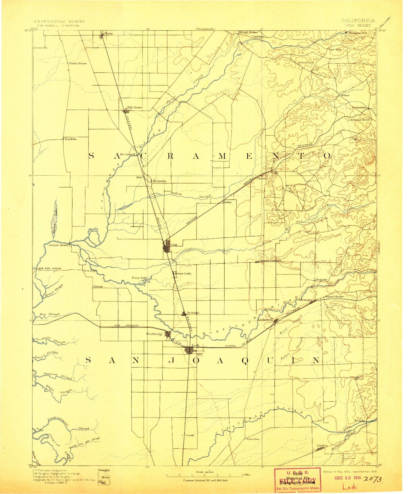
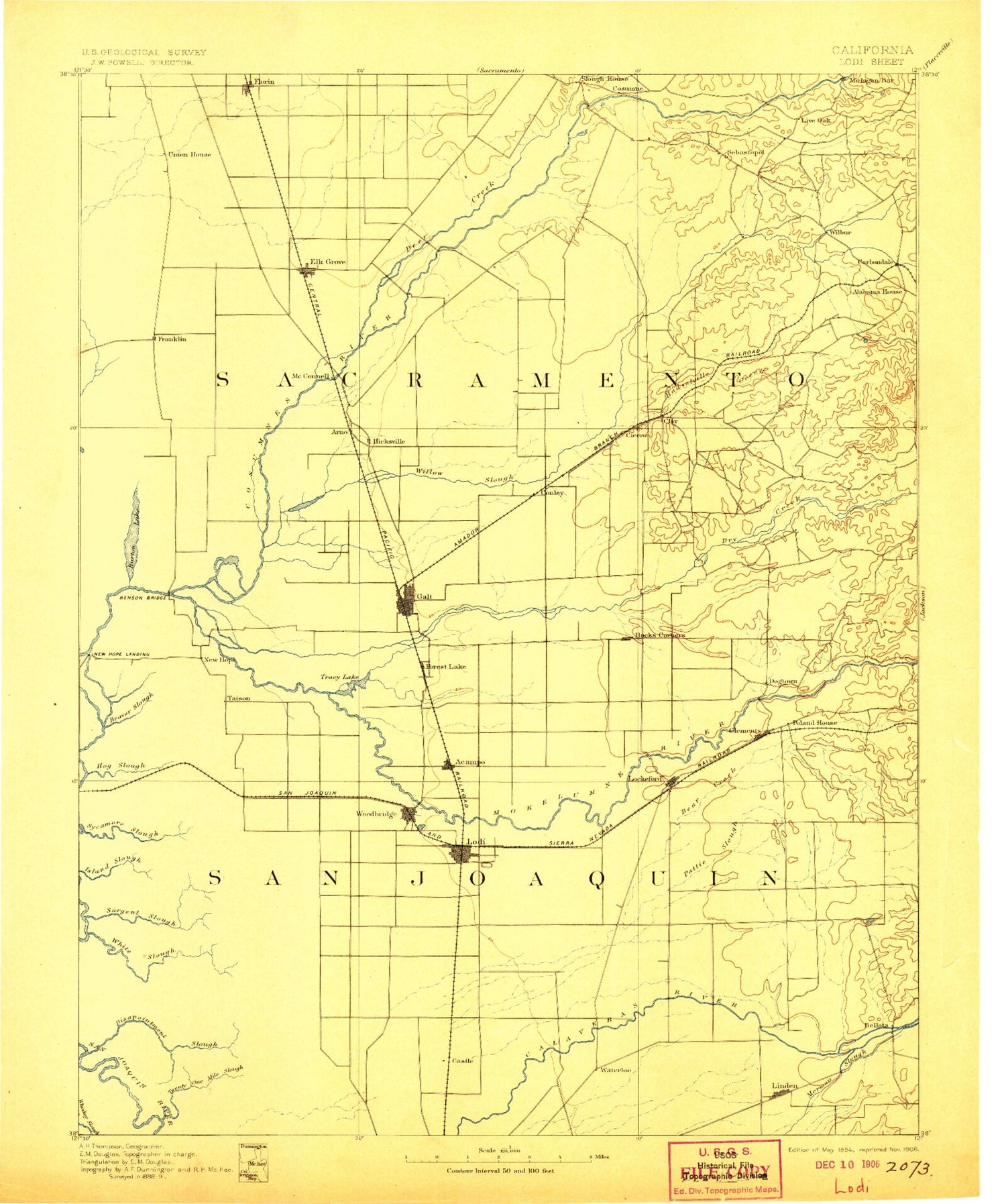
Historic 1894 Lodi California 30'x30' Topo Map
Couldn't load pickup availability
Historical USGS topographic map of Lodi in the state of California. Scale: 1:125000. Print size: 17" x 24"
This map was published in 1894 and is in the following counties: Amador, Sacramento, San Joaquin.
The map contains contour lines, roads, rivers, towns, streams, and lakes. Printed on high-quality waterproof paper with UV fade-resistant inks.
Contains the following named places: Acampo, American Legion Park, Anderson Park, Arkansas Creek, Atlas Tract, Badger Creek, Beacon Creek, Bear Creek, Bear Slough, Beaver Slough, Bishop Cut, Bishop Tract, Blakely Park, Bottimore Ranch, Brack Tract, Bridge House, Browns Creek, Camanche Dam, Canal Ranch, Cherokee Memorial Park, Clements, Cosumnes, Cosumnes River Overflow, Coyote Creek, Dead Horse Cut, Deadman Gulch, Deer Creek, Disappointment Slough, Dry Creek, Duck Creek, Elder Creek, Elk Grove County Park, Elk Grove Creek, Emerson Park, Empire Tract, Fern Island, Fivemile Creek, Fivemile Slough, Florin Road, Florin Mall, Florin Square Shopping Center, Forest Lake, Fourteenmile Slough, Franklin, Frye Creek, Goose Creek, Griffith Creek, Hale Park, Haypress Reach, Headreach Cutoff, Headreach Island, Henderson Village, Hog Island, Hog Island Cut, Hog Slough, Honker Cut, Islemouth Slough, Jack Tone Homestead Historical Marker, Jahant Slough, King Island, Kingdon, Kofu Park, Kuhn Ranch, Laguna Creek, Little Connection Slough, Loch Lomond Park, Lodi Municipal Lake Park, Michigan Bar, Michigan Bar Historical Marker, Micke Grove Country Park, Middle Paddy Creek, Mosher Creek, Mosher Slough, Murphy Creek, New Hope Tract, North Fork Badger Creek, Northwest Main Canal, Omochumnes, Paddy Creek, Paradise Point, Pixley Slough, Rindge Tract, Rio Blanco Tract, Rolling Draw, Sanjon De Los Moquelumnes, Sheldon, Sherwood Forest Park, Shima Bend, Shima Tract, Shin Kee Tract, Silva Field, Skunk Creek, Whiskey Slough, Arroyo Seco, Florin Creek, Hadselville Creek, Jackson Creek, Little Potato Slough, Loch Lane, Parkway, South Main Canal, South Paddy Creek, South Spud Island Recreation Area, Southgate Plaza Shopping Center, Spud Island, Stone Lake, Strawberry Creek, Sycamore Slough, Telephone Cut, Terminous Tract, Thornton, Tinsley Island, Tracy Lake, Tule Island, Twentyone Mile Cut, Twin Cities, Twin Oaks Park, Upland Canal, Van Buskirk Park, Villa Dorado Park, Vinewood Park, West Main Canal, White Slough, Whitehouse Creek, Willow Creek, Windmill Draw, Devils Isle, Bellota, Black Lands, Bruceville, Clay, Dillard, Lane, Monada, Tomspur, Urgon, Grizzly Slough, Laguna West, Cosumnes River, Laguna, Ward Cut, Willow Creek, Sacramento County, Lodi Gas Field, River Island Gas Field, West Thornton-Walnut Grove Gas Field, Elk Grove, Florin, Galt, Linden, Lockeford, Lodi, Wilton, Woodbridge, Alta Mesa Gun Club, Colony Substation, Colony-Woods Substation, Elkhorn Country Club, Mokelumne River Fish Installation, Swenson Park Golf Course, Valley-hi Golf Course and Country Club, White Slough Water Pollution Control Plant, Woodbridge Country Club, Centralia, Dogtown, Herald, McConnel, Need, Pollock, Ampere, Armstrong, Bear Creek, Carbondale, Cherokee, Collierville, Cosumne, Dougherty, East Side, Foppiano, Guild, Haight, Kettleman, Lincoln Village, Live Oak, Lodi Junction, Mokelumne City, New Hope Landing, Norton, Pearson, Peltier, Point Pleasant, Pope, Sloughhouse, Terminous, Victor, Villinger, Walmort, Waterloo, Woodlake, Youngstown, Camanche 31-016 Dam, Woodbridge Diversion 71-000 Dam, Granlees 451 Dam, Van Vleck 456 Dam, Mills 457 Dam, Schneider 458 Dam, Hamel 459 Dam, Davis Number 2 572-002 Dam, Foothill Ranch 573 Dam, Rancho Seco 1009-013 Dam, Solids Storage Basins 2002 Dam, Emergency Storage Basin 2004 Dam, Headreach Landing, McDonald Island, New Hope, Smith Lake, Bradford Winery, Hicksville, Hawes, Mokelumne Beach, Roma, Cabrillo Park, Chorley Park, Crowfoot Park, Dayor Sports Field, Florin Creek Park, Florin Park, Freeport Park, Kemble Park, Hopkins Park, Meadowview Park, Nielsen Park, Royal Park, Rutter Park, Southgate Park, Valley High Park


