MyTopo
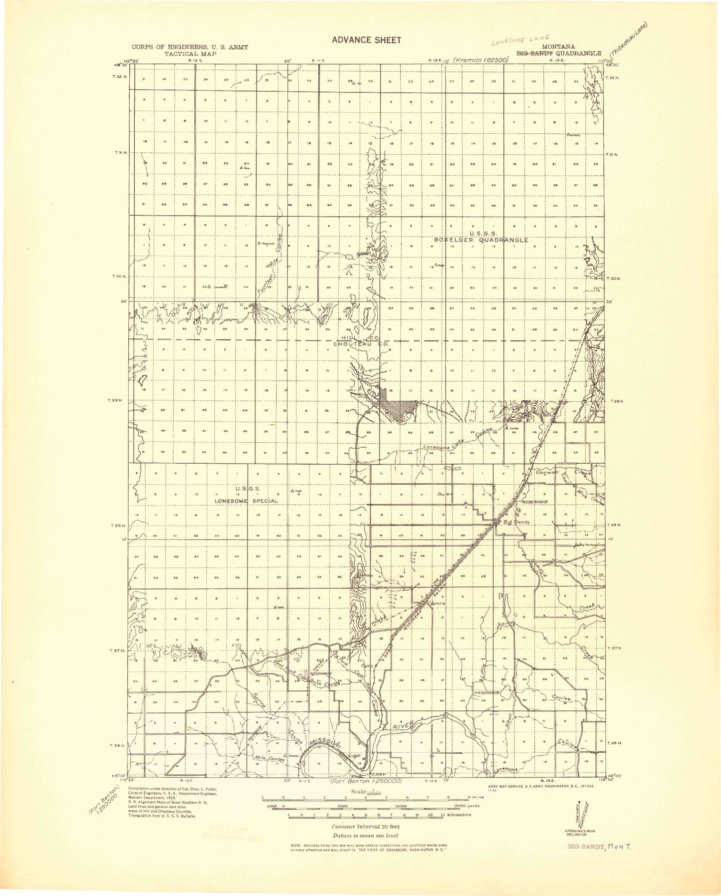
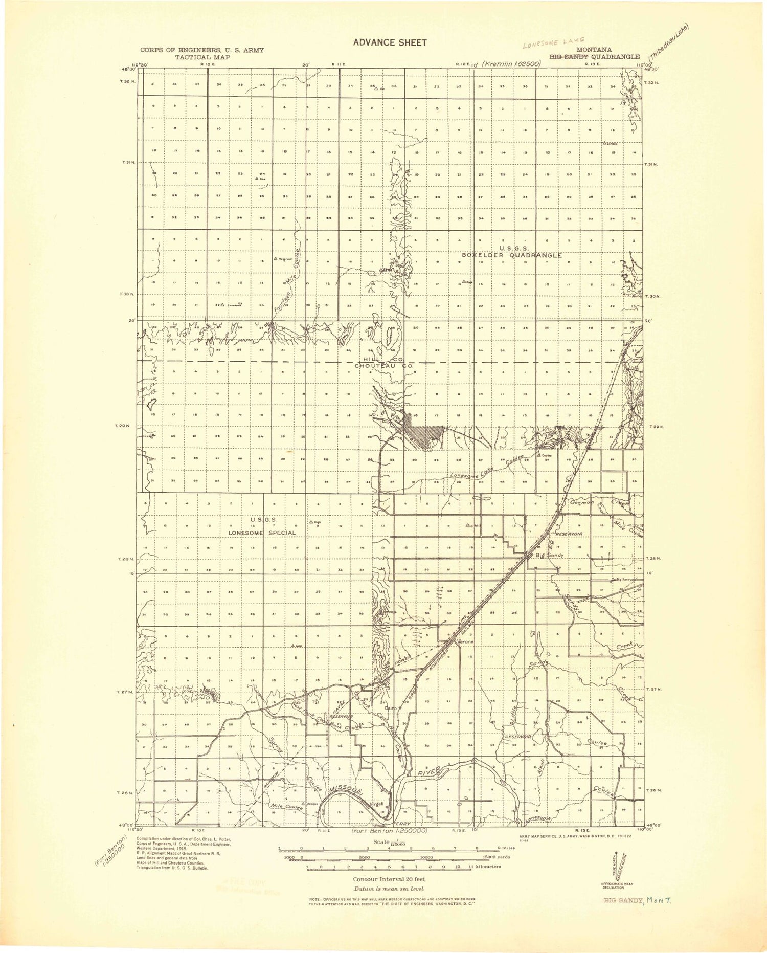
Historic 1919 Lonesome Lake Montana 30'x30' Topo Map
Couldn't load pickup availability
Historical USGS topographic map of Lonesome Lake in the state of Montana. Scale: 1:125000. Print size: 18" x 24"
This map was published in 1919 and is in the following counties: Chouteau, Hill.
The map contains contour lines, roads, rivers, towns, streams, and lakes. Printed on high-quality waterproof paper with UV fade-resistant inks.
Contains the following named places: Alkali Coulee, Bailey Reservoir, Barneys Coulee, Big Sandy, Boggs Island, Boxelder Creek, Coal Banks Coulee, Coal Banks Landing, Coal Mine Coulee, Dry Fork Coulee, Duck Creek, Faulkners Coulee, Fourteenmile Coulee, Gorman Creek, Grass Reservoir, Halfway Coulee, Jackson Coulee, Jerome Coulee, Kenilworth, Little Sandy Creek, Lonesome Lake, Lonesome Lake Coulee, Lonetree Coulee, Rattlesnake Butte, Rattlesnake Coulee, Sage Lake Coulee, Schmidt Reservoir, Sixmile Coulee, Sixmile Coulee, Spring Coulee, Twelvemile Coulee, Verona, Virgelle, M Hass Dam, Schmidt Dam, Howard Goodian Dam, Hilldale Colony Dam, Dees Brothers Dam, Kiemle Dam, Kiemle Reservoir, Beirwagen Dam, R E Braun Dam, Turk Dam, Knottnerus Dam, Sibra Dam, Cornett Fish Dam, Bailey-Dees-Frey Dam, Bailey Reservoir, Halverson Ranch Dam, Miller Brothers Dam, Osterized Dam, MacDonalds Farm Reservoir Dam, Halverson Ranch Incorporated Number 1 Dam, Moncarpic Dam, Narcissus Dam, Dionysia Dam, Tryannosaurus Dam, Diomedes Dam, Dyan Dam, Dodecanese Dam, Kamaloop Dam, Kamaloop Number 2 Dam, Sumo Dam, Tye Dam, Rocky Crossing Reservoir Dam, Box Elder, Rocky Crossing, Lonesome Prairie, Box Elder, General Mills Incorporated Elevator, Big Sandy, Centennial Mills Incorporated Elevator, General Mills Incorporated Elevator, Big Sandy Trailer Court, Coalbanks Campground, Coalbanks Recreation Area, School Section Coulee, Snake Coulee, Big Sandy Division, Town of Big Sandy


