MyTopo
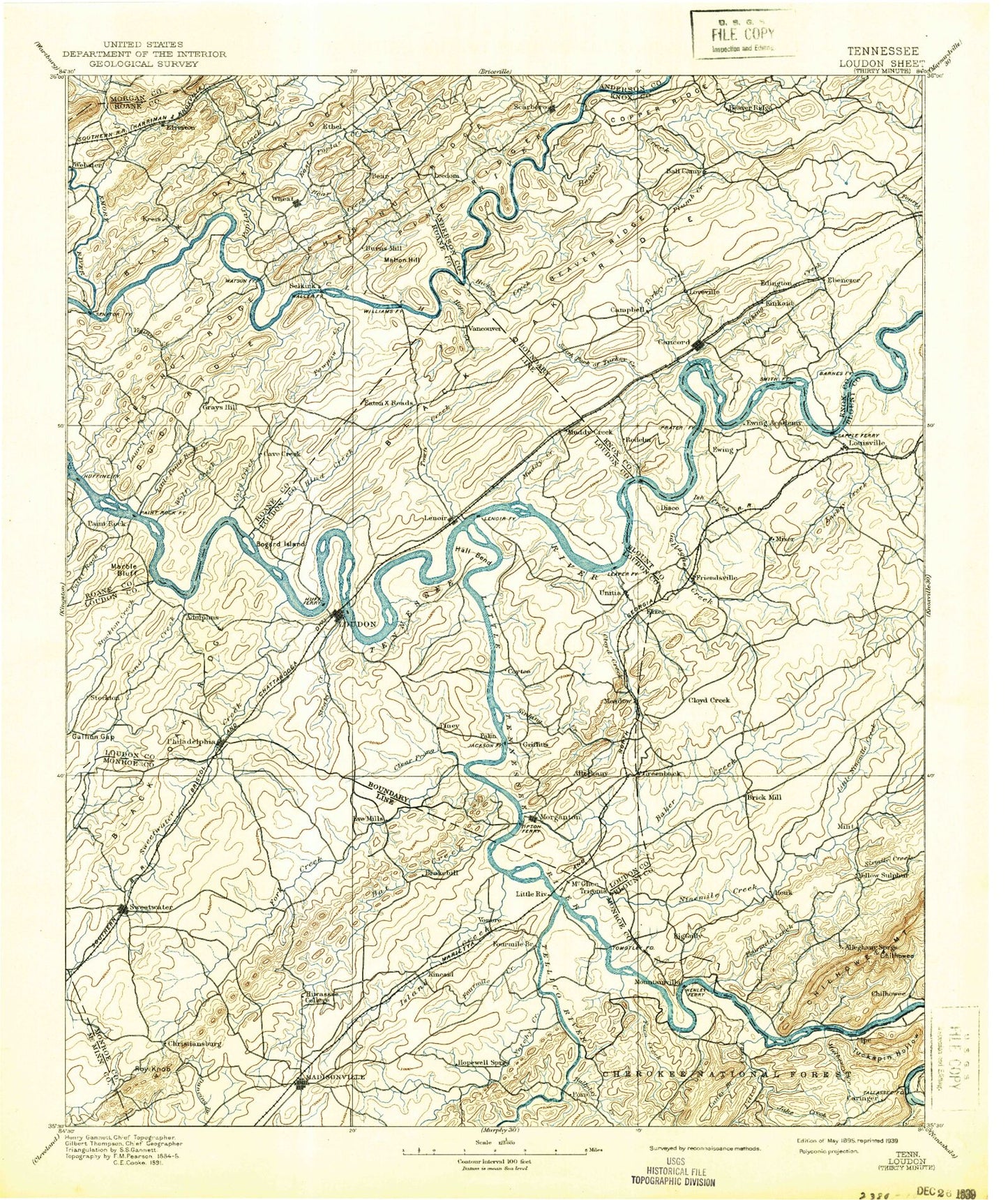
Historic 1895 Loudon Tennessee 30'x30' Topo Map
Couldn't load pickup availability
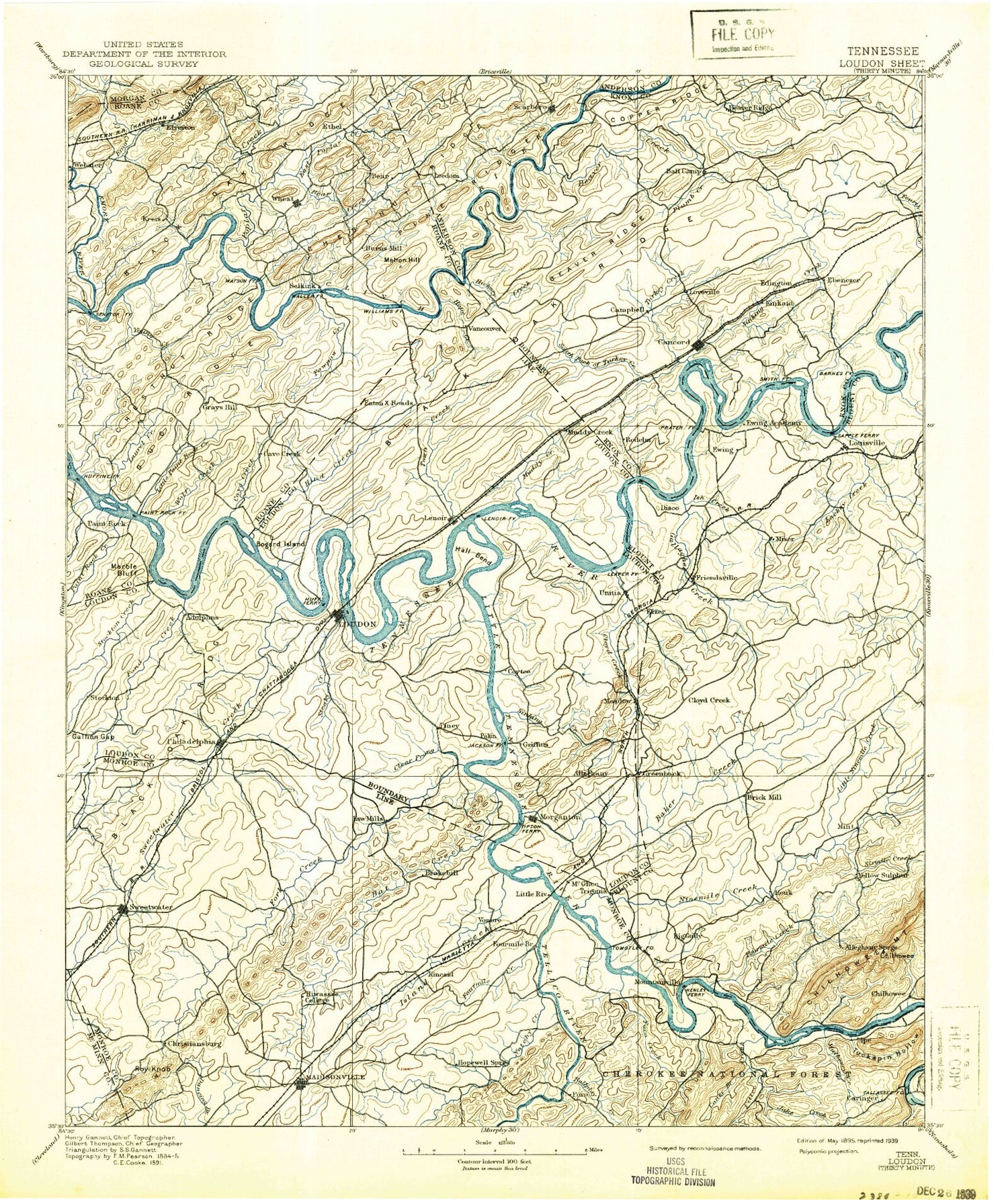
Historical USGS topographic map of Loudon in the state of Tennessee. Scale: 1:125000. Print size: 17" x 24"
This map was published in 1895 and is in the following counties: Anderson, Blount, Knox, Loudon, McMinn, Monroe, Morgan, Roane.
The map contains contour lines, roads, rivers, towns, streams, and lakes. Printed on high-quality waterproof paper with UV fade-resistant inks.
Contains the following named places: Little Tennessee River, Mulberry Creek, Blackoak Ridge, Bullrun Creek, Citico Creek, East Fork Hicks Creek, Huff Ferry Bend, Plumb Creek, Poplar Creek Valley, Scarboro Creek, Sheep Pen Bluff, Shelley Ridge, Sherril Heights, Shingle Mountain, Short Haul Gap, Short Mountain, Short Ridge, Sinking Creek, Sinking Creek, Sinking Creek, Slide Hollow, Smoky Branch, Smoky View Estates, Snow Ridge, Solway, South Hills Golf Course, Spanish Trails, Spradling Branch, Spradling Ridge, Spring Branch, Statesview, Stillhouse Hollow, Stockton Valley, Stonebrook, Stony Grave Gap, Stony Grave Gap, Stony Grave Hollow, Stratton Knob, Stubbs Bluff, Suburban Hills, Swirl Hole Bend, Sycamore Branch, Tallassee, Tan Rara Oesta, Tank Hollow, Tarkiln Branch, Taylor Branch, Tellico Dam, Ten Mile Creek, Terry Knob, Third Creek, Thornton, Tipton Orchard Hollow, Toliver Island, Tomb Ridge, Toole Bend, Trail Ridge, Trails West, Trestle Branch, Trigonia, Turkey Creek, Turkeypen Bluff, Turkeypen Branch, Turkeypen Ridge, Twin Lakes, Union Grove, Vaden Hollow, Village Green, Vinegar Valley, Virtue, Vonore, Walker Branch, Walker Branch, Wallace Creek, Walls Hollow, Webster Branch, Wedgewood Hills, West Forest, West Hills, West Town Mall, Westavia Woods, Westborough, Westlyn, Westmoreland Heights, Whiteoak Lake, Wildcat Rock, Williams Branch, Williams Hollow, Williamson Branch, Windsor Park, Wolf Creek, Wood, Wooded Acres, Woodland Acres, Woodpecker Knobs, Wright Bend, Wright Bluff, Young Creek, Zion Childrens Home, Zion Hollow, Carringer Branch, Pond Creek, Rough Prong, Acorn Gap, Aldenwood Park, Alexander Knob, Alnwick, Amherst, Armona, Armstrong Pond, Ashley Oaks, Bacon Bend, Bacon Creek, Badgett Hollow, Baker Hollow, Ball Camp, Barber Shaft Ridge, Bat Creek Knobs, Bear Creek, Bear Creek Valley, Bear Hollow, Bearden Creek, Beaver Creek, Beaver Valley, Belle-Aire, Belmont West, Berkshire Wood, Bethel Valley, Big Gully, Big Hill, Big Piney, Billy Ridge, Binfield, Bitter Creek, Black Pond, Blackoak Ridge, Blair Bend, Bolden Knight Bluff, Bonneville Estates, Boxwood Hills, Brashear Creek, Breadtray Hollow, Brentwood, Browder Bend, Browder Hollow, Brown Hollow, Brown Hollow, Buchannan Mountain, Bucktown, Bud Hodge Lake, Bulging Branch, Bull Bluff, Bunker Hill, Burchfield Heights, Burton Branch, Burton Mill, Bush Island, Busselltown, Butler Mountain, Buzzard Roost, Byington, Byrd Branch, Cactus Cove, Calloway Ridge, Camelot, Canby Hills, Caney Branch, Canton Hollow, Carl Cowan Park, Carson Pond, Cave Creek, Cave Spring Branch, Cedar Bluff, Cedar Bluff, Cedar Springs, Centersville, Chambers Hollow, Chaney Branch, Cheneworth Gap, Cherry Branch, Chestnut Ridge, Chilhowee Dam, Chilhowee Lake, Chilogatee Gap, Choto Hills, Chris Branch, Christmas, Clacks Gap, Clear Creek, Clear Prong, Clover Hill, Cochran Creek, Cockspur Branch, Cockspur Knob, Cockspur Lead, Cody Field Branch, Concord, Concord Dock, Concord Park, Cook Hollow, Cooper Branch, Cooper Gap, Cooper Hollow, Corntassel Branch, Coulter Shoals, Cove Lake, Cox Creek, Craighead Lake, Crestwood Hills, Crowder Bluff, Crumley Hollow, Cumberland Estates, Cure-al Branch, Curtis Hollow, Cusick, Davidson Creek, Davis Island, Dead Horse Lake Golf Course, Deadmans Curve, Deane Hill, Diamond Branch, Dickey Ridge, Dickey Valley, Dixie Lee Junction, Dog Gap, Dry Creek, Dry Prong, Dry Valley Branch, Dug Gap, Dug Ridge, Duncan Branch, Duncan Branch, Dunn Ridge, Dye Stone Gap, East Fork Poplar Creek, East Fork Ridge


